Elevation of Constitution Hwy, Gordonsville, VA, USA
Location: United States > Virginia > Orange County > >
Longitude: -78.261476
Latitude: 38.1810982
Elevation: 148m / 486feet
Barometric Pressure: 100KPa
Elevation Map:
Satellite Map:
Related Photos:
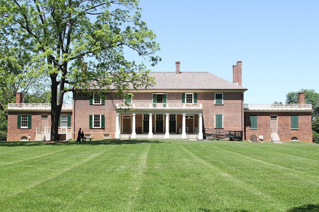
Montpelier - View of the Manor House from the Back Lawn
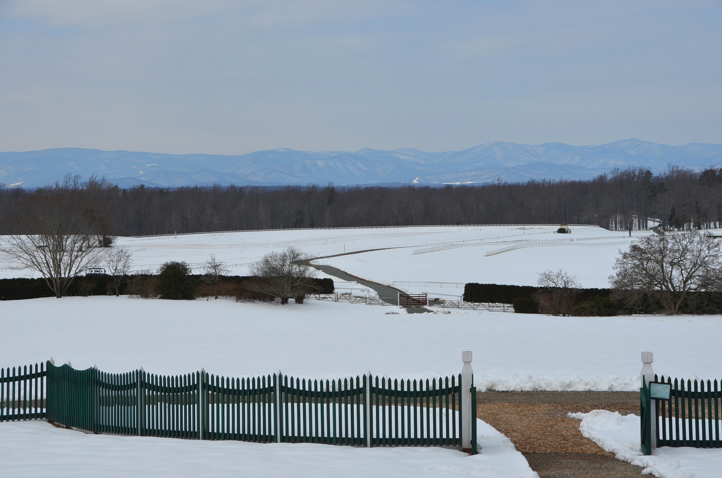
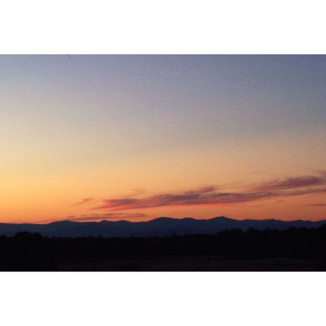
Blue Ridge view
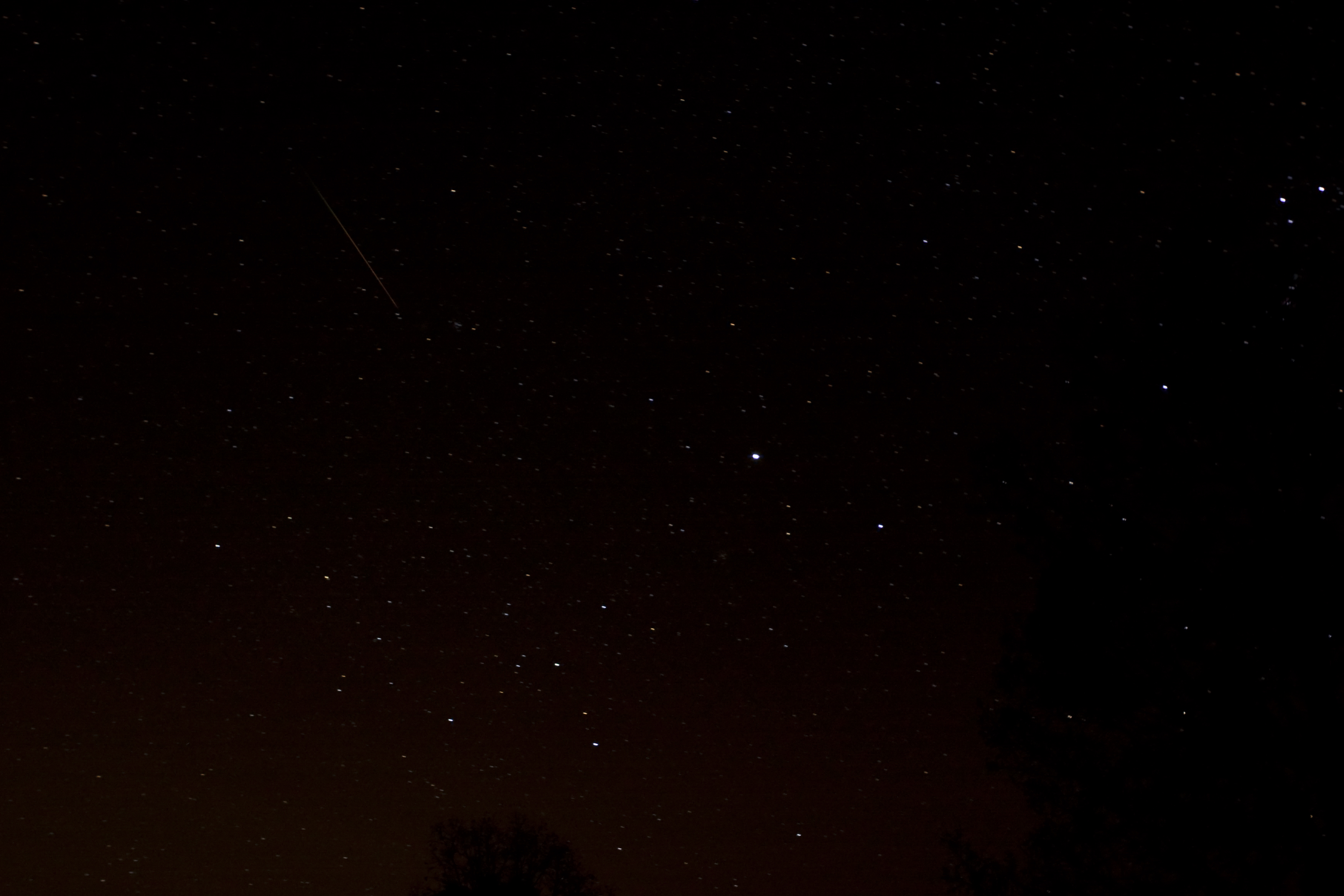
Leonid Meteor Shower November 17th 2009
kitchen view
Fresh Mountain Air
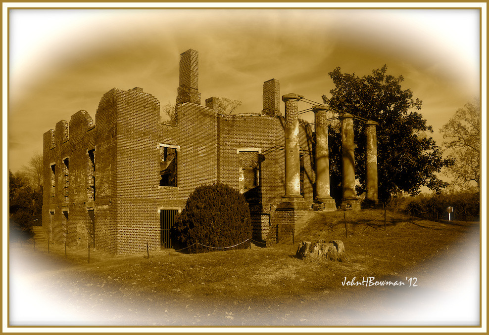
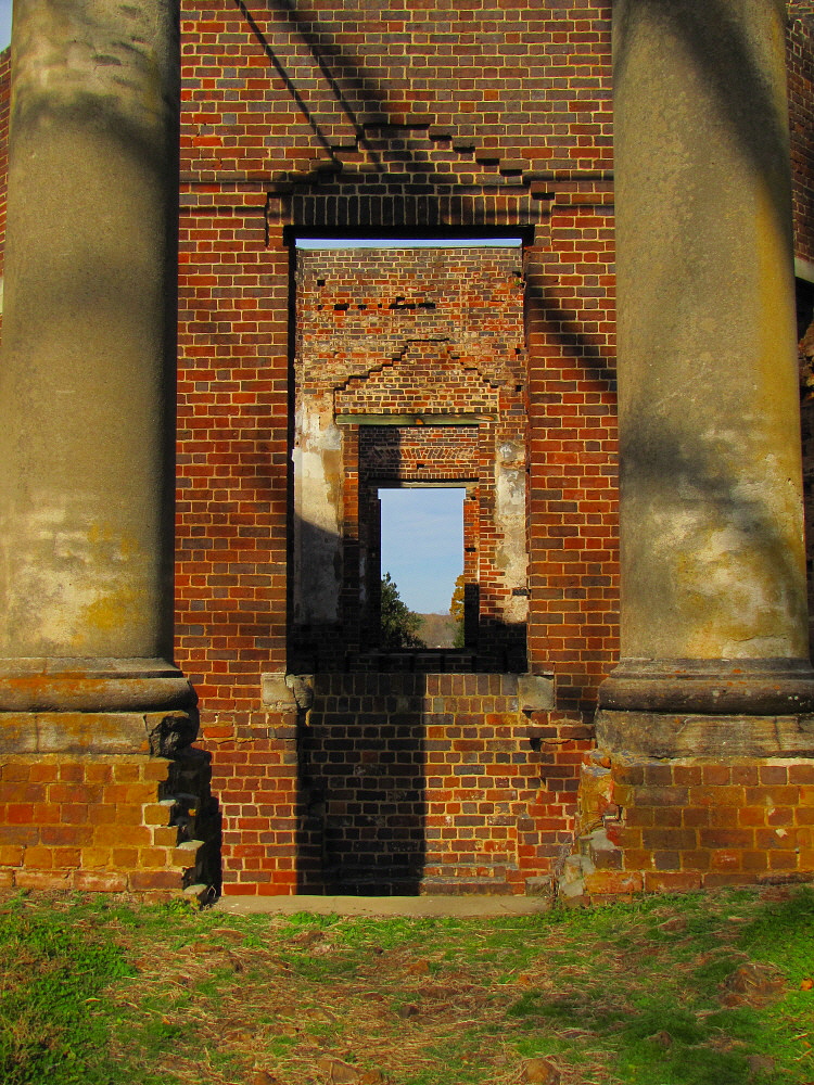
Barboursville Ruins
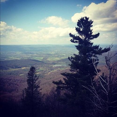
View from Skyline Drive
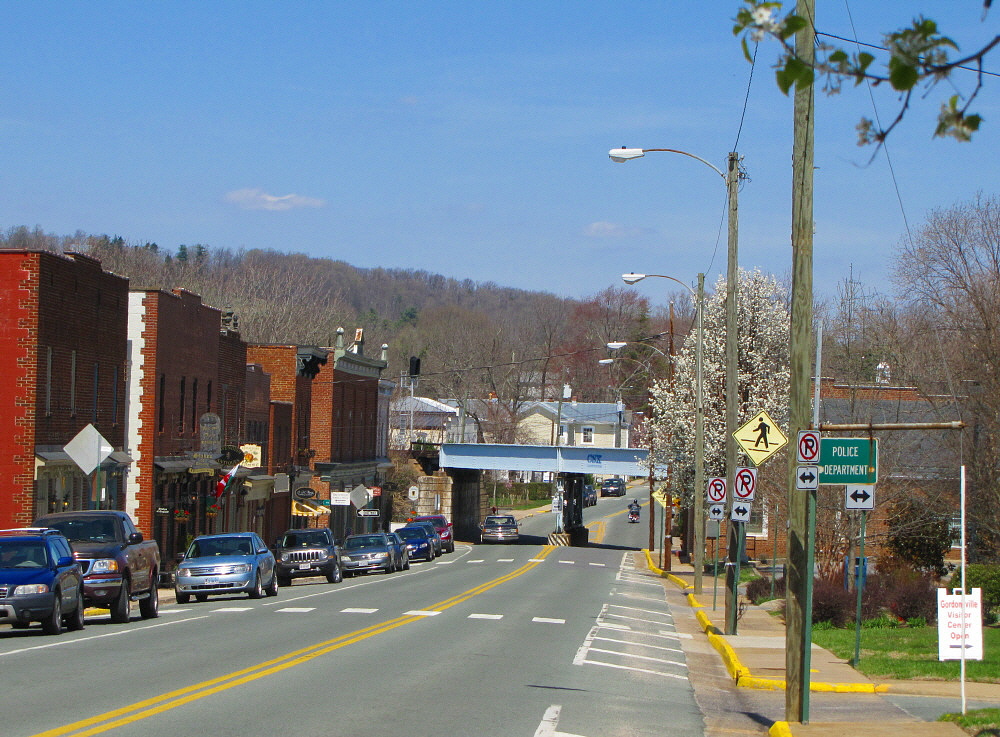
Gordonsville, Virginia

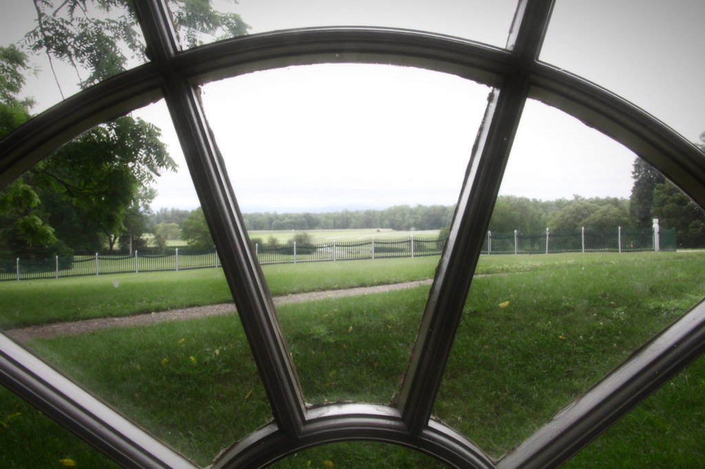
Mother Madison's Kitchen Window
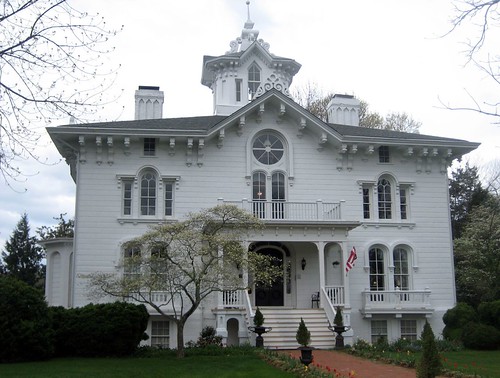
Mayhurst Inn, Orange (Orange County), VA
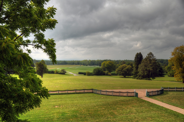
View of Montpelier Grounds
Through the Windows

Montpelier - View from the Front of the Manor House
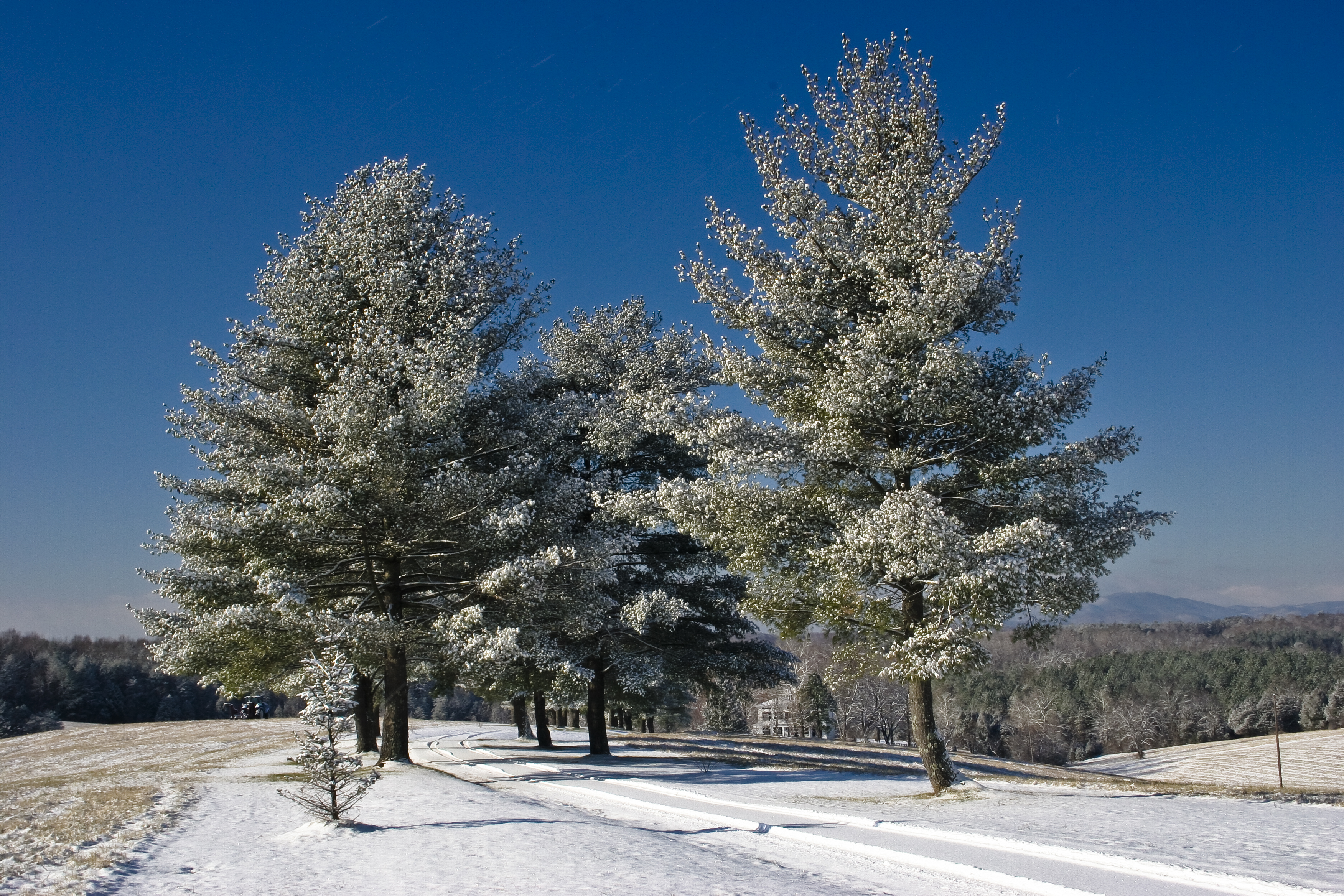
Snowy trees
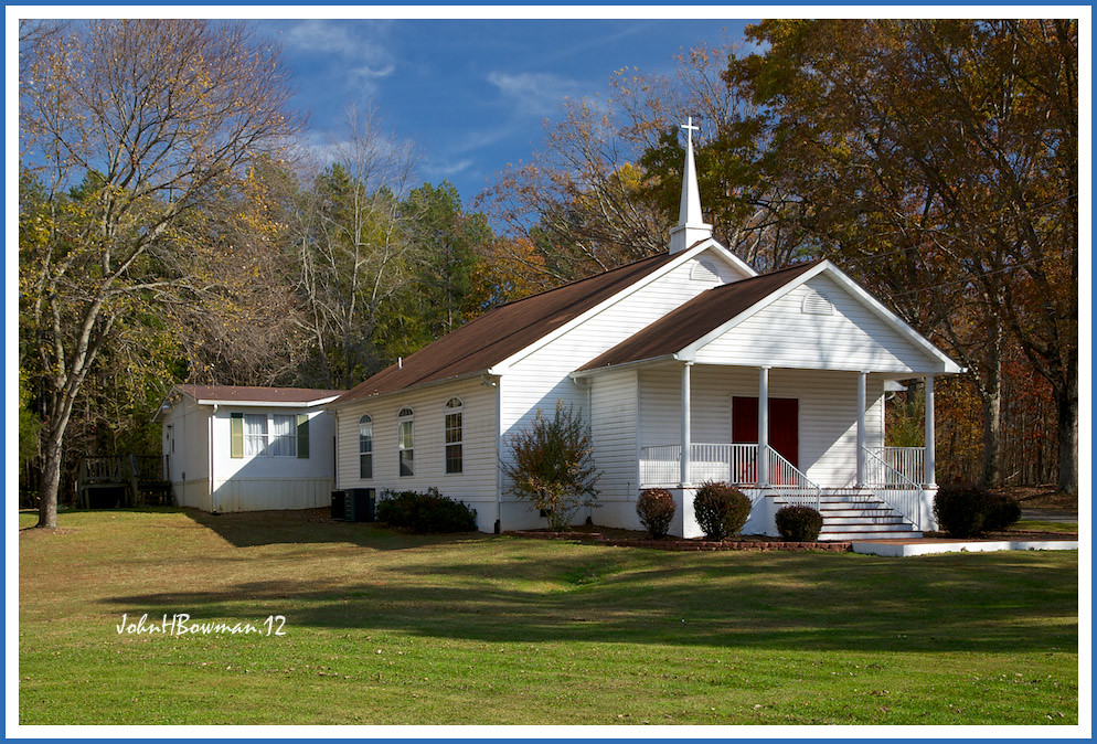
New Hope Baptist Church
Montpelier - Slave Cemetery
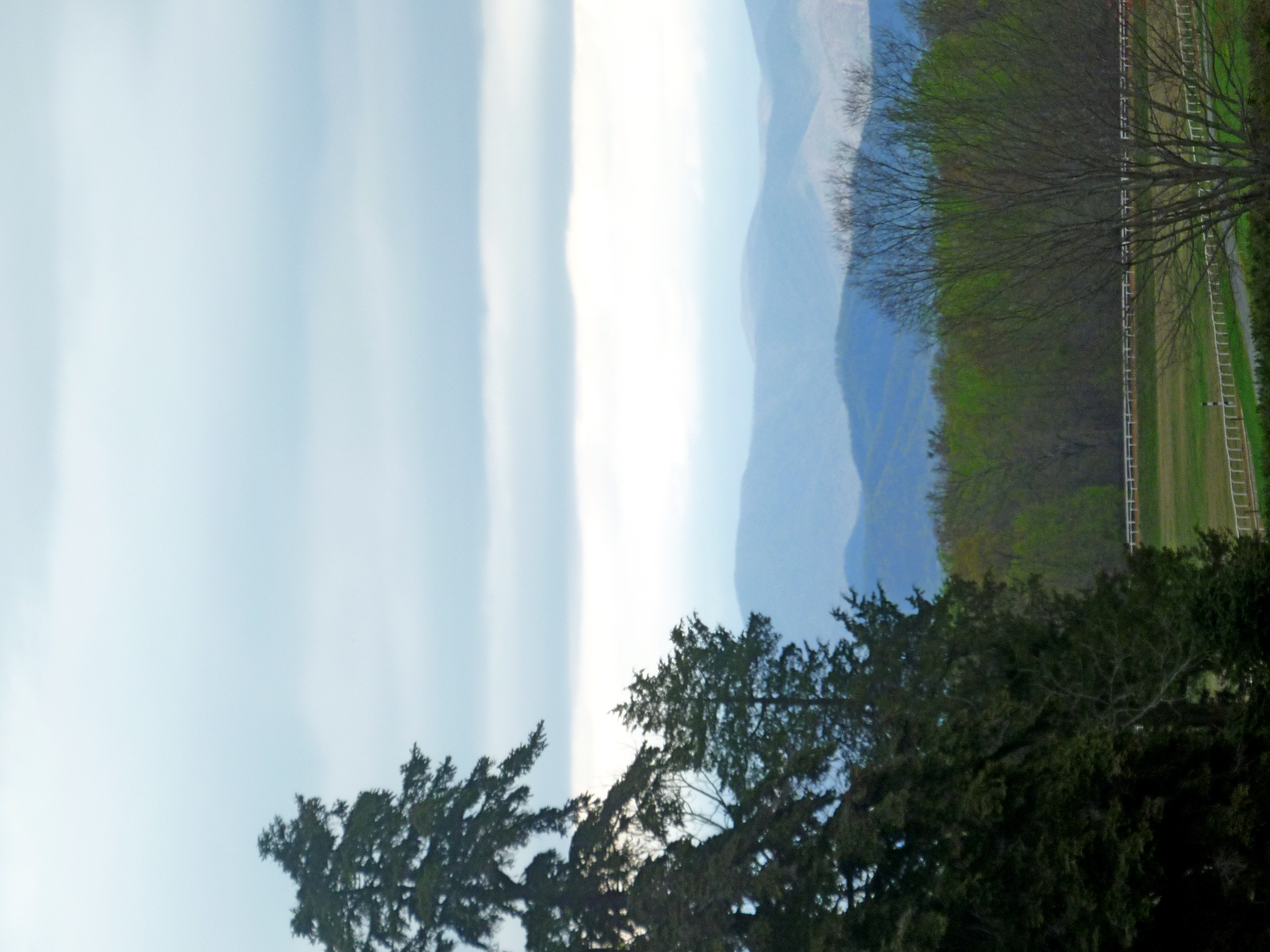
View of the southwest mountains from our NE paddock/field

Former Safeway Interior 1 - Orange, VA
Oh Deere, we're being attacked by a green monster!
Today @reeves1968 and I gave a special twighlight tour of our #digmontpelier @jmmontpelier. While talking about the 18th century landscape, and the view the landscape walls would have emphasized when looking from the library where Madison wrote the Virgin

Former Safeway Interior 2 - Orange, VA
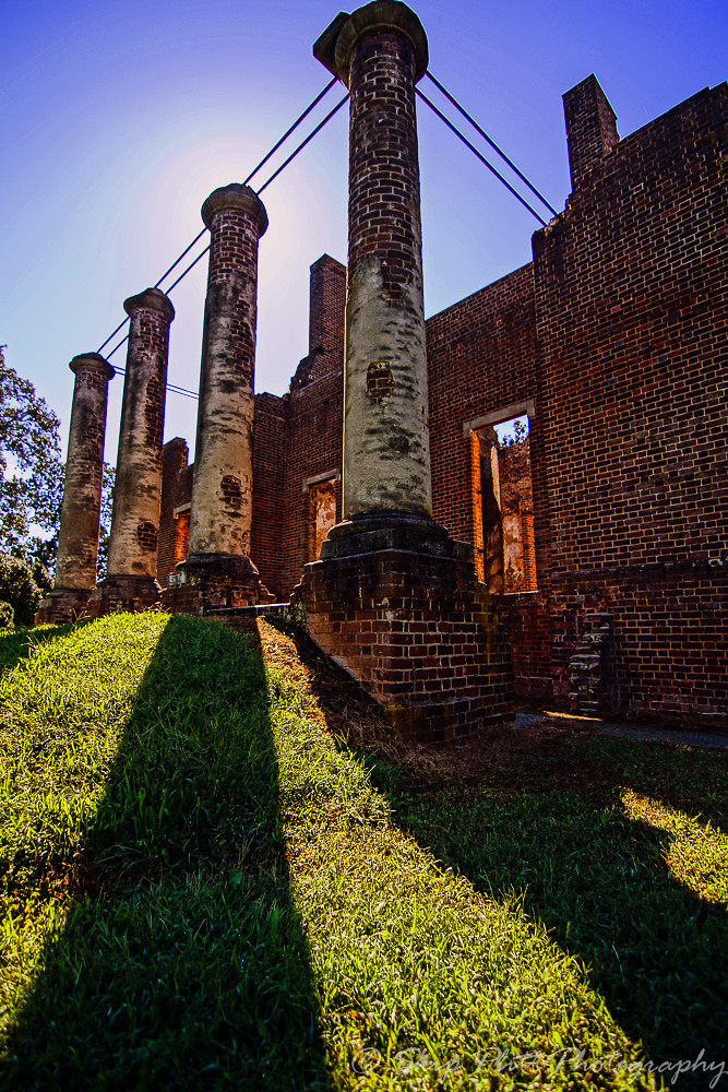
Baboursville Ruins-2

Virginia vines.

Baboursville Ruins HDR1

Breezy Field

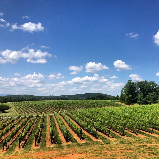
Barboursville Vineyards 09
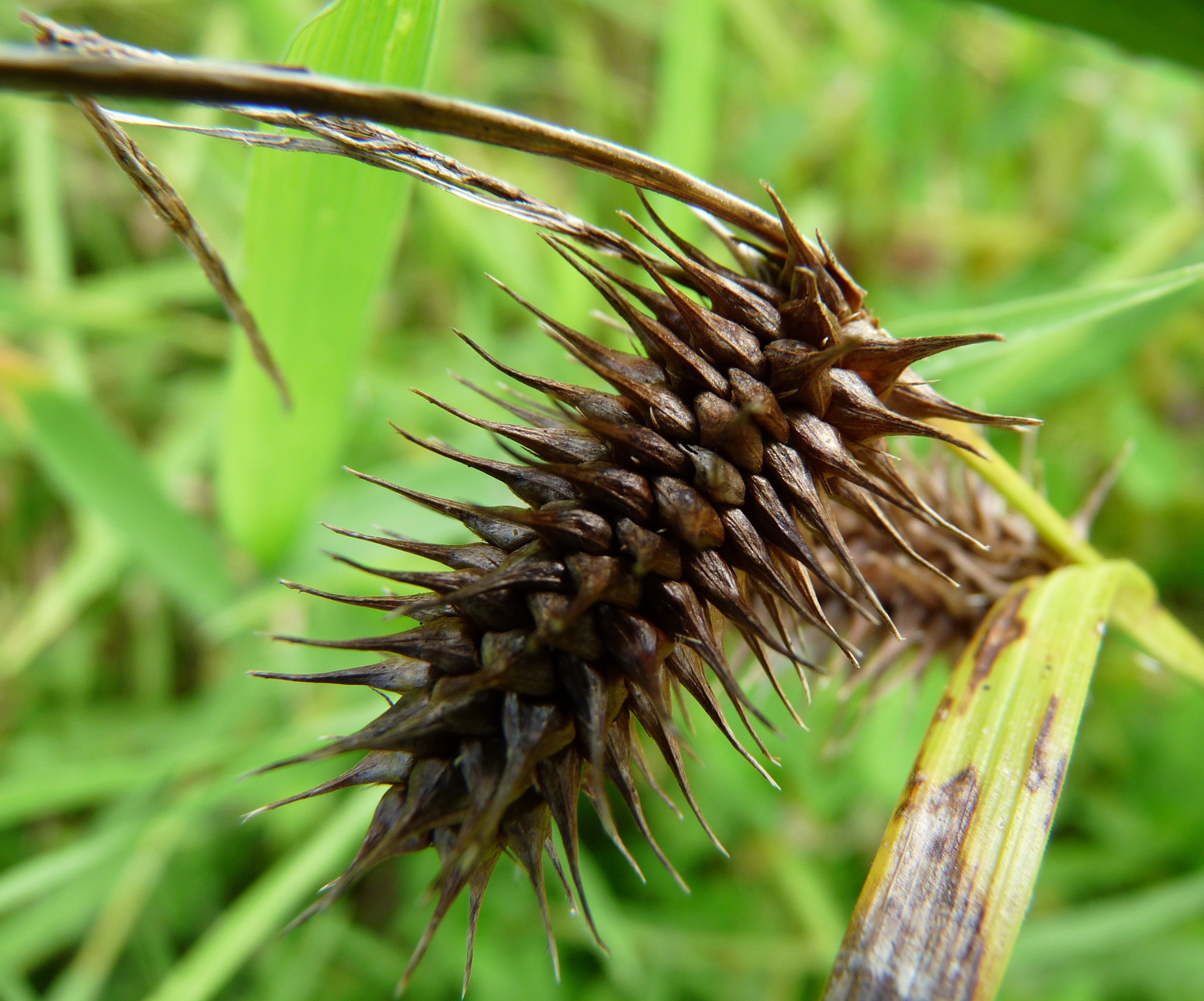
Prickly seed head
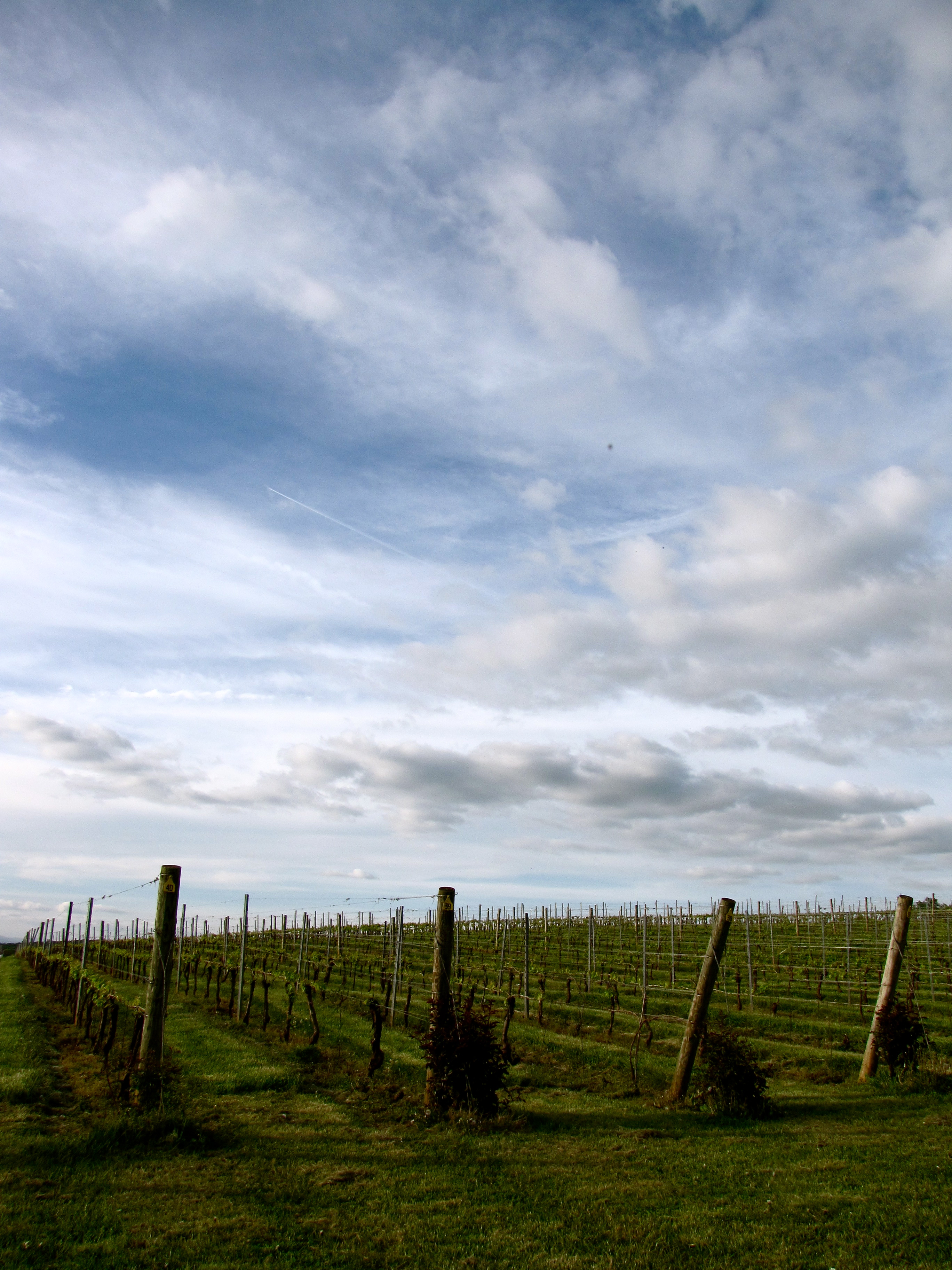
Barboursville Vineyard
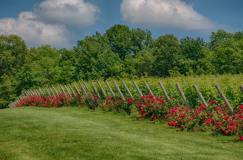
Vineyards and roses !
Beautiful day for some wine.
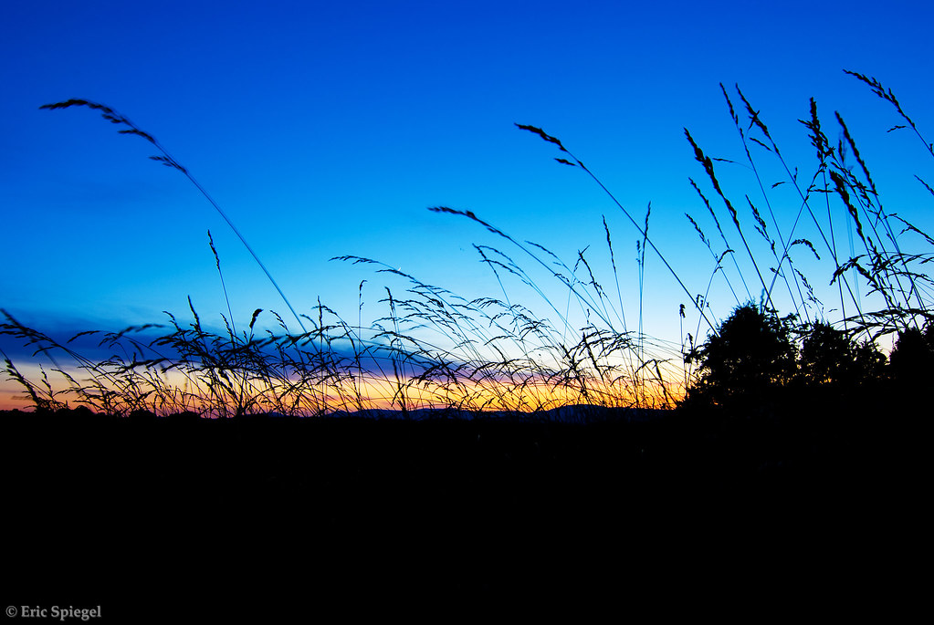
Sunset Through the Tall Grass
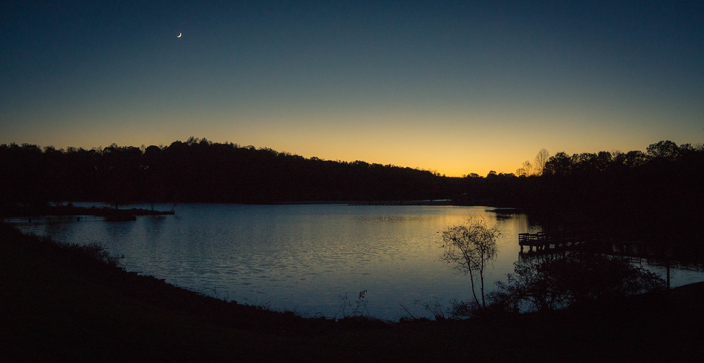
Last Light at Chris Greene Lake
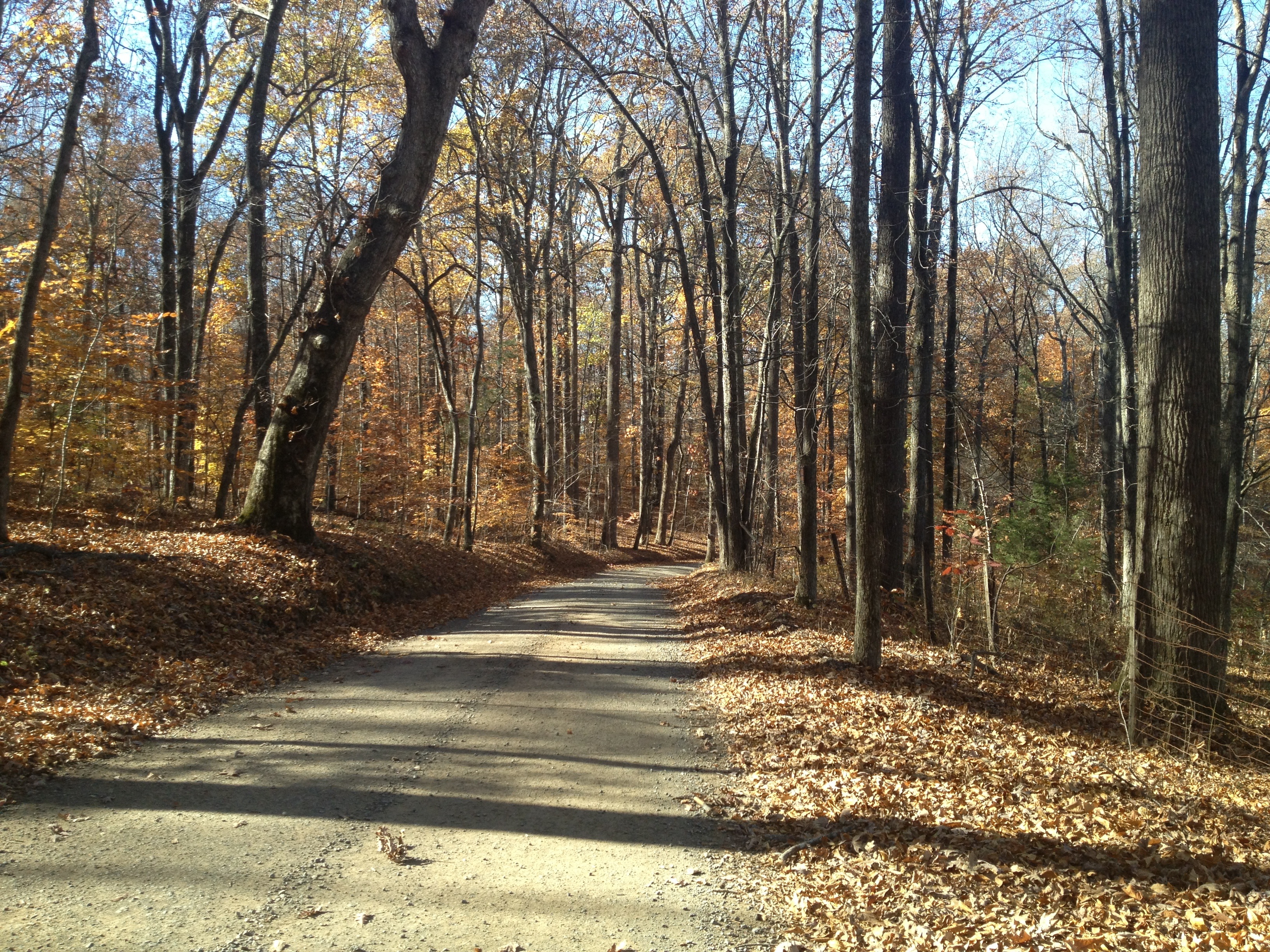
Chicken Mountain Road
Chris Greene Lake Park
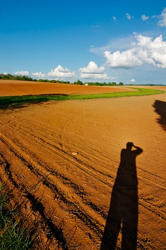
Roadside Self Portrait

It's hotter than the surface of the sun out here. Taking a little break in the shade by the lake.
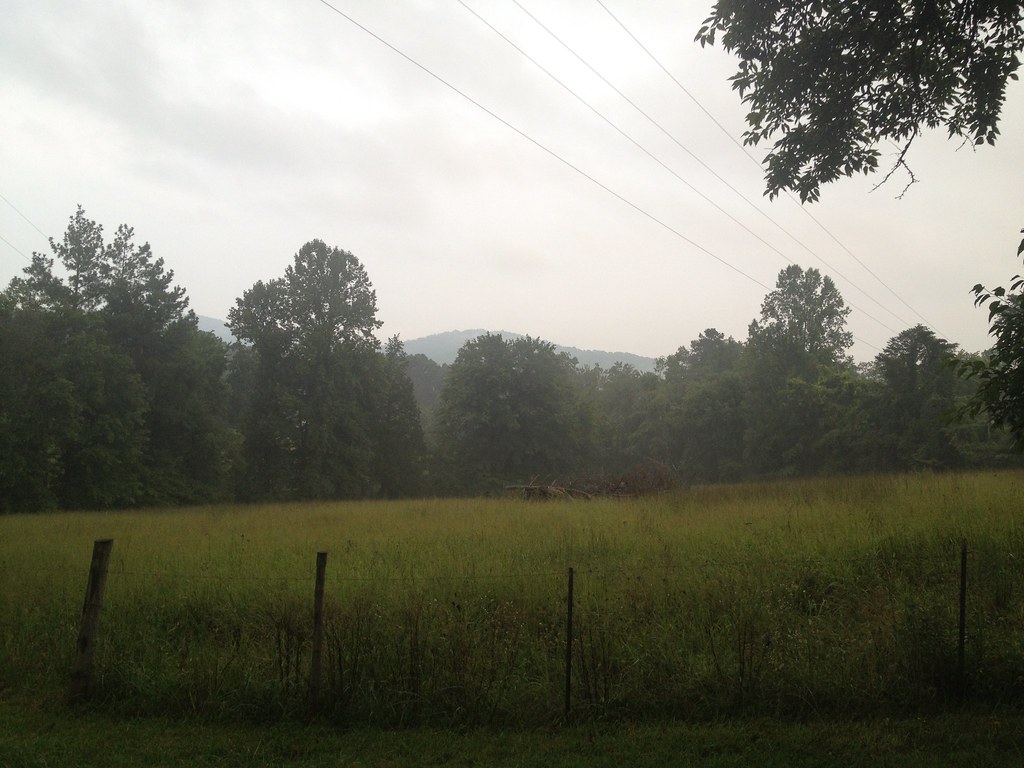
North field in the fog
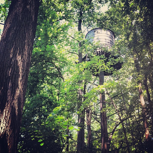
Forgotten water tower. #madison #va
Topographic Map of Constitution Hwy, Gordonsville, VA, USA
Find elevation by address:

Places near Constitution Hwy, Gordonsville, VA, USA:
Aose-virginia Soil & Septic
Barboursville
6358 Blue Run Rd
1, VA, USA
Albano Rd, Barboursville, VA, USA
16380 Hamm Farm Rd
Somerset
12504 Marsh Run Ln
6099 Ridge Rd
Blue Ridge Turnpike, Somerset, VA, USA
13180 Albano Rd
13118 Evergreen Ave
Kemper Dr, Barboursville, VA, USA
5123 Burnley Rd
Deep Woods Lane
38 Oak Terrace Dr
Ruckersville
Ruckersville
12264 Dolley Madison Rd
Hilltop Farm
Recent Searches:
- Elevation of Corso Fratelli Cairoli, 35, Macerata MC, Italy
- Elevation of Tallevast Rd, Sarasota, FL, USA
- Elevation of 4th St E, Sonoma, CA, USA
- Elevation of Black Hollow Rd, Pennsdale, PA, USA
- Elevation of Oakland Ave, Williamsport, PA, USA
- Elevation of Pedrógão Grande, Portugal
- Elevation of Klee Dr, Martinsburg, WV, USA
- Elevation of Via Roma, Pieranica CR, Italy
- Elevation of Tavkvetili Mountain, Georgia
- Elevation of Hartfords Bluff Cir, Mt Pleasant, SC, USA