Elevation of Conquerall Mills, NS B0R, Canada
Location: Canada > Nova Scotia > Lunenburg County > Lunenburg >
Longitude: -64.525872
Latitude: 44.308092
Elevation: 56m / 184feet
Barometric Pressure: 101KPa
Elevation Map:
Satellite Map:
Related Photos:
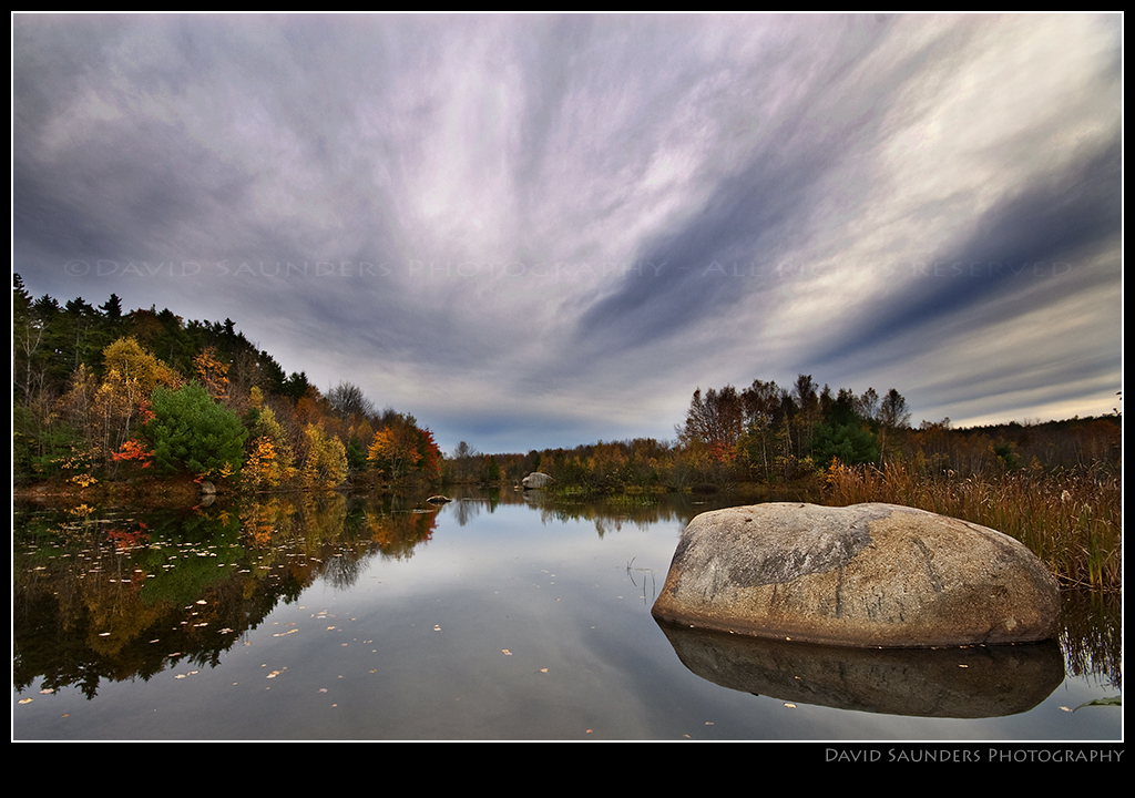
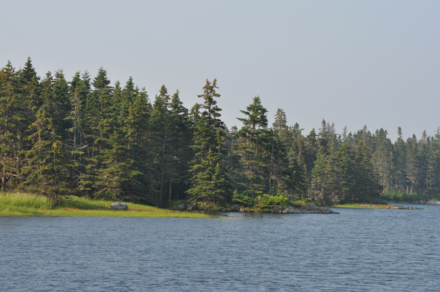
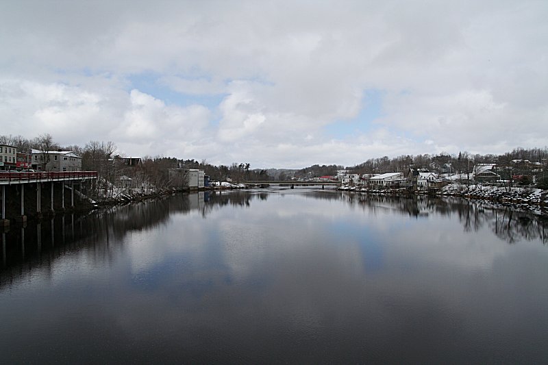
LaHave River
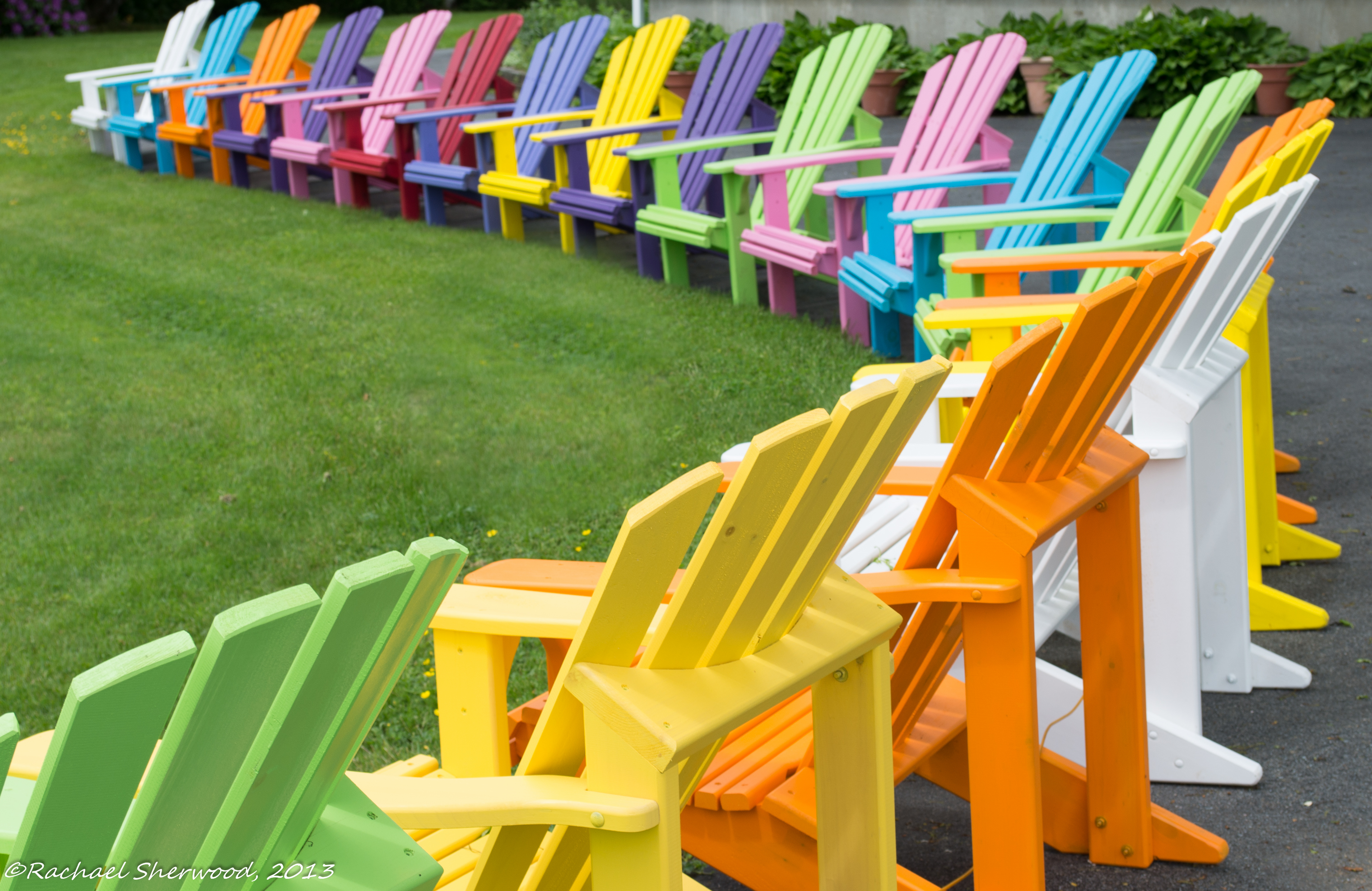
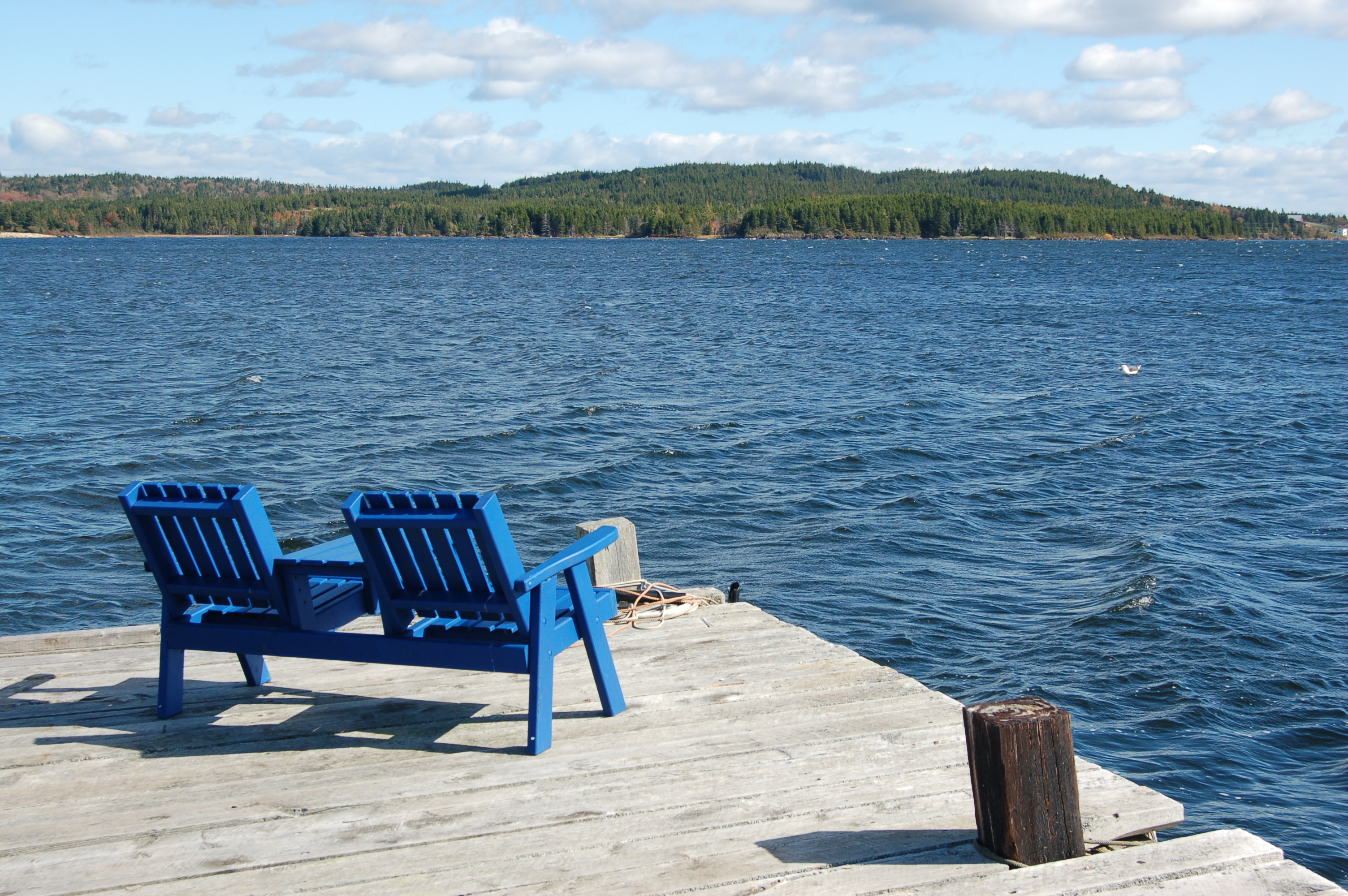
A Rainbow of Chairs
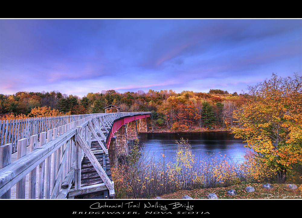
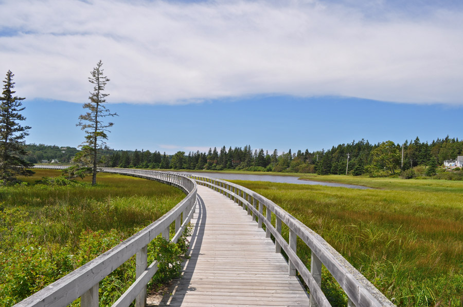
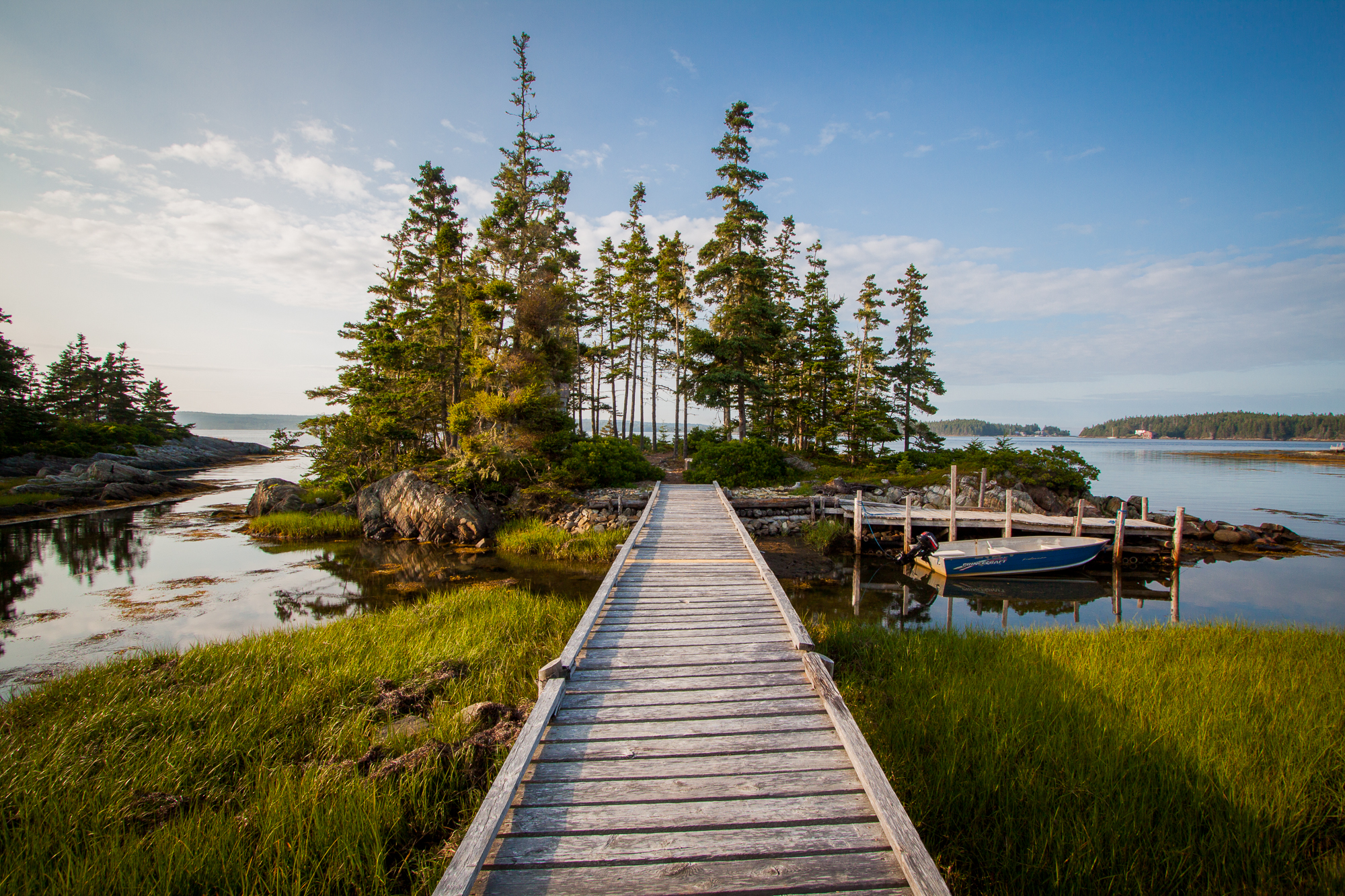
Centennial Trail Walking Bridge

Centennial Bridge II
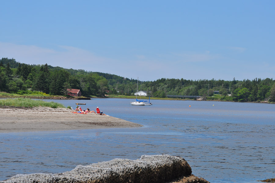
Rissers Beach
That is one nice view
Rissers Beach

B&W Challenge
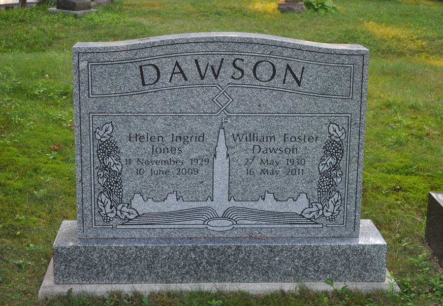
Brookside Cemetery
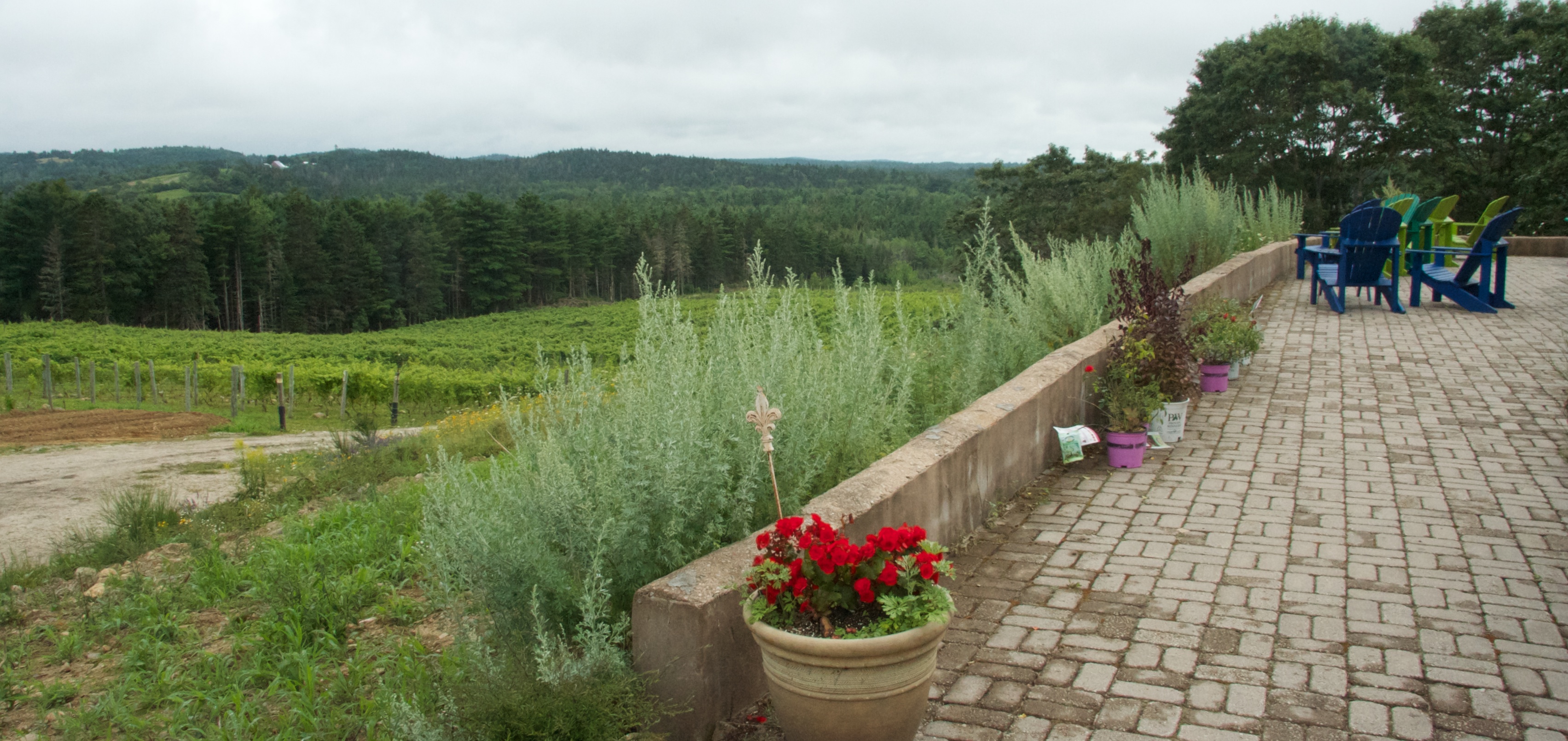
View of vineyard
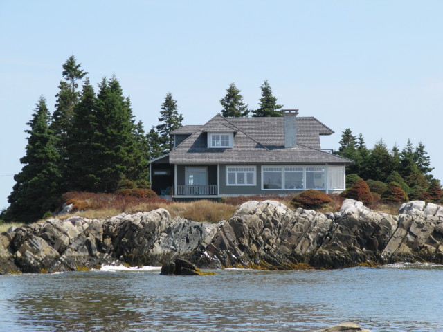
Nice house with a cool view
Rissers Beach
Rissers Beach
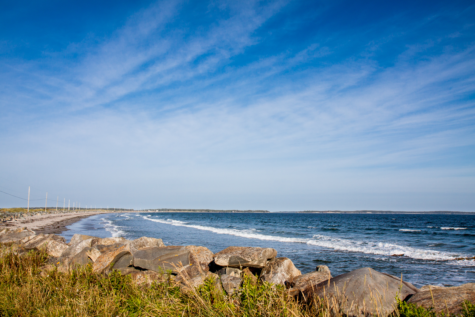
Crescent Beach
Nova Scotia - 2007-10-161
Rissers Beach
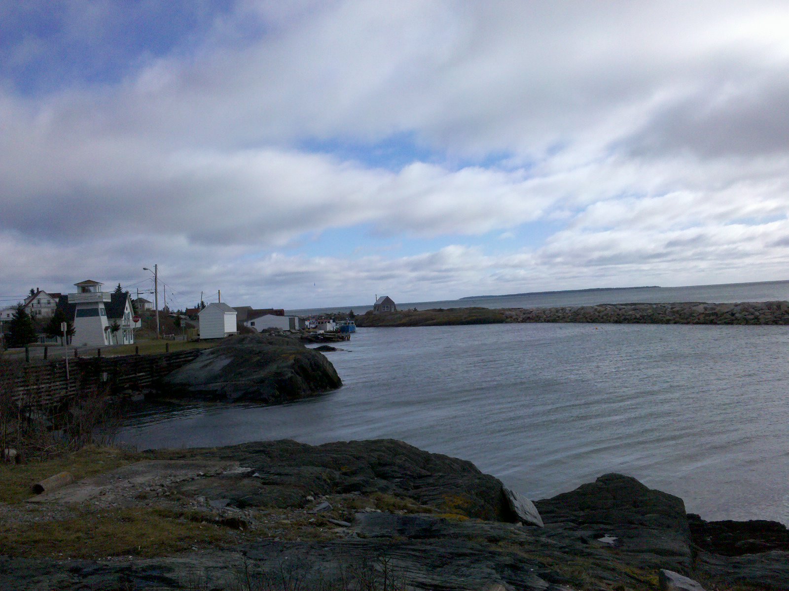
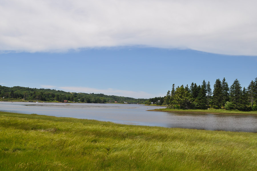
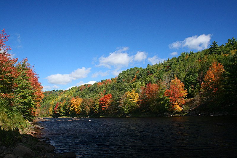
View up the LaHave River
Rissers Beach

NS - 2012-07-118
Crescent Beach
Rissers Beach

graveyard orton

Lunenburg 2-20120714-00175
Backyard on Bush Island

Thanks!

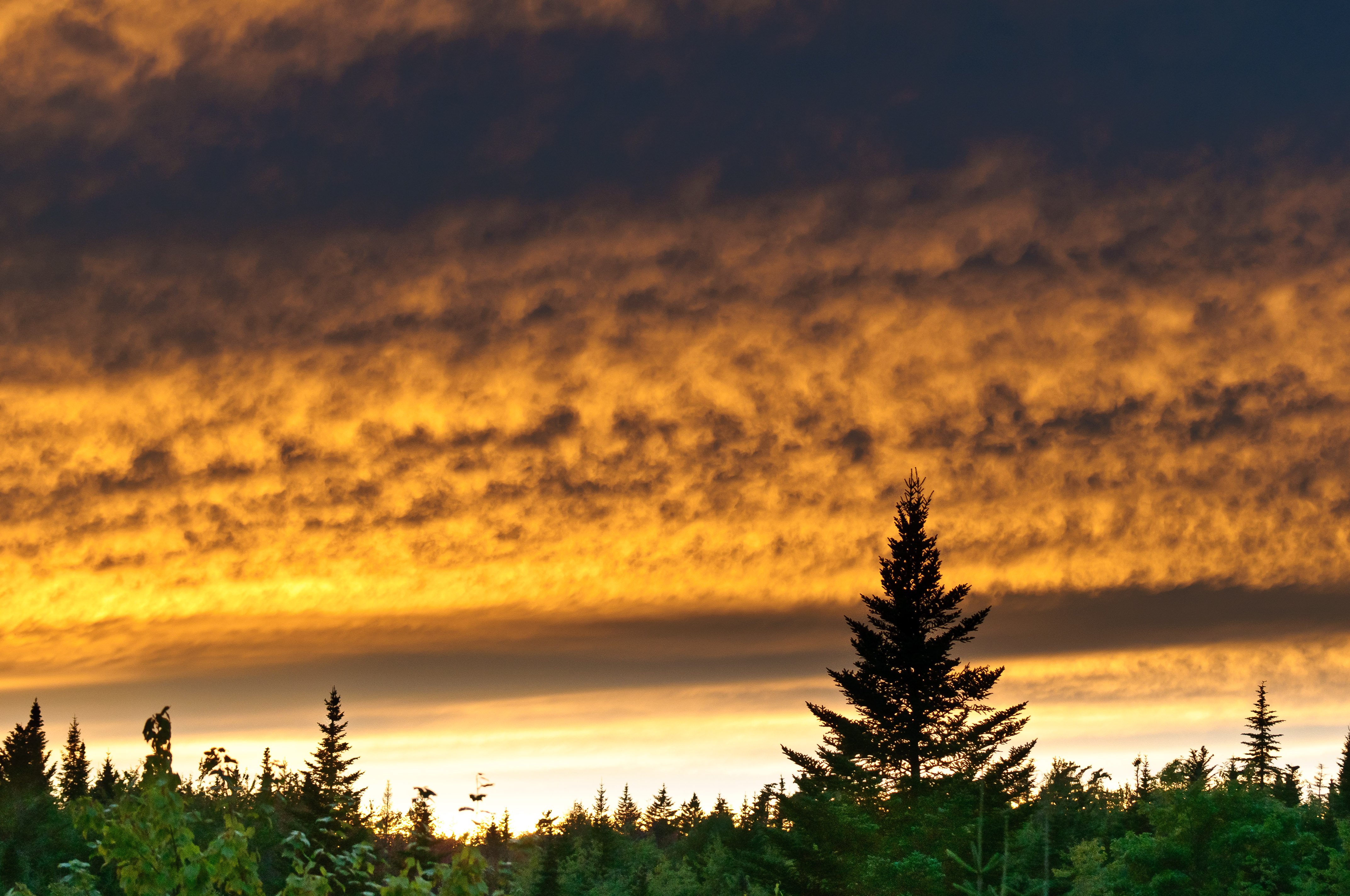
Milky Way at Rissers Beach
Crescent Beach

Cape Rouge Sinking
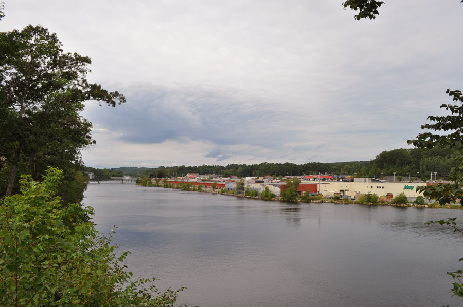
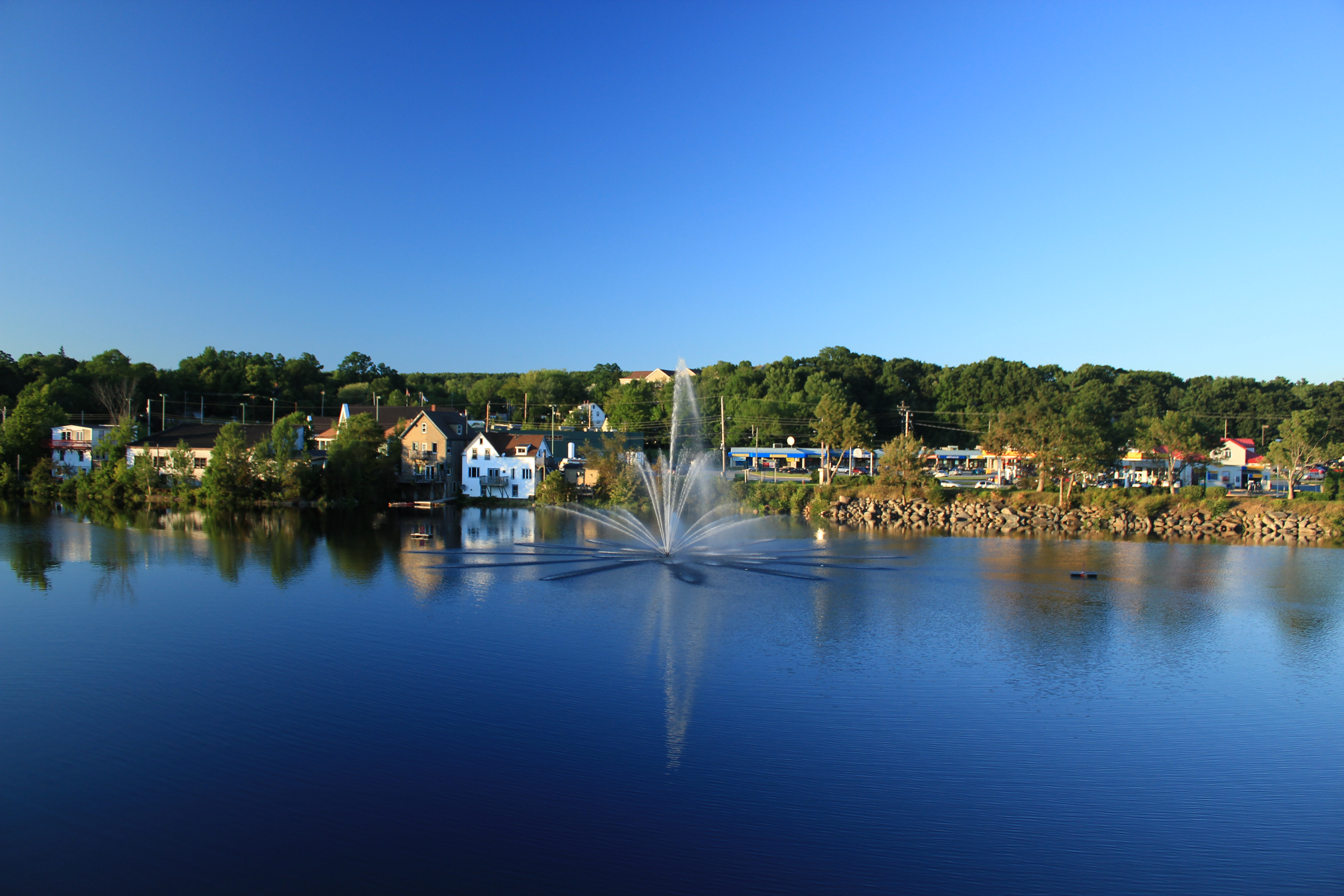
Downtown Bridgewater
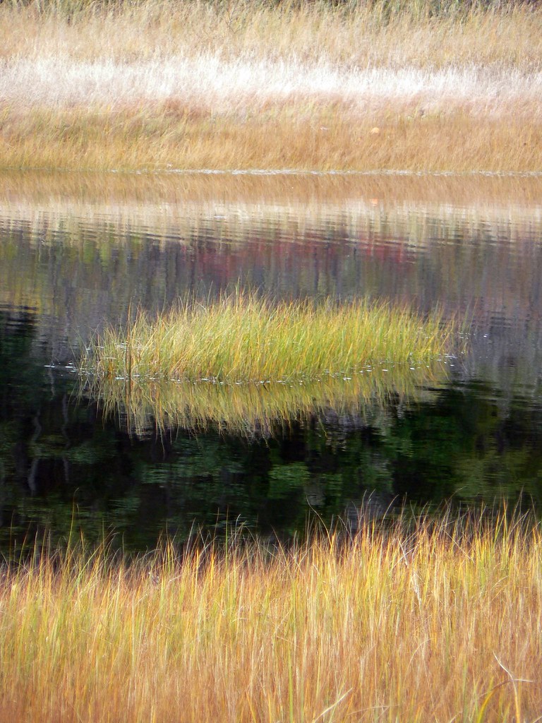
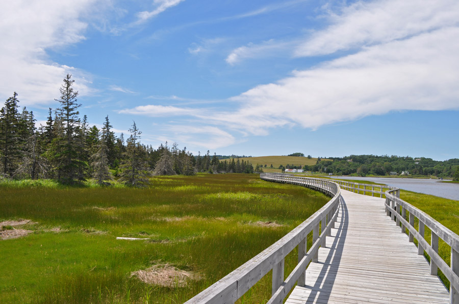
Salt Water Marsh at Rissers Beach Provincial Park
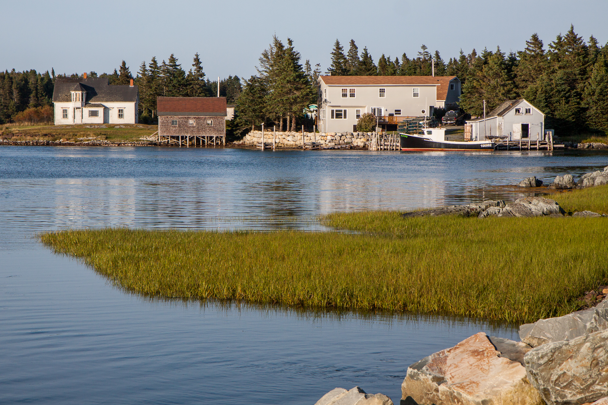
Bush Island
LaHave River

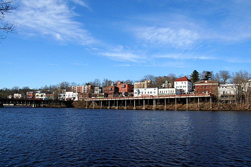
Ah, the scenic Bridgewater.
LaHave River - North
LaHave River
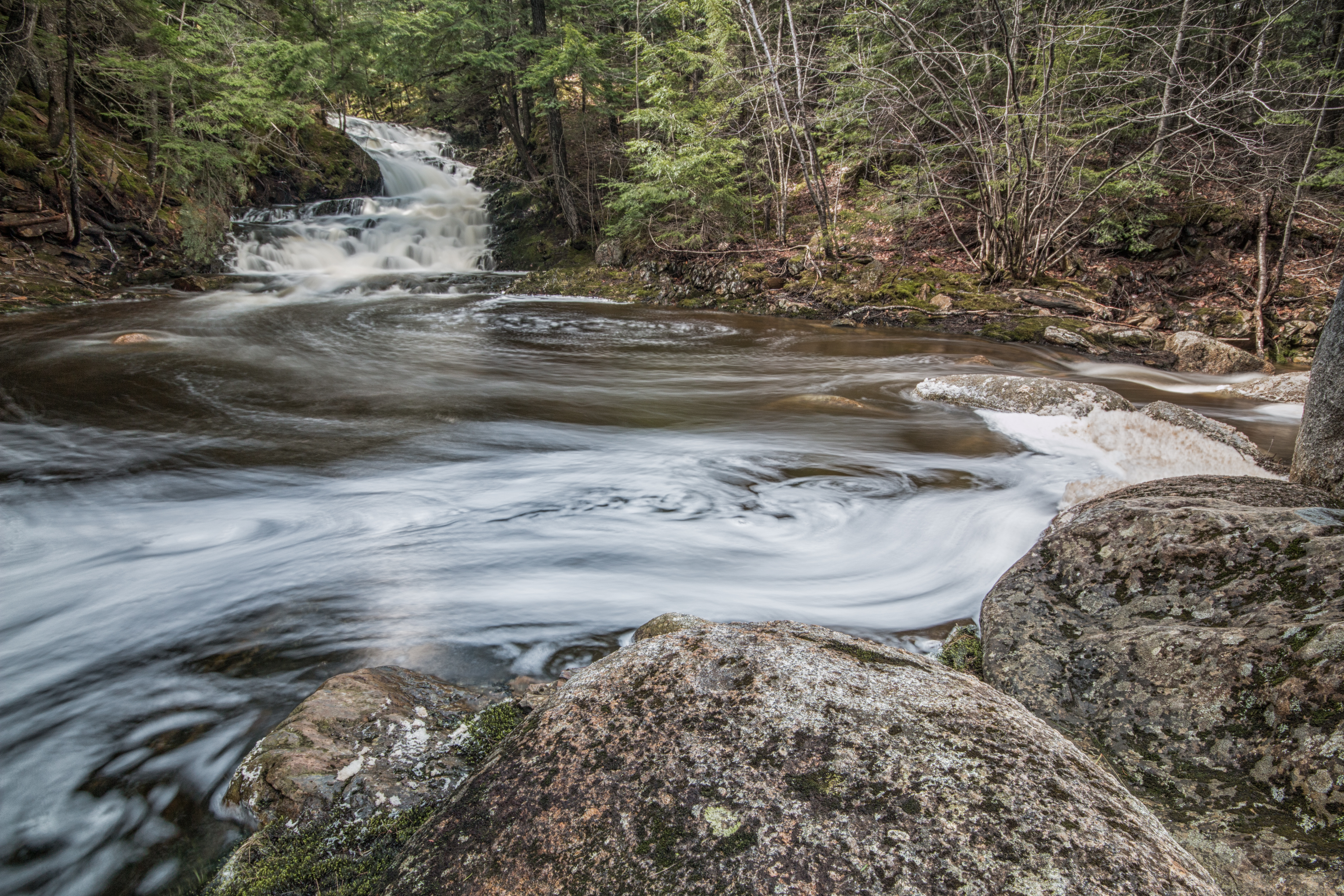
Smith Rd. Falls

Brook, Lewie Lake
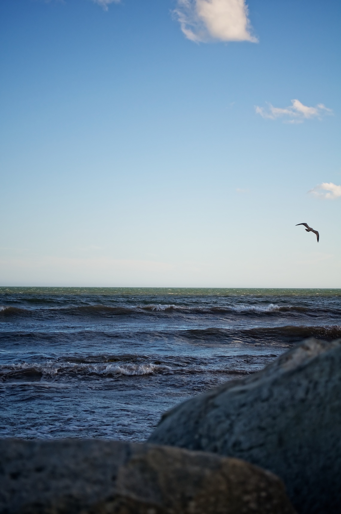
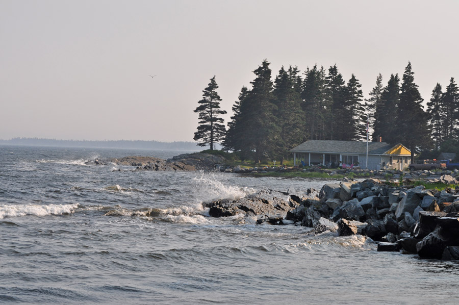
Sea & Gull
_DSC5398.jpg
Topographic Map of Conquerall Mills, NS B0R, Canada
Find elevation by address:

Places in Conquerall Mills, NS B0R, Canada:
Places near Conquerall Mills, NS B0R, Canada:
34 Charles Bolivar Rd
New Cumberland Rd, Conquerall Mills, NS B4V 6C5, Canada
Bridgewater
14 Scotia St
400 King St
NS-, Conquerall Bank, NS B4V 0H2, Canada
26 Murray Dr
83 Haven Dr
B4v 2t1
B4v 3t3
Conquerall Bank
Pleasantville
39 Burns Hill Rd
Upper Lahave
Newcombville
Grimms Settlement
Grimm Rd, Grimms Settlement, NS B4V 0Z9, Canada
Lunenburg
414 Bruhm Rd
Midville Branch
Recent Searches:
- Elevation of Corso Fratelli Cairoli, 35, Macerata MC, Italy
- Elevation of Tallevast Rd, Sarasota, FL, USA
- Elevation of 4th St E, Sonoma, CA, USA
- Elevation of Black Hollow Rd, Pennsdale, PA, USA
- Elevation of Oakland Ave, Williamsport, PA, USA
- Elevation of Pedrógão Grande, Portugal
- Elevation of Klee Dr, Martinsburg, WV, USA
- Elevation of Via Roma, Pieranica CR, Italy
- Elevation of Tavkvetili Mountain, Georgia
- Elevation of Hartfords Bluff Cir, Mt Pleasant, SC, USA