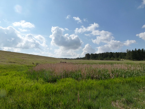
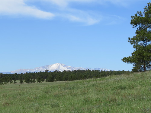
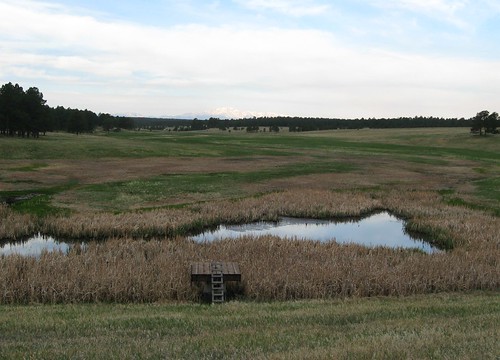
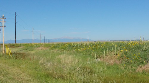
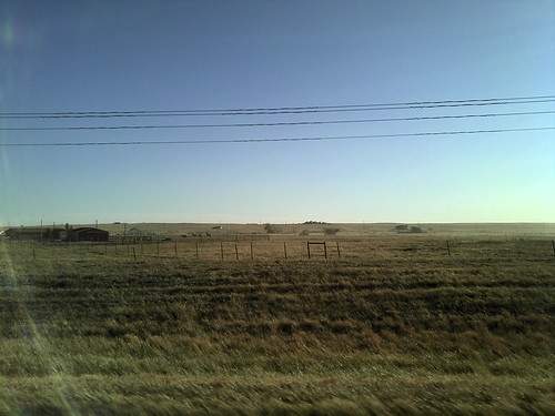
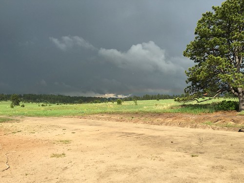
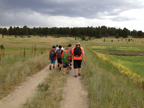
Elevation of Connestoga Court, Connestoga Ct, Colorado, USA
Location: United States > Colorado > El Paso County > Peyton >
Longitude: -104.49175
Latitude: 39.0992874
Elevation: 2156m / 7073feet
Barometric Pressure: 78KPa
Related Photos:
Topographic Map of Connestoga Court, Connestoga Ct, Colorado, USA
Find elevation by address:

Places near Connestoga Court, Connestoga Ct, Colorado, USA:
19960 Birdseye View
17843 Pinon Park Rd
17775 Lodgepole Rd
18905 Ackerley Heights
19220 Pinon Park Rd
19405 Birdseye View
Sweet Road
18840 Sweet Rd
Edgewood Drive
Homestead Ranch Park
18982 Edgewood Dr
11535 Fulda Ln
16110 Reata Rd
19550 Horseshoe Ct
14630 Tiboria Loop
Peyton
19530 Cheryl Grove
Eastonville
21623 Comanche Creek Dr
Log Rd & Murphy Rd
Recent Searches:
- Elevation of Corso Fratelli Cairoli, 35, Macerata MC, Italy
- Elevation of Tallevast Rd, Sarasota, FL, USA
- Elevation of 4th St E, Sonoma, CA, USA
- Elevation of Black Hollow Rd, Pennsdale, PA, USA
- Elevation of Oakland Ave, Williamsport, PA, USA
- Elevation of Pedrógão Grande, Portugal
- Elevation of Klee Dr, Martinsburg, WV, USA
- Elevation of Via Roma, Pieranica CR, Italy
- Elevation of Tavkvetili Mountain, Georgia
- Elevation of Hartfords Bluff Cir, Mt Pleasant, SC, USA
