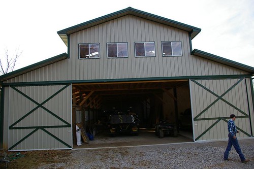
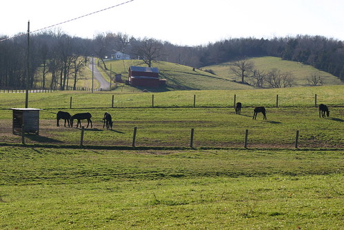
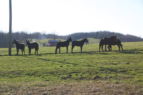
Elevation of Connersville Pike, Sadieville, KY, USA
Location: United States > Kentucky > Harrison County > Sadieville >
Longitude: -84.413195
Latitude: 38.3797299
Elevation: 254m / 833feet
Barometric Pressure: 98KPa
Related Photos:
Topographic Map of Connersville Pike, Sadieville, KY, USA
Find elevation by address:

Places near Connersville Pike, Sadieville, KY, USA:
2405 Hicks Pike
Whitson Road
2270 Whitson Rd
Williamstown Rd, Berry, KY, USA
KY-, Cynthiana, KY, USA
22 Burgess Smith Rd, Sadieville, KY, USA
Sadieville
Hyde Park Lane
Muddy Ford Rd, Georgetown, KY, USA
Berry
200 Technology Ct
Georgetown Rd, Paris, KY, USA
Berry, KY, USA
Industry Rd, Georgetown, KY, USA
Scott County
Delaplain Rd, Georgetown, KY, USA
142 Westwoods Dr
Agena Rd, Georgetown, KY, USA
130 Cherry Hill Dr
Russell Cave Rd, Lexington, KY, USA
Recent Searches:
- Elevation of Corso Fratelli Cairoli, 35, Macerata MC, Italy
- Elevation of Tallevast Rd, Sarasota, FL, USA
- Elevation of 4th St E, Sonoma, CA, USA
- Elevation of Black Hollow Rd, Pennsdale, PA, USA
- Elevation of Oakland Ave, Williamsport, PA, USA
- Elevation of Pedrógão Grande, Portugal
- Elevation of Klee Dr, Martinsburg, WV, USA
- Elevation of Via Roma, Pieranica CR, Italy
- Elevation of Tavkvetili Mountain, Georgia
- Elevation of Hartfords Bluff Cir, Mt Pleasant, SC, USA


