Elevation of Conifer Lane, Conifer Ln, Ormond Beach, FL, USA
Location: United States > Florida > Flagler County > Ormond Beach > Plantation Pines >
Longitude: -81.2318265
Latitude: 29.233123
Elevation: 10m / 33feet
Barometric Pressure: 0KPa
Related Photos:

Not a bad view for dinner with the family.

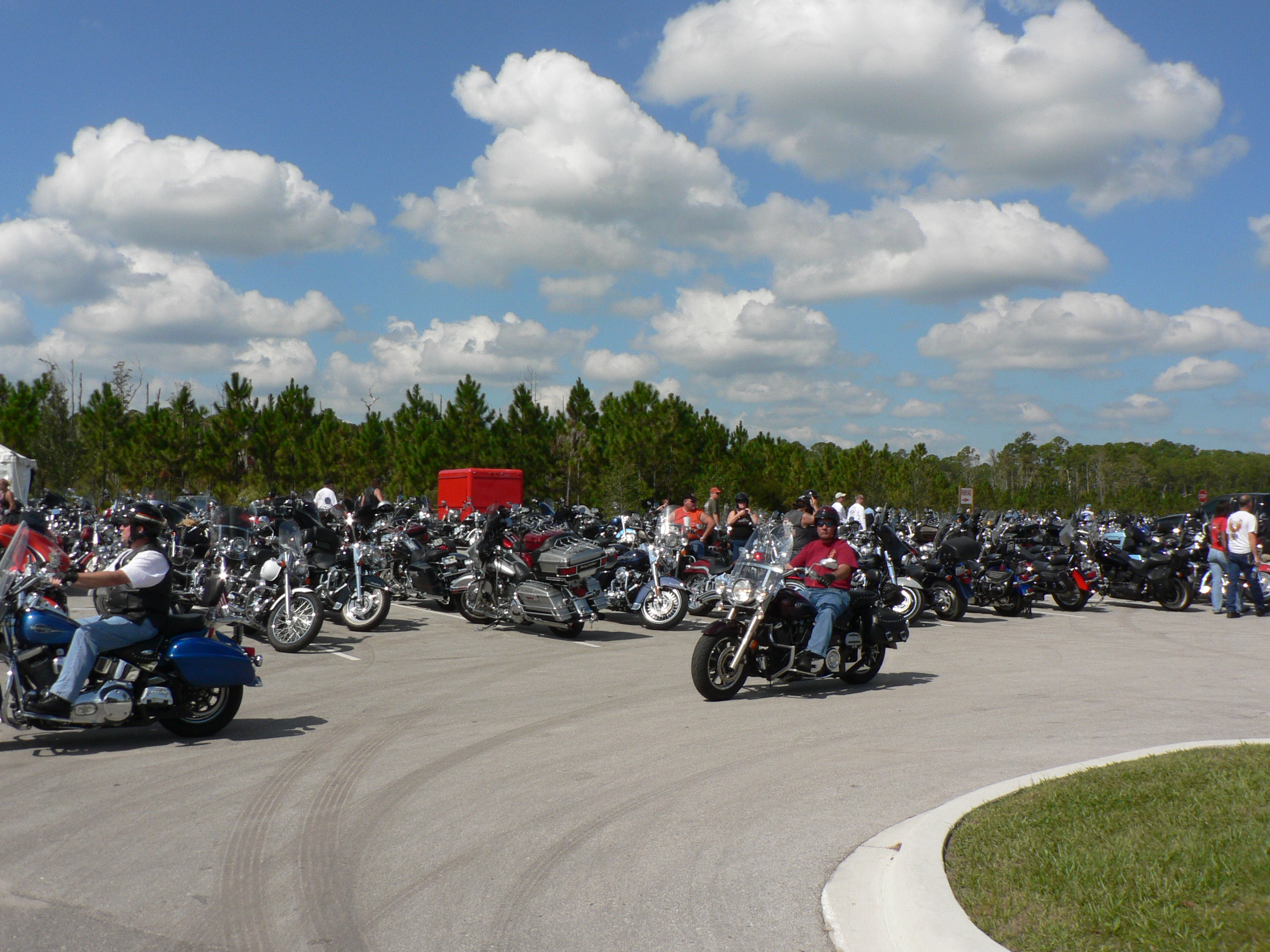
Thunders Cycles

Three Tickets To Paradise

Steel And Thunder

Smiling Faces

Trotta's Thunder
Bird's eye view
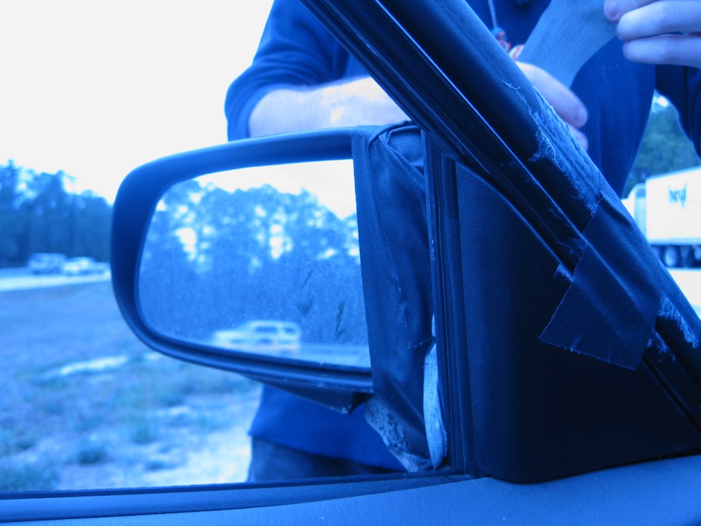
80:365 - "that's a ghetto fix."
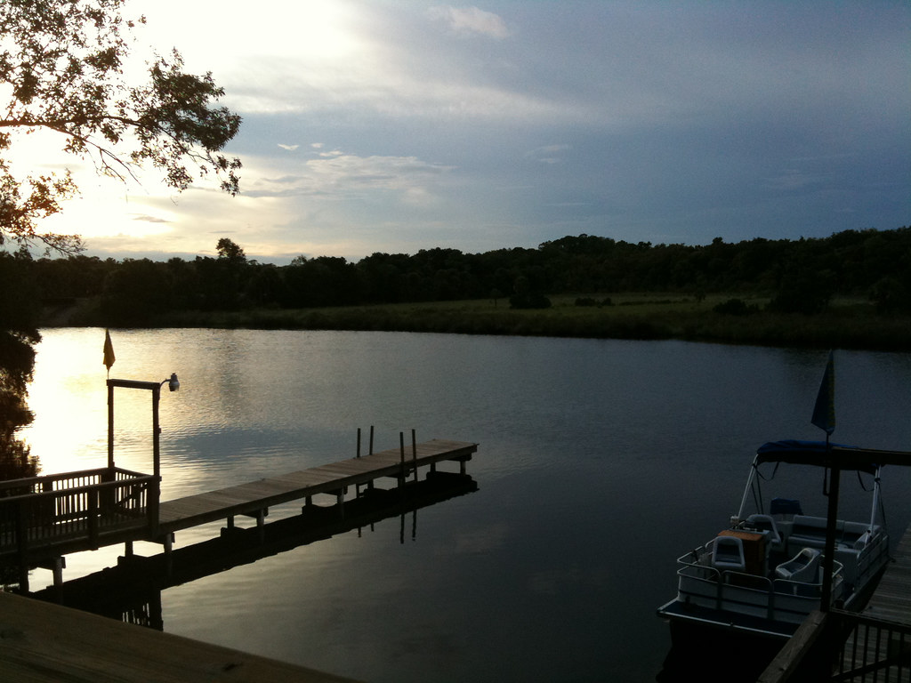
Beautiful dinner view
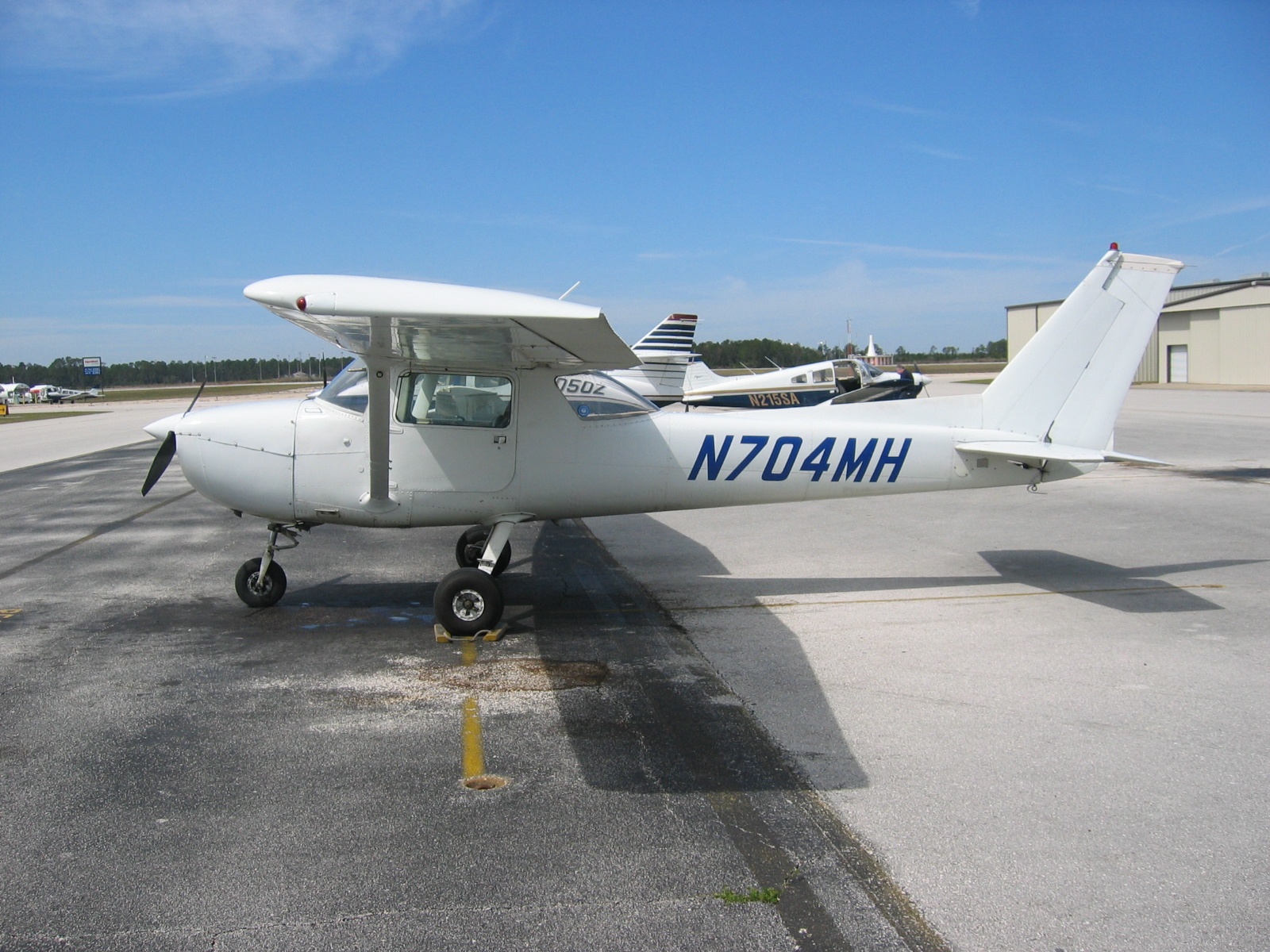
Cessna 150 'N704MH'

View of pits from victory lane

Daytona Beach Hotel Lobby
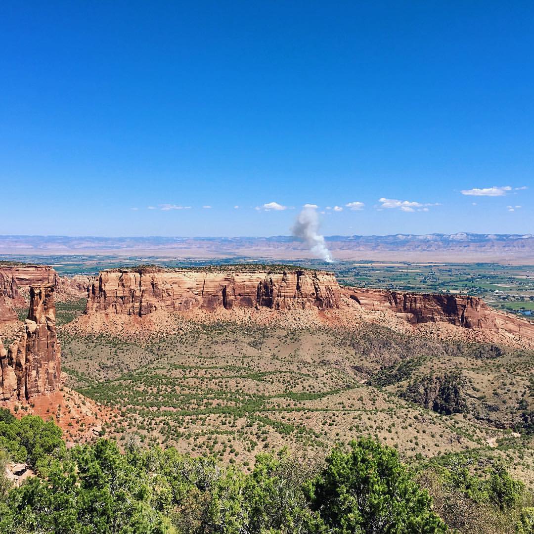
Monument Canyon view #colorado
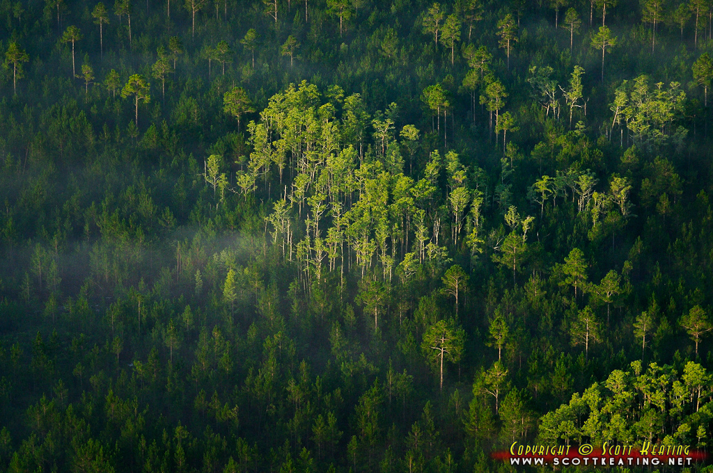
Forest west of Ormond Beach
Long day early night

Trailerpark Lawn
Day 57

Trailerpark Lawn

Trailerpark Lawn

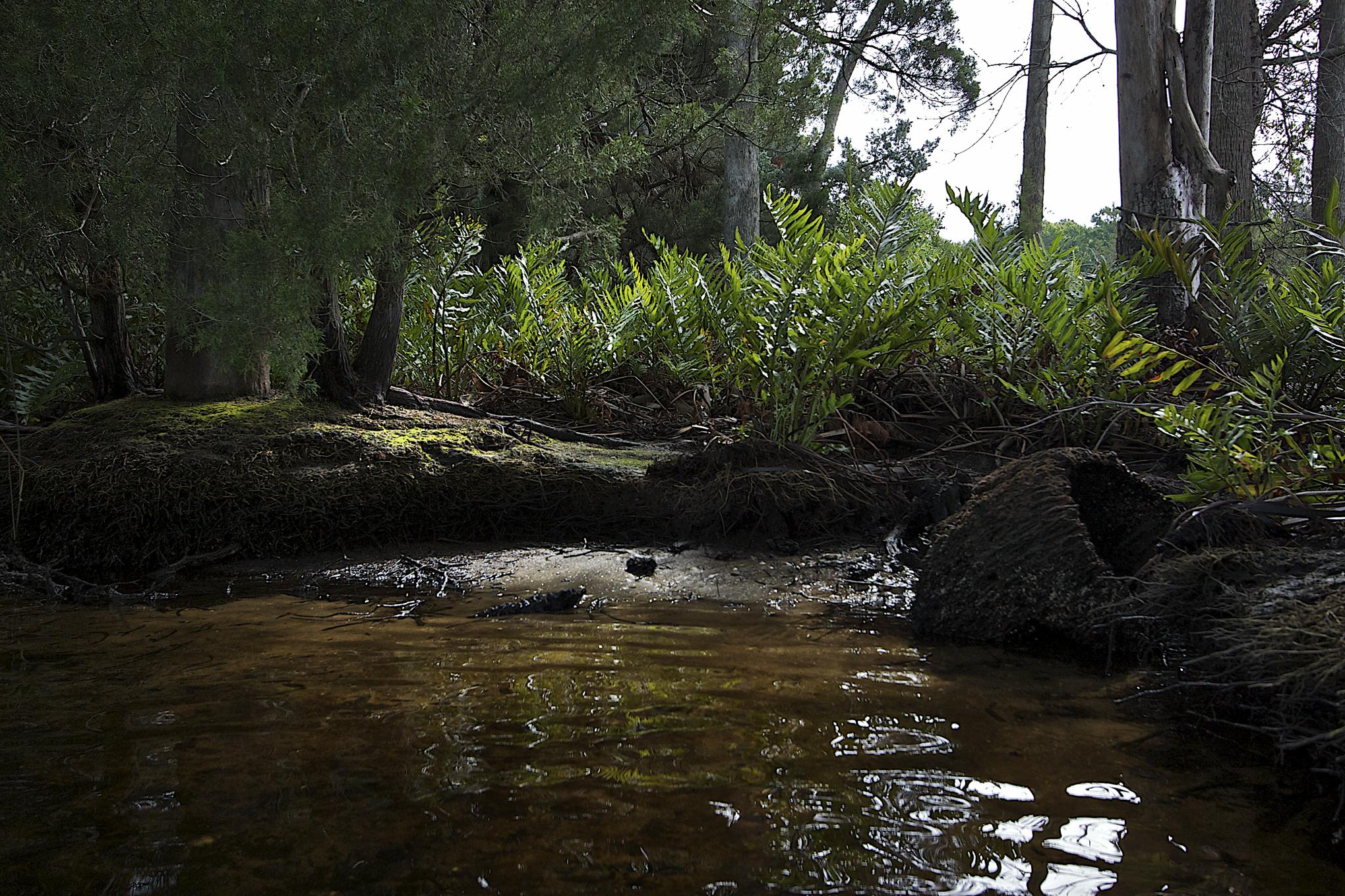
Tiger Bay State Forest
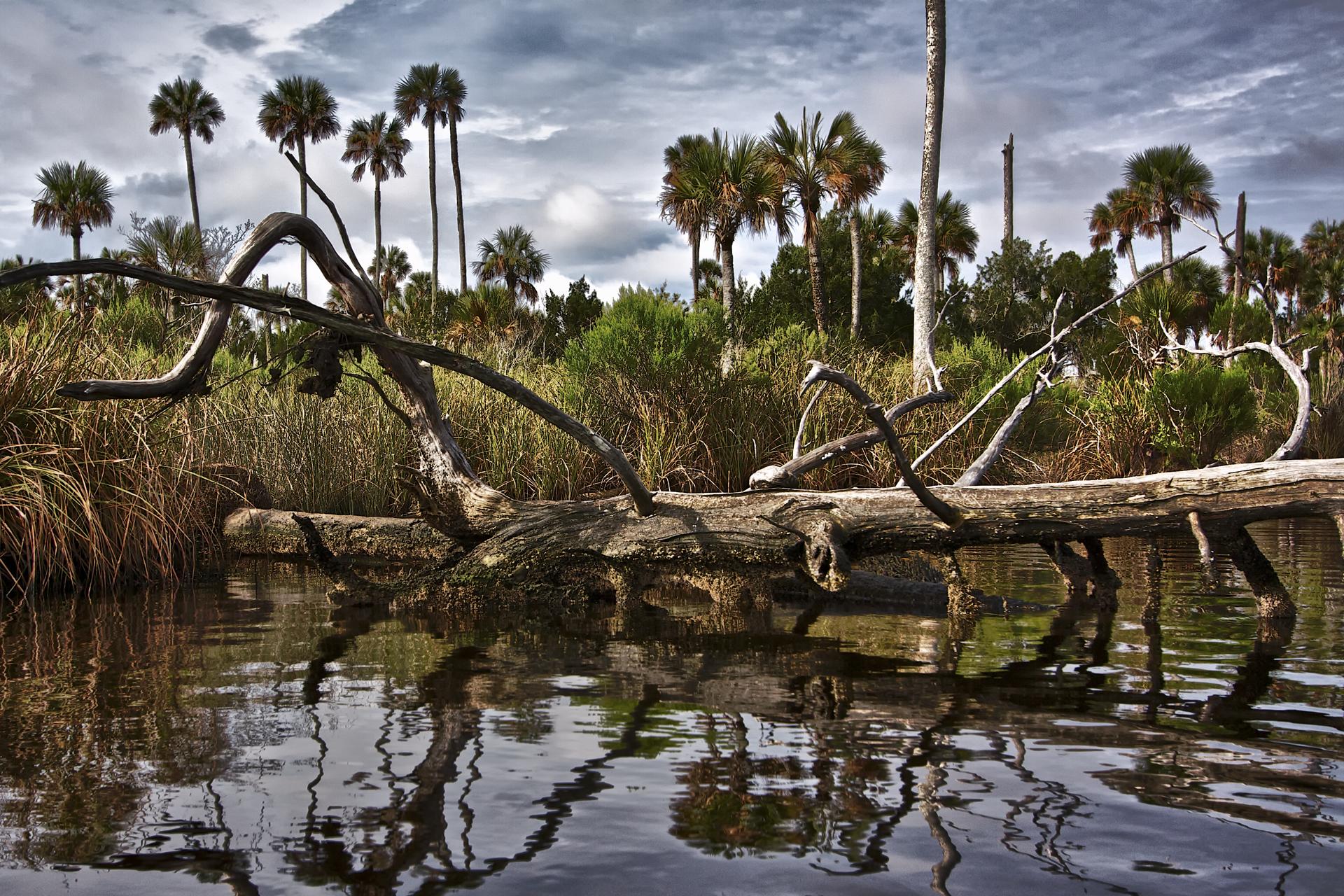
Banks of the Tomoka River
Day 54

Tiger Bay State Forest
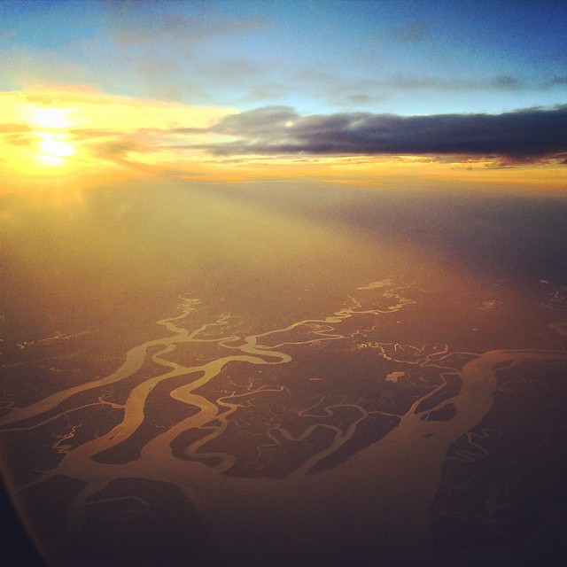
Gliding over wetlands and barrier islands on a sunkist evening before landing in Jacksonville. A welcome respite from the city and room to breathe in the ocean air.
Tomoka River Coontie Island
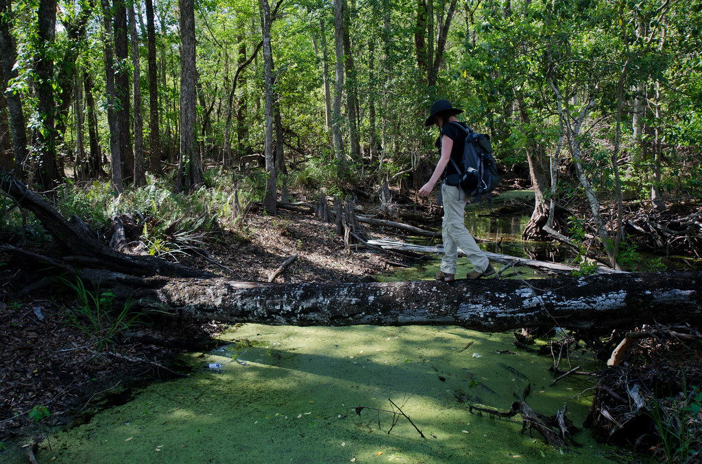
Creek Crossing
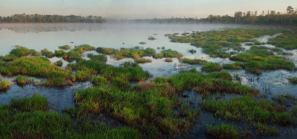
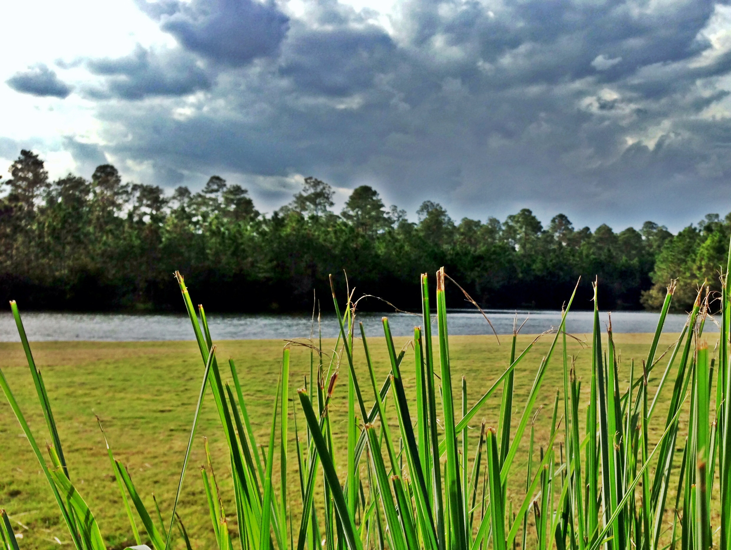
Indian Lake
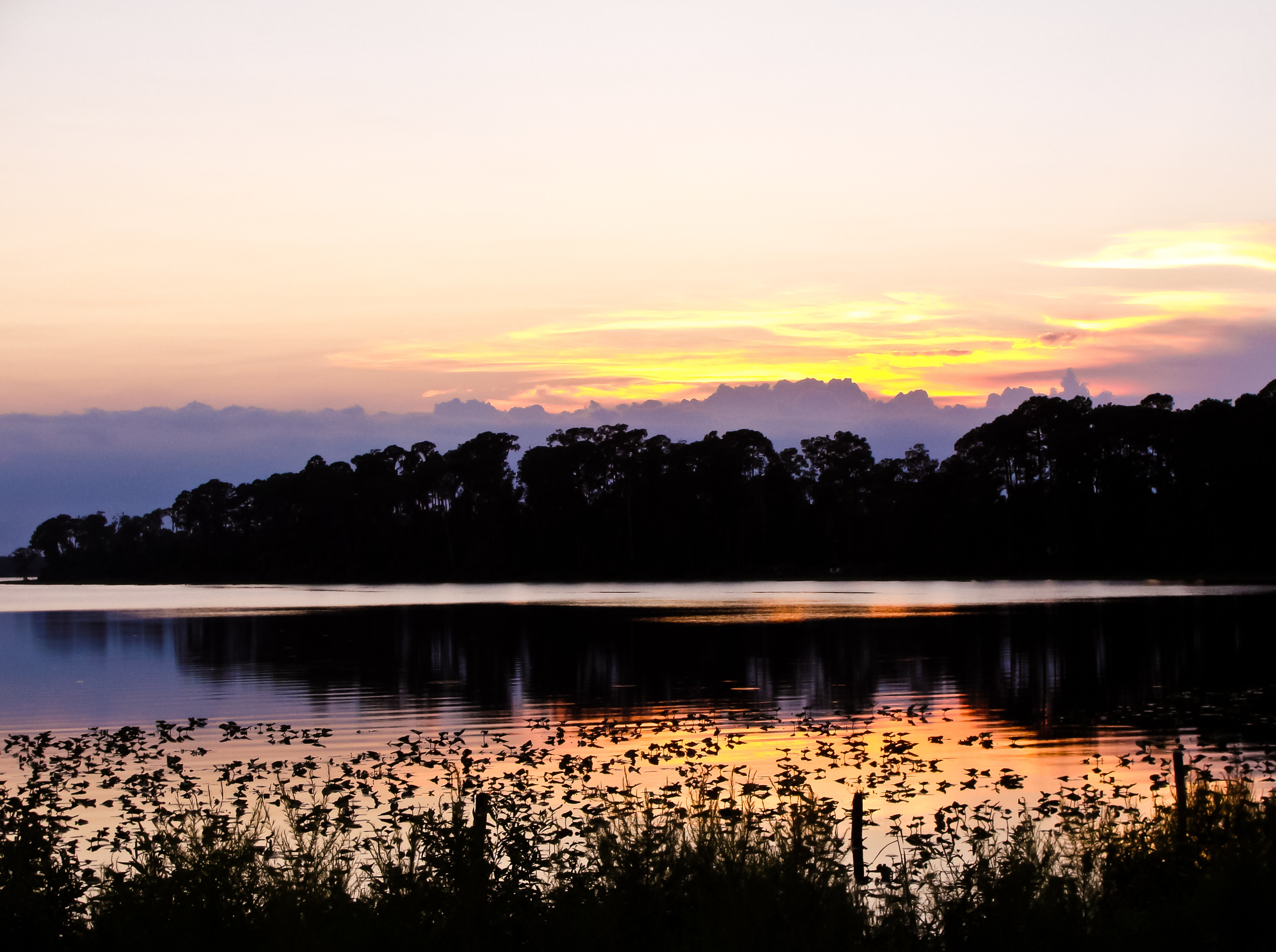
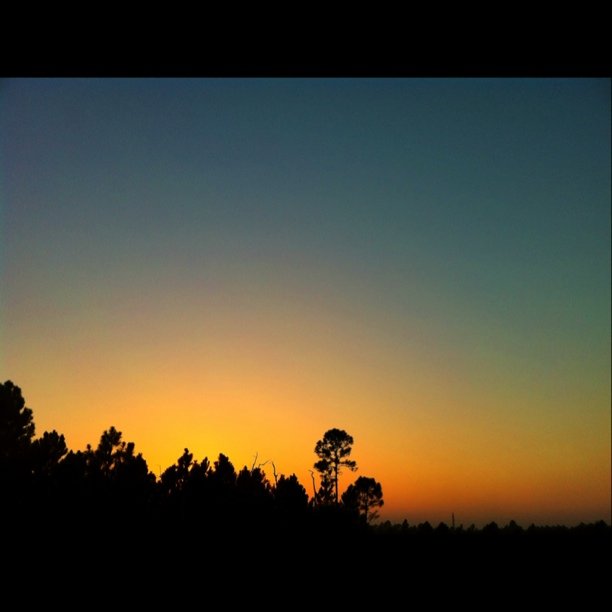
Painted sunset

LPGA Blvd. sign near I-95
Out in the Country
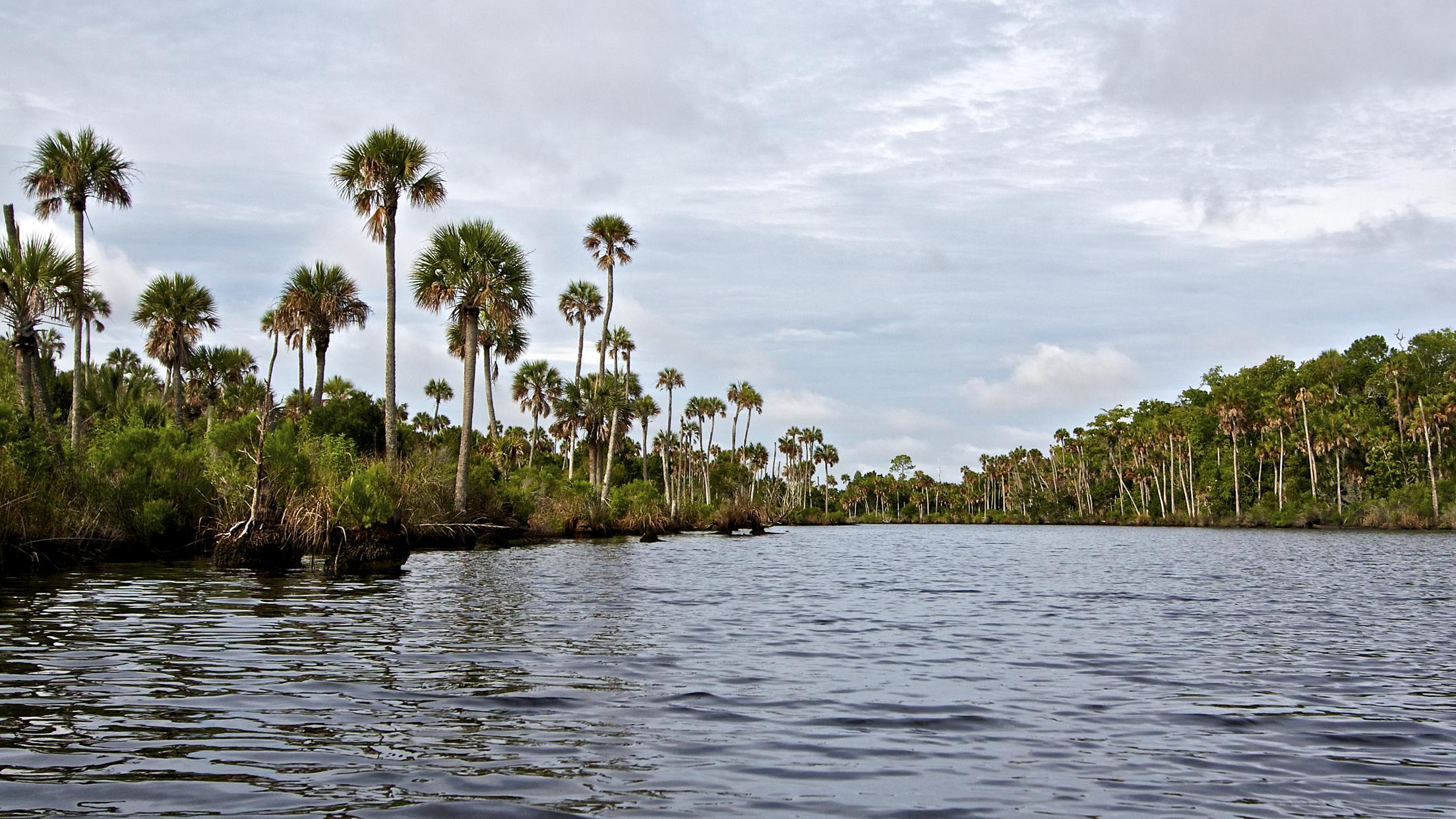
Tomoka River

Sunset from Daytona Beach

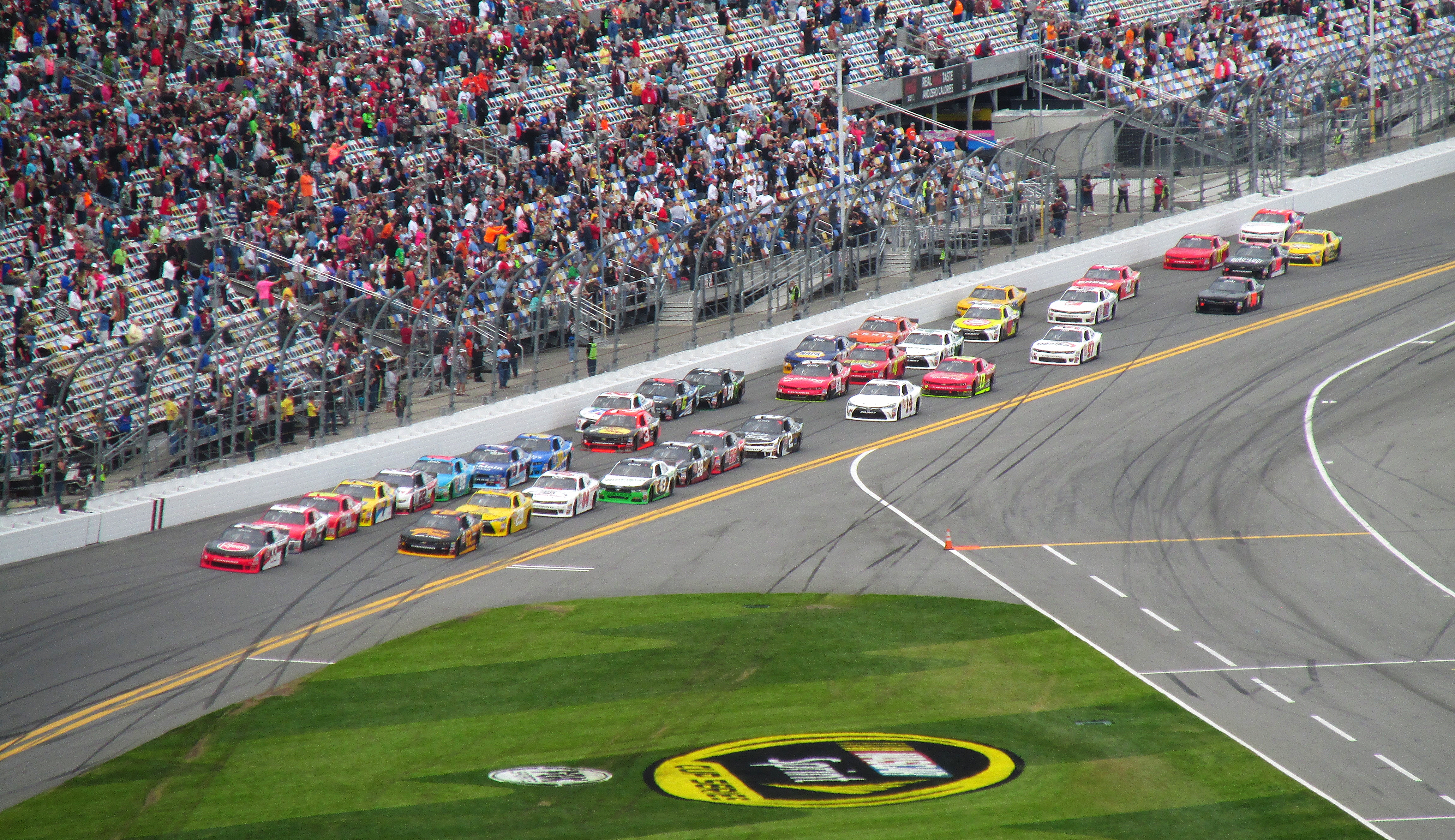
Daytona 200
P1140197.JPG
Topographic Map of Conifer Lane, Conifer Ln, Ormond Beach, FL, USA
Find elevation by address:

Places near Conifer Lane, Conifer Ln, Ormond Beach, FL, USA:
3658 Plantation Dr
3689 Tamarack Dr
Plantation Pines
3601 Fl-40
3749 Juniper Ln
3789 Juniper Ln
3750 Balsam Ct
Relay Road
6105 Fl-11
1810 Lake Disston Dr
1850 Lake Disston Dr
Co Rd, Bunnell, FL, USA
860 Buckles Rd
1165 Buckles Rd
450 Cherokee Oak Trail
US-17, De Leon Springs, FL, USA
513 Turner Rd
448 Minshew Rd
Minshew Road
Tangerine Gardens
Recent Searches:
- Elevation of 611, Roman Road, Old Ford, Bow, London, England, E3 2RW, United Kingdom
- Elevation of 116, Beartown Road, Underhill, Chittenden County, Vermont, 05489, USA
- Elevation of Window Rock, Colfax County, New Mexico, 87714, USA
- Elevation of 4807, Rosecroft Street, Kempsville Gardens, Virginia Beach, Virginia, 23464, USA
- Elevation map of Matawinie, Quebec, Canada
- Elevation of Sainte-Émélie-de-l'Énergie, Matawinie, Quebec, Canada
- Elevation of Rue du Pont, Sainte-Émélie-de-l'Énergie, Matawinie, Quebec, J0K2K0, Canada
- Elevation of 8, Rue de Bécancour, Blainville, Thérèse-De Blainville, Quebec, J7B1N2, Canada
- Elevation of Wilmot Court North, 163, University Avenue West, Northdale, Waterloo, Region of Waterloo, Ontario, N2L6B6, Canada
- Elevation map of Panamá Province, Panama
- Elevation of Balboa, Panamá Province, Panama
- Elevation of San Miguel, Balboa, Panamá Province, Panama
- Elevation of Isla Gibraleón, San Miguel, Balboa, Panamá Province, Panama
- Elevation of 4655, Krischke Road, Schulenburg, Fayette County, Texas, 78956, USA
- Elevation of Carnegie Avenue, Downtown Cleveland, Cleveland, Cuyahoga County, Ohio, 44115, USA
- Elevation of Walhonding, Coshocton County, Ohio, USA
- Elevation of Clifton Down, Clifton, Bristol, City of Bristol, England, BS8 3HU, United Kingdom
- Elevation map of Auvergne-Rhône-Alpes, France
- Elevation map of Upper Savoy, Auvergne-Rhône-Alpes, France
- Elevation of Chamonix-Mont-Blanc, Upper Savoy, Auvergne-Rhône-Alpes, France