Elevation map of Columbia-Shuswap B, BC, Canada
Location: Canada > British Columbia > Columbia-shuswap >
Longitude: -118.22077
Latitude: 51.2133336
Elevation: 568m / 1864feet
Barometric Pressure: 95KPa
Elevation Map:
Satellite Map:
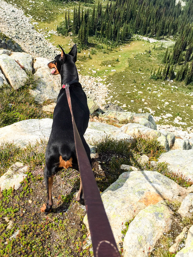
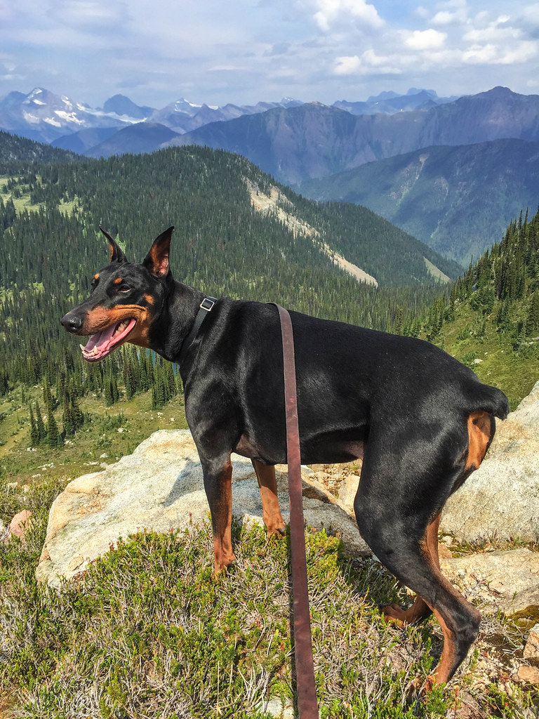
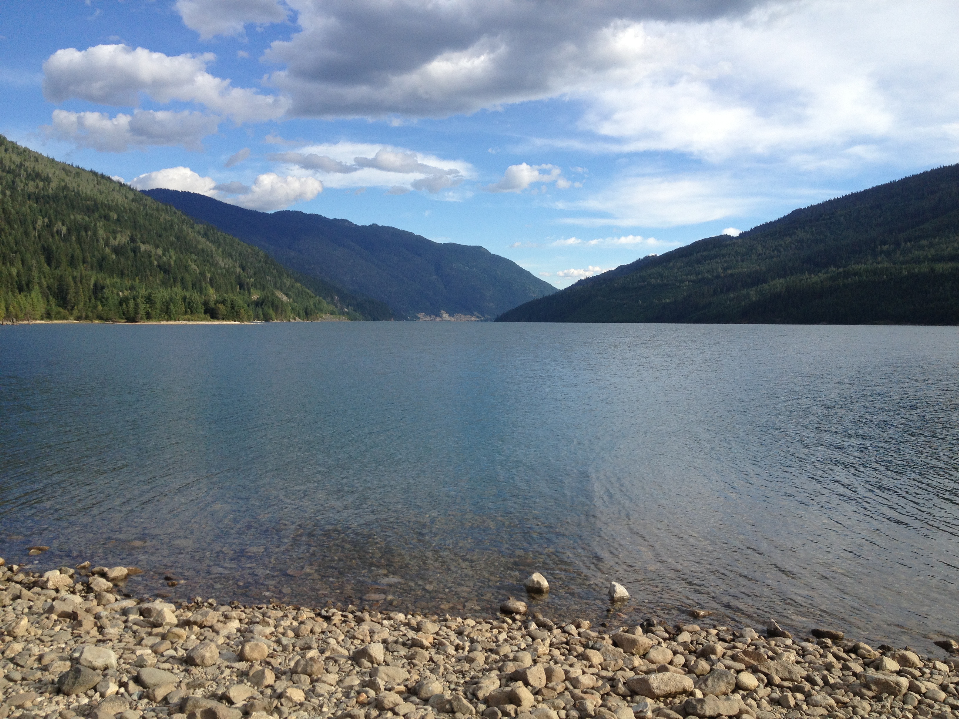
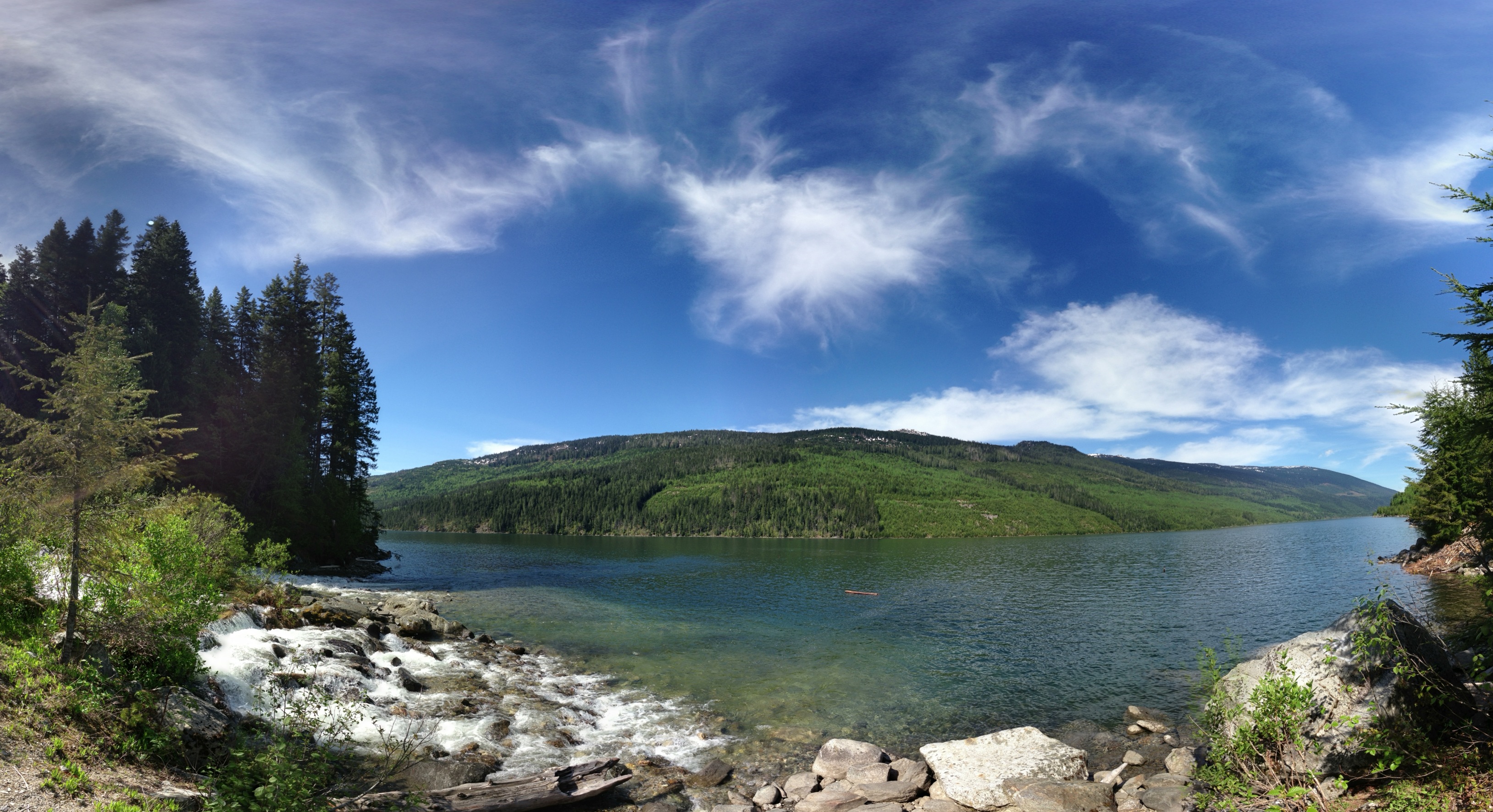
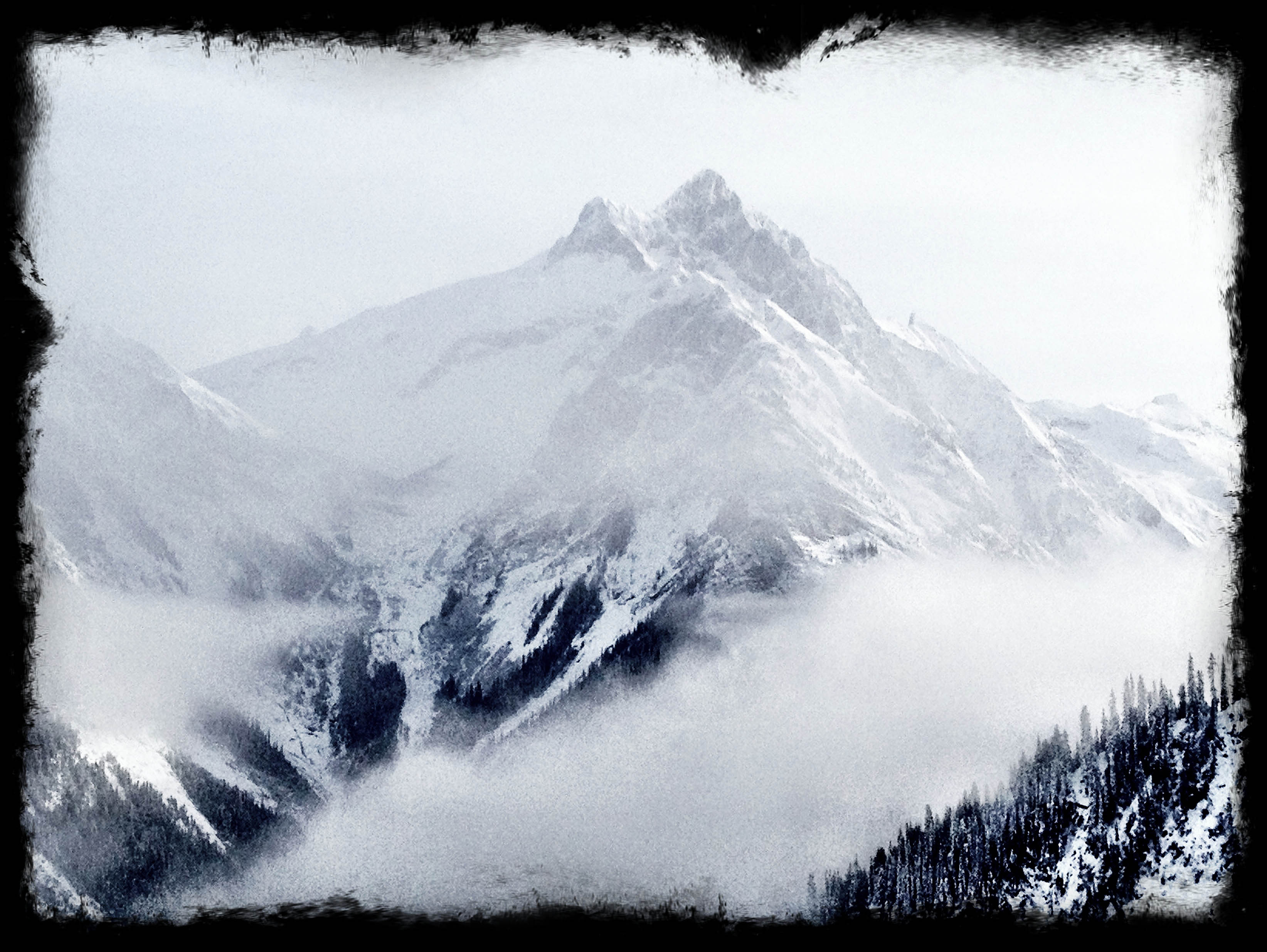
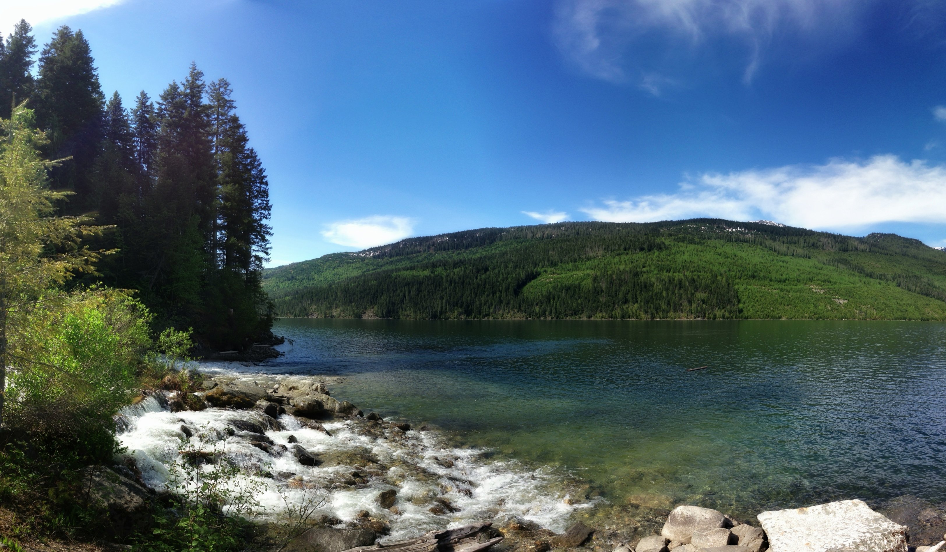
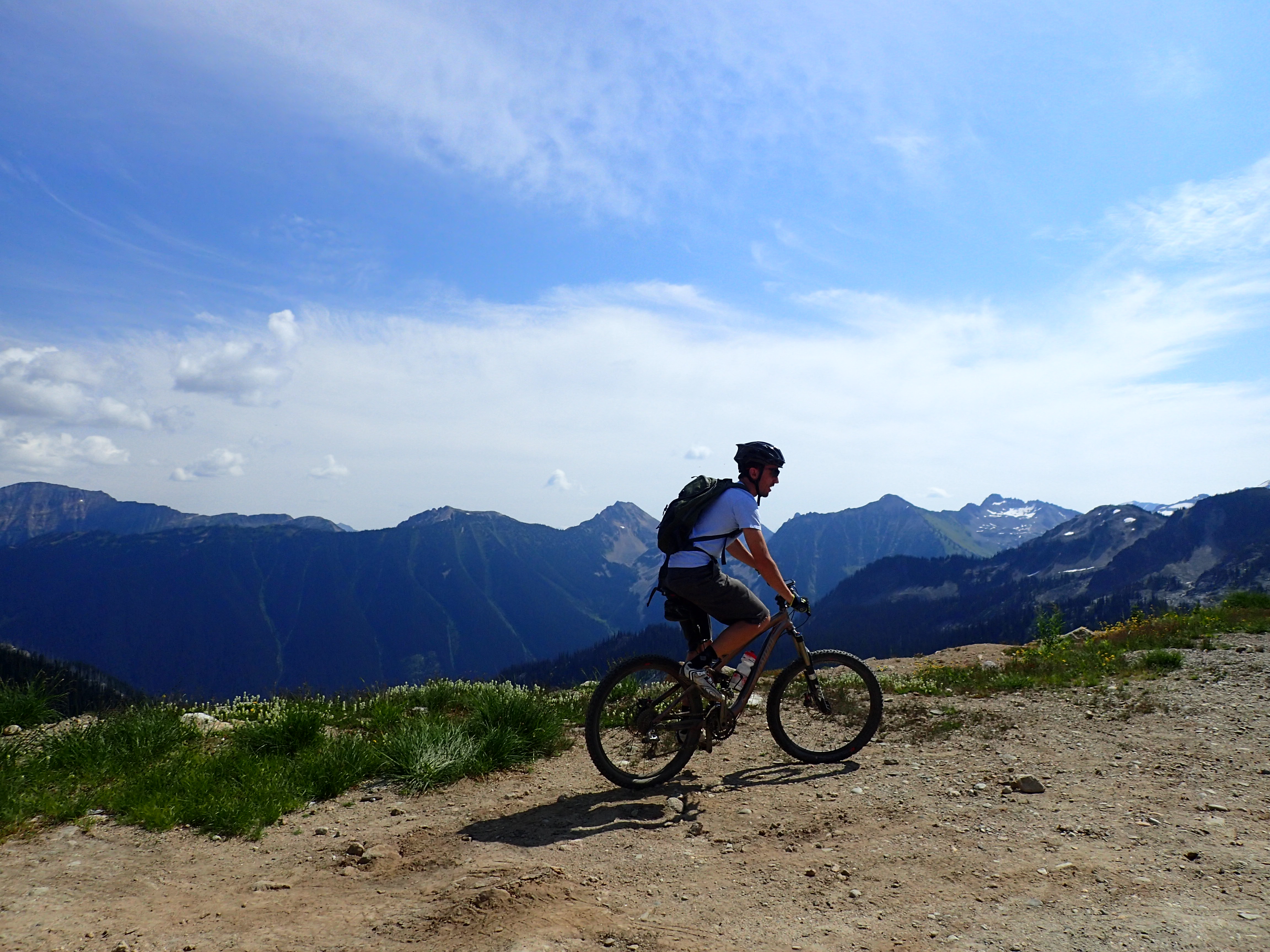
Related Photos:
IMG_0283.jpg
IMG_0279.jpg
1307xx trip home to Canada 45
St Cyr Creek
Revelstoke Heli 2013

1307xx trip home to Canada 44
St Cyr Creek
2014-08-02 Revvy (12)

2015-08-08 frisby (3)

2014-08-02 Revvy (11)
WP_20140111_005.jpg

WP_20140111_004.jpg
Geocaching with Coffee and piggybacking Nyssa
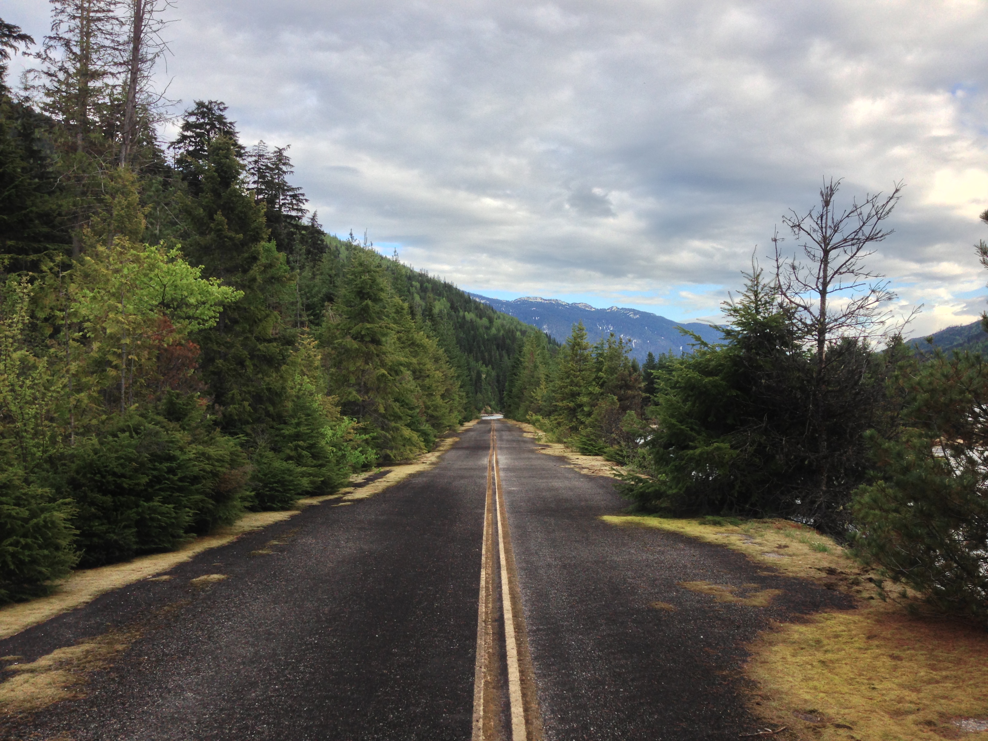
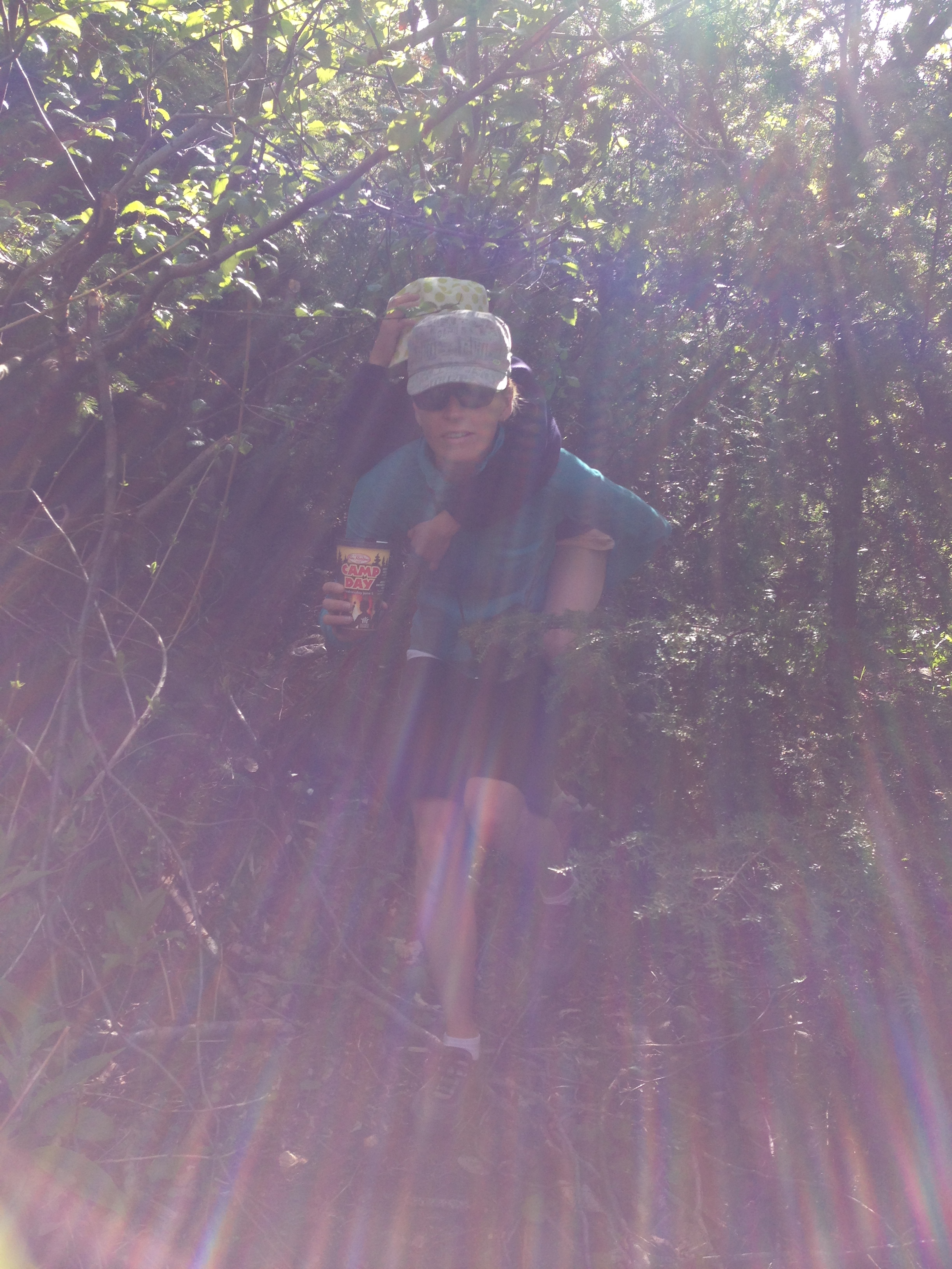
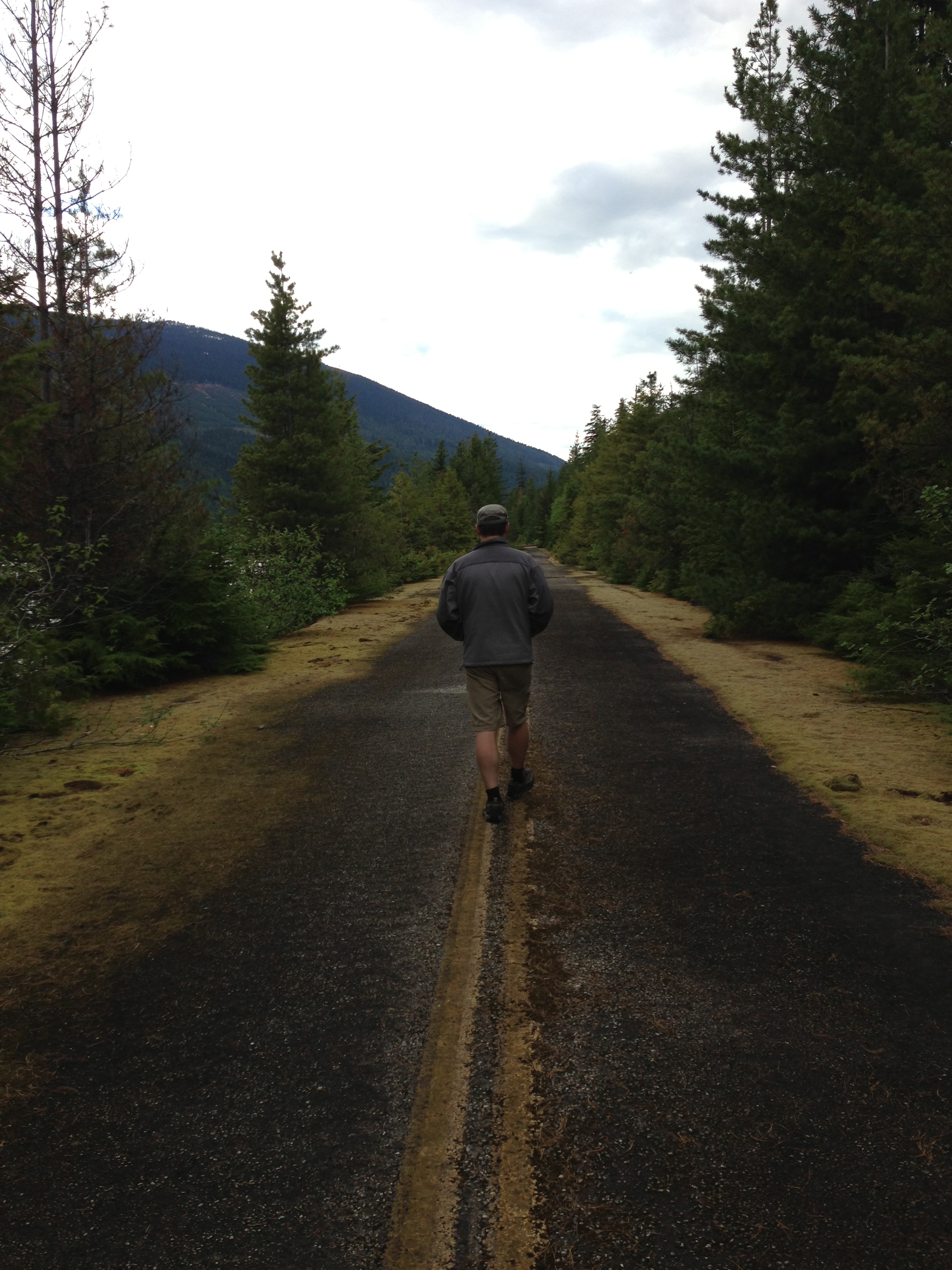
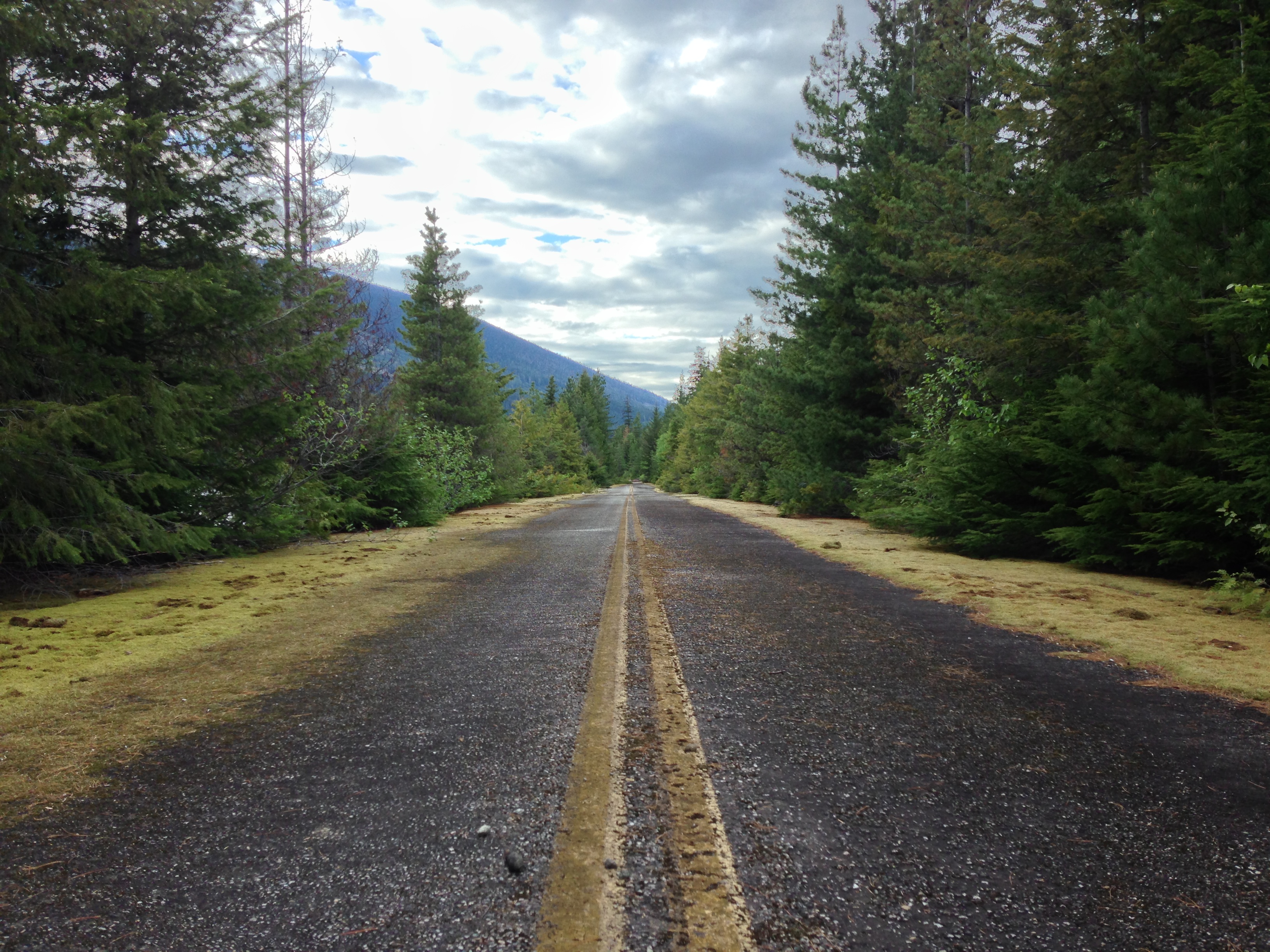
Abandoned Big Bend Highway
Abandoned Big Bend Highway
Abandoned Big Bend Highway

Abandoned Big Bend Highway
IMG_1821-001

IMG_1820-001

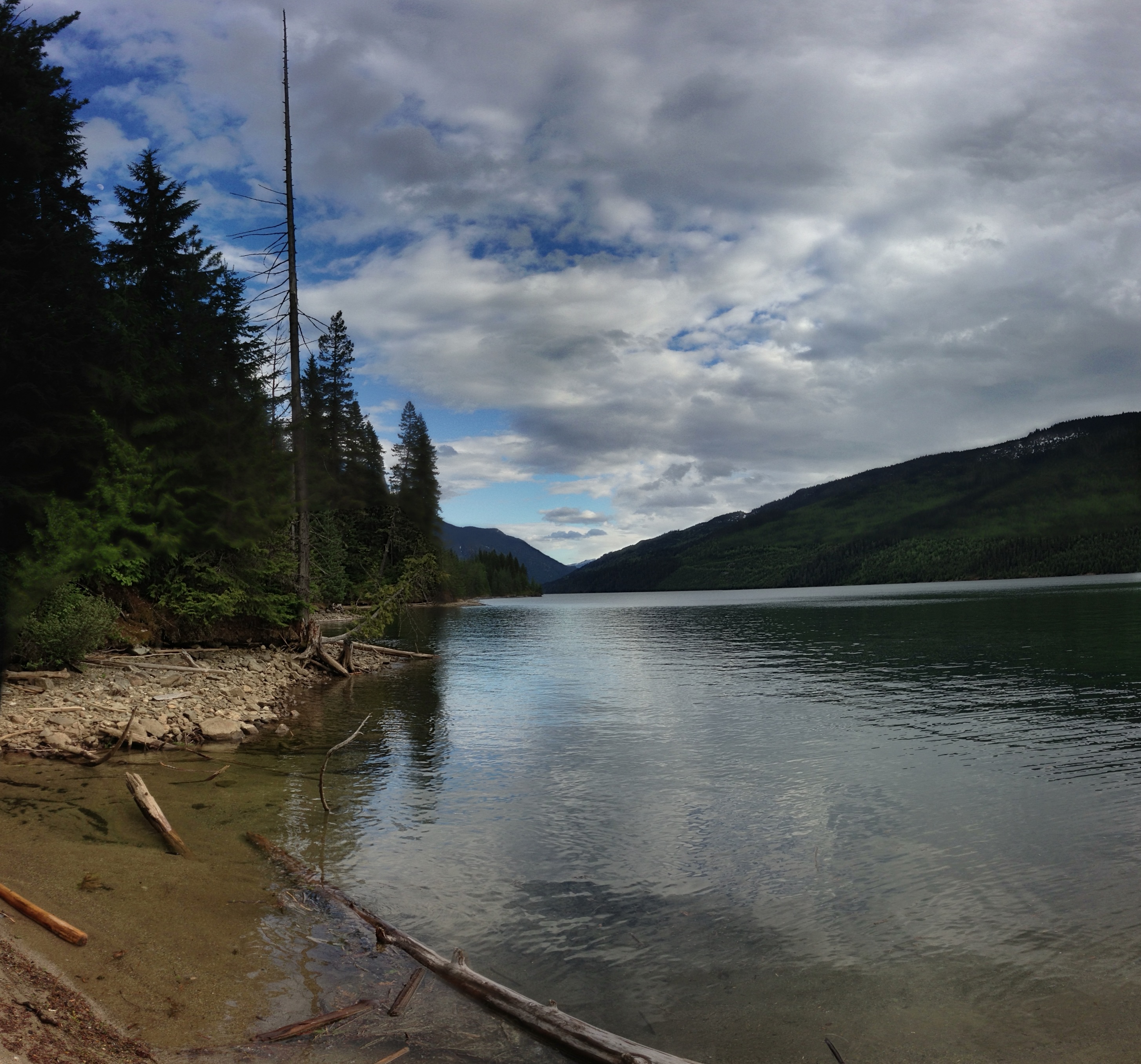
Hidden Beach
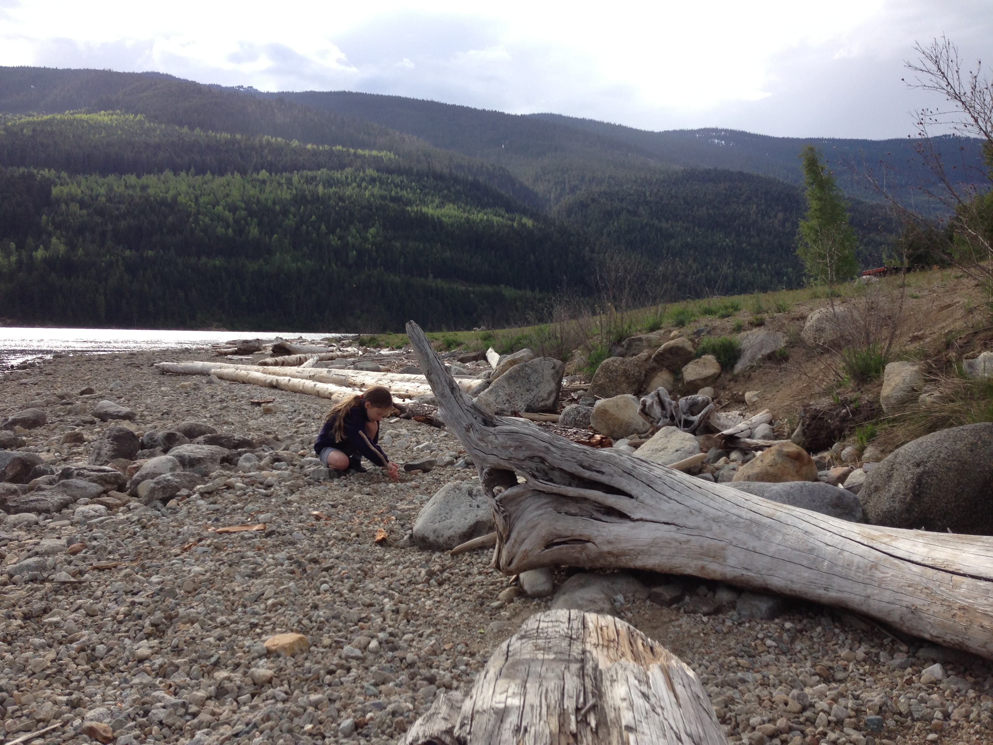
Martha Creek Beach
Topographic Map of Columbia-Shuswap B, BC, Canada
Find elevation by address:

Places in Columbia-Shuswap B, BC, Canada:
Revelstoke
Sorcerer Mountain
Mount Holway
Bachelor R
Neptune Peak
Mermaid Mountain
Remillard Peak
Hitchhiker Peak
Argonaut Mountain
Northeast Mountain
Mount Chapman
Warsaw Mountain
Galena Bay
Camborne
Trout Lake
Canyon Hot Springs
Mica Dam
Places near Columbia-Shuswap B, BC, Canada:
Best Western Plus Revelstoke
1123 2 St W
Courthouse Inn Revelstoke
Lamplighter Campground
410 3 St W
750 Tum Tum Rd
Boulder Mountain Massage Studio
V0e 2s0
Revelstoke
2375 Boulder Rd
1 Street East
1600 Illecillewaet Rd
Mountain Gate Road
8271 Trans-canada Hwy
Hitchhiker Peak
Craigellachie
Mermaid Mountain
Argonaut Mountain
Ackerman Road
Columbia-shuswap E
Recent Searches:
- Elevation of Corso Fratelli Cairoli, 35, Macerata MC, Italy
- Elevation of Tallevast Rd, Sarasota, FL, USA
- Elevation of 4th St E, Sonoma, CA, USA
- Elevation of Black Hollow Rd, Pennsdale, PA, USA
- Elevation of Oakland Ave, Williamsport, PA, USA
- Elevation of Pedrógão Grande, Portugal
- Elevation of Klee Dr, Martinsburg, WV, USA
- Elevation of Via Roma, Pieranica CR, Italy
- Elevation of Tavkvetili Mountain, Georgia
- Elevation of Hartfords Bluff Cir, Mt Pleasant, SC, USA