Elevation of Columbia-Shuswap E, BC, Canada

Location: Canada > British Columbia > Columbia-shuswap >

Longitude: -118.75945

Latitude: 50.9341048

Elevation: 702m / 2303feet

Barometric Pressure: 93KPa

Elevation Map:

elevation map of Columbia-Shuswap E, BC, Canada

Satellite Map:

Satellite map of Columbia-Shuswap E, BC, Canada

Related Photos:

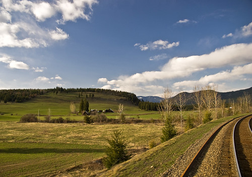
leica canada river cc geotag cameraraw rockymountaineer vlux3 topazdenoise topazdetail iphonemytracks
Eagle River
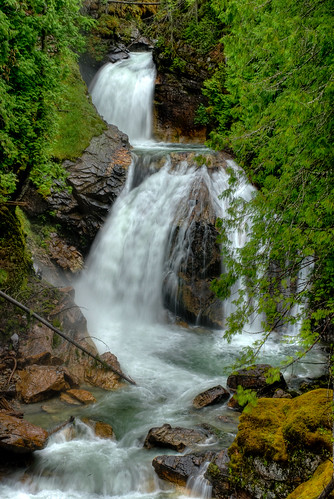
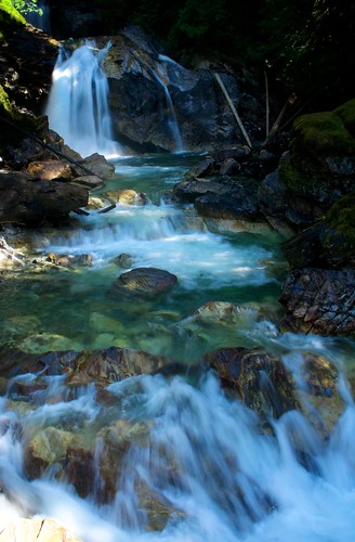
water long exposure bc britishcolumbia falls googleearth westcoastvacation 93793499n00
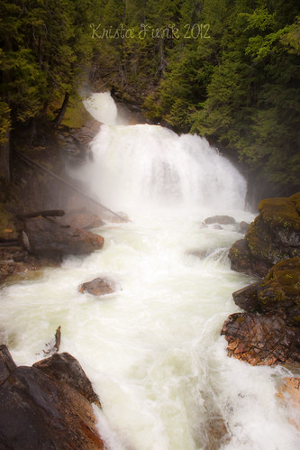
Crazy Creek Waterfalls - Long Exposure
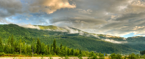
mountains bc britishcolumbia panoramic googleearth hdr westcoastvacation mtmara 93793499n00
Mt Mara
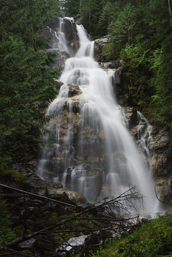
bc britishcolumbia waterfalls googleearth hdr westcoastvacation 93793499n00
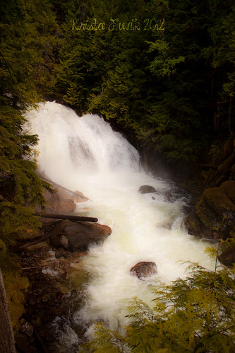
Crazy Creek Waterfalls
longexposure water bc geocaching hiking britishcolumbia googleearth fals westcoastvacation 93793499n00 hpccanada
Kay Falls - Closer View
leica canada river geotag cameraraw rockymountaineer vlux3 topazdenoise topazdetail iphonemytracks cc2014
Eagle River
leica canada river geotag railroadtracks cameraraw rockymountaineer vlux3 topazdenoise topazdetail iphonemytracks cc2014
Eagle River
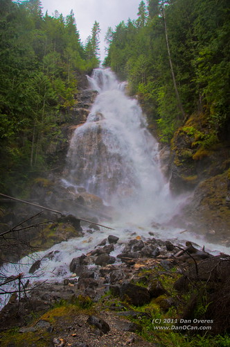
bridge water long exposure bc britishcolumbia falls googleearth westcoastvacation 93793499n00
Crazy Creek Waterfalls - Bridge
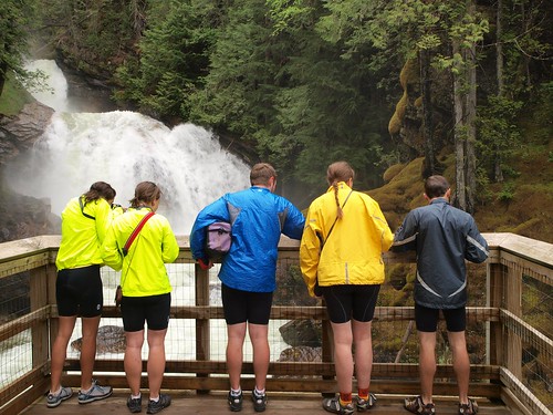
bcinterior
Crazy Creek viewing
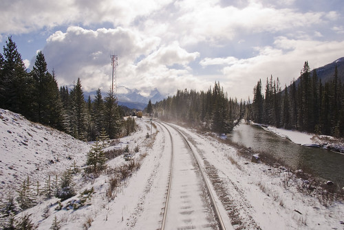
lake canada mountains rockies nikon britishcolumbia trains alberta rails rockymountains mountaineer canadianrockies rockymountaineer d40x andreaskoeberl
Canadian Pacific Railway
lake canada mountains rockies nikon britishcolumbia trains alberta rails rockymountains mountaineer canadianrockies rockymountaineer d40x andreaskoeberl
Canadian Pacific Railway
lake canada mountains rockies nikon britishcolumbia trains alberta rails rockymountains mountaineer canadianrockies rockymountaineer d40x andreaskoeberl
Canadian Pacific Railway
autumn background beautiful beauty blue canada canadian cascade creek fall flowing foliage forest fresh green lake landscape leaf motion mountain natural nature outdoor park peaceful plant rain river road rock rockies rocky scenery scenic sky snow spring stone stream summer tourism travel tree tropical vacation water waterfall wet wild wood
Canadian Roadtrip (10)
longexposure water bc geocaching hiking britishcolumbia falls googleearth westcoastvacation 93793499n00
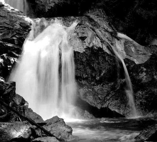
Kay Falls - Long Exposure
canada geotagged golden waterfall britishcolumbia transcanadahighway kayfalls 1011kmtogoldeninbritishcolumbiacanada geo:lat=50974586 geo:lon=118606544
One Second Falls
canada britishcolumbia waterfalls crazycreekfalls
Crazy Creek Falls
transcanadahighway shuswap malakwa pacificgateway bchighway1 malakwabc malakwabridge
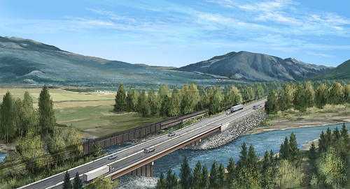
New Malakwa Bridge artist rendering
ca canada britishcolumbia enchantedforest malakwa
IMG_0869.jpg
water waterfalls creeks crazycreek crazycreekfalls
Crazy Creek Falls, near Craigellachie, BC
road park wood travel blue autumn wild summer vacation sky mountain lake snow plant canada motion tree green fall tourism nature wet water beautiful beauty rain rock stone creek forest river landscape rockies waterfall leaf spring scenery stream natural outdoor background scenic rocky peaceful canadian fresh foliage tropical flowing cascade
Canadian Roadtrip (12)
water waterfalls creeks crazycreek crazycreekfalls
Crazy Creek Falls, near Craigellachie, BC
canada britishcolumbia waterfalls crazycreekfalls
Crazy Creek Falls
road park wood travel blue autumn wild summer vacation sky mountain lake snow plant canada motion tree green fall tourism nature wet water beautiful beauty rain rock stone creek forest river landscape rockies waterfall leaf spring scenery stream natural outdoor background scenic rocky peaceful canadian fresh foliage tropical flowing cascade
Canadian Roadtrip (14)
bcinterior
Crazy Creek