Elevation of Colrain Rd, Greenfield, MA, USA
Location: United States > Massachusetts > Franklin County > Greenfield >
Longitude: -72.632821
Latitude: 42.6162968
Elevation: 63m / 207feet
Barometric Pressure: 101KPa
Elevation Map:
Satellite Map:
Related Photos:

summer weekend

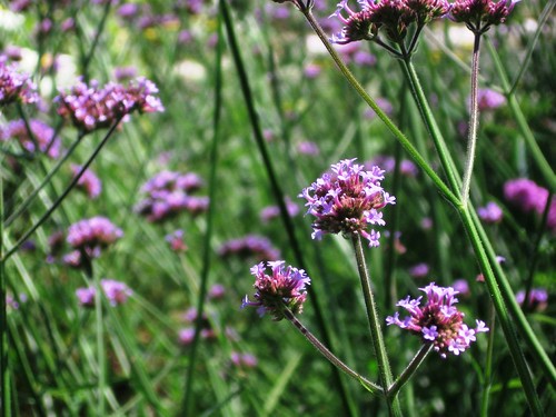
White Dahlia

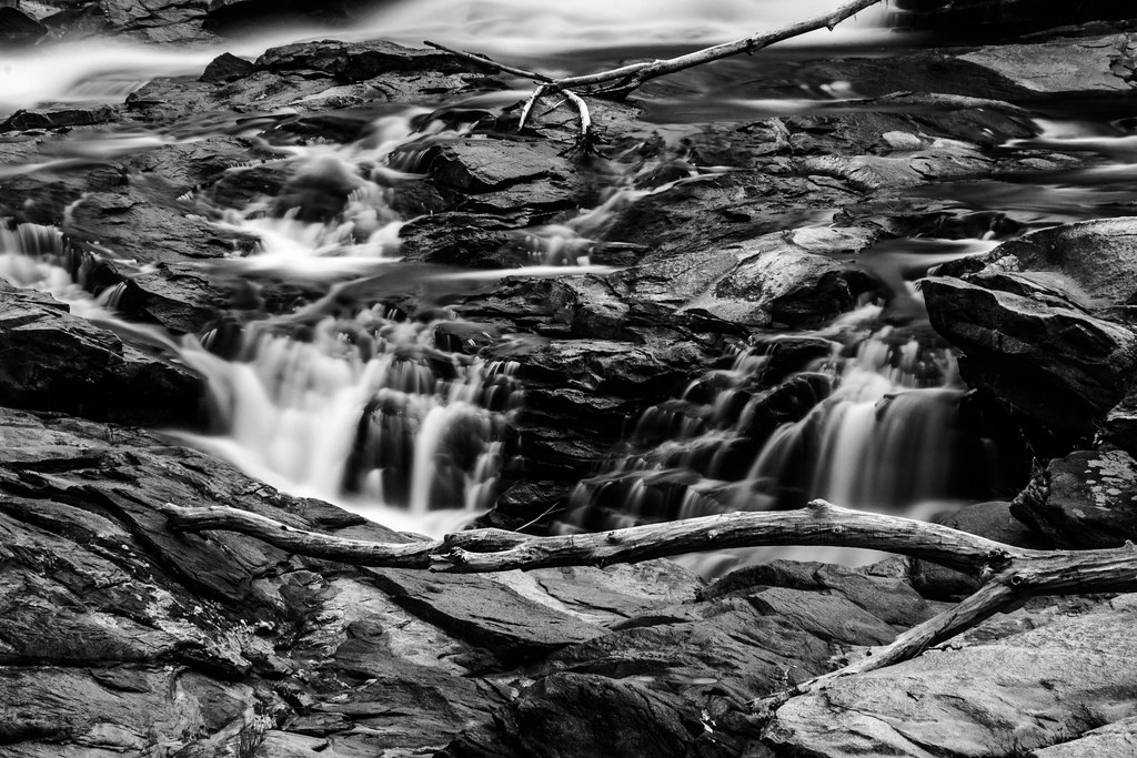
Old Man of the Falls
view off bridge

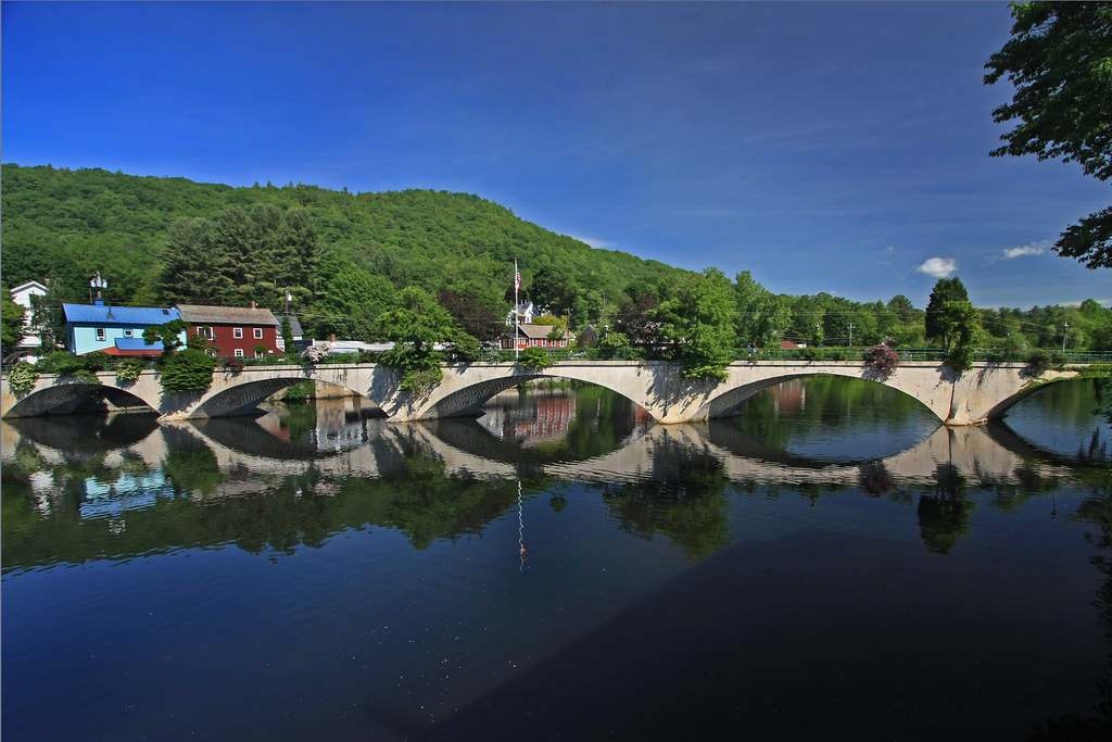
View through Bridge to East Portal to Hurricane Damaged Eunice Williams Covered Bridge
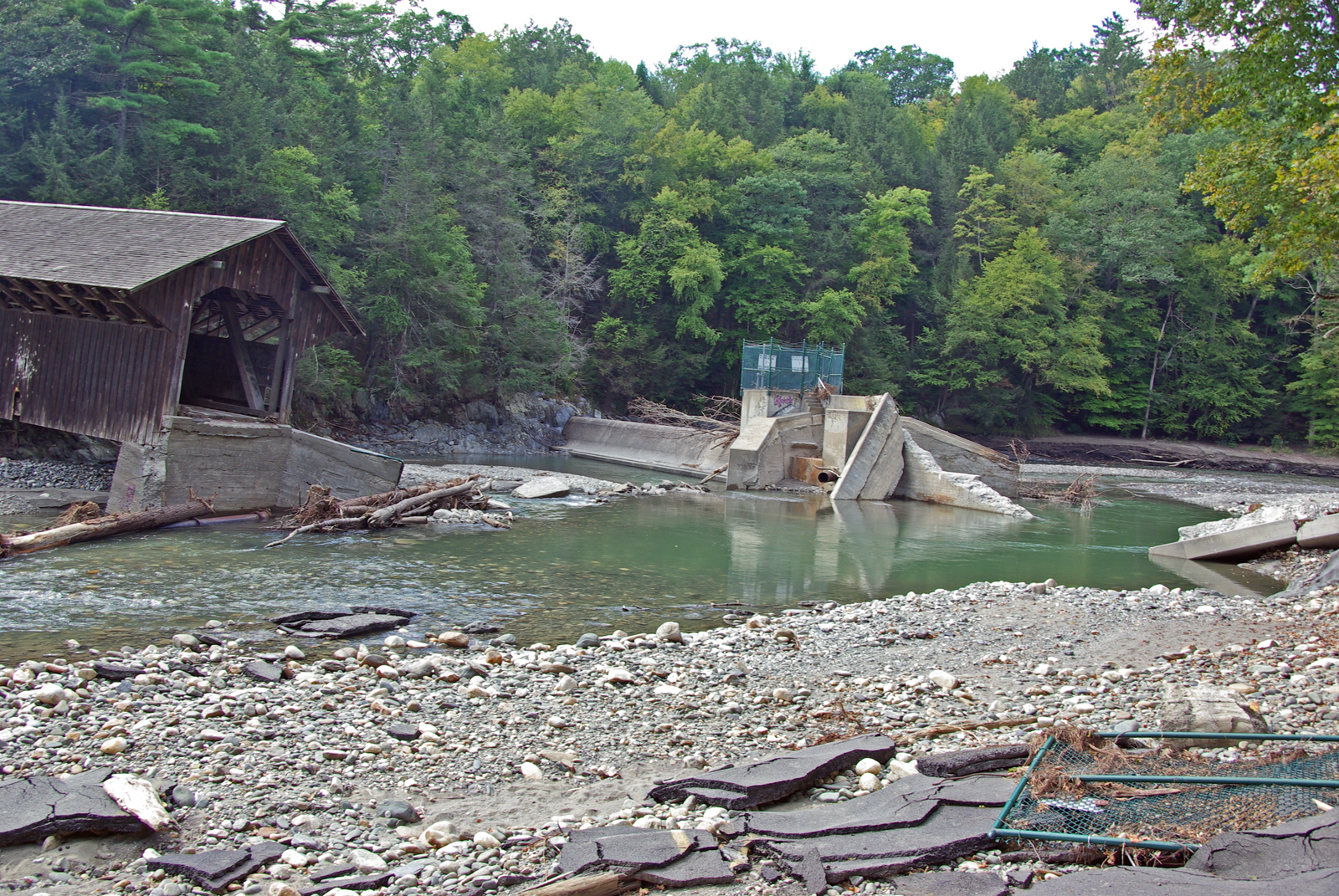
View from East Side to Hurricane Damaged Eunice Williams Covered Bridge

Butterfly Bokeh
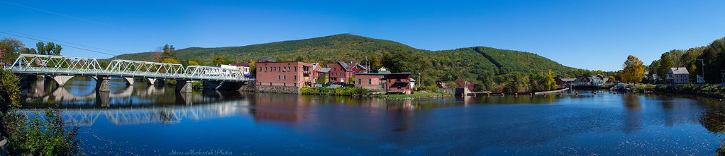
Shelburne Falls 0411-0417 Panorama
Sawmill River Run
Bridge of Flowers

Common crow (Euploea Core) sitting on leaf

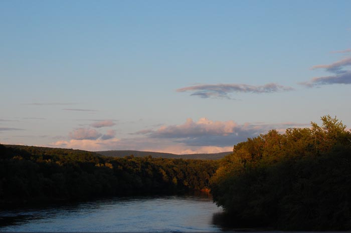
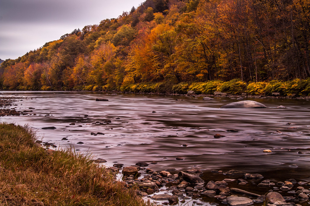
Connecticut River
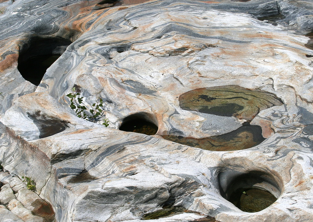
Glacial Potholes

Feb-19-2011_Magic-Wings_513
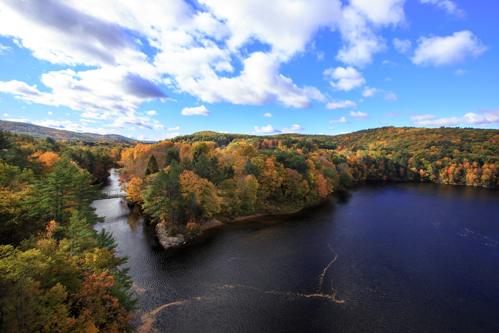
Autumn View from Fench King Bridge, MA
The view north

Leaves on the River
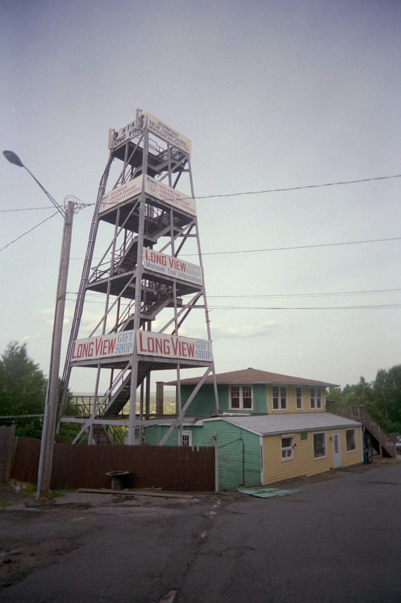
Long View Tower
CT River View
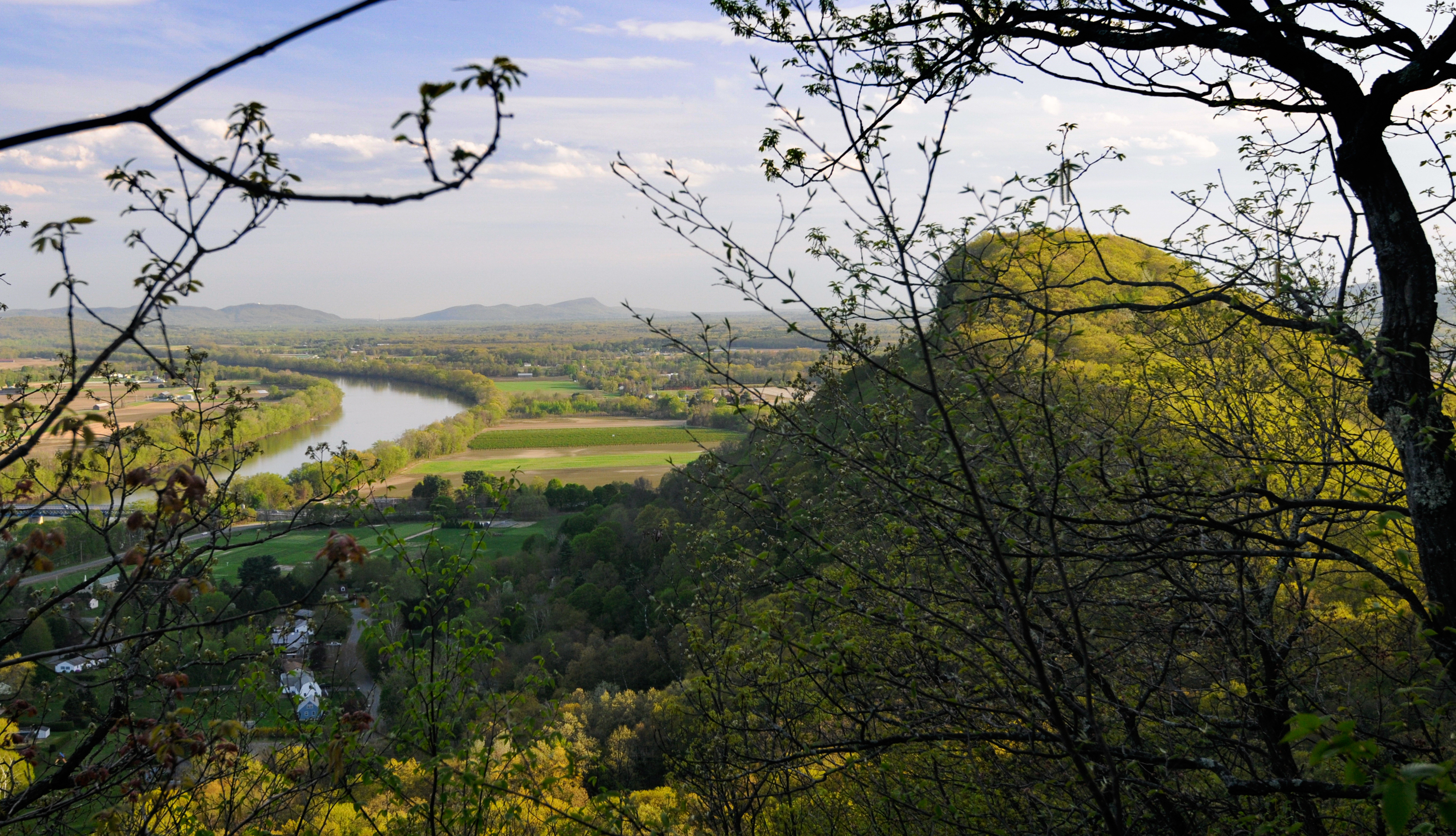
Sugarloaf View

Pteronymia Notilla on leaf
Buckland on Deerfield
Shelburne Falls
October on The Deerfield
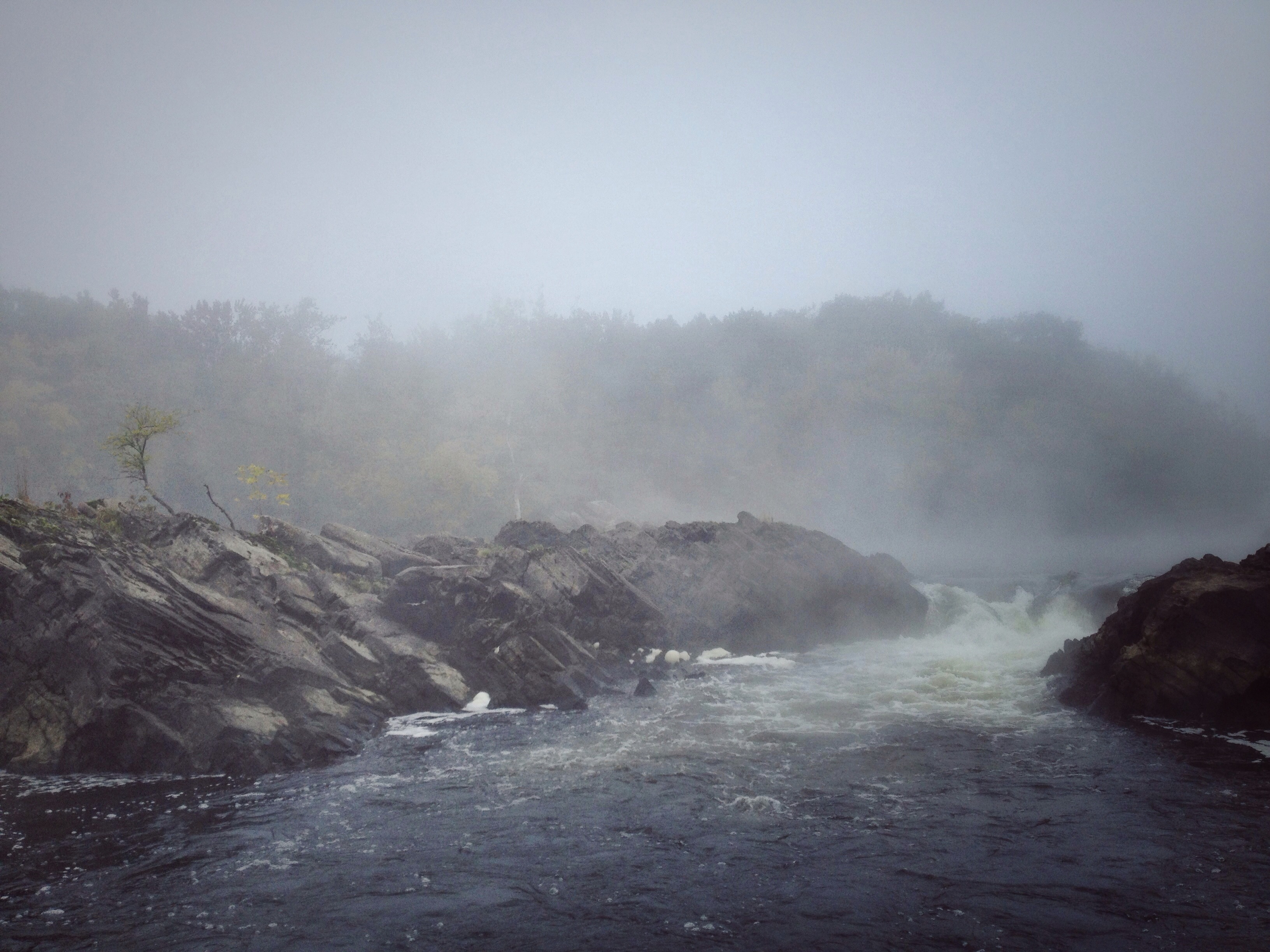
Rock Dam

Millers River

Railroad Bridge

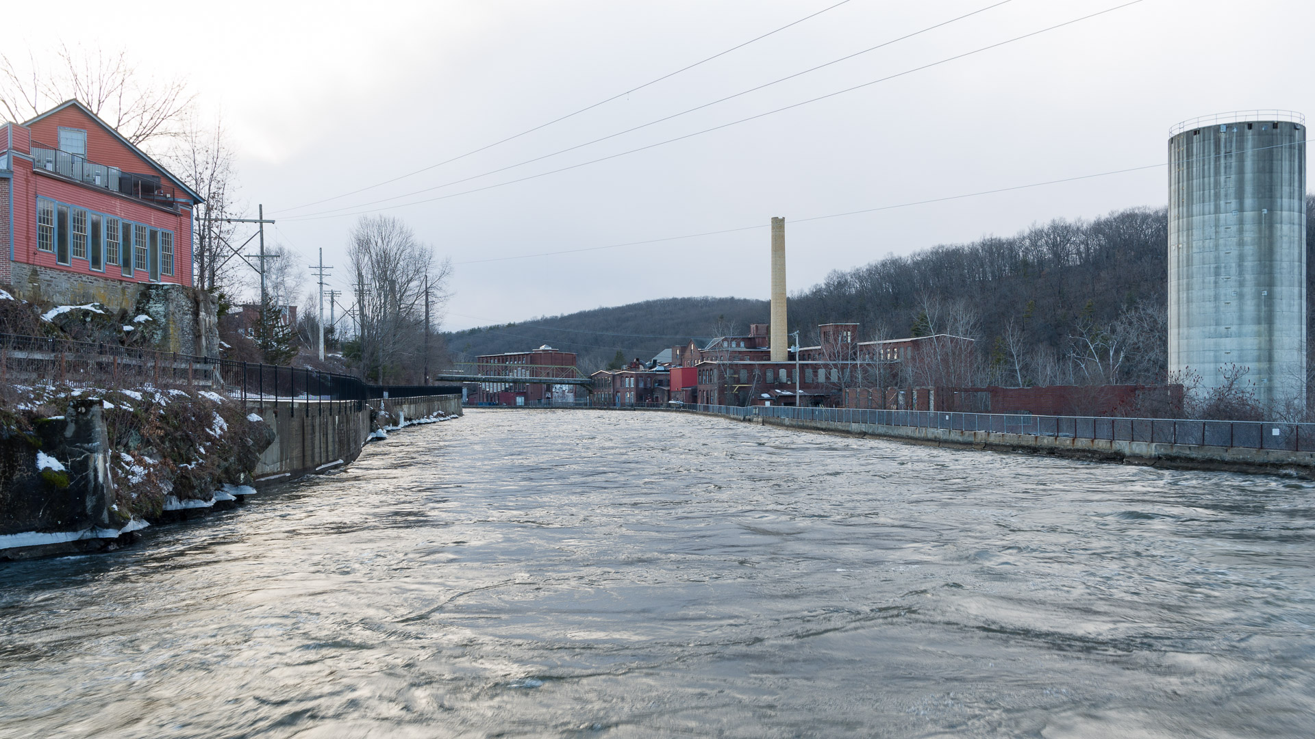
Salmon Falls at Shelburne Falls Ma

Bridge of Flowers Shelburne Falls Ma
Briggs Brook Falls

I love this place ❤#Northfield #MA #love
Hydro Canal

Panoramic from Mt. Tom
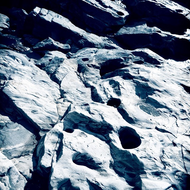
Holes in a hole #nature #Geology #touristy
Magic Wings garden
Magic Wings garden
Magic Wings garden

_DSC9821.jpg
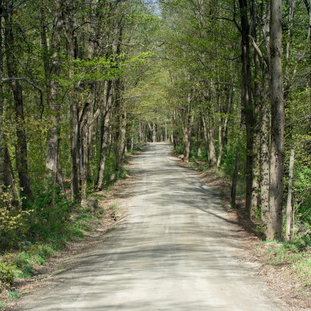
#adventureahead #newchapter #vtshots #dirtroads #spring #vermontshots my last day at @marlborocollege

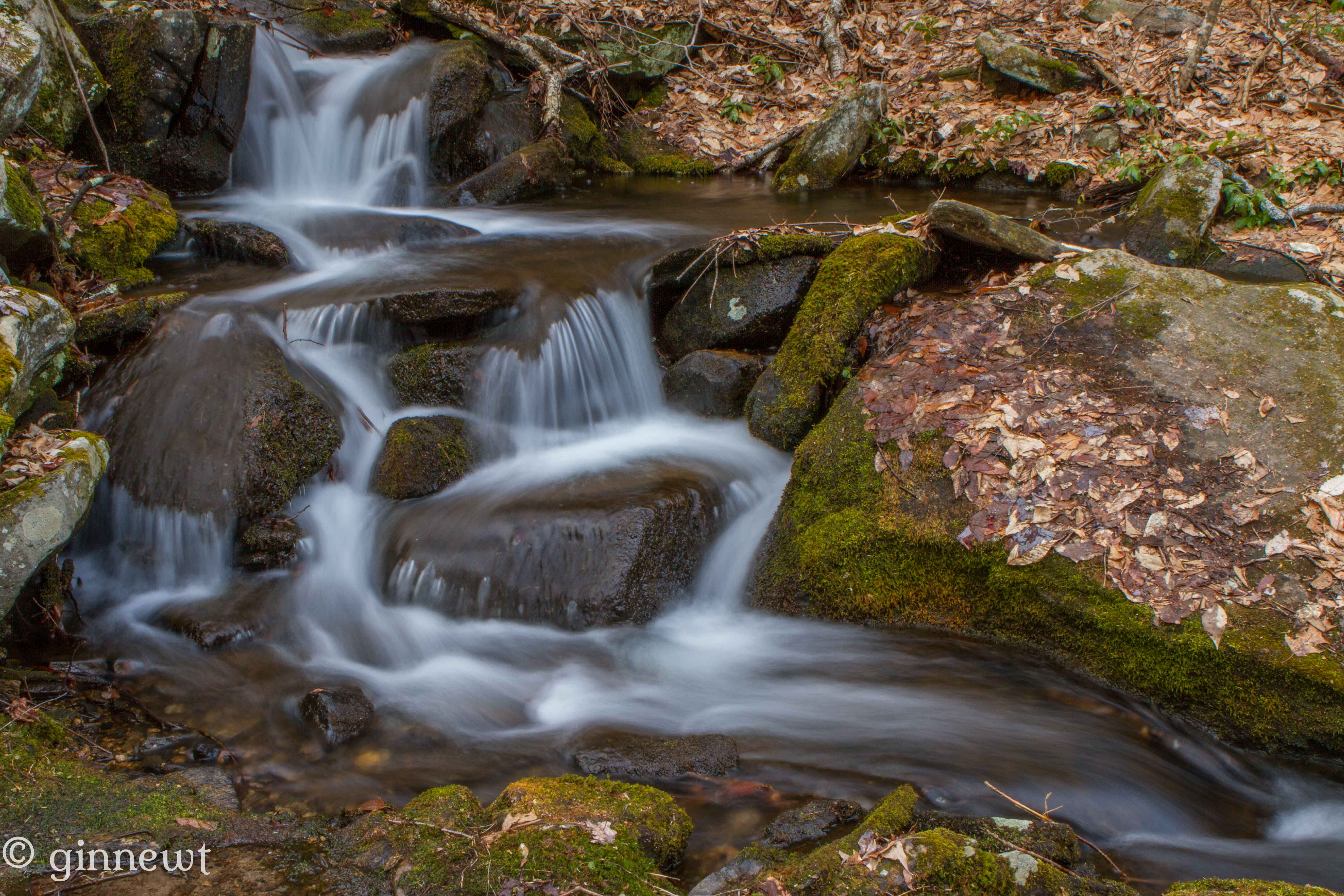
Trailside Cascade
Topographic Map of Colrain Rd, Greenfield, MA, USA
Find elevation by address:

Places near Colrain Rd, Greenfield, MA, USA:
248 Colrain Rd
330 Leyden Rd
431 Green River Rd
238 Wells St
18 Miner St
1232 Mohawk Trail
238 Davis St
62 Barton Rd
66 Barton Rd
133 Main St
106 Barton Rd
360 S Shelburne Rd
83 Greenfield Rd
Greenfield
412 Main St
451 Main St
574 Bernardston Rd
Massachusetts 2
24 Meridian St
61 Meridian St
Recent Searches:
- Elevation of Corso Fratelli Cairoli, 35, Macerata MC, Italy
- Elevation of Tallevast Rd, Sarasota, FL, USA
- Elevation of 4th St E, Sonoma, CA, USA
- Elevation of Black Hollow Rd, Pennsdale, PA, USA
- Elevation of Oakland Ave, Williamsport, PA, USA
- Elevation of Pedrógão Grande, Portugal
- Elevation of Klee Dr, Martinsburg, WV, USA
- Elevation of Via Roma, Pieranica CR, Italy
- Elevation of Tavkvetili Mountain, Georgia
- Elevation of Hartfords Bluff Cir, Mt Pleasant, SC, USA