Elevation of 66 Barton Rd, Greenfield, MA, USA
Location: United States > Massachusetts > Franklin County > Greenfield >
Longitude: -72.604357
Latitude: 42.6435644
Elevation: 95m / 312feet
Barometric Pressure: 100KPa
Elevation Map:
Satellite Map:
Related Photos:

View of the CT River from bridge...

NECR 611 Southbound Crossing the Connecticut River

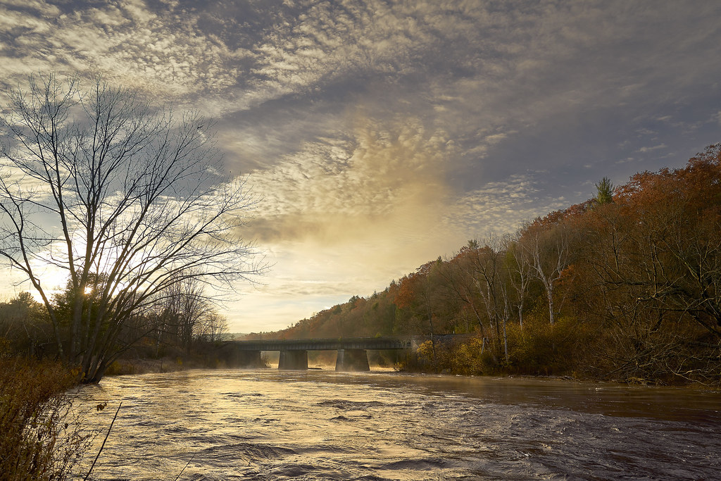
Autumn Foliage Scenery viewed from French King Bridge

1979 09-28 1645 B&M S4-1271 switching at East Deerfield, MA

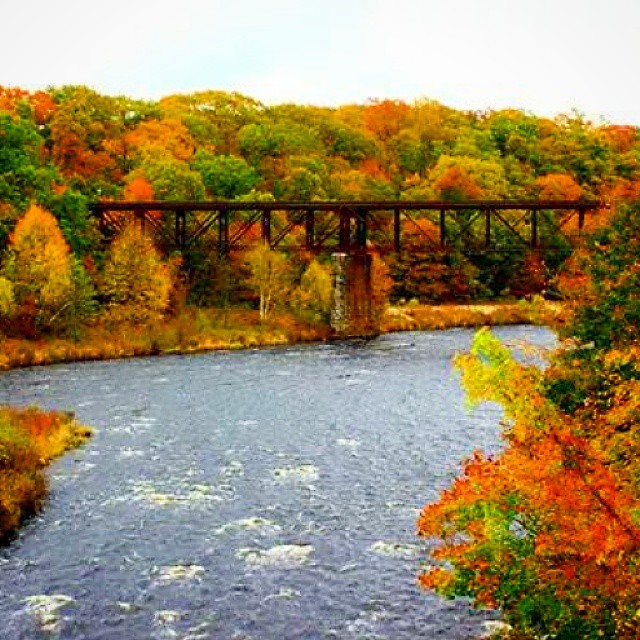
Panoramic Autumn Foliage Scenery viewed from French King Bridge
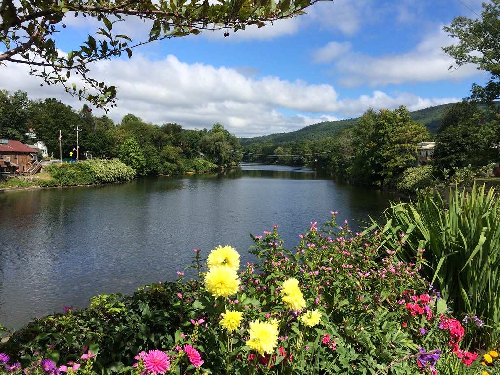
Bridge of Flowers

611 Steps Out Over the Connecticut River
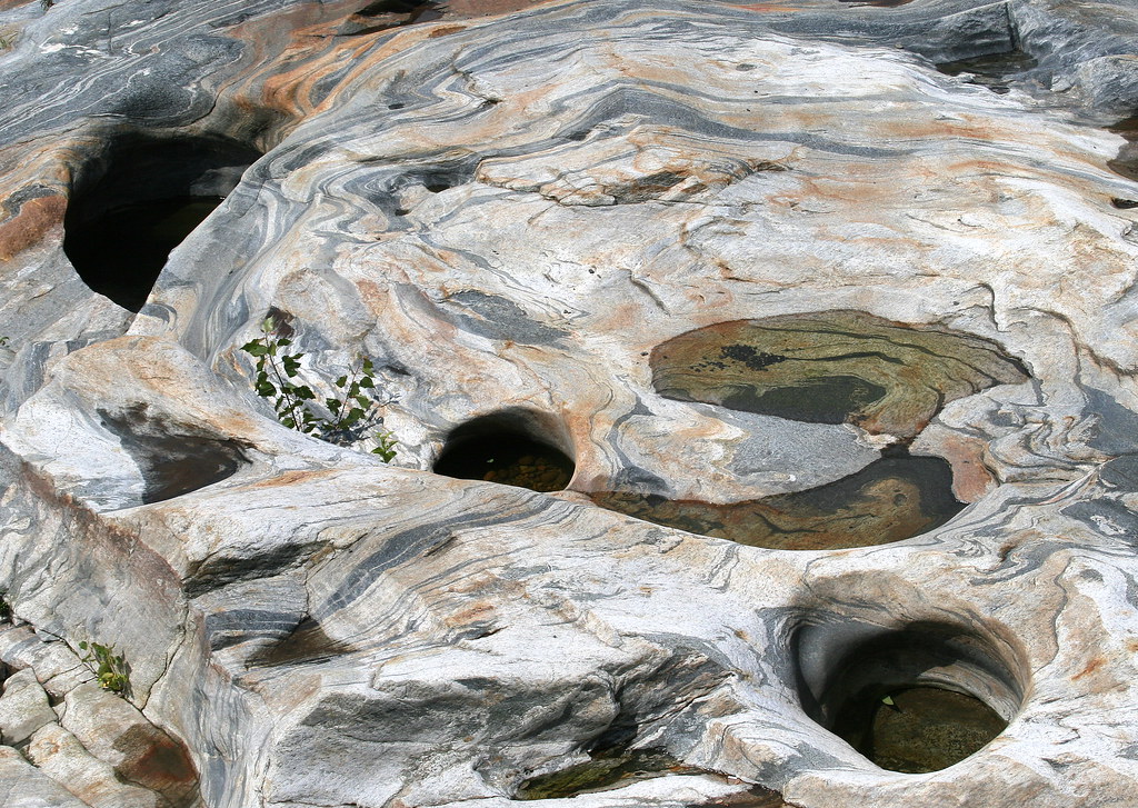
Glacial Potholes

Bridge of Flowers

Abandoned Mill - 2

Bridge of Flowers

summer weekend

Long View Tower

Old Man of the Falls

White Dahlia

Sunshine in the Rain

20191016-NRCS-LSC-0004

View from East Side to Hurricane Damaged Eunice Williams Covered Bridge

View from East Side to Hurricane Damaged Eunice Williams Covered Bridge

winning hand

View from East Side to Hurricane Damaged Eunice Williams Covered Bridge

Millers RIver West of Bridge 0801

Hill, fencepost and clouds (5180) 1
Erving RR Bridge 0945

Just social distancing mom...

Old Parsonage House ~ Historic Deerfield Village

Rock Dam

Waterfall and side canal

Shelburne Falls

Abandoned Mill
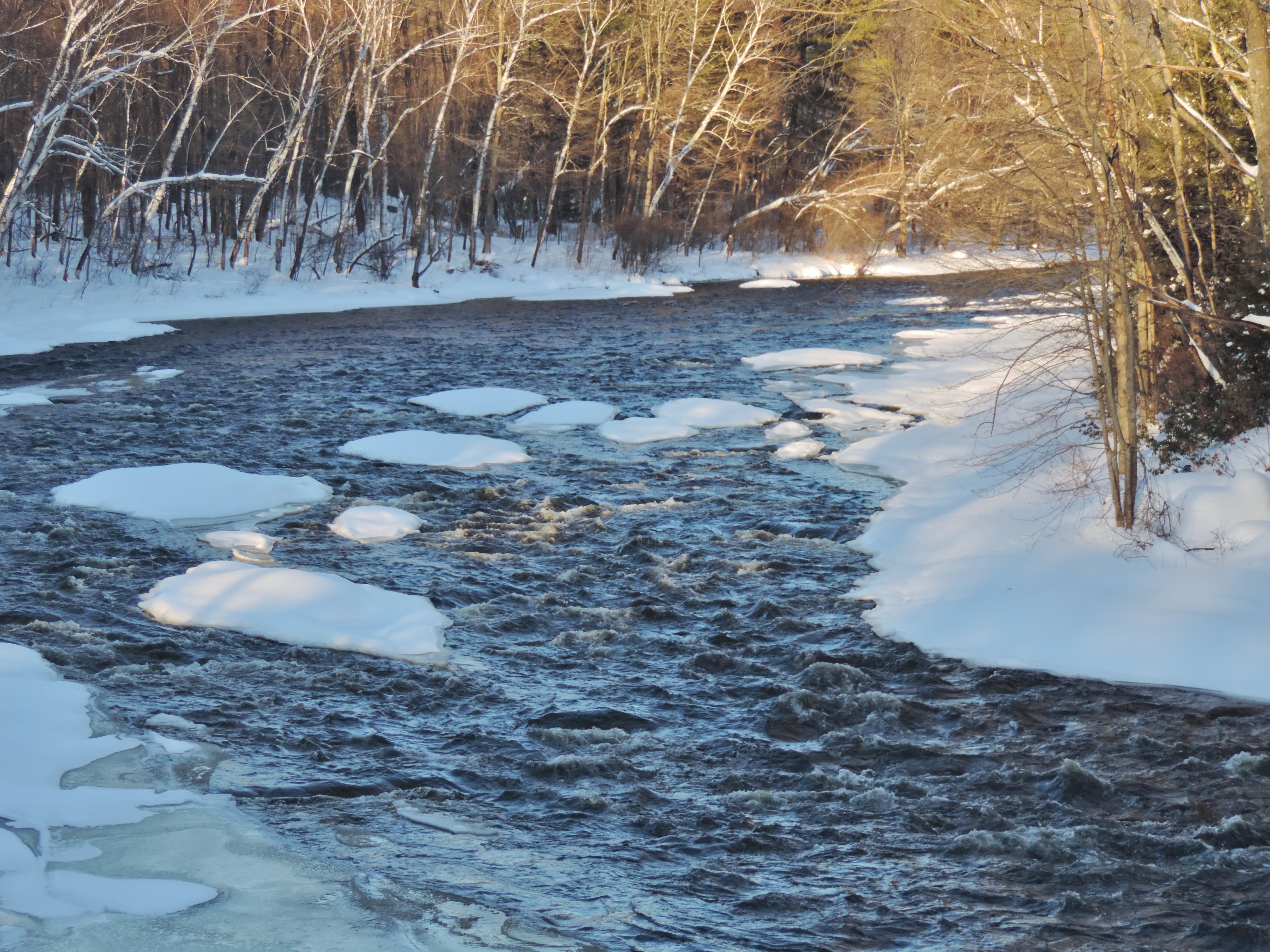
Millers River

Hydro Canal
Railroad Bridge

Along the Canal on Rt. 112 in Colrain....

Bardswell's Ferry Bridge 2

The Vermonter at Bernardston

Salmon Falls at Shelburne Falls Ma

Building Art

Bardswell's Ferry Bridge 3

Bridge of Flowers Shelburne Falls Ma

Shelburne Falls / Vista
Topographic Map of 66 Barton Rd, Greenfield, MA, USA
Find elevation by address:

Places near 66 Barton Rd, Greenfield, MA, USA:
62 Barton Rd
106 Barton Rd
83 Greenfield Rd
330 Leyden Rd
431 Green River Rd
Eden Trail
62 Barton Heights
574 Bernardston Rd
53 S School House Rd
61 Barton Heights
Massachusetts 2
701 Colrain Rd
114 Lovers Ln
379 Fox Hill Rd
27 Eastern Ave
238 Wells St
238 Davis St
248 Colrain Rd
40 Canada Hill Rd
497 Lampblack Rd
Recent Searches:
- Elevation of Corso Fratelli Cairoli, 35, Macerata MC, Italy
- Elevation of Tallevast Rd, Sarasota, FL, USA
- Elevation of 4th St E, Sonoma, CA, USA
- Elevation of Black Hollow Rd, Pennsdale, PA, USA
- Elevation of Oakland Ave, Williamsport, PA, USA
- Elevation of Pedrógão Grande, Portugal
- Elevation of Klee Dr, Martinsburg, WV, USA
- Elevation of Via Roma, Pieranica CR, Italy
- Elevation of Tavkvetili Mountain, Georgia
- Elevation of Hartfords Bluff Cir, Mt Pleasant, SC, USA