Elevation map of Colima, Mexico
Location: Mexico >
Longitude: -104.00723
Latitude: 19.1222634
Elevation: 484m / 1588feet
Barometric Pressure: 96KPa
Elevation Map:
Satellite Map:
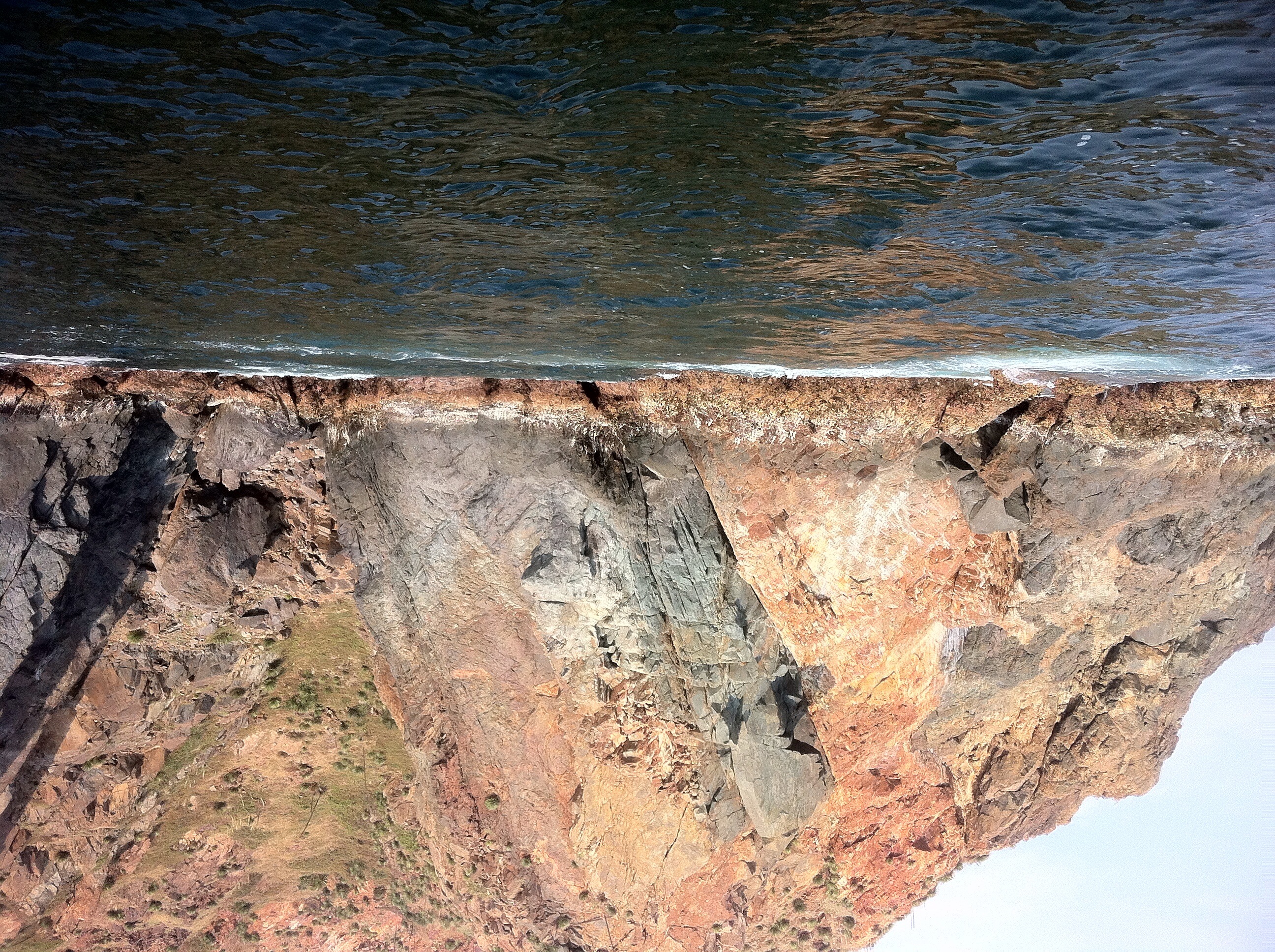
Related Photos:


Se Terminó :}

Truchas De Rio

Mi More

Sabrosa!

Trucha De Rio

Chacal De Rio

Cada detalle es único en el mundo de la naturaleza... #Tree #Photo #InstaMoment

Blanco,negro

Mi otro yo

Road to Colima
River Stars
Topographic Map of Colima, Mexico
Find elevation by address:

Places in Colima, Mexico:
Cuauhtémoc
Manzanillo
Río Marabasco
Colima
Comala
COL 19 16, Colima, Mexico
24a
Camotlán De Miraflores
Punta De Agua De Camotlán
Places near Colima, Mexico:
24a
Colima
Colima
Comala
Comala
Hillock New Colima
COL 19 16, Colima, Mexico
Cuauhtémoc
Cuauhtémoc
Centro
Lb
Quesería
Tonila
Corregidora, Centro, Coahuayana de Hidalgo, Mich., Mexico
Tercero
Coahuayana De Hidalgo
Volcán De Colima
Tecomán - Cd Lázaro Cárdenas 3, Pomaro, Mich., Mexico
Placita De Morelos
Centro
Recent Searches:
- Elevation of Corso Fratelli Cairoli, 35, Macerata MC, Italy
- Elevation of Tallevast Rd, Sarasota, FL, USA
- Elevation of 4th St E, Sonoma, CA, USA
- Elevation of Black Hollow Rd, Pennsdale, PA, USA
- Elevation of Oakland Ave, Williamsport, PA, USA
- Elevation of Pedrógão Grande, Portugal
- Elevation of Klee Dr, Martinsburg, WV, USA
- Elevation of Via Roma, Pieranica CR, Italy
- Elevation of Tavkvetili Mountain, Georgia
- Elevation of Hartfords Bluff Cir, Mt Pleasant, SC, USA