Elevation of Colborne, NB, Canada
Location: Canada > New Brunswick > Restigouche County >
Longitude: -66.277871
Latitude: 47.7205979
Elevation: 336m / 1102feet
Barometric Pressure: 97KPa
Elevation Map:
Satellite Map:
Related Photos:
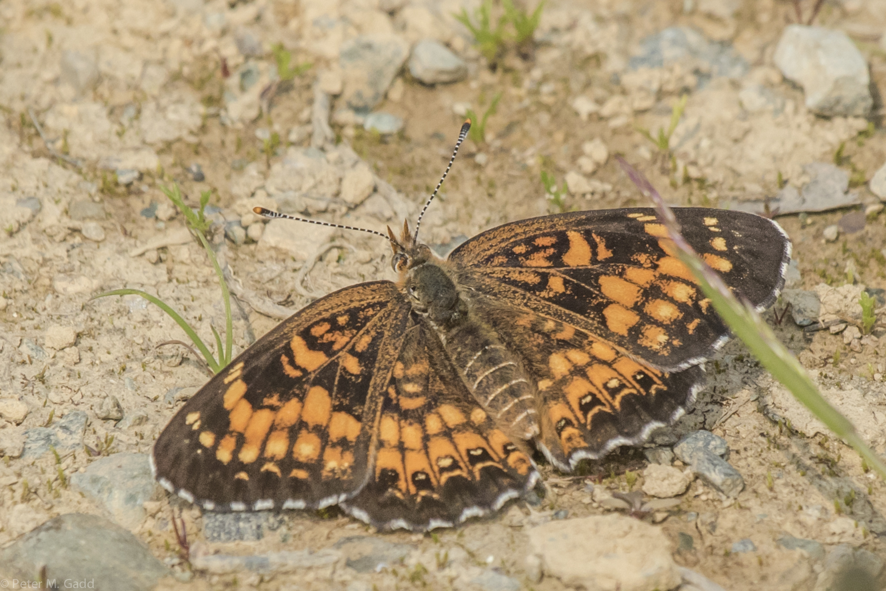
Silvery Checkerspot 20150704 Popple Depot
Topographic Map of Colborne, NB, Canada
Find elevation by address:

Places in Colborne, NB, Canada:
Places near Colborne, NB, Canada:
Restigouche County
Northesk
Addington
Upsalquitch River Rd, Upsalquitch, NB E3N 6L8, Canada
Mount Carleton
Southesk
Eldon
Serpentine Lodge
E8b 1y5
Kedgwick
New Brunswick 260
Rue Saint Jean Baptiste
Saint-quentin
Ludlow
76 Chemin Quatre Milles, Kedgwick River, NB E8B 1V1, Canada
Grimmer
Storeytown
245 Chemin Monseigneur Martin O
Storeytown Road
New Brunswick
Recent Searches:
- Elevation of Corso Fratelli Cairoli, 35, Macerata MC, Italy
- Elevation of Tallevast Rd, Sarasota, FL, USA
- Elevation of 4th St E, Sonoma, CA, USA
- Elevation of Black Hollow Rd, Pennsdale, PA, USA
- Elevation of Oakland Ave, Williamsport, PA, USA
- Elevation of Pedrógão Grande, Portugal
- Elevation of Klee Dr, Martinsburg, WV, USA
- Elevation of Via Roma, Pieranica CR, Italy
- Elevation of Tavkvetili Mountain, Georgia
- Elevation of Hartfords Bluff Cir, Mt Pleasant, SC, USA