Elevation of Coker Rd, Pitkin, LA, USA
Location: United States > Louisiana > Vernon Parish > >
Longitude: -92.851760
Latitude: 30.929033
Elevation: 51m / 167feet
Barometric Pressure: 101KPa
Elevation Map:
Satellite Map:
Related Photos:
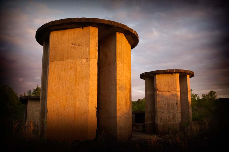
Unknown Towers
Topographic Map of Coker Rd, Pitkin, LA, USA
Find elevation by address:

Places near Coker Rd, Pitkin, LA, USA:
2997 Par Rd 566
Pitkin
Grant, LA, USA
LA-, Mittie, LA, USA
4, LA, USA
276 Reva Ln
Louisiana 26
5, LA, USA
LA-, Dry Creek, LA, USA
4876 Greentown Rd
Allen Parish
205 Kingrey Rd
DeRidder, LA, USA
215 Woodland Rd
3273 Us-171
12474 La-113
3a
4b
260 Parish Line Rd
Bernard Rd & Benard Ave
Recent Searches:
- Elevation of Corso Fratelli Cairoli, 35, Macerata MC, Italy
- Elevation of Tallevast Rd, Sarasota, FL, USA
- Elevation of 4th St E, Sonoma, CA, USA
- Elevation of Black Hollow Rd, Pennsdale, PA, USA
- Elevation of Oakland Ave, Williamsport, PA, USA
- Elevation of Pedrógão Grande, Portugal
- Elevation of Klee Dr, Martinsburg, WV, USA
- Elevation of Via Roma, Pieranica CR, Italy
- Elevation of Tavkvetili Mountain, Georgia
- Elevation of Hartfords Bluff Cir, Mt Pleasant, SC, USA