Elevation of Coke St, Yoakum, TX, USA
Location: United States > Texas > Dewitt County > Yoakum >
Longitude: -97.140290
Latitude: 29.2855292
Elevation: 100m / 328feet
Barometric Pressure: 100KPa
Elevation Map:
Satellite Map:
Related Photos:

Picture A Day November 8, 2009 - Shiner Shrine (at Saints Cyril and Methodius Catholic Church)

Large Web at Night

Picture A Day January 31, 2010 - Saints Cyril and Methodius Catholic Church in Shiner, Texas

Sucking Bug
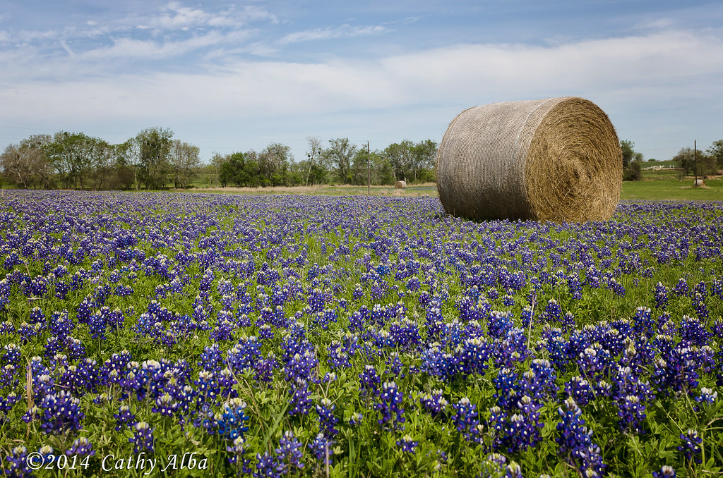
Bluebonnets and Hay Bales...
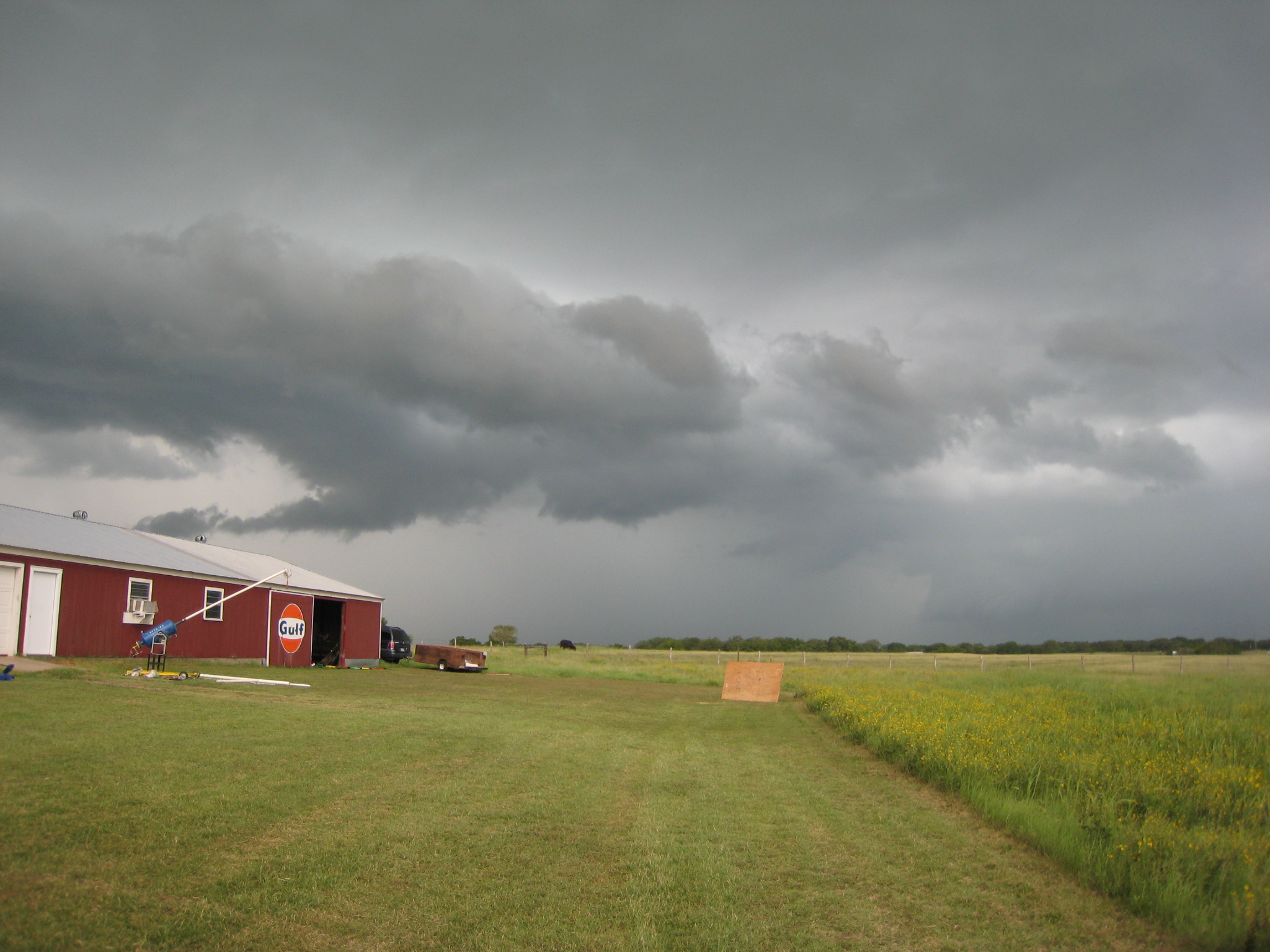
Barn and Imminent Storm
121005 Flight 174 from Syds-018.jpg
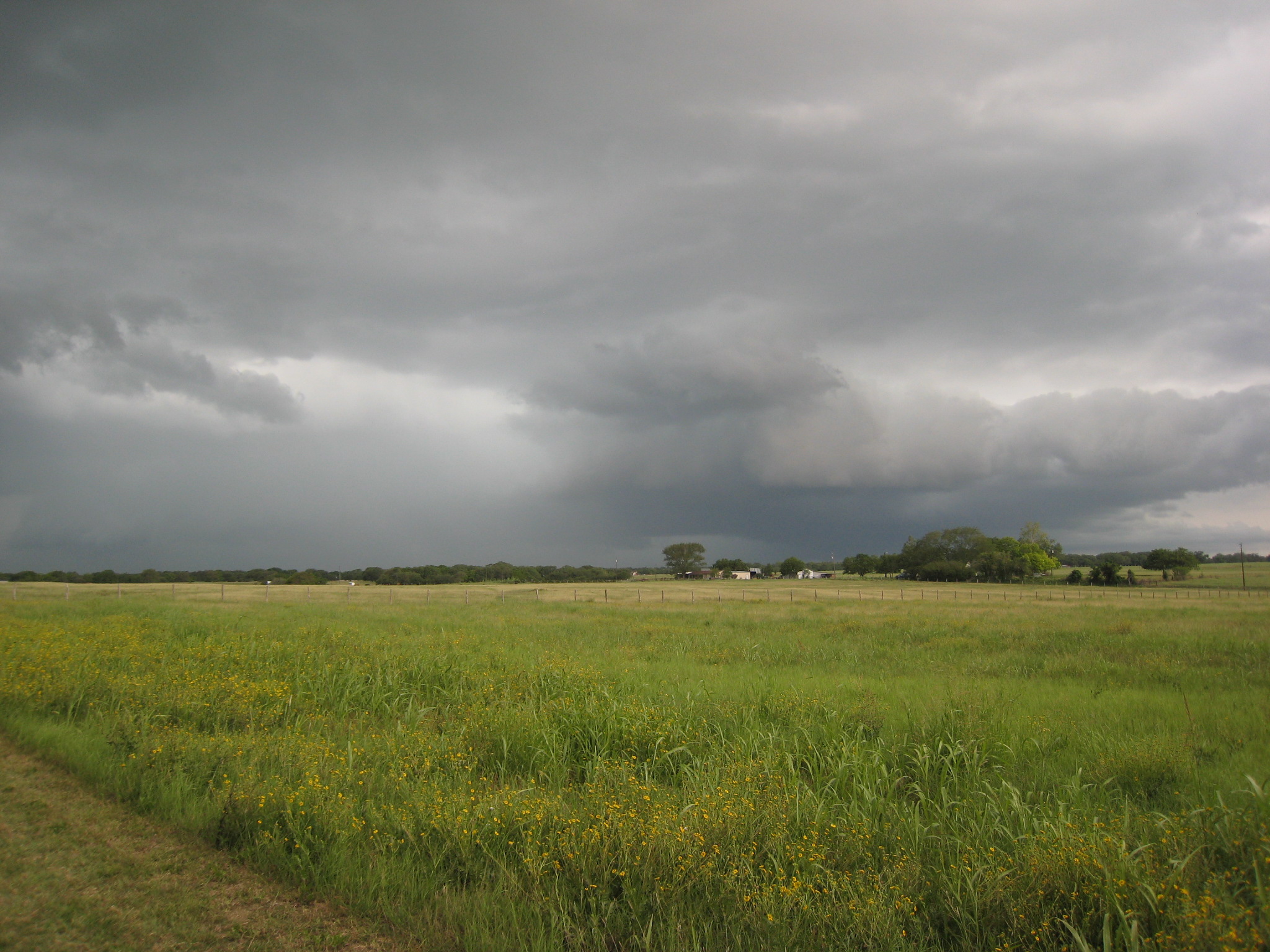
Storm Rolling In
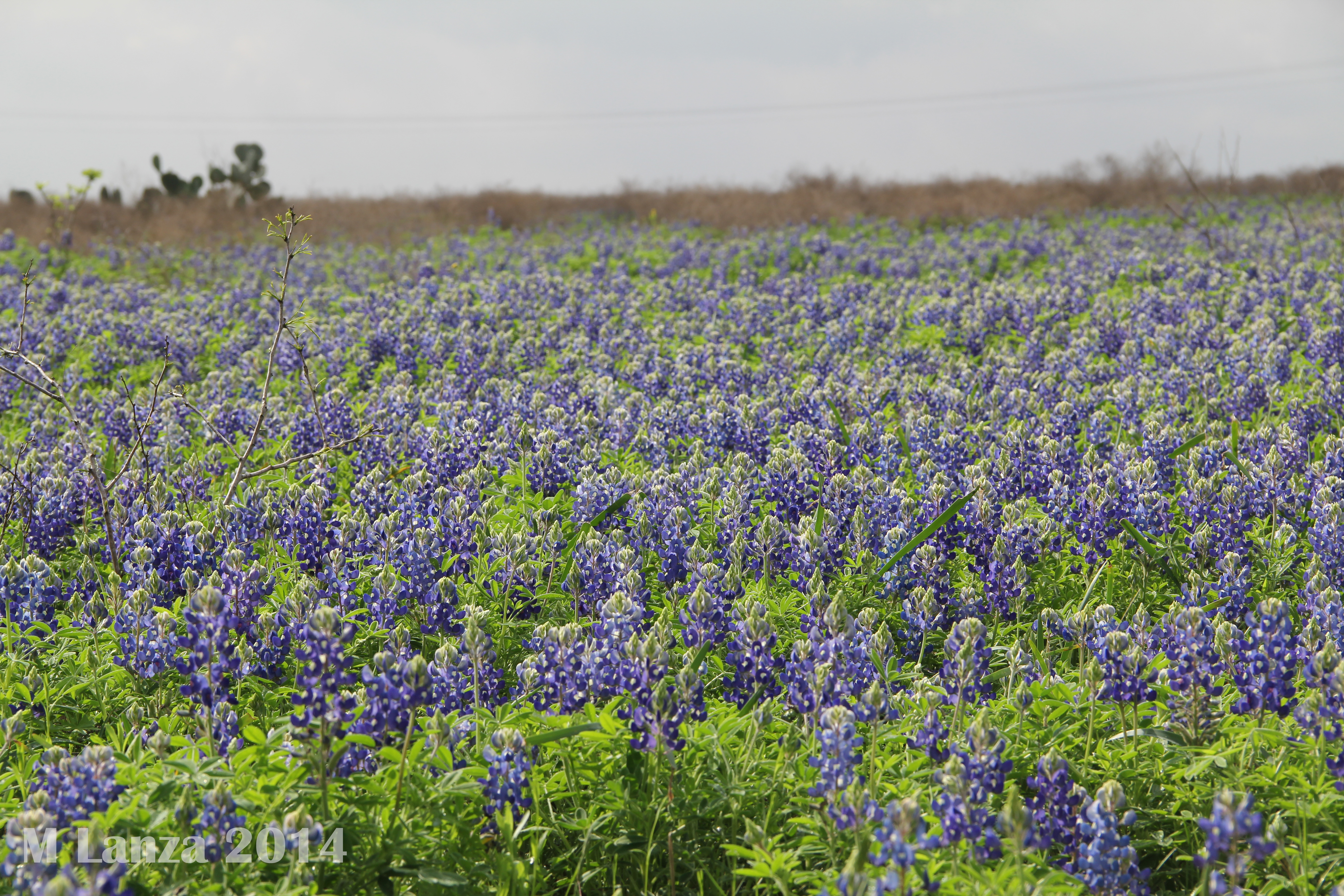
Shiner, Texas Bluebonnets
Noisy Neighbors
Sittin out on my porch swing watchin some dude mow my front yard
South Central Texas Landscape (Lavaca County, Texas)
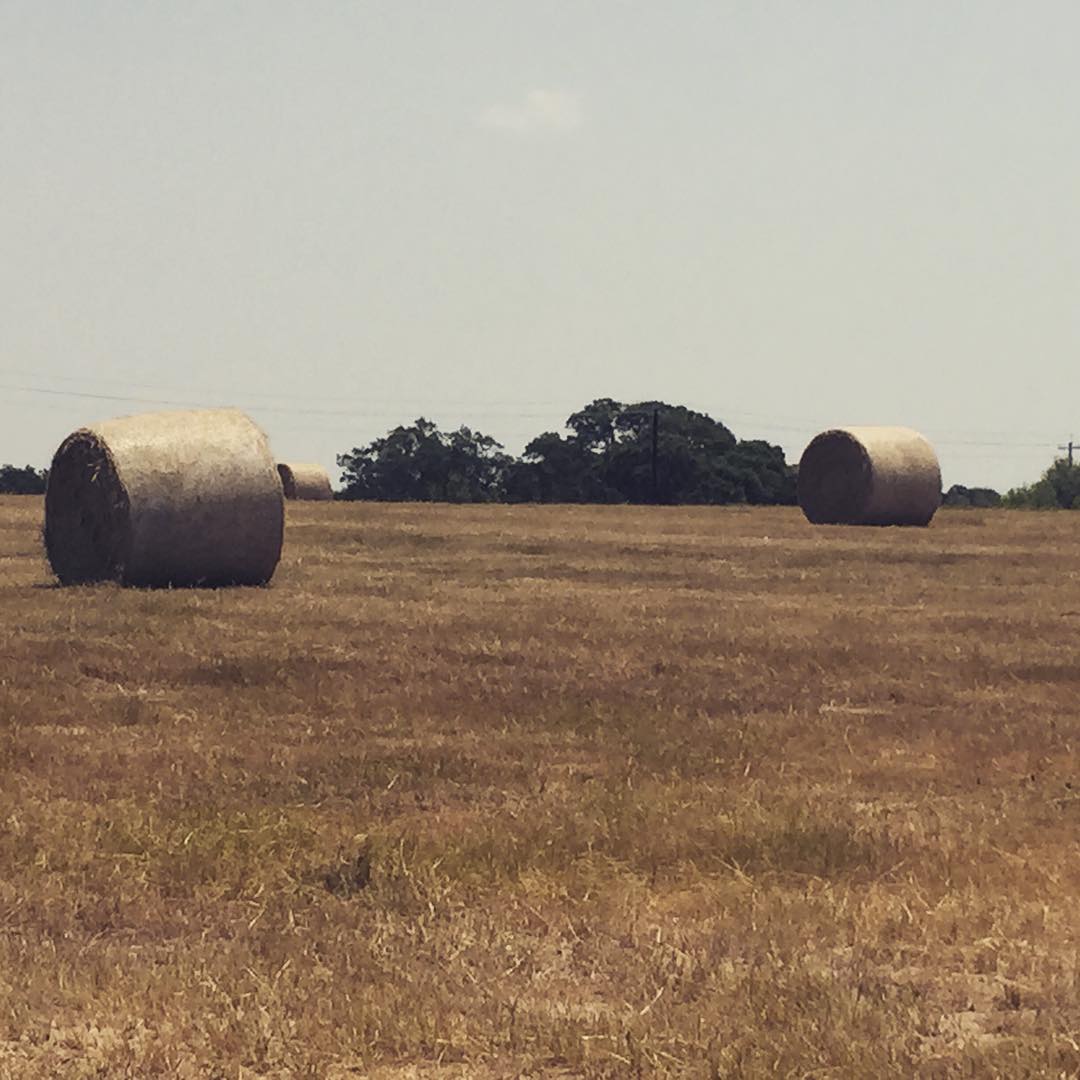
Hay is baled
Topographic Map of Coke St, Yoakum, TX, USA
Find elevation by address:

Places near Coke St, Yoakum, TX, USA:
305 Coke St
211 Price St
911 Coke St
913 Coke St
217 Price St
608 Henrietta St
800 Burt St
621 Aubrey St
203 Nelson St
Yoakum
900 Irvine St
Yoakum City Hall
FM, Yoakum, TX, USA
1089 Edgar-leesville Rd
Shiner
City of Hochheim Rd, Yoakum, TX, USA
1715 Cody Dr
US-90 ALT, Shiner, TX, USA
2592 Fm 1447
2592 Fm 1447
Recent Searches:
- Elevation of Corso Fratelli Cairoli, 35, Macerata MC, Italy
- Elevation of Tallevast Rd, Sarasota, FL, USA
- Elevation of 4th St E, Sonoma, CA, USA
- Elevation of Black Hollow Rd, Pennsdale, PA, USA
- Elevation of Oakland Ave, Williamsport, PA, USA
- Elevation of Pedrógão Grande, Portugal
- Elevation of Klee Dr, Martinsburg, WV, USA
- Elevation of Via Roma, Pieranica CR, Italy
- Elevation of Tavkvetili Mountain, Georgia
- Elevation of Hartfords Bluff Cir, Mt Pleasant, SC, USA