Elevation of Cobb, WI, USA
Location: United States > Wisconsin > Iowa County >
Longitude: -90.3295686
Latitude: 42.9674934
Elevation: -10000m / -32808feet
Barometric Pressure: 0KPa
Related Photos:

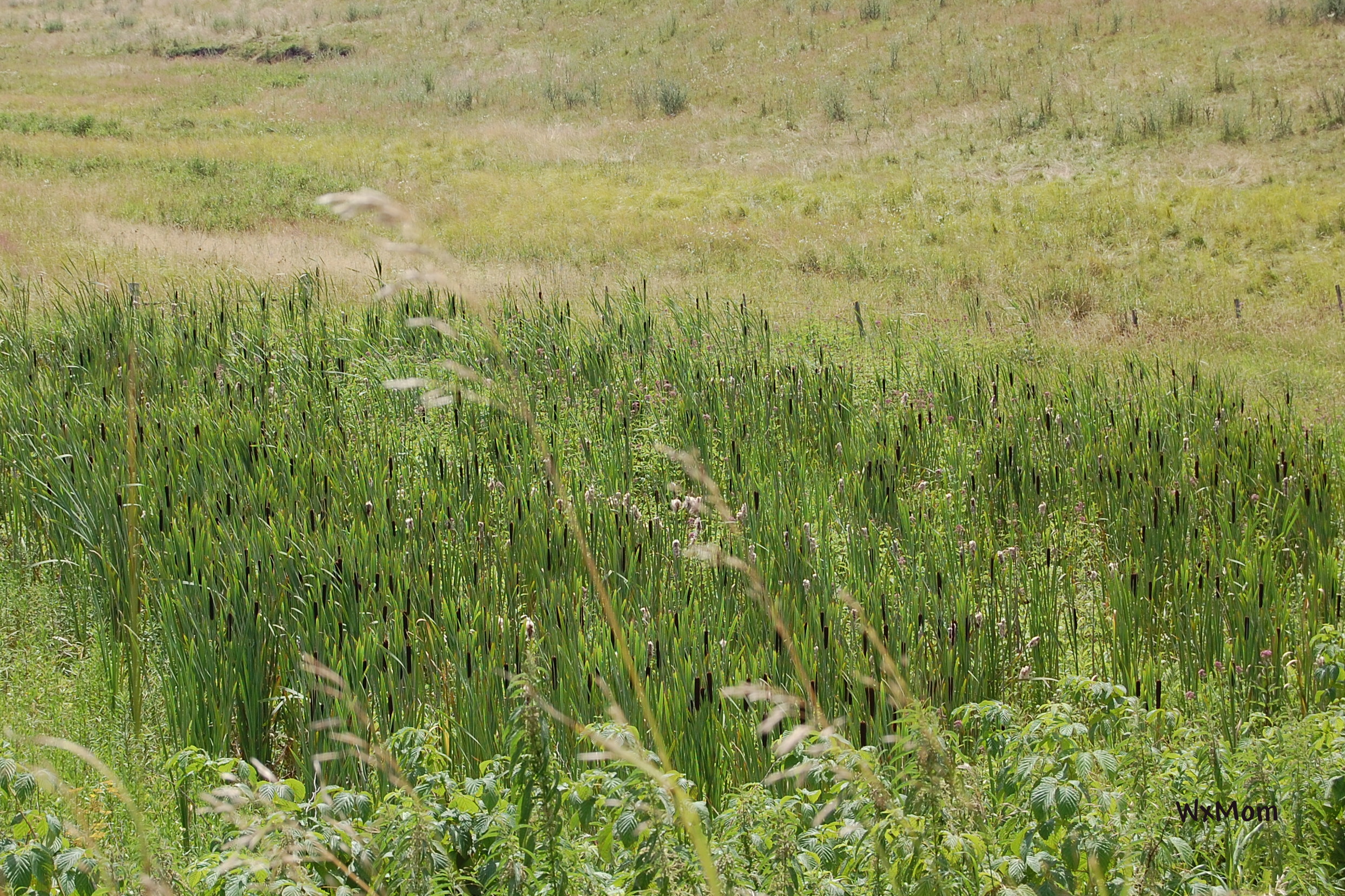
Going Green

Blowin in the wind

Dodgeville High School's checkout and computer work area

Green on Green

Creating the Future

Wisconsin Waterfall

Iowa County Prairie

Highland Farm II

Harvest - Explored

Frozen and Forgotten

Prairie Landscape

Beans in the field, Cobb, Wisconsin

Wisconsin Trout Stream Landscape

Snow Bottom State Natural Area

Dream World

Prairie Pic

The Pond

Prairie Pic

Queen Anne's Lace

photo 33

2013 LW Reunion - 86

Keo Springs School - rural Linden, WI
Iowa County Recreation and Prairie Restoration
Topographic Map of Cobb, WI, USA
Find elevation by address:

Places near Cobb, WI, USA:
Edmund
N Main St, Edmund, WI, USA
Highland
Linden
Montfort
Main St, Rewey, WI, USA
Rewey
Mineral Point
Westside
Clyde Rd, Avoca, WI, USA
303 W North St
4050 Copper St
Dodgeville
Avoca
Mineral Point
S Mound Ave, Belmont, WI, USA
Belmont
Dodgeville
Elizabeth St, Muscoda, WI, USA
Orion
Recent Searches:
- Elevation of Pasing, Munich, Bavaria, 81241, Germany
- Elevation of 24, Auburn Bay Crescent SE, Auburn Bay, Calgary, Alberta, T3M 0A6, Canada
- Elevation of Denver, 2314, Arapahoe Street, Five Points, Denver, Colorado, 80205, USA
- Elevation of Community of the Beatitudes, 2924, West 43rd Avenue, Sunnyside, Denver, Colorado, 80211, USA
- Elevation map of Litang County, Sichuan, China
- Elevation map of Madoi County, Qinghai, China
- Elevation of 3314, Ohio State Route 114, Payne, Paulding County, Ohio, 45880, USA
- Elevation of Sarahills Drive, Saratoga, Santa Clara County, California, 95070, USA
- Elevation of Town of Bombay, Franklin County, New York, USA
- Elevation of 9, Convent Lane, Center Moriches, Suffolk County, New York, 11934, USA
- Elevation of Saint Angelas Convent, 9, Convent Lane, Center Moriches, Suffolk County, New York, 11934, USA
- Elevation of 131st Street Southwest, Mukilteo, Snohomish County, Washington, 98275, USA
- Elevation of 304, Harrison Road, Naples, Cumberland County, Maine, 04055, USA
- Elevation of 2362, Timber Ridge Road, Harrisburg, Cabarrus County, North Carolina, 28075, USA
- Elevation of Ridge Road, Marshalltown, Marshall County, Iowa, 50158, USA
- Elevation of 2459, Misty Shadows Drive, Pigeon Forge, Sevier County, Tennessee, 37862, USA
- Elevation of 8043, Brightwater Way, Spring Hill, Williamson County, Tennessee, 37179, USA
- Elevation of Starkweather Road, San Luis, Costilla County, Colorado, 81152, USA
- Elevation of 5277, Woodside Drive, Baton Rouge, East Baton Rouge Parish, Louisiana, 70808, USA
- Elevation of 1139, Curtin Street, Shepherd Park Plaza, Houston, Harris County, Texas, 77018, USA