Elevation of Cobb Rd, Lewiston, MI, USA
Location: United States > Michigan > Montmorency County > Albert Township > Lewiston >
Longitude: -84.349096
Latitude: 44.8648238
Elevation: 391m / 1283feet
Barometric Pressure: 97KPa
Elevation Map:
Satellite Map:
Related Photos:

Sunset on the river - South view

Full Moon

Grayling State Forest Area, Michigan
The Backyard
AuSable State Forest, Michigan

10 minutes out of the car
Pickerel Lake in Crawford County, Michigan. August 2011.

West Twin Lake Lewiston, Mi
Up North
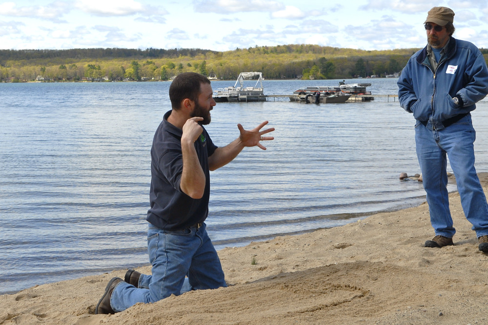
Lake Stewardship - 20
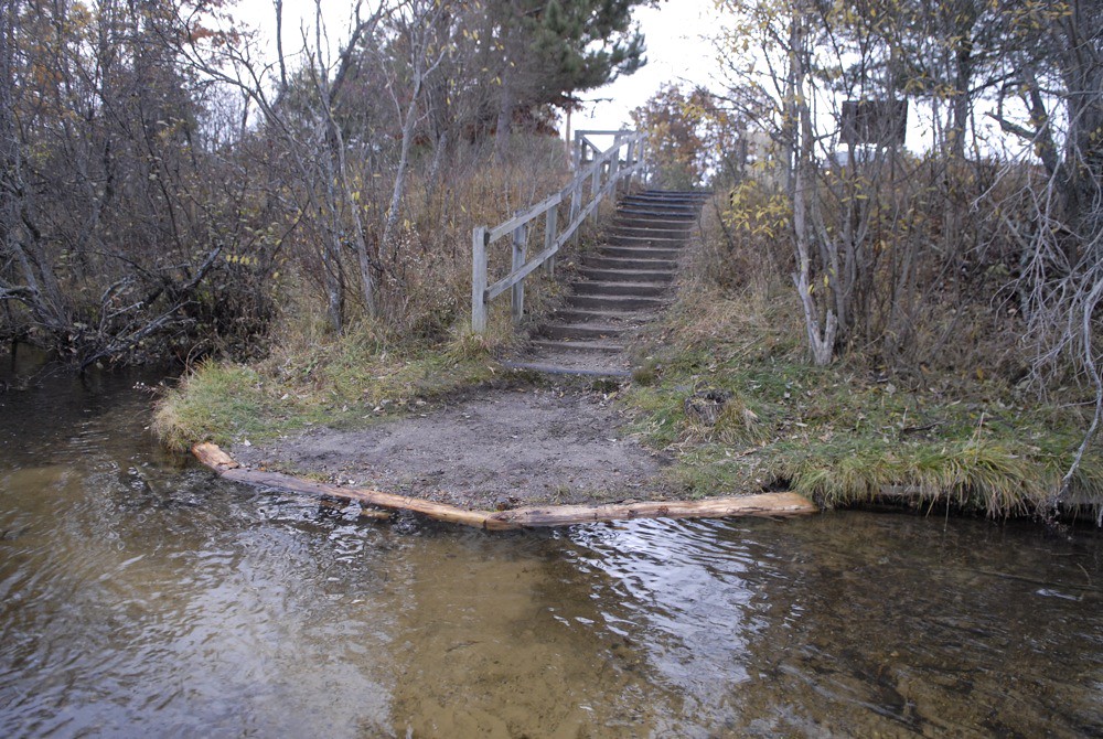
Restoration work on the North Branch, 2009 - 33
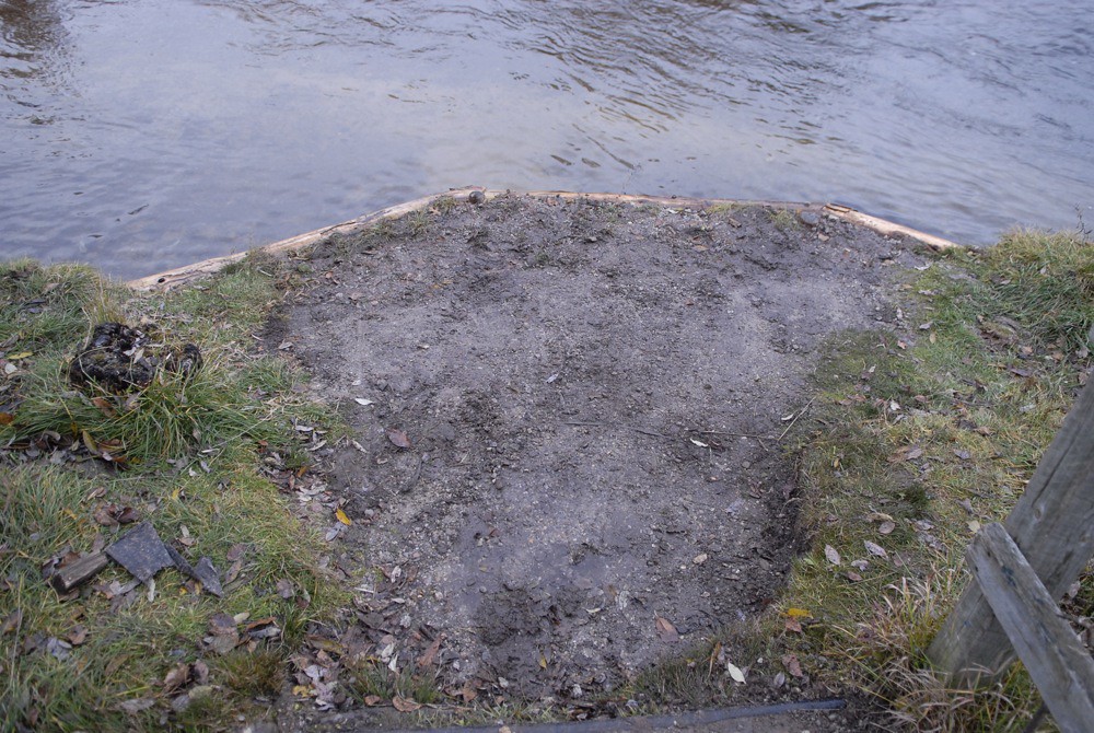
Restoration work on the North Branch, 2009 - 32
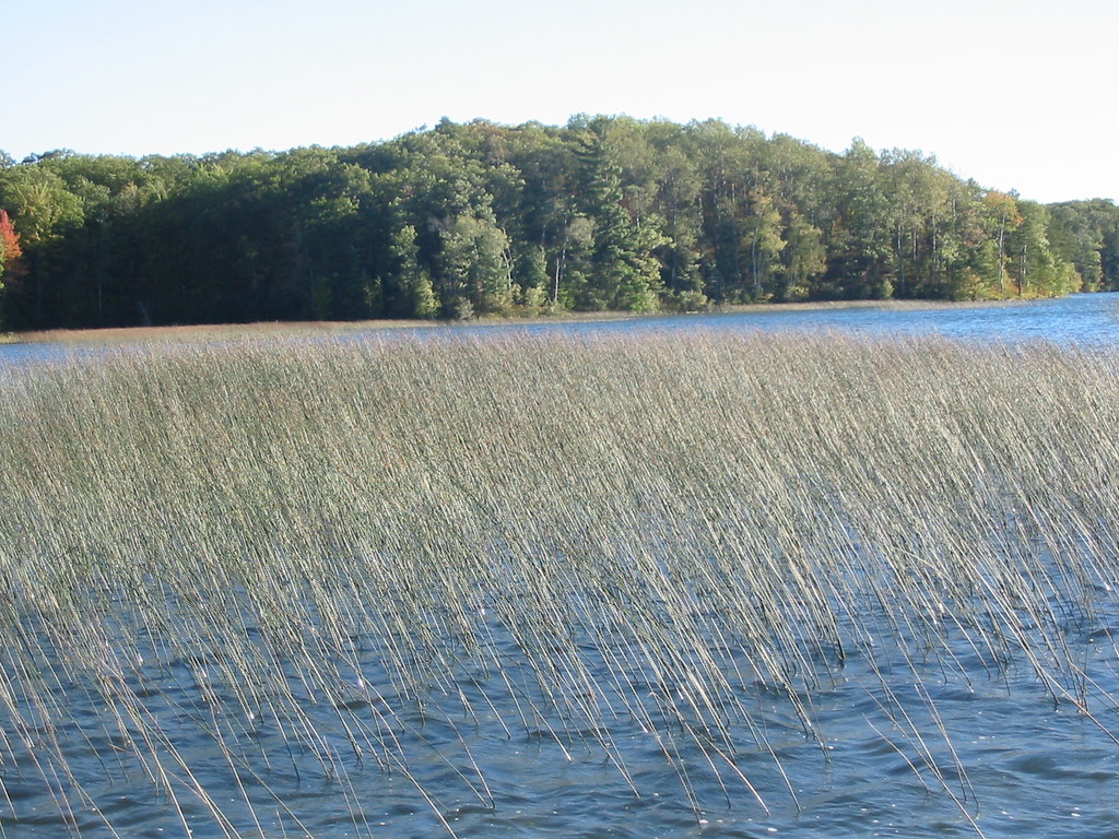
2004-10-02 Avery Lake

2004-10-02 Avery Lake

Loaded up

Beautiful day with towering clouds

North Branch of the Au Sable

Beatiful day on the North Branch

frosty webs
Topographic Map of Cobb Rd, Lewiston, MI, USA
Find elevation by address:

Places near Cobb Rd, Lewiston, MI, USA:
2241 Cobb Rd
2241 Cobb Rd
4791 Comstock Trail
Lewiston
Albert Township
2205 Fox Dr
5266 Woodridge Rd
Greenwood Township
7771 Co Rd 489
7771 Co Rd 489
7771 Co Rd 489
Avery Lake
West Cherry Creek Road
10208 Co Rd 487
1804 Deeter Rd
Luzerne
2301 Royce Ave
2301 Royce Ave
Oscoda County
1576 N Perry Creek Rd
Recent Searches:
- Elevation of Corso Fratelli Cairoli, 35, Macerata MC, Italy
- Elevation of Tallevast Rd, Sarasota, FL, USA
- Elevation of 4th St E, Sonoma, CA, USA
- Elevation of Black Hollow Rd, Pennsdale, PA, USA
- Elevation of Oakland Ave, Williamsport, PA, USA
- Elevation of Pedrógão Grande, Portugal
- Elevation of Klee Dr, Martinsburg, WV, USA
- Elevation of Via Roma, Pieranica CR, Italy
- Elevation of Tavkvetili Mountain, Georgia
- Elevation of Hartfords Bluff Cir, Mt Pleasant, SC, USA