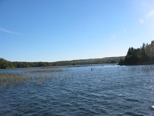
Elevation of Avery Lake, Albert Township, MI, USA
Location: United States > Michigan > Montmorency County > Albert Township >
Longitude: -84.191929
Latitude: 44.9330593
Elevation: 269m / 883feet
Barometric Pressure: 98KPa
Related Photos:
Topographic Map of Avery Lake, Albert Township, MI, USA
Find elevation by address:

Places near Avery Lake, Albert Township, MI, USA:
7771 Co Rd 489
7771 Co Rd 489
7771 Co Rd 489
10208 Co Rd 487
2205 Fox Dr
Albert Township
Lewiston
5266 Woodridge Rd
Avery Township
4791 Comstock Trail
2241 Cobb Rd
2241 Cobb Rd
2241 Cobb Rd
Greenwood Township
2764 N Abbe Rd
2593 N Abbe Rd
1576 N Perry Creek Rd
2593 N Abbe Rd
Kauffman Rd, Fairview, MI, USA
Fairview
Recent Searches:
- Elevation of Corso Fratelli Cairoli, 35, Macerata MC, Italy
- Elevation of Tallevast Rd, Sarasota, FL, USA
- Elevation of 4th St E, Sonoma, CA, USA
- Elevation of Black Hollow Rd, Pennsdale, PA, USA
- Elevation of Oakland Ave, Williamsport, PA, USA
- Elevation of Pedrógão Grande, Portugal
- Elevation of Klee Dr, Martinsburg, WV, USA
- Elevation of Via Roma, Pieranica CR, Italy
- Elevation of Tavkvetili Mountain, Georgia
- Elevation of Hartfords Bluff Cir, Mt Pleasant, SC, USA


