Elevation of Co Rd, Stephenville, TX, USA
Location: United States > Texas > Erath County > Stephenville >
Longitude: -98.216330
Latitude: 32.3502221
Elevation: 380m / 1247feet
Barometric Pressure: 97KPa
Related Photos:

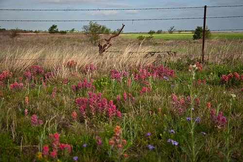
Most of you probably won't read all of this, but this is a picture is one to remember for me. It all started with my curiosity after seeing a greatly lit photo opportunity. Driving down W McNeil St in Stephenville, Tx, I saw in a sort of fenced off, not f

Good morning! Hope everyone has a great Sunday before going back to the weekly routine. #itsamazingoutthere #rainbow #lightrefraction #texas #sunset #cantbeatthem #countryside #cameroncookphotography
Topographic Map of Co Rd, Stephenville, TX, USA
Find elevation by address:

Places near Co Rd, Stephenville, TX, USA:
TX-, Stephenville, TX, USA
TX-, Stephenville, TX, USA
Pr 719
Farm To Market Road 3208
1775 Sunset Mountain Rd
1775 Sunset Mountain Rd
County Road 120
775 Co Rd 149
775 Co Rd 149
Bluff Dale
County Road 109
TX-, Gordon, TX, USA
Morgan Mill Highway
D Bar C Ranch
Lipan
E Lipan Dr, Lipan, TX, USA
512 E Cedar St
Gordon
FM 4, Santo, TX, USA
Santo
Recent Searches:
- Elevation of Corso Fratelli Cairoli, 35, Macerata MC, Italy
- Elevation of Tallevast Rd, Sarasota, FL, USA
- Elevation of 4th St E, Sonoma, CA, USA
- Elevation of Black Hollow Rd, Pennsdale, PA, USA
- Elevation of Oakland Ave, Williamsport, PA, USA
- Elevation of Pedrógão Grande, Portugal
- Elevation of Klee Dr, Martinsburg, WV, USA
- Elevation of Via Roma, Pieranica CR, Italy
- Elevation of Tavkvetili Mountain, Georgia
- Elevation of Hartfords Bluff Cir, Mt Pleasant, SC, USA

