Elevation of Co Rd, Selma, AL, USA
Location: United States > Alabama > Dallas County > Selma >
Longitude: -86.9494
Latitude: 32.5683
Elevation: 135m / 443feet
Barometric Pressure: 100KPa
Elevation Map:
Satellite Map:
Related Photos:

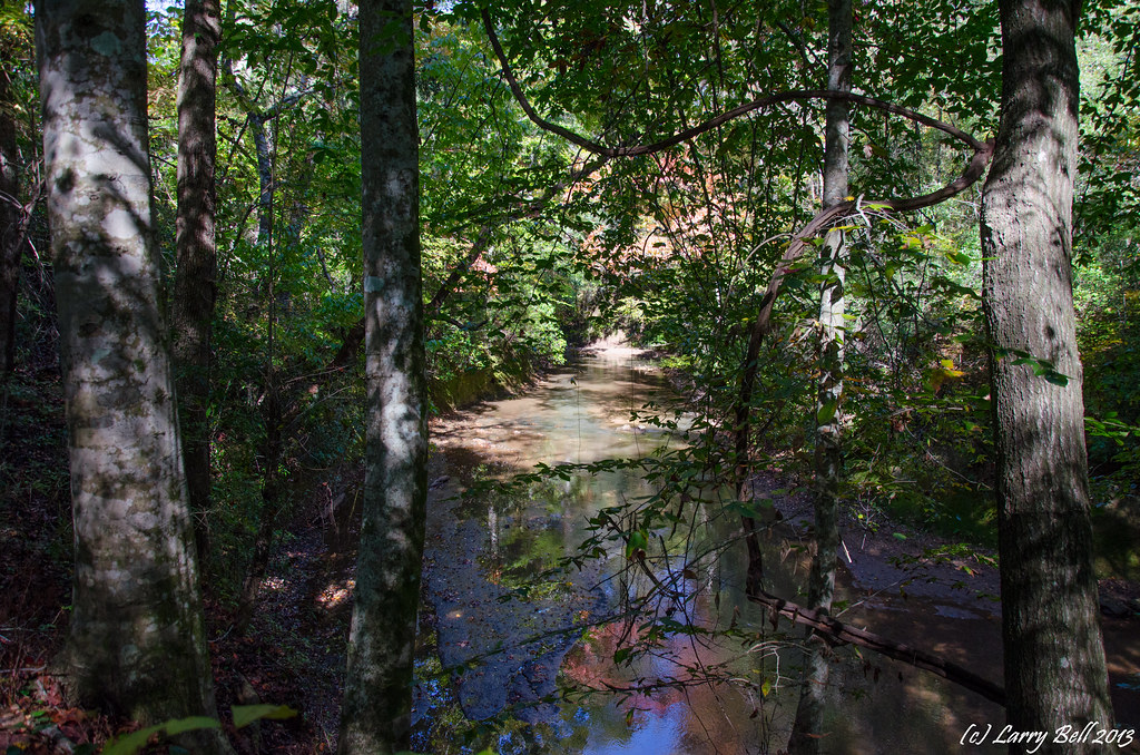
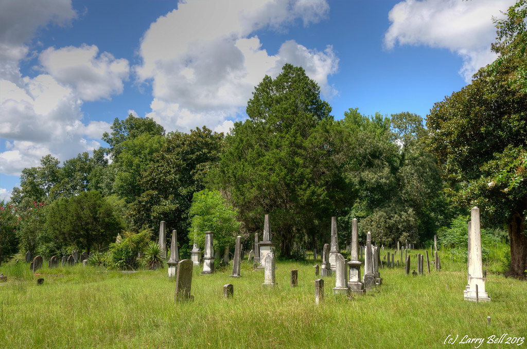
dsc_2608-2

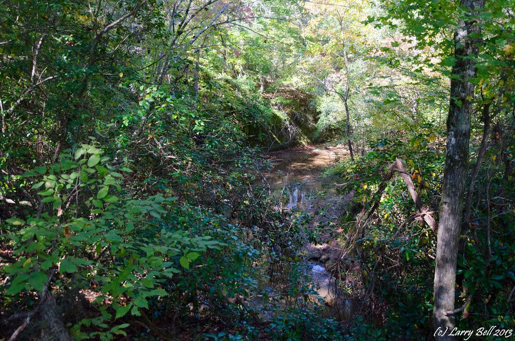
Grist Lake Selma Alabama

_DSC0392.jpg

_DSC0391.jpg

_DSC0382.jpg

_DSC0381.jpg

_DSC0361.jpg

_DSC0336.jpg

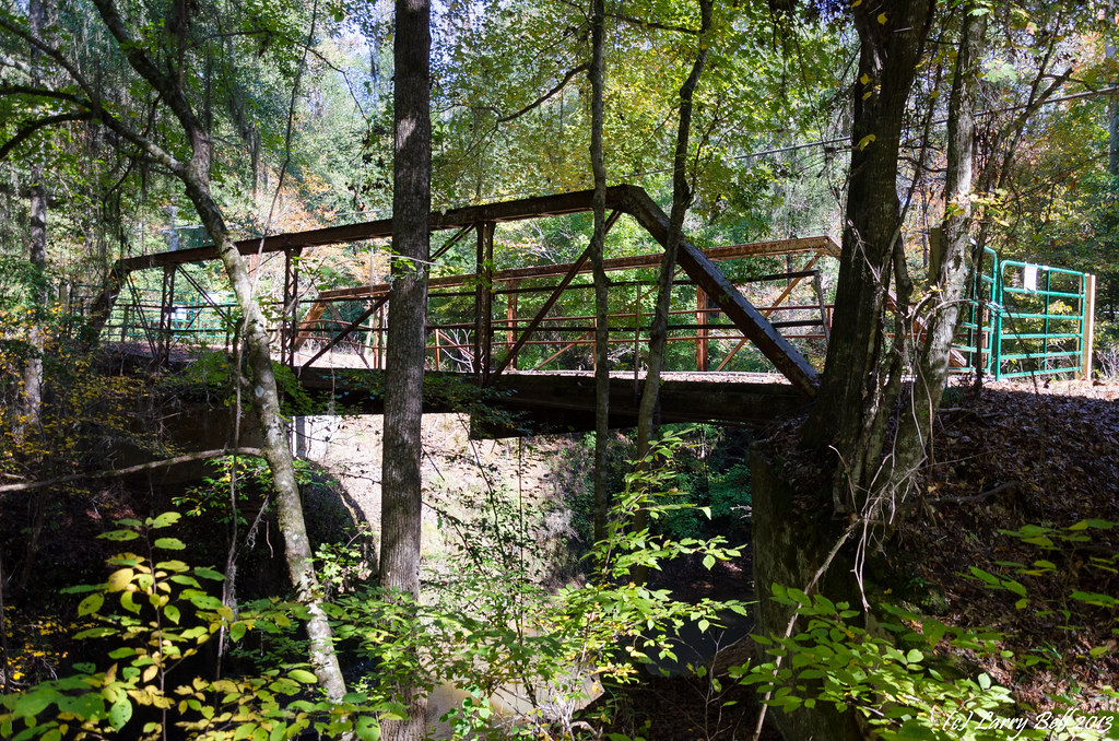
Selma, AL - Kenan's Mill

Selma, AL - Kenan's Mill
_DSC0122.jpg
_DSC0118.jpg
_DSC0116.jpg
_DSC0887_1.jpg

_DSC0847_1.jpg
_DSC0846_1.jpg
_DSC0845_1.jpg
_DSC0844_1.jpg

_DSC0442_1.jpg

_DSC0424_1.jpg
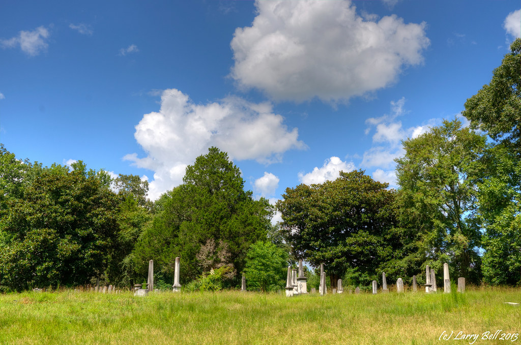
_DSC0888.jpg
Topographic Map of Co Rd, Selma, AL, USA
Find elevation by address:

Places near Co Rd, Selma, AL, USA:
Plantersville, AL, USA
Jones
Autauga County 88, Autaugaville, AL, USA
Co Rd, Jones, AL, USA
Valley Grande
Co Rd 81, Valley Grande, AL, USA
Oak St, Plantersville, AL, USA
Plantersville
Co Rd 22, Clanton, AL, USA
County Rd 1 N, Billingsley, AL, USA
400 Kingsley Dr
International Paper
396 Birch Ave
601 Co Rd 78
Selma
500 Dallas Ave
County Rd 45 N, Autaugaville, AL, USA
1085 Foxhall Rd
Co Rd 44, Selma, AL, USA
6485 Co Rd 77
Recent Searches:
- Elevation of Corso Fratelli Cairoli, 35, Macerata MC, Italy
- Elevation of Tallevast Rd, Sarasota, FL, USA
- Elevation of 4th St E, Sonoma, CA, USA
- Elevation of Black Hollow Rd, Pennsdale, PA, USA
- Elevation of Oakland Ave, Williamsport, PA, USA
- Elevation of Pedrógão Grande, Portugal
- Elevation of Klee Dr, Martinsburg, WV, USA
- Elevation of Via Roma, Pieranica CR, Italy
- Elevation of Tavkvetili Mountain, Georgia
- Elevation of Hartfords Bluff Cir, Mt Pleasant, SC, USA