Elevation of County Rd 45 N, Autaugaville, AL, USA
Location: United States > Alabama > Autauga County > Autaugaville >
Longitude: -86.770476
Latitude: 32.516059
Elevation: 148m / 486feet
Barometric Pressure: 100KPa
Elevation Map:
Satellite Map:
Related Photos:
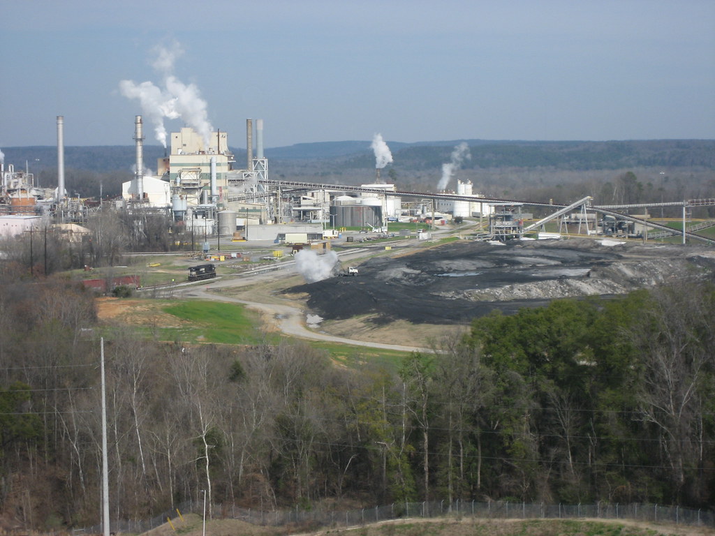
Selma Grain Elevator
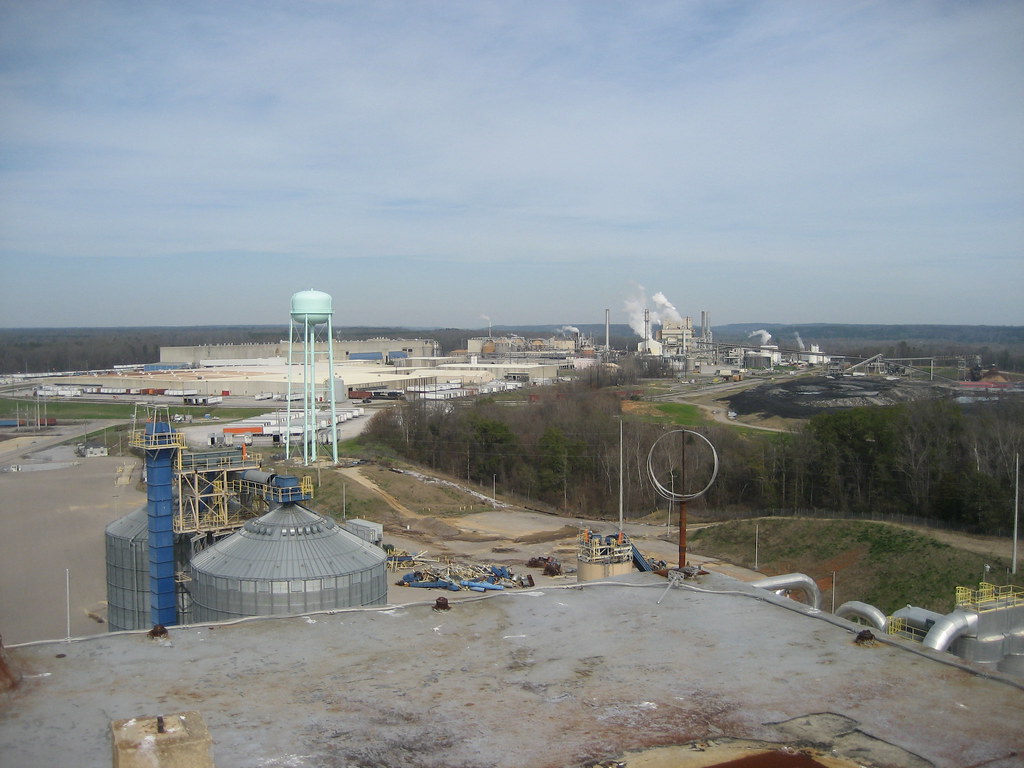
Selma Grain Elevator
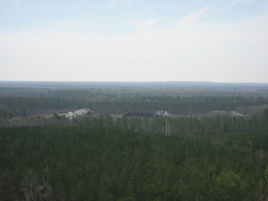
Selma Grain Elevator

Camouflage Moth
Topographic Map of County Rd 45 N, Autaugaville, AL, USA
Find elevation by address:

Places near County Rd 45 N, Autaugaville, AL, USA:
County Rd 1 N, Billingsley, AL, USA
1867 County Rd 40
2956 Us-82
2956 Us-82
2956 Us-82
County Rd 9 S, Autaugaville, AL, USA
Autauga County 88, Autaugaville, AL, USA
806 Henderson Landing Rd
601 Co Rd 78
Co Rd 22, Clanton, AL, USA
Co Rd 46, Prattville, AL, USA
Autaugaville
Autaugaville
Autaugaville
Autaugaville
Autaugaville
Jones
County Rd 21 N, Autaugaville, AL, USA
Billingsley
Co Rd, Jones, AL, USA
Recent Searches:
- Elevation of Corso Fratelli Cairoli, 35, Macerata MC, Italy
- Elevation of Tallevast Rd, Sarasota, FL, USA
- Elevation of 4th St E, Sonoma, CA, USA
- Elevation of Black Hollow Rd, Pennsdale, PA, USA
- Elevation of Oakland Ave, Williamsport, PA, USA
- Elevation of Pedrógão Grande, Portugal
- Elevation of Klee Dr, Martinsburg, WV, USA
- Elevation of Via Roma, Pieranica CR, Italy
- Elevation of Tavkvetili Mountain, Georgia
- Elevation of Hartfords Bluff Cir, Mt Pleasant, SC, USA