Elevation of Co Rd HH, Lamar, CO, USA
Location: United States > Colorado > Prowers County > Lamar >
Longitude: -102.69159
Latitude: 38.0851416
Elevation: 1115m / 3658feet
Barometric Pressure: 89KPa
Elevation Map:
Satellite Map:
Related Photos:
Southwest Chief
Southwest Chief

Southwest Chief

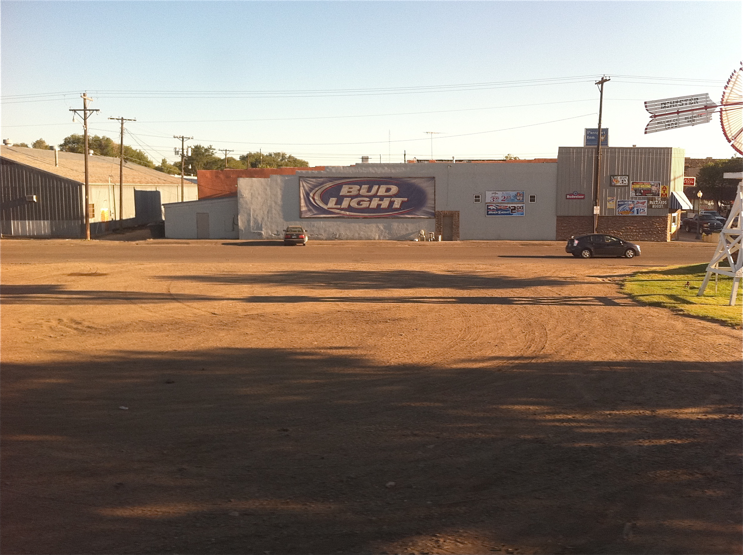
Southwest Chief Lamar, Colorado

Cows!

Golden-winged Warbler

Golden-winged Warbler
Establishing Shot - Lamar Community College, Prowers County, CO - May 2015

IMG_9826.jpg

Molting Season (1 of 1)
Mirage or is it water on the horizon?
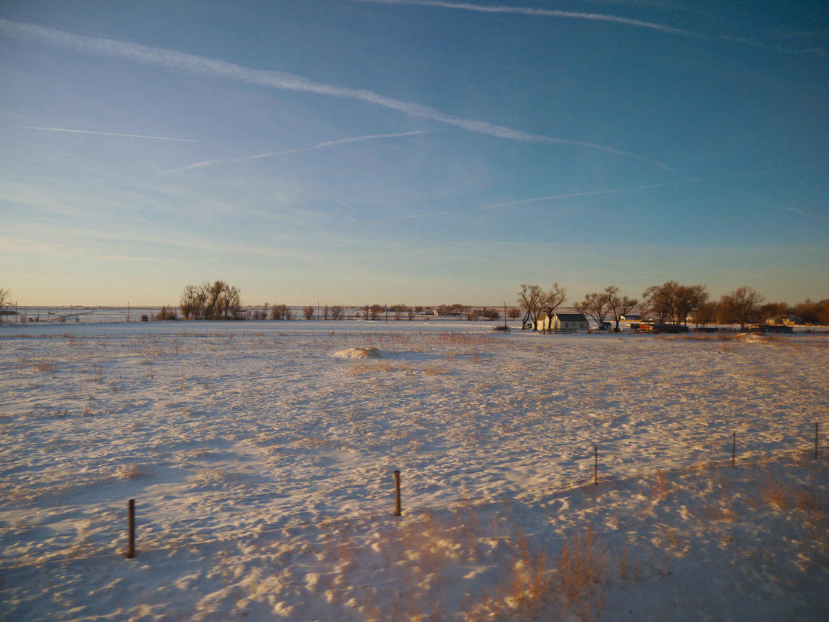
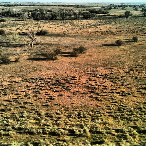
The Fields of Prowers County
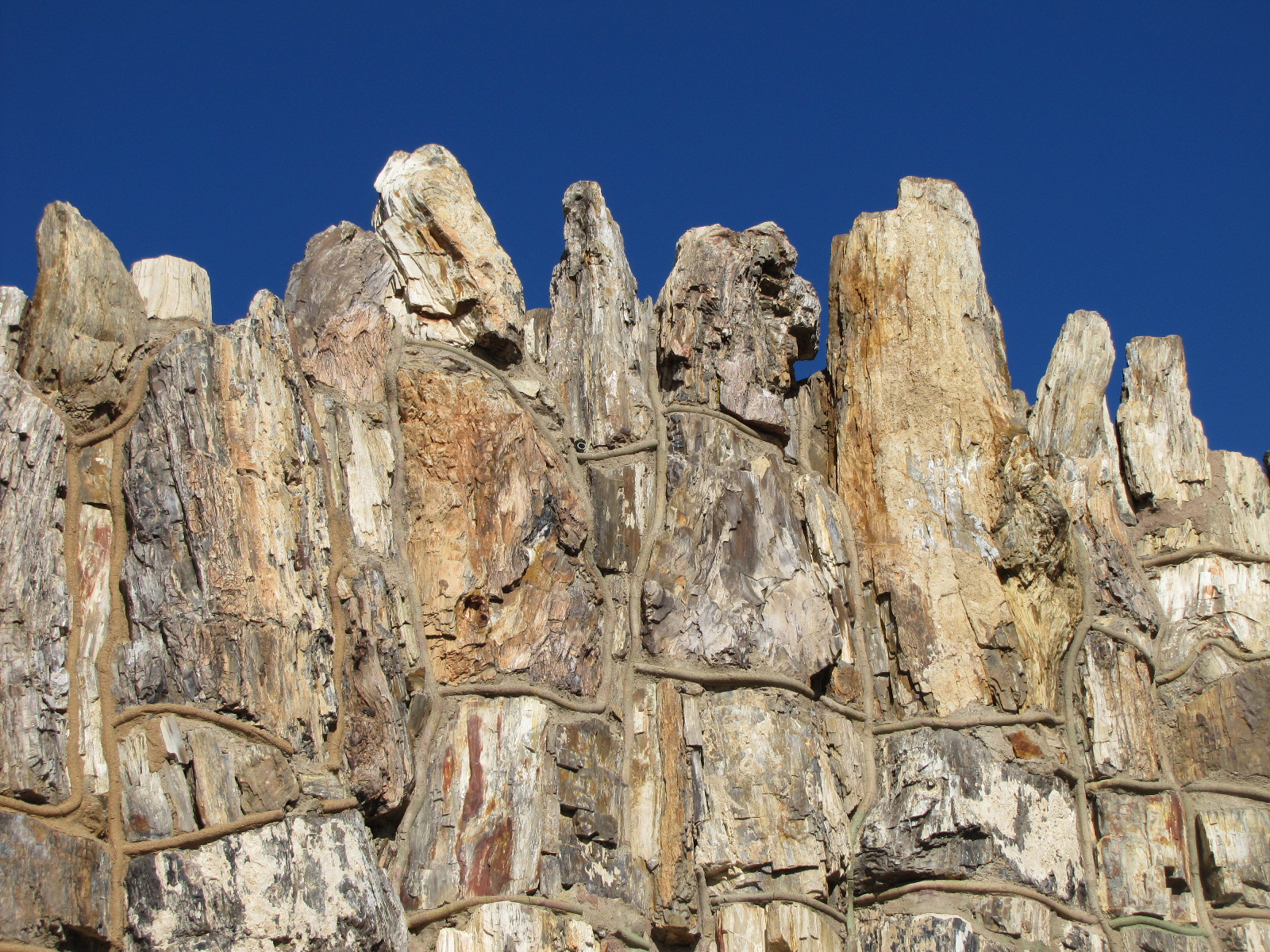
Petrified Wood Building (2 of 4)
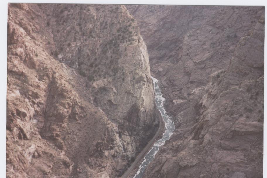
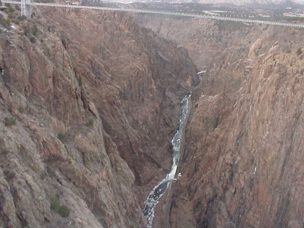
deep canyon huh!
wow!! that's huge!!
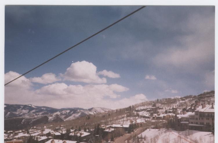
the landscapes

Bent County, Colorado
MVC-190L
New lands
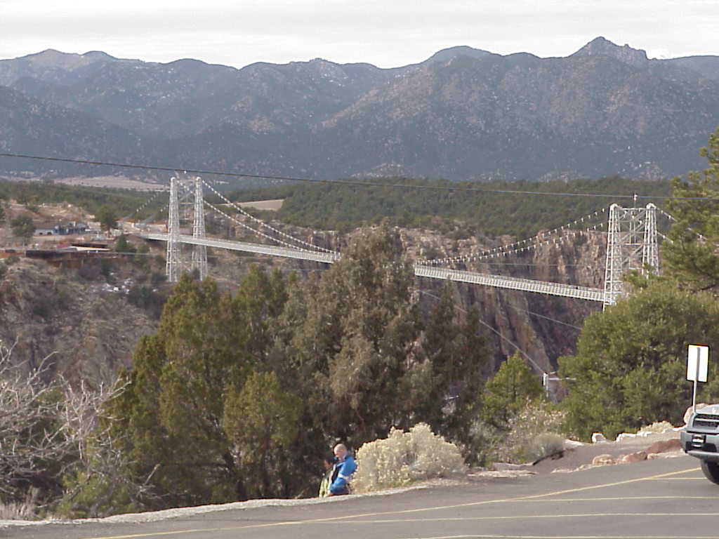
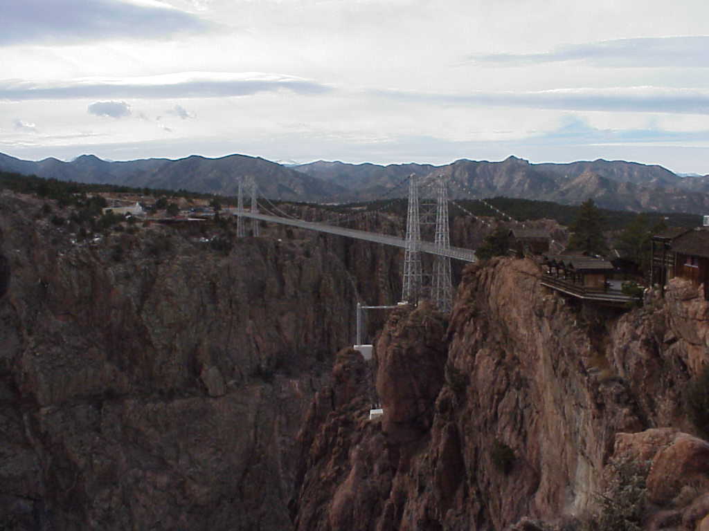
bridge in royal gorge
Topographic Map of Co Rd HH, Lamar, CO, USA
Find elevation by address:

Places near Co Rd HH, Lamar, CO, USA:
Wiley
County Rd 34.5, Lamar, CO, USA
Co Rd 34, McClave, CO, USA
Co Rd SS, Wiley, CO, USA
Able
County Rd LL, McClave, CO, USA
Hasty
Caddoa
Kiowa County
John Martin Reservoir
John Martin Reservoir State Park
Bent County
Eads
Maine St, Eads, CO, USA
CO-, Las Animas, CO, USA
Las Animas
1023 Grand Ave
3rd St, Haswell, CO, USA
Haswell
Kit Carson
Recent Searches:
- Elevation of Corso Fratelli Cairoli, 35, Macerata MC, Italy
- Elevation of Tallevast Rd, Sarasota, FL, USA
- Elevation of 4th St E, Sonoma, CA, USA
- Elevation of Black Hollow Rd, Pennsdale, PA, USA
- Elevation of Oakland Ave, Williamsport, PA, USA
- Elevation of Pedrógão Grande, Portugal
- Elevation of Klee Dr, Martinsburg, WV, USA
- Elevation of Via Roma, Pieranica CR, Italy
- Elevation of Tavkvetili Mountain, Georgia
- Elevation of Hartfords Bluff Cir, Mt Pleasant, SC, USA