Elevation of Co Rd, Garwood, TX, USA
Location: United States > Texas > Colorado County > Garwood >
Longitude: -96.586983
Latitude: 29.3991057
Elevation: 51m / 167feet
Barometric Pressure: 101KPa
Elevation Map:
Satellite Map:
Related Photos:

TX14C5246

Fireworks 5

Fireworks 2

Fireworks 3

Fireworks 4
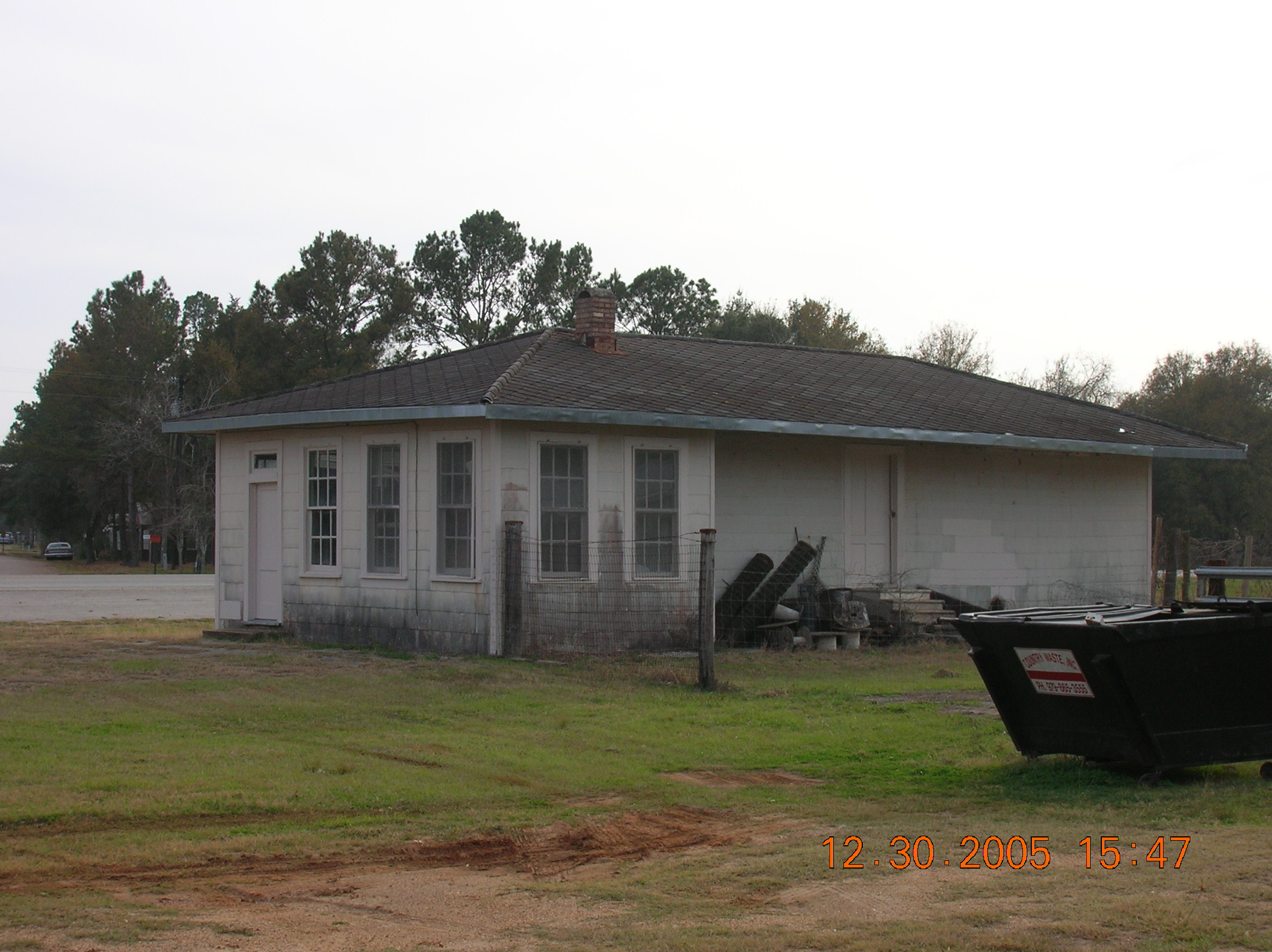
Sheridan depot
Topographic Map of Co Rd, Garwood, TX, USA
Find elevation by address:

Places near Co Rd, Garwood, TX, USA:
2614 Co Rd 164
2624 Sandy Creek Rd
Sheridan, TX, USA
County Road 122
Speaks
Garwood
Main St, El Campo, TX, USA
Nada
Sugarland Rd, Eagle Lake, TX, USA
Lavaca County
5150 Co Rd 15
600 Co Rd 15
Strickland Ln, Eagle Lake, TX, USA
US-90 ALT, Hallettsville, TX, USA
Louise
Wharton St, Louise, TX, USA
5909 West Loop
5959 West Loop
5959 West Loop
5200 West Loop
Recent Searches:
- Elevation of Corso Fratelli Cairoli, 35, Macerata MC, Italy
- Elevation of Tallevast Rd, Sarasota, FL, USA
- Elevation of 4th St E, Sonoma, CA, USA
- Elevation of Black Hollow Rd, Pennsdale, PA, USA
- Elevation of Oakland Ave, Williamsport, PA, USA
- Elevation of Pedrógão Grande, Portugal
- Elevation of Klee Dr, Martinsburg, WV, USA
- Elevation of Via Roma, Pieranica CR, Italy
- Elevation of Tavkvetili Mountain, Georgia
- Elevation of Hartfords Bluff Cir, Mt Pleasant, SC, USA