Elevation of Strickland Ln, Eagle Lake, TX, USA
Location: United States > Texas > Colorado County > Eagle Lake >
Longitude: -96.322689
Latitude: 29.499379
Elevation: 53m / 174feet
Barometric Pressure: 101KPa
Elevation Map:
Satellite Map:
Related Photos:

Old Church With Red Doors

Old Store In Egypt

Abandoned Church
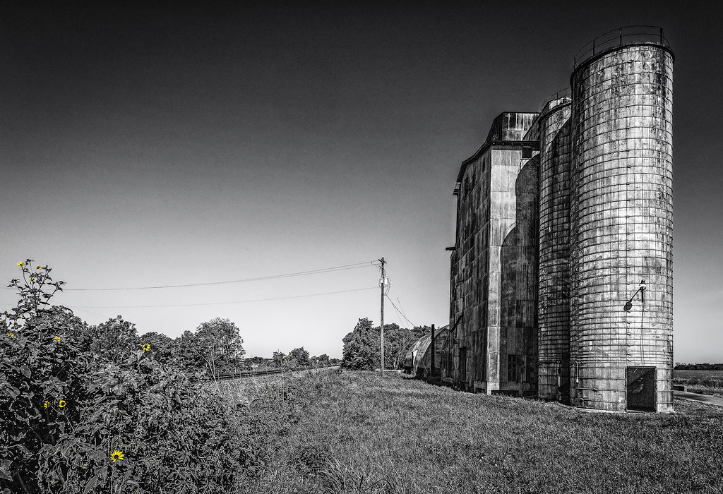
Abandoned Rice Silos

Super Dave's Tire

Super Dave's Tire

The Lights Are Off At Super Dave's

Dead Tree At The Silo

The Texas Engine That DID
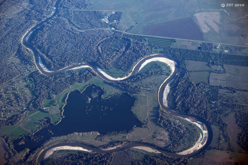
Colorado Point Bars
IMGP0241
R0013769
R0013777
Topographic Map of Strickland Ln, Eagle Lake, TX, USA
Find elevation by address:

Places near Strickland Ln, Eagle Lake, TX, USA:
County Road 250
4004 Peach Creek Dr
18546 Co Rd 270
Wharton County
El Campo, Tx
3514 Susan Cir
East Bernard
US-90 ALT, East Bernard, TX, USA
East Bernard Road
Hungerford
2535 County Rd 201
16308 Jackson Rd
Engbrock Road
401 Lum Rd
Kendleton
5021 County Rd 121
3825 Donaldson Rd
5300 Boyett Dr
Patty Lane
5545 Boyett Dr
Recent Searches:
- Elevation of Corso Fratelli Cairoli, 35, Macerata MC, Italy
- Elevation of Tallevast Rd, Sarasota, FL, USA
- Elevation of 4th St E, Sonoma, CA, USA
- Elevation of Black Hollow Rd, Pennsdale, PA, USA
- Elevation of Oakland Ave, Williamsport, PA, USA
- Elevation of Pedrógão Grande, Portugal
- Elevation of Klee Dr, Martinsburg, WV, USA
- Elevation of Via Roma, Pieranica CR, Italy
- Elevation of Tavkvetili Mountain, Georgia
- Elevation of Hartfords Bluff Cir, Mt Pleasant, SC, USA