Elevation of Co Rd, Gardner, CO, USA
Location: United States > Colorado > Gardner >
Longitude: -105.08532
Latitude: 37.7997839
Elevation: 2165m / 7103feet
Barometric Pressure: 78KPa
Elevation Map:
Satellite Map:
Related Photos:

View Sangre De Cristo Mountains from home dome
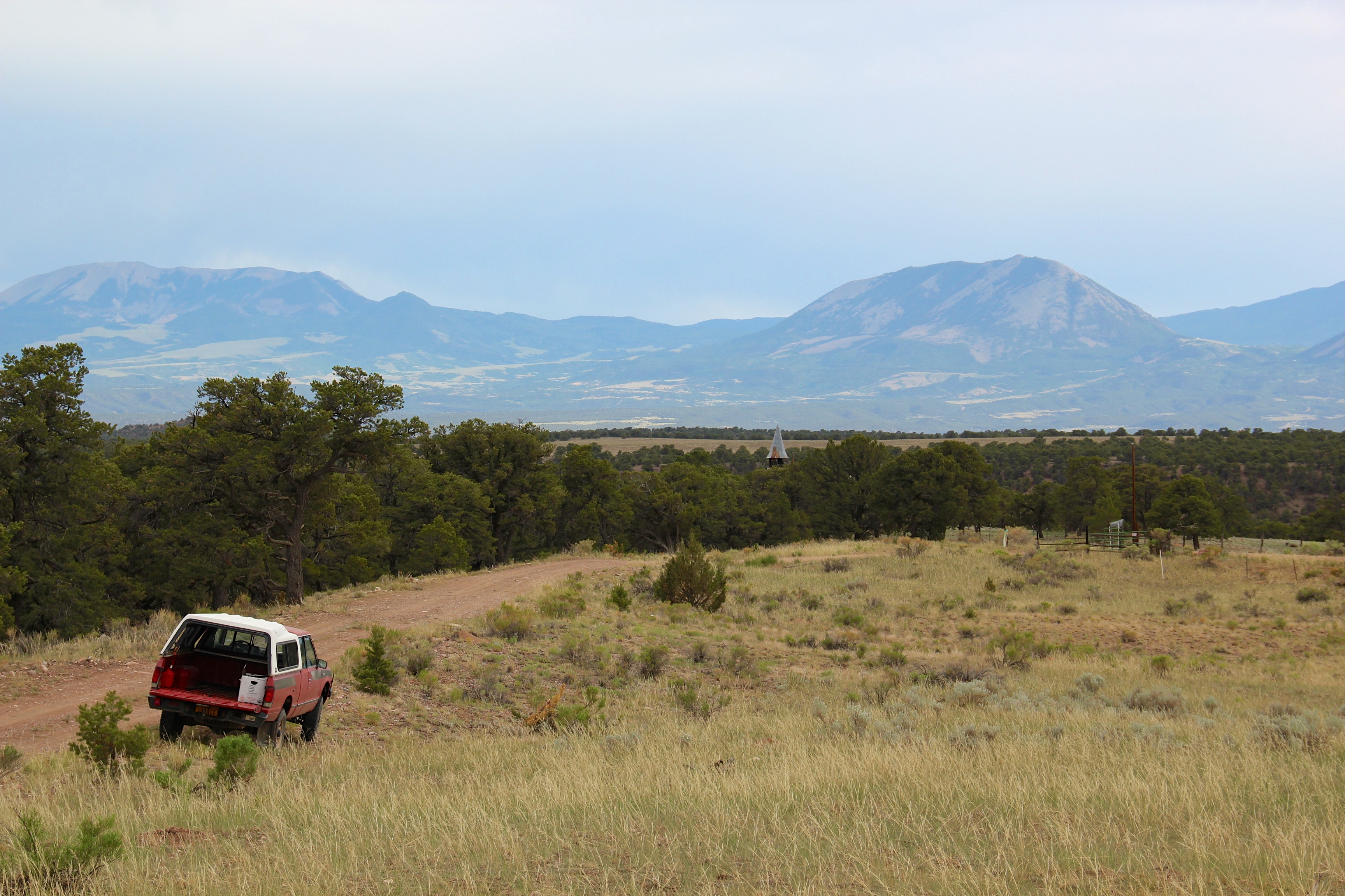
Gardner and Sangre De Cristo Mountains
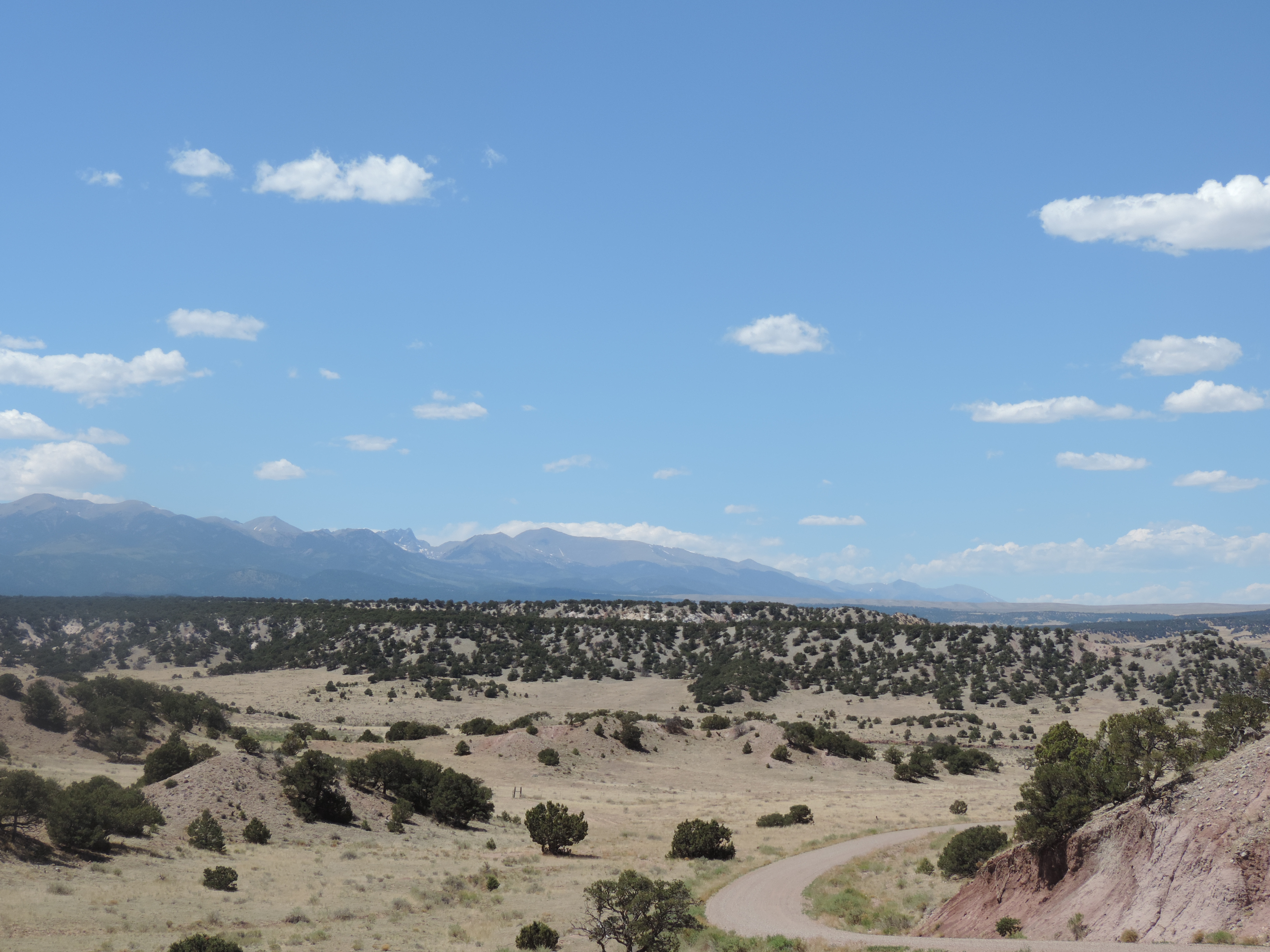
Wet Mountains Valley-19

Wet Mountains Valley-20

Wet Mountains Valley-18

willow-graminod-spruce

trans am trail CO

Camera Roll-108

Camera Roll-107

graminoid-willow-spruce
Topographic Map of Co Rd, Gardner, CO, USA
Find elevation by address:

Places near Co Rd, Gardner, CO, USA:
Greenhorn Mountain
11006 Bartlett Trail
10519 N Seymour Ln
10795 Bartlett Trail Rd
Bartlett Trail Road
North Seymour Lane
10794 Decker Cir
8552 Cuerna Verde Rd
Larry Lane
8522 Cuerna Verde Rd
8338 Zorn Rd
8350 Mariposa Ave
8473 Co-165
10701 Bartlett Trail
10225 Bluebell Ln
8278 Green Ln
10364 Linger Longer Ln
8276 Park Rd
8142 Birch Dr
8230 Park Rd
Recent Searches:
- Elevation of Corso Fratelli Cairoli, 35, Macerata MC, Italy
- Elevation of Tallevast Rd, Sarasota, FL, USA
- Elevation of 4th St E, Sonoma, CA, USA
- Elevation of Black Hollow Rd, Pennsdale, PA, USA
- Elevation of Oakland Ave, Williamsport, PA, USA
- Elevation of Pedrógão Grande, Portugal
- Elevation of Klee Dr, Martinsburg, WV, USA
- Elevation of Via Roma, Pieranica CR, Italy
- Elevation of Tavkvetili Mountain, Georgia
- Elevation of Hartfords Bluff Cir, Mt Pleasant, SC, USA