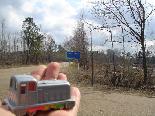
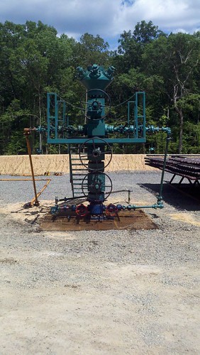
Elevation of Co Rd, Emerson, AR, USA
Location: United States > Arkansas > Columbia County > Emerson Township > Emerson >
Longitude: -93.186065
Latitude: 33.069064
Elevation: 91m / 299feet
Barometric Pressure: 100KPa
Related Photos:
Topographic Map of Co Rd, Emerson, AR, USA
Find elevation by address:

Places near Co Rd, Emerson, AR, USA:
Emerson
Emerson Township
Columbia County
Columbia Road 7, Emerson, AR, USA
AR-98, Magnolia, AR, USA
LA-, Haynesville, LA, USA
E Columbia Rd 8, Emerson, AR, USA
Columbia Rd, Emerson, AR, USA
Atlanta
Columbia Rd 11 E, Magnolia, AR, USA
40 Columbia Rd 25
Columbia Rd 25, Magnolia, AR, USA
Magnolia Township
Columbia Road 15, Magnolia, AR, USA
Magnolia
Columbia Rd 19, Taylor, AR, USA
Columbia Rd 61, Magnolia, AR, USA
AR-98, Magnolia, AR, USA
US-, Magnolia, AR, USA
Columbia Rd 61, Magnolia, AR, USA
Recent Searches:
- Elevation of Corso Fratelli Cairoli, 35, Macerata MC, Italy
- Elevation of Tallevast Rd, Sarasota, FL, USA
- Elevation of 4th St E, Sonoma, CA, USA
- Elevation of Black Hollow Rd, Pennsdale, PA, USA
- Elevation of Oakland Ave, Williamsport, PA, USA
- Elevation of Pedrógão Grande, Portugal
- Elevation of Klee Dr, Martinsburg, WV, USA
- Elevation of Via Roma, Pieranica CR, Italy
- Elevation of Tavkvetili Mountain, Georgia
- Elevation of Hartfords Bluff Cir, Mt Pleasant, SC, USA

