Elevation of Co Rd, Durango, CO, USA
Location: United States > Colorado > Durango >
Longitude: -107.87941
Latitude: 37.117559
Elevation: 1893m / 6211feet
Barometric Pressure: 81KPa
Elevation Map:
Satellite Map:
Related Photos:

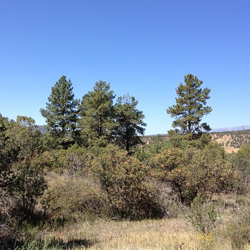
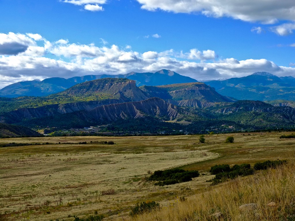
La Plata Mountains from South of Durango, Colorado

La Plata Mountains from South of Durango, Colorado

D&RGW "San Juan" (View 2)

Pastorius Lake

San Juan View

Cashier Side

The Walk Up

Animas River 2

Lined Up

DSC_3768.jpg
View from the deck

Cox Canyon Arch with Milky Way Core

Cox Canyon Arch-1

Cox Canyon Arch under the night sky

River Crossing

Chimney Rock-John Wayne Country!

Gold King Mine - August 14, 2015

2015-08-14_DurangoFarmington_152

U.S. 550 Between Durango, Colorado and Aztec, New Mexico (3)

Gold King Mine - August 14, 2015

[earth-marathon-blog:00846] ターコイズ!

Spooking the cattle

DSCF2093.jpg

US 550- La Plata County CO (1)

Goodbye, Silver

Days in the Sun

US 550- La Plata County CO (3)
High Country 2

High Country

U.S. 550 Between Durango, Colorado and Aztec, New Mexico (4)
Topographic Map of Co Rd, Durango, CO, USA
Find elevation by address:

Places near Co Rd, Durango, CO, USA:
440 N Hylander Rd
Co Rd, Durango, CO, USA
971 Co Rd 216
114 Dos Rios Rd
304 Trout Springs Trail
1630 Co Rd 214
1786 La Posta Canyon Rd
2144 Rancho Durango Rd
347 Jack Rabbit
158 Trestle Ln
326 Dreamy Draw
1255 Escalante Dr
1140 Carbon Jct
2518 Co-172
Co Rd, Durango, CO, USA
Linda Lane
Continental Divide
315 Knolls Cir
Three Springs Boulevard
Mercy Regional Medical Center
Recent Searches:
- Elevation of Corso Fratelli Cairoli, 35, Macerata MC, Italy
- Elevation of Tallevast Rd, Sarasota, FL, USA
- Elevation of 4th St E, Sonoma, CA, USA
- Elevation of Black Hollow Rd, Pennsdale, PA, USA
- Elevation of Oakland Ave, Williamsport, PA, USA
- Elevation of Pedrógão Grande, Portugal
- Elevation of Klee Dr, Martinsburg, WV, USA
- Elevation of Via Roma, Pieranica CR, Italy
- Elevation of Tavkvetili Mountain, Georgia
- Elevation of Hartfords Bluff Cir, Mt Pleasant, SC, USA