Elevation of Co Rd C, Manzanola, CO, USA
Location: United States > Colorado > Manzanola >
Longitude: -103.82998
Latitude: 38.1556879
Elevation: 1311m / 4301feet
Barometric Pressure: 87KPa
Elevation Map:
Satellite Map:
Related Photos:
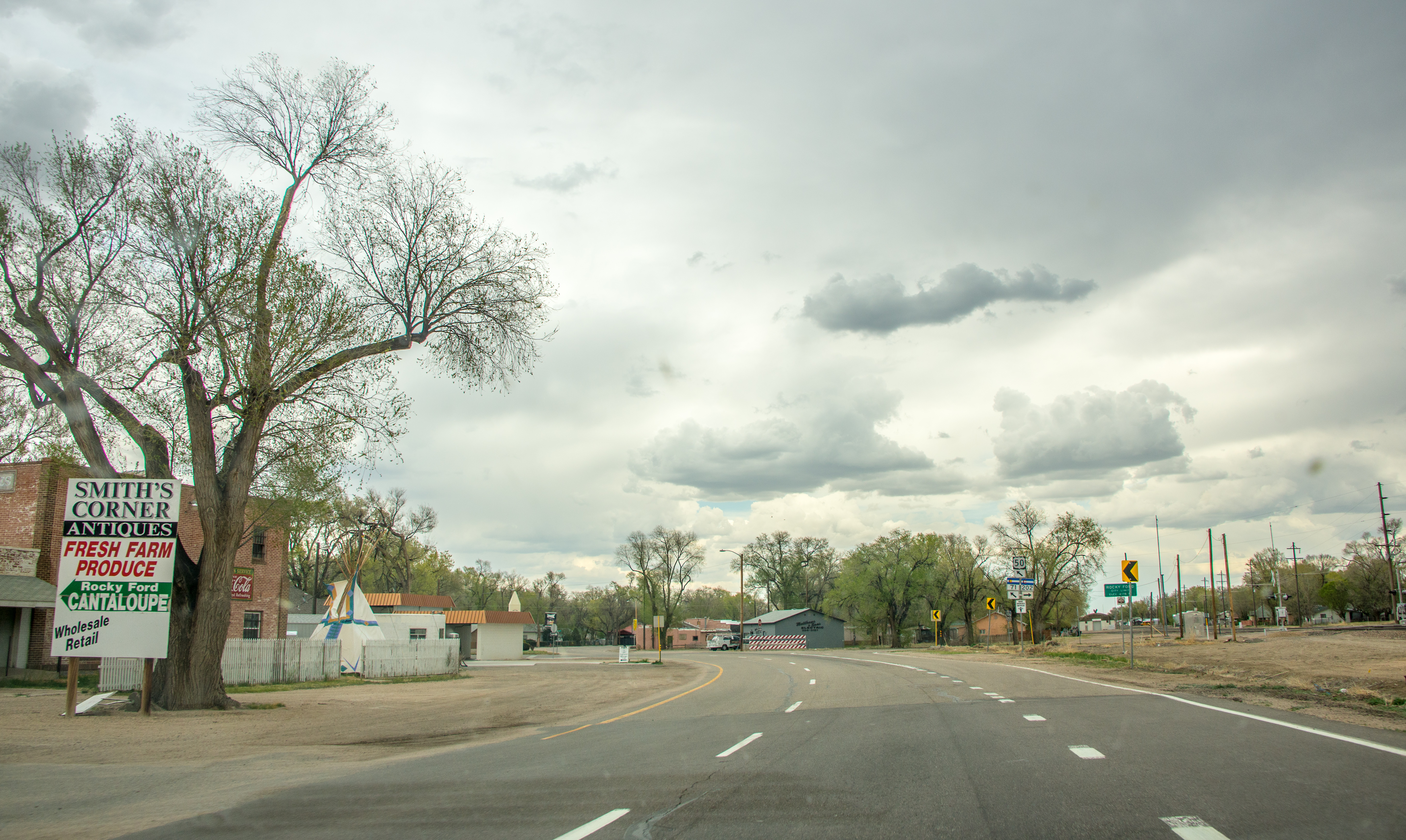
Rocky Ford City Limits
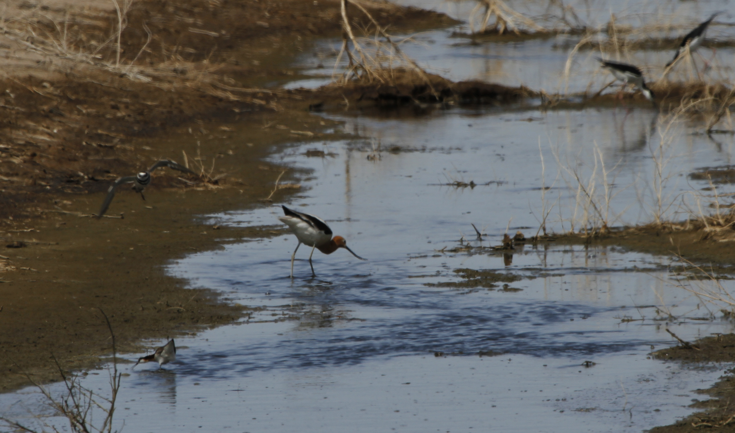
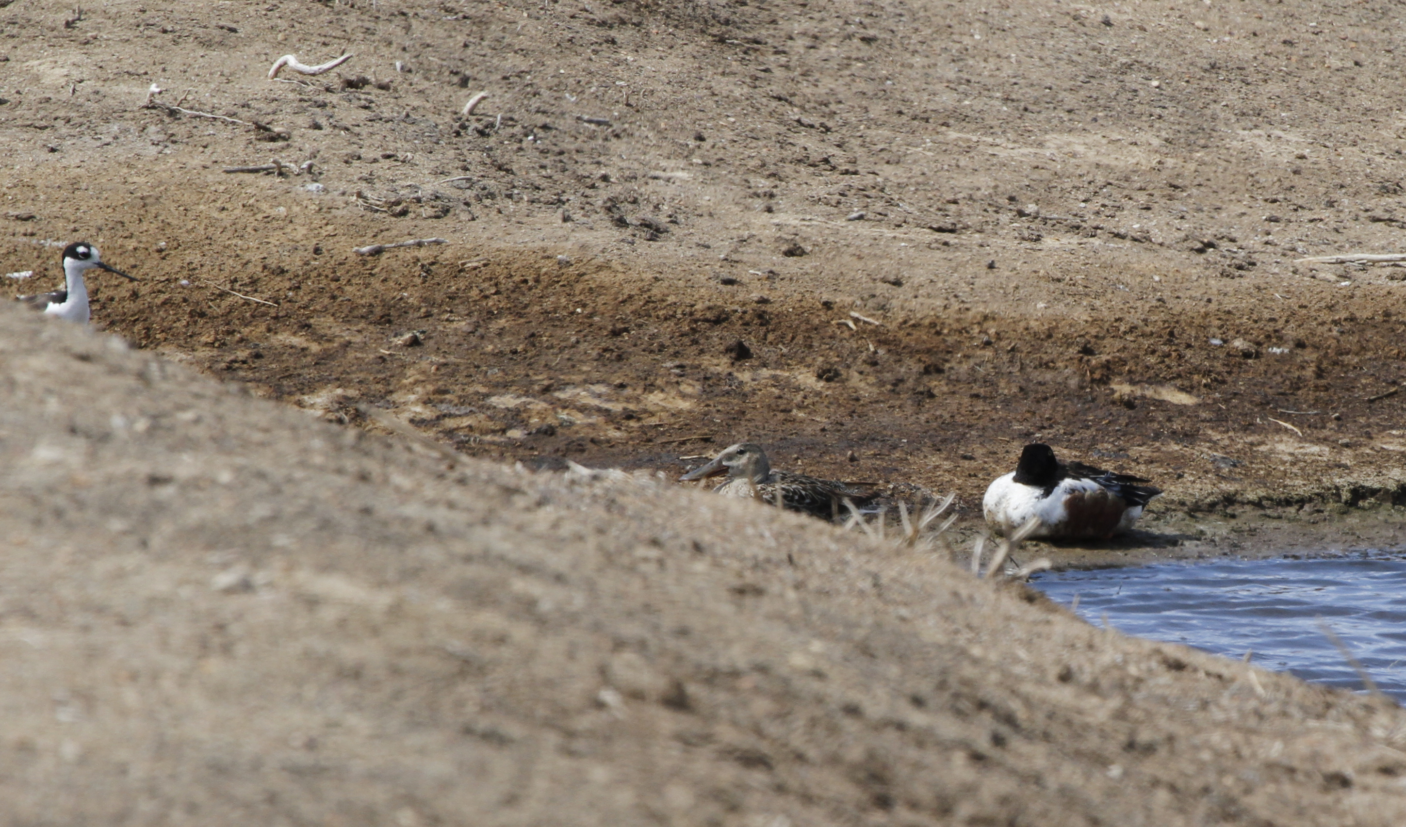
Killdeer (in flight), Wilson's Phalarope, American Avocet and Black-necked Stilts
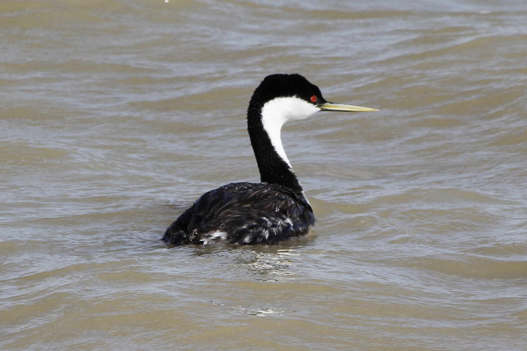
Western Grebe
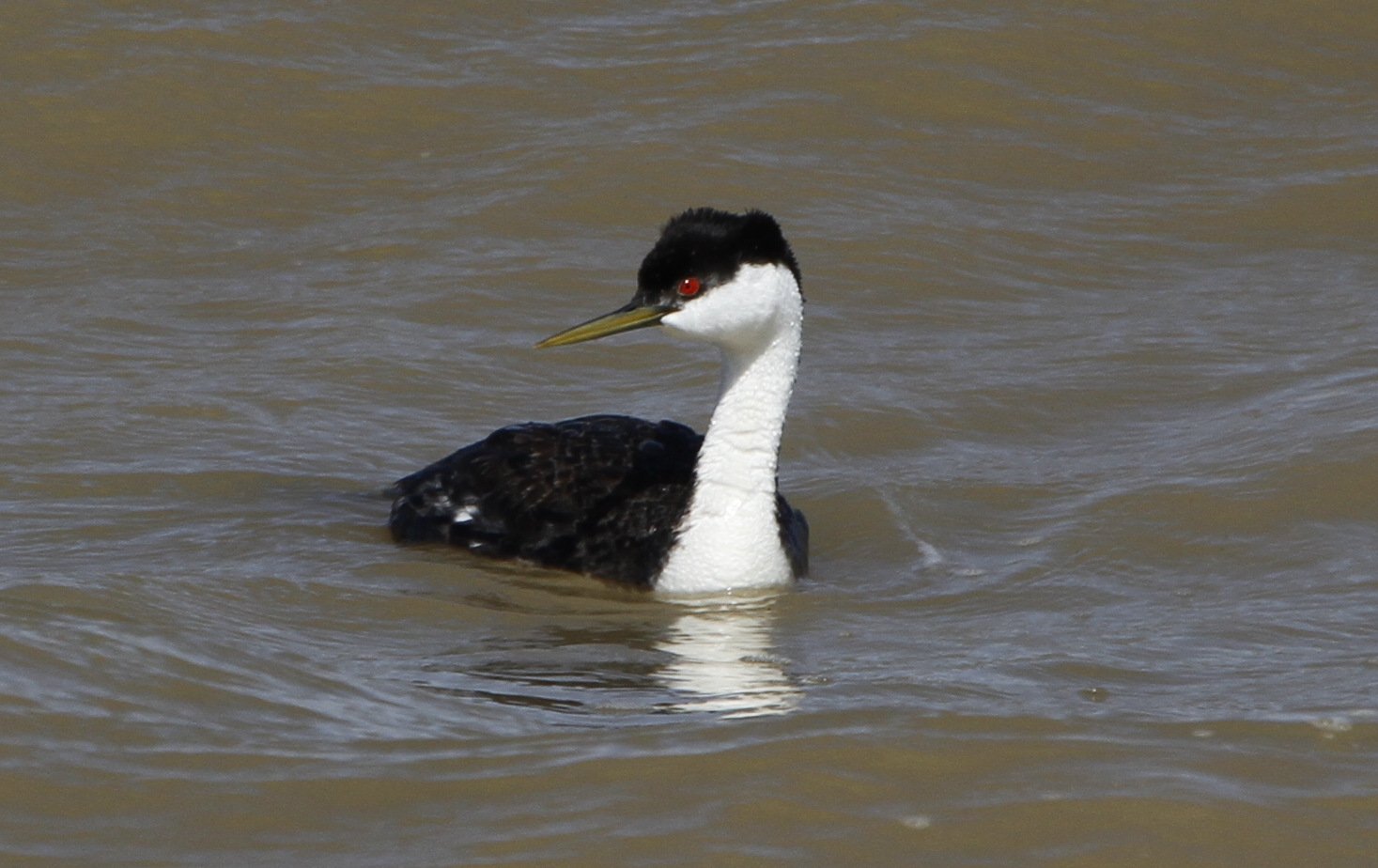
Western Grebe
Black-necked Stilt and Northern Shovelers
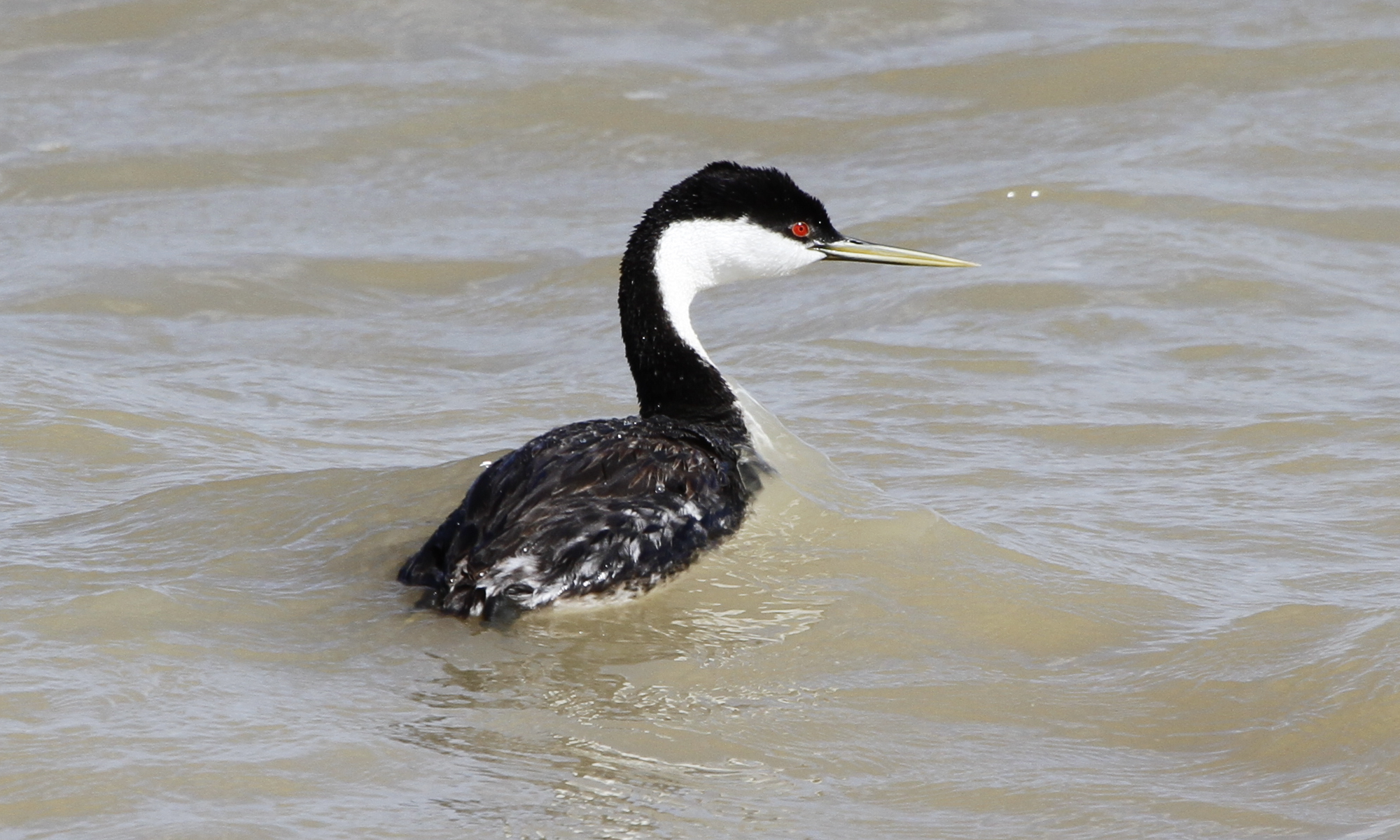
Western Grebe

Green is the color of the earth and the people on it.
Get Pushed Round 7

9_18 Sandia Peak-14
ZJ19_14110001_HDR.jpg

9_18 Sandia Peak-10
20140525_11420801HDR.jpg

9_18 Sandia Peak-15
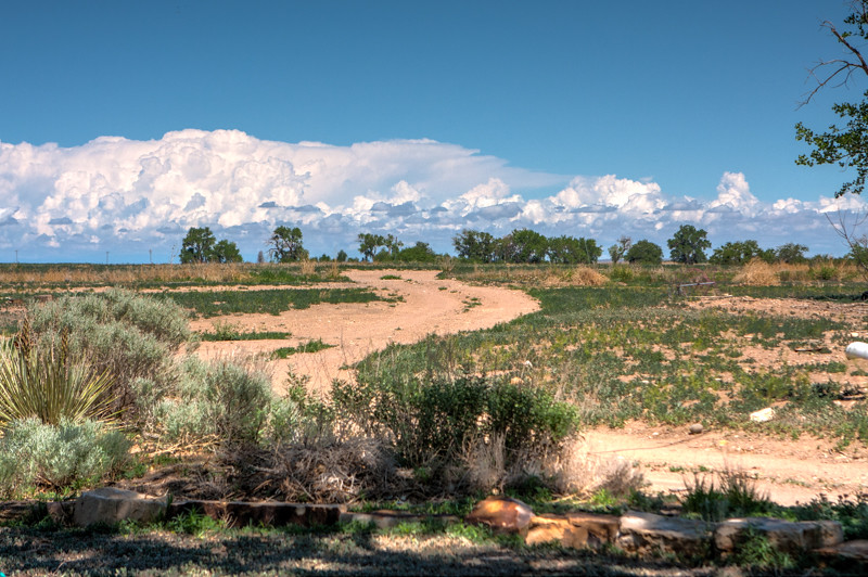
Great American Desert pt 2

Feed Lot

9_18 Sandia Peak-13
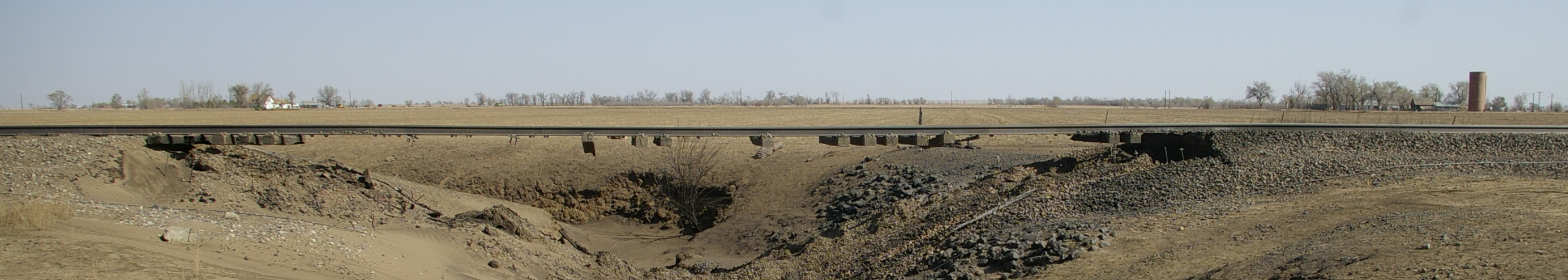
Railroad Trestle

9_18 Sandia Peak-20

9_18 Sandia Peak-26

9_18 Sandia Peak-22

9_18 Sandia Peak-27
Topographic Map of Co Rd C, Manzanola, CO, USA
Find elevation by address:

Places near Co Rd C, Manzanola, CO, USA:
550 Main St
Crowley
1st St, Crowley, CO, USA
B Street & County Road
10762 County Rd C.5
Manzanola
US-50, Rocky Ford, CO, USA
10431 Co Rd H
CO-96, Olney Springs, CO, USA
10431 Co Rd H
Crowley County
Ordway
Sherman Ave, Ordway, CO, USA
US-50, Rocky Ford, CO, USA
Olney Springs
18057 Terry Ave
Rocky Ford
221 2nd St
Fowler
CO-96, Fowler, CO, USA
Recent Searches:
- Elevation of Corso Fratelli Cairoli, 35, Macerata MC, Italy
- Elevation of Tallevast Rd, Sarasota, FL, USA
- Elevation of 4th St E, Sonoma, CA, USA
- Elevation of Black Hollow Rd, Pennsdale, PA, USA
- Elevation of Oakland Ave, Williamsport, PA, USA
- Elevation of Pedrógão Grande, Portugal
- Elevation of Klee Dr, Martinsburg, WV, USA
- Elevation of Via Roma, Pieranica CR, Italy
- Elevation of Tavkvetili Mountain, Georgia
- Elevation of Hartfords Bluff Cir, Mt Pleasant, SC, USA