Elevation of Co Rd, Arcadia, FL, USA
Location: United States > Florida > Desoto County > Arcadia >
Longitude: -81.964427
Latitude: 27.069816
Elevation: 8m / 26feet
Barometric Pressure: 101KPa
Elevation Map:
Satellite Map:
Related Photos:
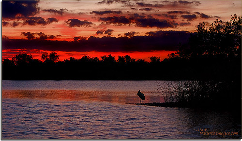
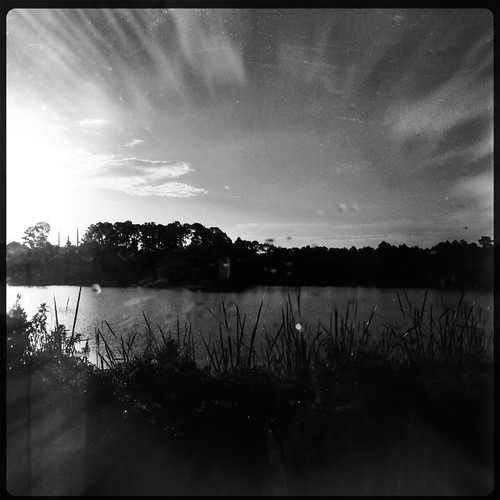
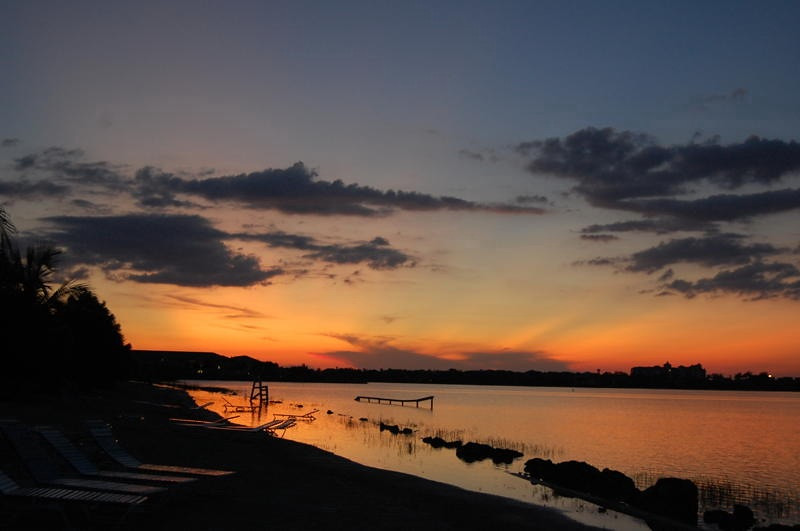
Hunter Creek Rookery Sunset 2

Baby-Yellow Crown Night Herons 5

Christmas Card 2010
2009 Challenge Day 62 Emotion: Disgust
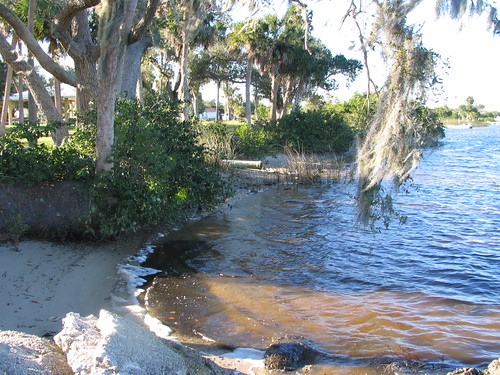
Harbor Heights Park - Shore alternate view
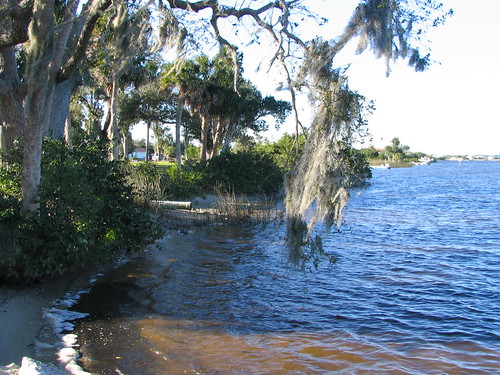
Harbor Heights Park - Shore alternate view

Home Sweet Home 2

Immature-Black-Crown-Night

Home Sweet Home
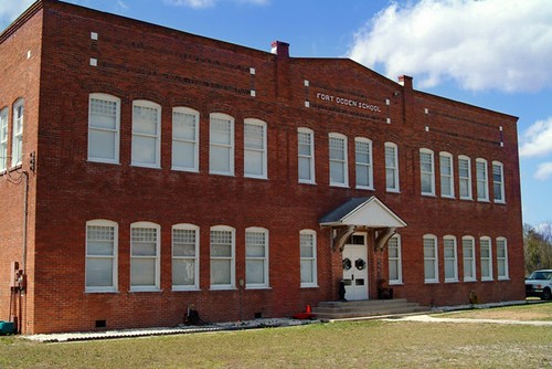
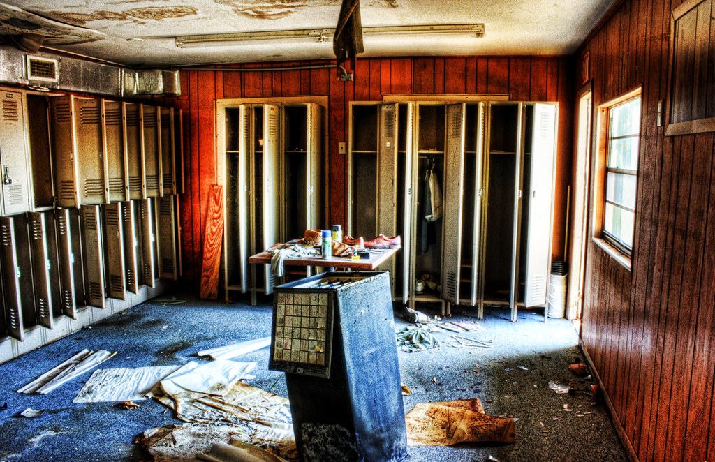
Fort Ogden School in the Ghost Town of Fort Ogden
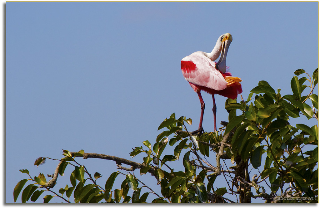
Spoonbill 4, River Rookeries
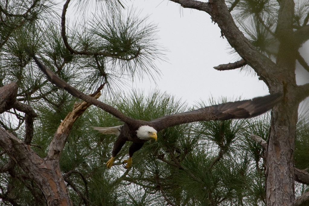
Eagle in flight
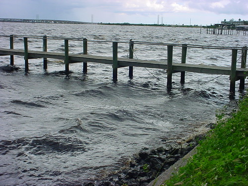
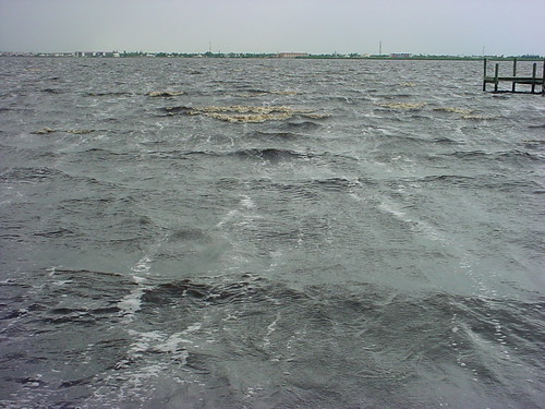
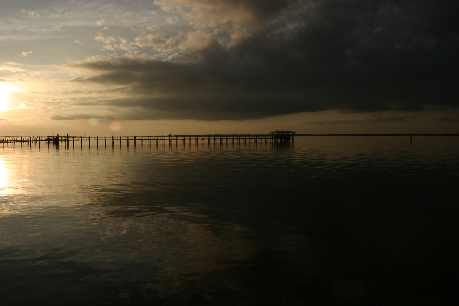
Dock in the storm

Baby-Wood-Stork-3
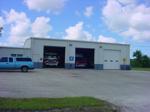
Charlotte County Fire & EMS Station 6 - front view
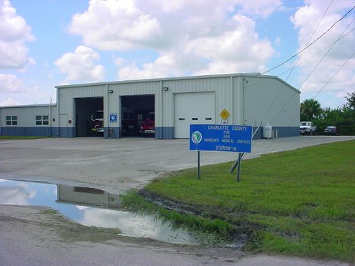
Charlotte County Fire & EMS Station 6 - alternate view

Tonight's view
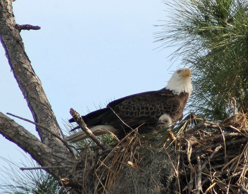
FIRST VIEW OF THE NEW EAGLES !
Storm approaching
in-Charlotte, Feb 28, 2009
Monk Parakeet 2

Peace River
Sun Rays
Wish you were here. 7/27/2010

Punta Gorda
Time to get up #oggl #hipstamatic
hh 118

#photo #tagged to Team #airboataddicts by and go #follow @boggy_creek_airboat_rides What a #sunset via the #airboat #blowboat in #kissimmee #kissimmeechainoflakes to get #outdoors to #ridetoslide to go #aiboatin #nature #wildlife to live this #airboatlife
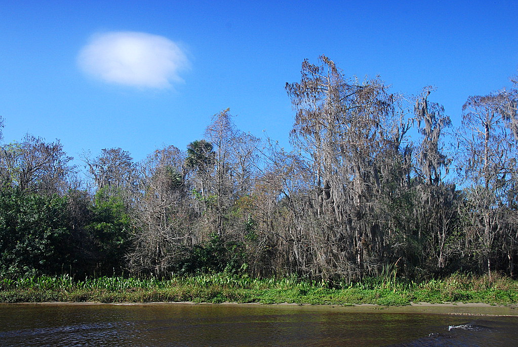
Peace River Landscape, Florida
Elks 2-15-2013 Looking west back toward Charlotte Harbor
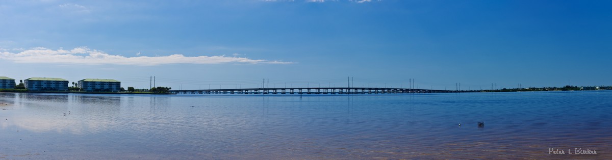
Peace River Bridge
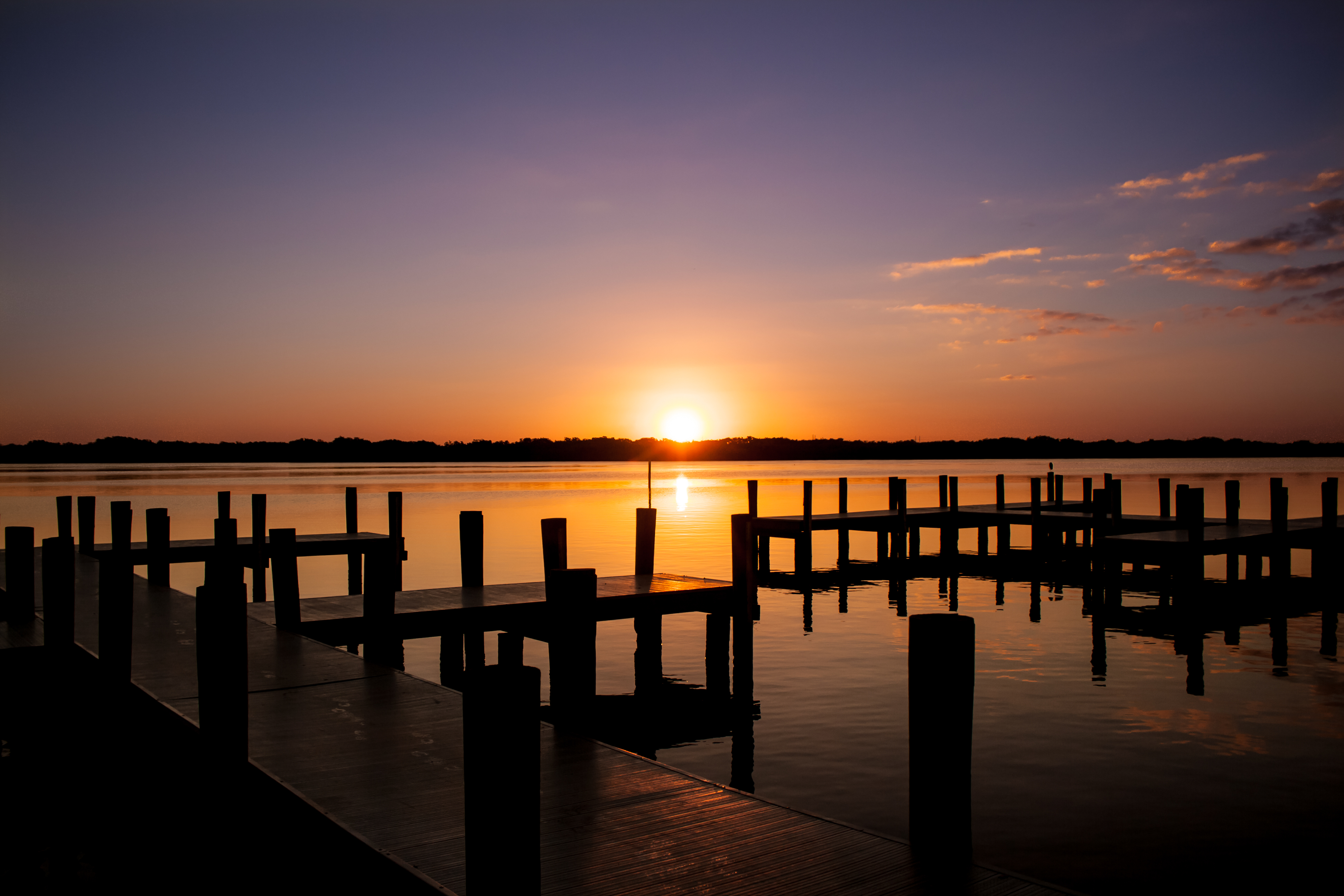
Sunset over lake

Sunset. Florida.
Evening cruise

4 baseball fields, 2 tennis courts... no on here. #ghosttown

Burrowing Owl

Peace River landscape with clouds, Peace River, Florida
Harbor Heights Park - River water

Burrowing Owl
Topographic Map of Co Rd, Arcadia, FL, USA
Find elevation by address:

Places near Co Rd, Arcadia, FL, USA:
7429 Sw Sunny Oaks Dr
7942 Sw Sunny Oaks Dr
8384 Sw Sunnybreeze Rd
9174 Sw Liverpool Rd
Jolson Court
9700 Sw Riverview Cir
520 Woodstork Ln
20 Herons Cove Dr, Punta Gorda, FL, USA
282 Paramaribo St
29350 Pine Villa Cir
348 Paramaribo St
326 Rosario St
340 Tandil St
468 Paramaribo St
Deep Creek Boulevard & Posadas Circle
27098 Villarrica Dr
327 Goiana St
27133 Villarrica Dr
106 Seasons Dr
24 Sao Paulo Dr
Recent Searches:
- Elevation of Corso Fratelli Cairoli, 35, Macerata MC, Italy
- Elevation of Tallevast Rd, Sarasota, FL, USA
- Elevation of 4th St E, Sonoma, CA, USA
- Elevation of Black Hollow Rd, Pennsdale, PA, USA
- Elevation of Oakland Ave, Williamsport, PA, USA
- Elevation of Pedrógão Grande, Portugal
- Elevation of Klee Dr, Martinsburg, WV, USA
- Elevation of Via Roma, Pieranica CR, Italy
- Elevation of Tavkvetili Mountain, Georgia
- Elevation of Hartfords Bluff Cir, Mt Pleasant, SC, USA