Elevation of DeSoto County, Desoto County, FL, USA
Location: United States > Florida >
Longitude: -81.778702
Latitude: 27.2142078
Elevation: 20m / 66feet
Barometric Pressure: 101KPa
Elevation Map:
Satellite Map:
Related Photos:
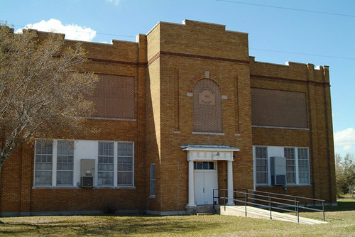
1922 Brownville, Florida School

Enchanted Forest
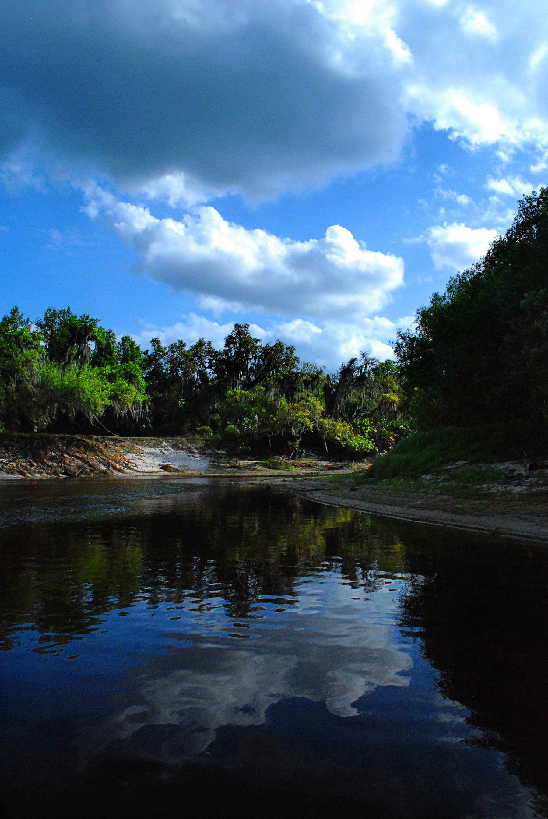
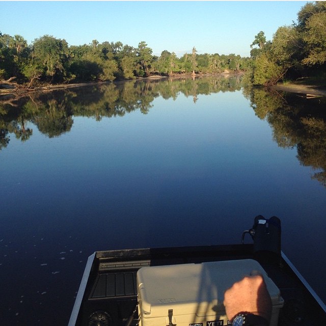
Peace River in March

Bobolinks (Dolichonyx oryzivorus)
VIRB0352.jpg
peace river 2
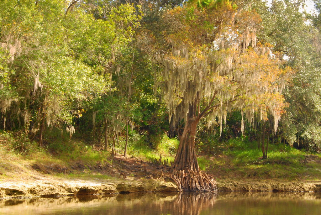
Peace River Landscape, Florida

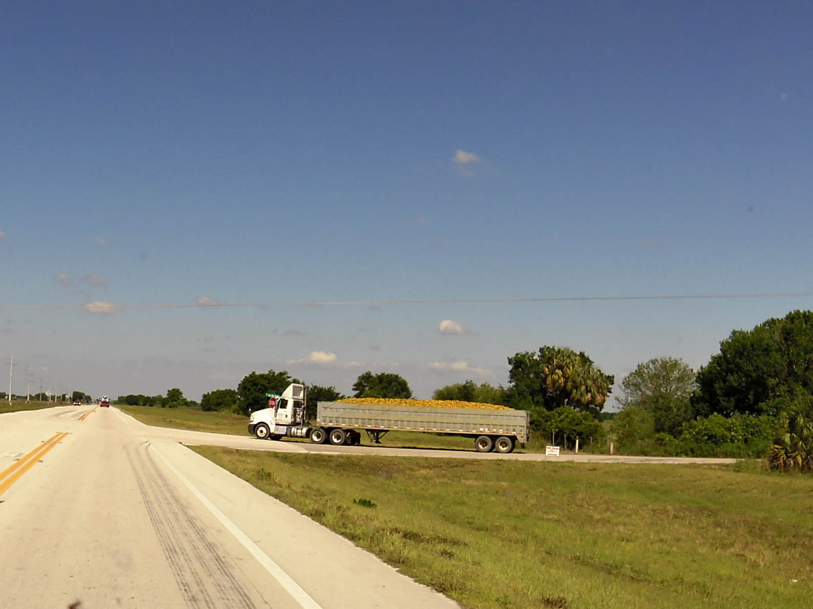
Florida Orange Grove (DeSoto County, Florida)

Florida Orange Grove (DeSoto County, Florida)
#photo #tagged to us by and go #follow this #girlofthemarsh @kayla_whittt the #peaceriver #desotocounty #nocatee #fl #arcadia to go #airboatin #airboating to #ride2slide #ridetoslide already #addicted to this #airboatlife #lakelife #riverlife with Teams #
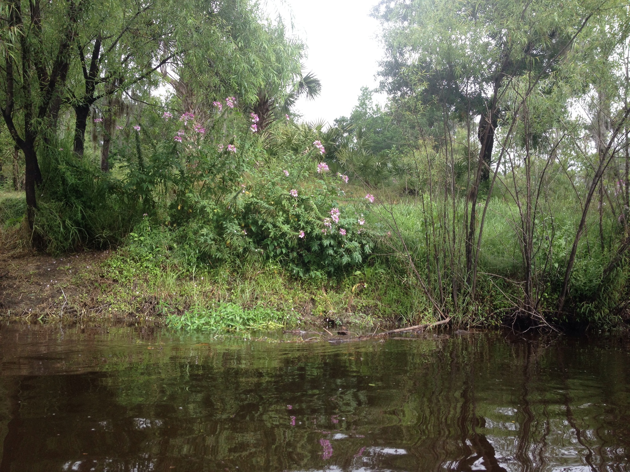
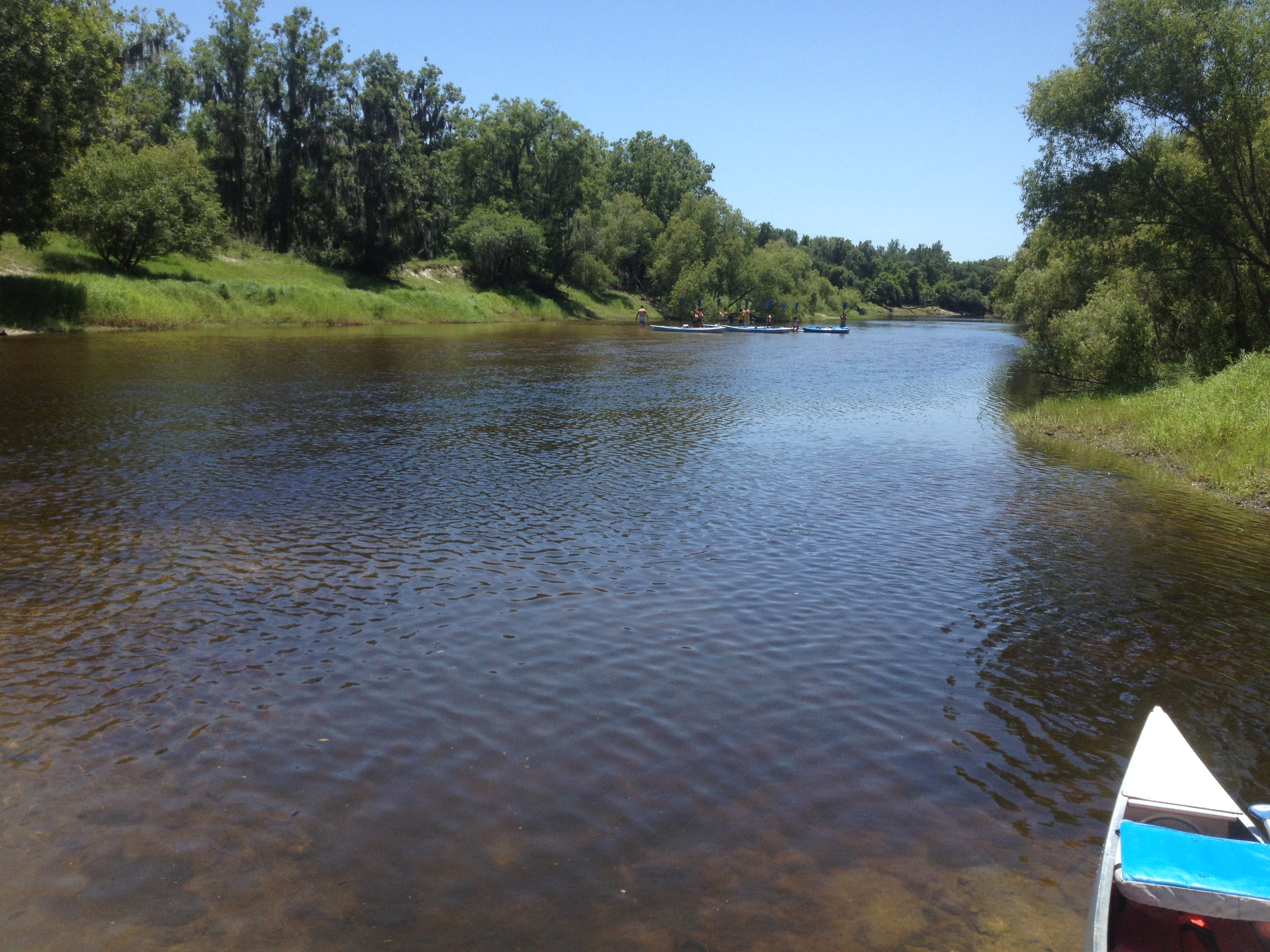
Canoe Trip Mar 2014
Topographic Map of DeSoto County, Desoto County, FL, USA
Find elevation by address:

Places in DeSoto County, Desoto County, FL, USA:
Places near DeSoto County, Desoto County, FL, USA:
1173 Sugarbabe Ave
1232 Ne Cross Ave
4913 Fl-70
SE Turkey Hammock Rd, Arcadia, FL, USA
2905 Se Creekwood Terrace
FL-31, Arcadia, FL, USA
2709 Se Hwy 70
2056 Clem's Dairy St
Southeast Oats Avenue
Environmental Learning Center
125 S Robert Ave
3817 Co Rd 760a
2845 Southeast Airport Road
143 S Pasco Ave
416 N Volusia Ave
First State Bank Of Arcadia Drive Thru
Arcadia
2 W Oak St
Southeast Arcadia
2279 Se Reynolds St
Recent Searches:
- Elevation of Corso Fratelli Cairoli, 35, Macerata MC, Italy
- Elevation of Tallevast Rd, Sarasota, FL, USA
- Elevation of 4th St E, Sonoma, CA, USA
- Elevation of Black Hollow Rd, Pennsdale, PA, USA
- Elevation of Oakland Ave, Williamsport, PA, USA
- Elevation of Pedrógão Grande, Portugal
- Elevation of Klee Dr, Martinsburg, WV, USA
- Elevation of Via Roma, Pieranica CR, Italy
- Elevation of Tavkvetili Mountain, Georgia
- Elevation of Hartfords Bluff Cir, Mt Pleasant, SC, USA