Elevation of Co Rd A, Cañon City, CO, USA
Location: United States > Colorado > Cañon City >
Longitude: -105.41075
Latitude: 38.6838643
Elevation: 2683m / 8802feet
Barometric Pressure: 73KPa
Elevation Map:
Satellite Map:
Related Photos:

IMG_7109-Edit-Pano.jpg
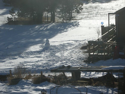
snowman 01.JPG
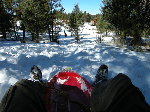
sledding 36.JPG
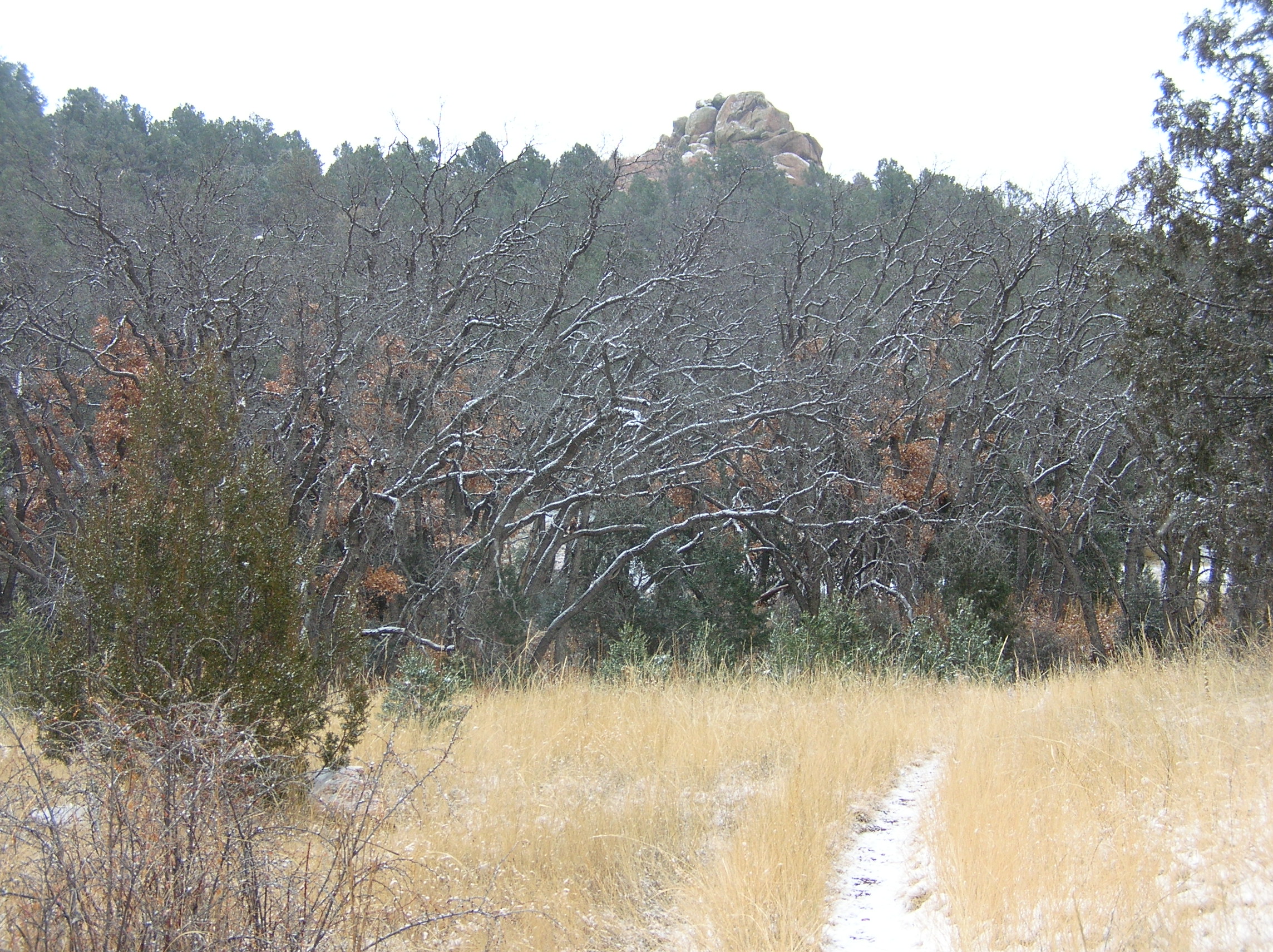
Snowy Oaks
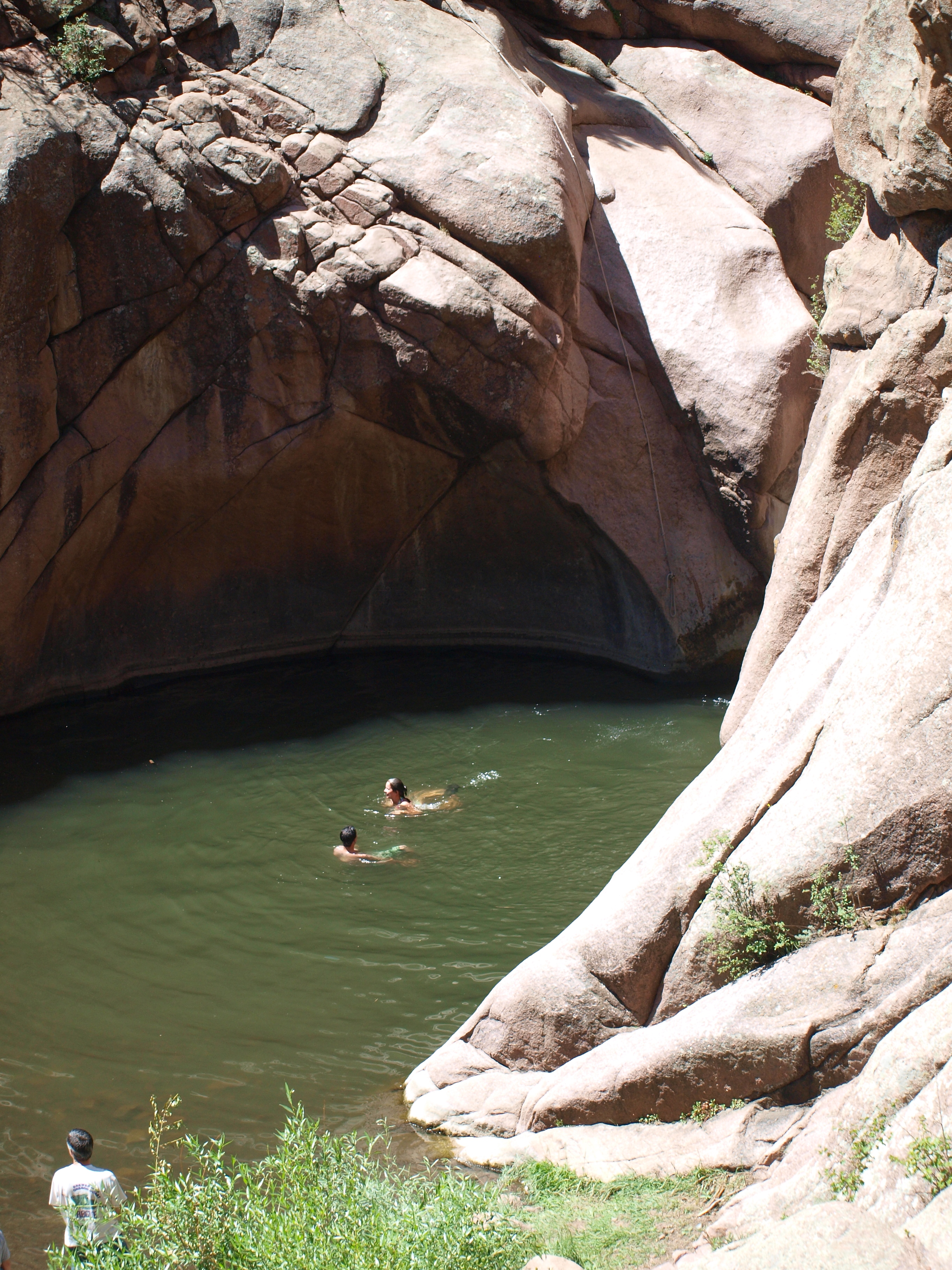
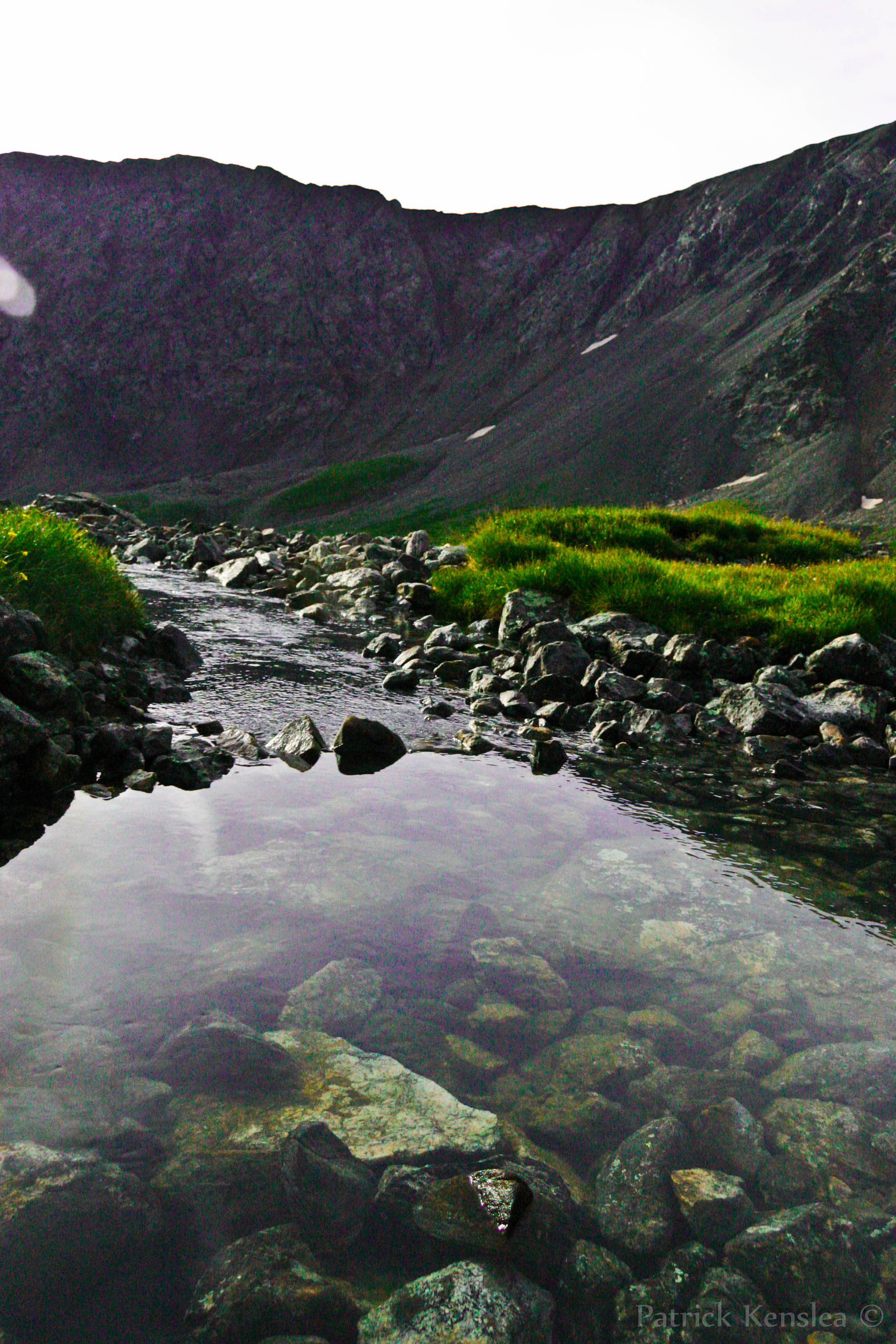
THE POOL
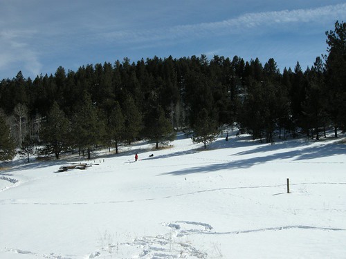
sledding 05.JPG
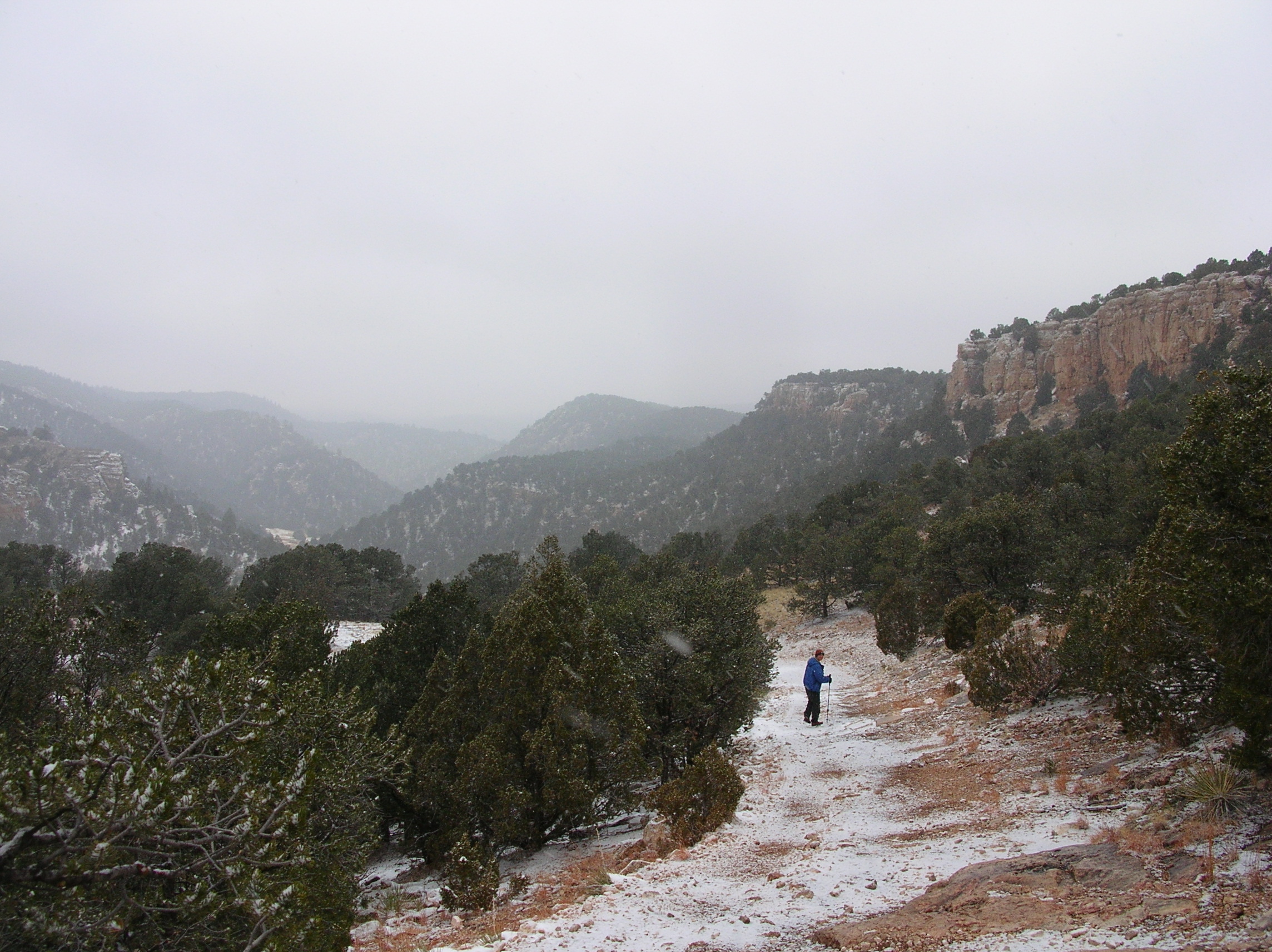
Descent into Sand Gulch
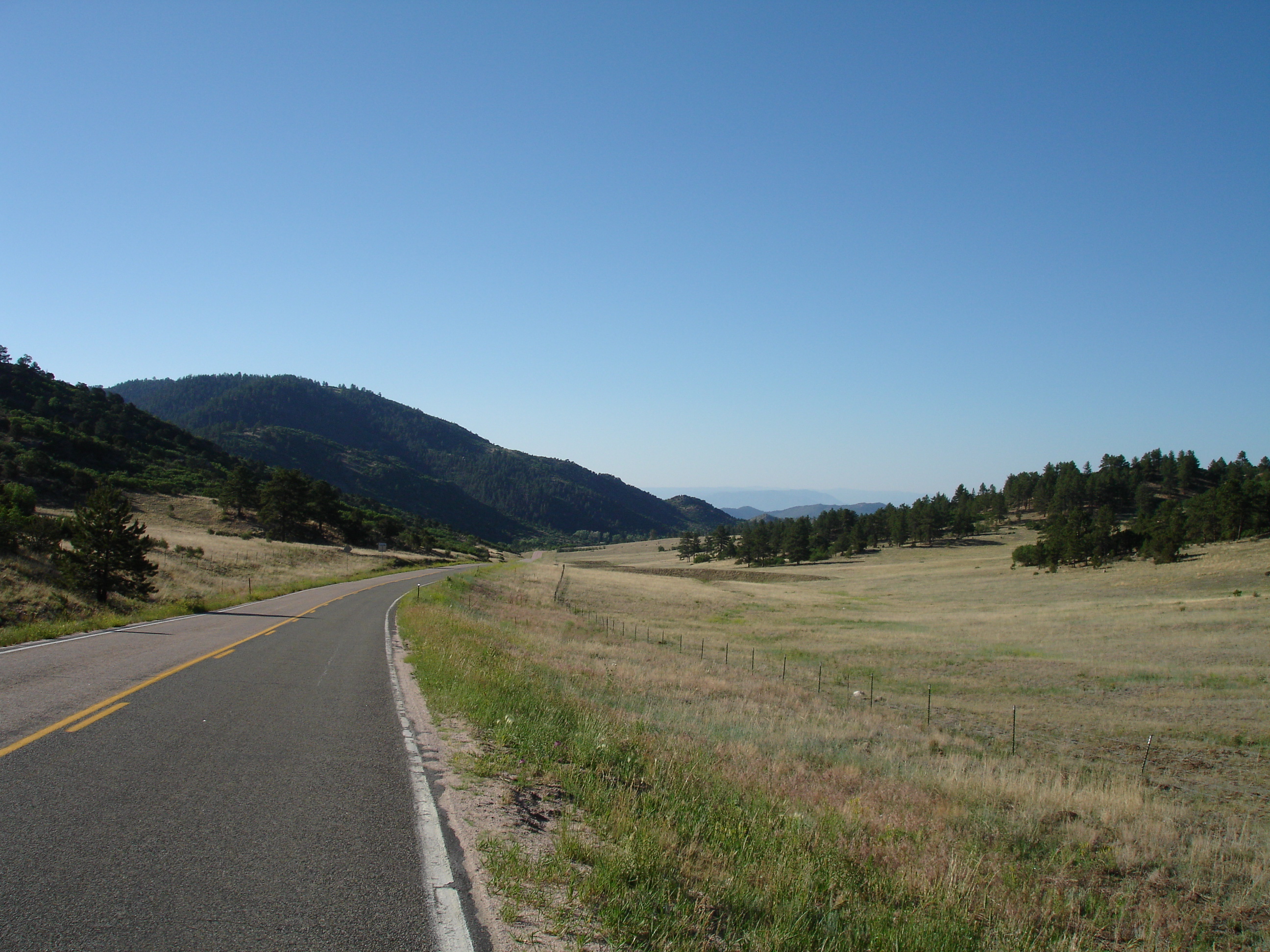
On the Way to Canyon City

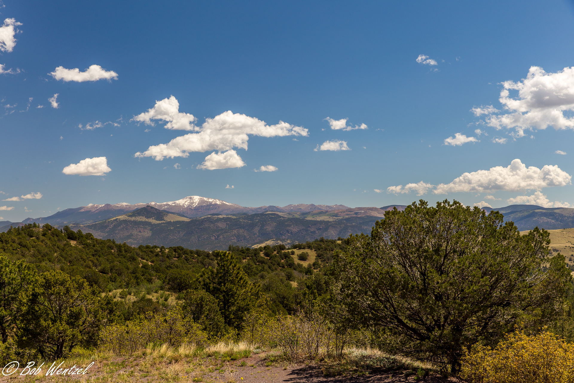
Pikes Peak from the West
20140601-IMG_3560.jpg
colorado torres peak pure water (1 of 1)
Topographic Map of Co Rd A, Cañon City, CO, USA
Find elevation by address:

Places near Co Rd A, Cañon City, CO, USA:
79 Hopi Ln
294 Cheyenne Rd
189 Choctaw Rd
8498 Co Rd 102
943 Bristlecone Rd
804 Sioux Rd
23 Iroquois Dr
Gold Belt Byway
30 Chinook Ln
30 Chinook Rd
930 Doe Valley Rd
392 Meadow Ln
228 Cottonwood Way
317 Comanche Dr
1759 Arapahoe Dr
99 Peak Dr
300 Lakeview Trail
664 Navajo Dr
905 Navajo Dr
5319 County Rd 11
Recent Searches:
- Elevation of Corso Fratelli Cairoli, 35, Macerata MC, Italy
- Elevation of Tallevast Rd, Sarasota, FL, USA
- Elevation of 4th St E, Sonoma, CA, USA
- Elevation of Black Hollow Rd, Pennsdale, PA, USA
- Elevation of Oakland Ave, Williamsport, PA, USA
- Elevation of Pedrógão Grande, Portugal
- Elevation of Klee Dr, Martinsburg, WV, USA
- Elevation of Via Roma, Pieranica CR, Italy
- Elevation of Tavkvetili Mountain, Georgia
- Elevation of Hartfords Bluff Cir, Mt Pleasant, SC, USA