Elevation of Co Rd 9, Thomasville, AL, USA
Location: United States > Alabama > Clarke County > Thomasville >
Longitude: -87.762294
Latitude: 31.8337517
Elevation: 128m / 420feet
Barometric Pressure: 100KPa
Elevation Map:
Satellite Map:
Related Photos:

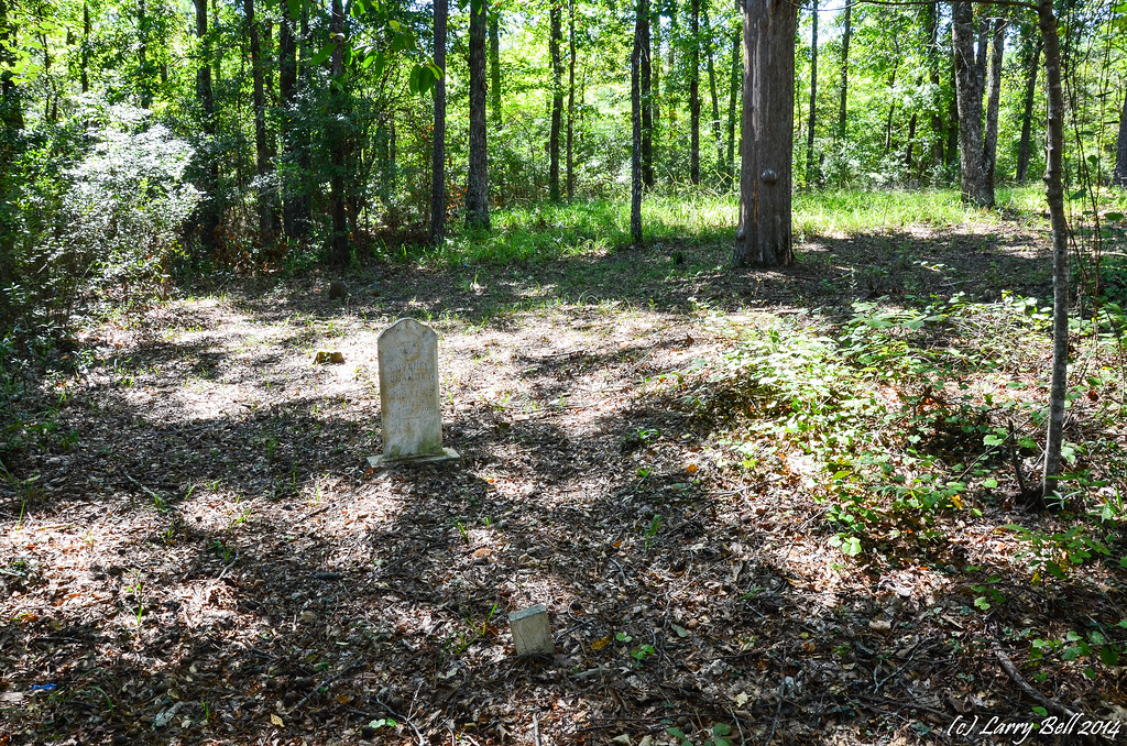
Sunset at Sandflat, Alabama on October 3, 2014
DSC_0066.jpg
DSC_0261.jpg

Sunset at Sandflat, Alabama on October 3, 2014
DSC_0231.jpg
DSC_0122.jpg
DSC_2246.jpg

DSC_0055.jpg
DSC_0057.jpg
DSC_0053.jpg
DSC_0056.jpg

DSC_0125.jpg
DSC_0128.jpg

DSC_0123.jpg

DSC_0124.jpg
DSC_0127.jpg
DSC_0120.jpg

DSC_0126.jpg
DSC_0095-Edit

DSC_0089-Edit
DSC_0208-Edit
Topographic Map of Co Rd 9, Thomasville, AL, USA
Find elevation by address:

Places near Co Rd 9, Thomasville, AL, USA:
Rural Rd, Thomasville, AL, USA
Chilton Rd, Grove Hill, AL, USA
Thomasville
Dickinson
AL-, Grove Hill, AL, USA
19231 Us-43
Grove Hill
Clarke County
Tallahatta Springs Rd, Thomasville, AL, USA
Old Line Rd, Dickinson, AL, USA
Asbury Rd, Grove Hill, AL, USA
AL-12, Grove Hill, AL, USA
Co Rd 1, Pine Hill, AL, USA
Co Rd 1, Pine Hill, AL, USA
Clayton Paul Rd, Grove Hill, AL, USA
Tallahatta Springs Rd, Thomasville, AL, USA
Whatley
13982 Tallahatta Springs Rd
AL-, Coffeeville, AL, USA
Lower Peach Tree
Recent Searches:
- Elevation of Corso Fratelli Cairoli, 35, Macerata MC, Italy
- Elevation of Tallevast Rd, Sarasota, FL, USA
- Elevation of 4th St E, Sonoma, CA, USA
- Elevation of Black Hollow Rd, Pennsdale, PA, USA
- Elevation of Oakland Ave, Williamsport, PA, USA
- Elevation of Pedrógão Grande, Portugal
- Elevation of Klee Dr, Martinsburg, WV, USA
- Elevation of Via Roma, Pieranica CR, Italy
- Elevation of Tavkvetili Mountain, Georgia
- Elevation of Hartfords Bluff Cir, Mt Pleasant, SC, USA