Elevation of Co Rd 1, Pine Hill, AL, USA
Location: United States > Alabama > Wilcox County > Pine Hill >
Longitude: -87.632409
Latitude: 31.948279
Elevation: 43m / 141feet
Barometric Pressure: 101KPa
Elevation Map:
Satellite Map:
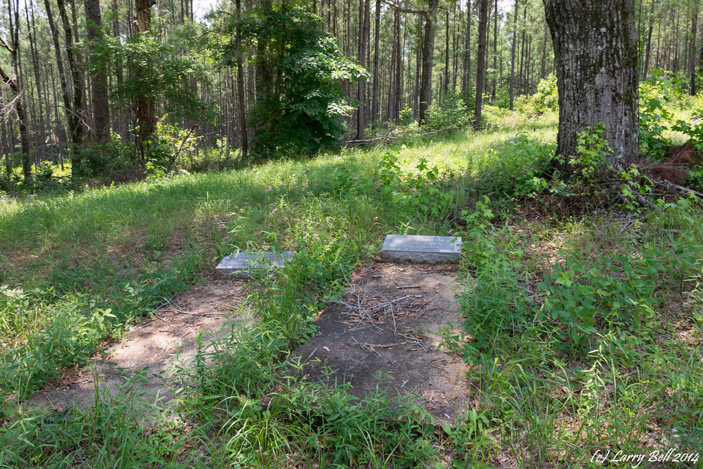
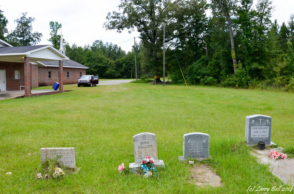
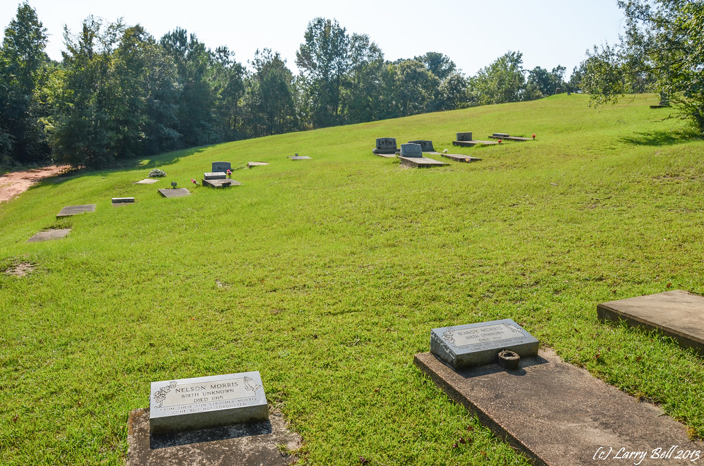
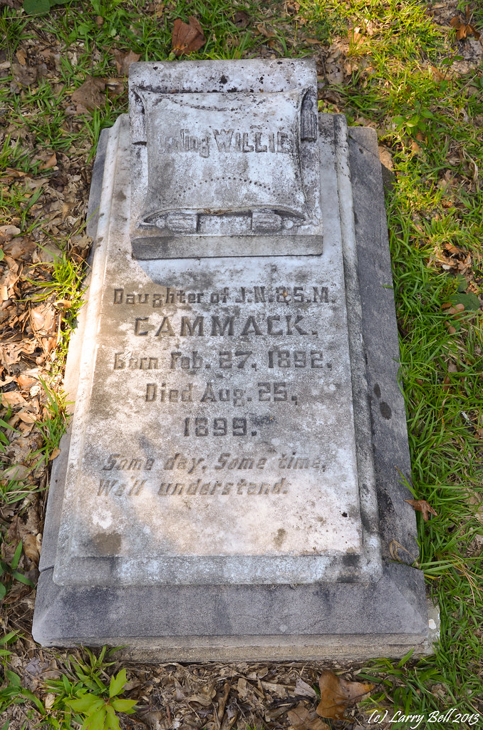
Related Photos:
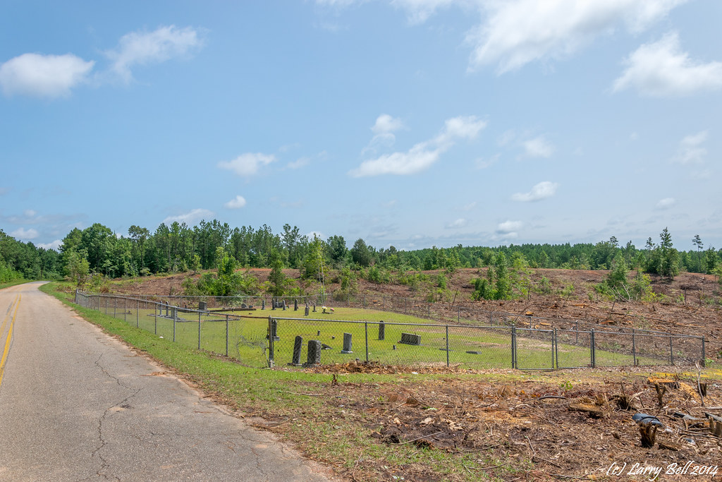
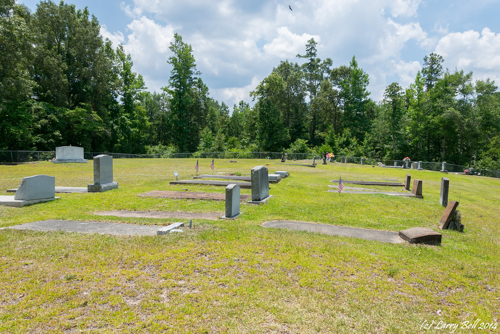
DSC_0341.jpg
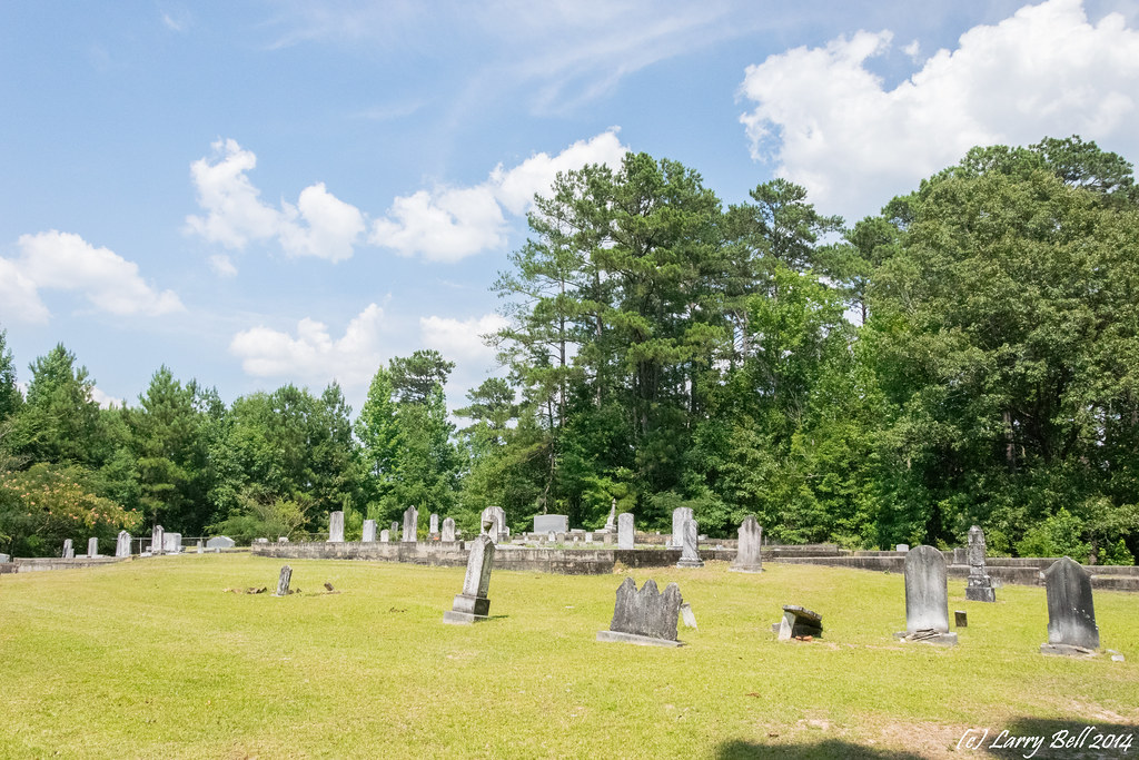
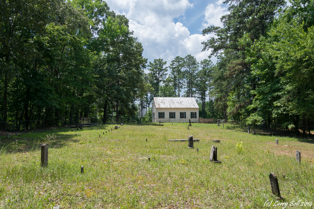
DSC_0231.jpg
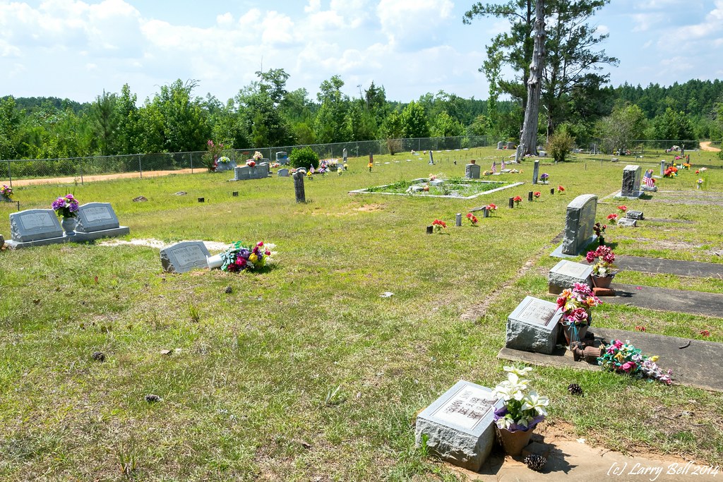
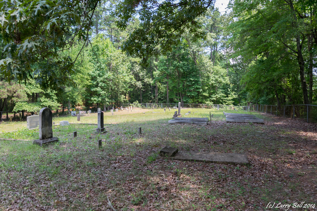
DSC_0254.jpg
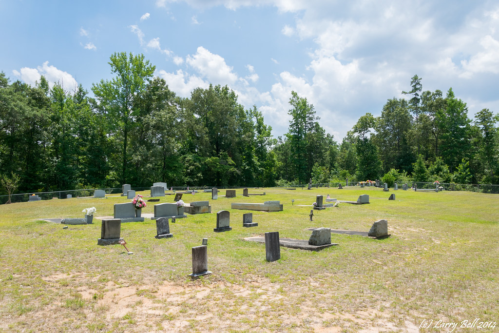
_DSC0716.jpg

DSC_0272.jpg

_DSC0712.jpg
DSC_0040.jpg
DSC_0422.jpg
DSC_0405.jpg

DSC_0354.jpg
DSC_0217.jpg
DSC_0216.jpg
DSC_0122.jpg
DSC_0107.jpg
DSC_0261.jpg
DSC_0257.jpg
_DSC0768.jpg
DSC_2979.jpg
DSC_2945.jpg
DSC_0706.jpg
DSC_0676.jpg
Topographic Map of Co Rd 1, Pine Hill, AL, USA
Find elevation by address:

Places near Co Rd 1, Pine Hill, AL, USA:
Co Rd 1, Pine Hill, AL, USA
Pine Hill
15 AL-10, Pine Hill, AL, USA
Thomasville
Arlington
Co Rd 32, Arlington, AL, USA
Co Rd 32, Arlington, AL, USA
Rural Rd, Thomasville, AL, USA
Lower Peach Tree
Co Rd 1, Lower Peach Tree, AL, USA
Old Line Rd, Dickinson, AL, USA
AL-10, Pine Hill, AL, USA
Co Rd 9, Thomasville, AL, USA
Dixons Mills
Marengo County 6, Dixons Mills, AL, USA
8164 Co Rd 55
8164 Co Rd 55
Dickinson
US-43, Dixons Mills, AL, USA
244 Brown Hawk Rd
Recent Searches:
- Elevation of Corso Fratelli Cairoli, 35, Macerata MC, Italy
- Elevation of Tallevast Rd, Sarasota, FL, USA
- Elevation of 4th St E, Sonoma, CA, USA
- Elevation of Black Hollow Rd, Pennsdale, PA, USA
- Elevation of Oakland Ave, Williamsport, PA, USA
- Elevation of Pedrógão Grande, Portugal
- Elevation of Klee Dr, Martinsburg, WV, USA
- Elevation of Via Roma, Pieranica CR, Italy
- Elevation of Tavkvetili Mountain, Georgia
- Elevation of Hartfords Bluff Cir, Mt Pleasant, SC, USA