Elevation of Co Rd 4, Talmoon, MN, USA
Location: United States > Minnesota > Itasca County >
Longitude: -93.816704
Latitude: 47.600844
Elevation: 420m / 1378feet
Barometric Pressure: 96KPa
Elevation Map:
Satellite Map:
Related Photos:

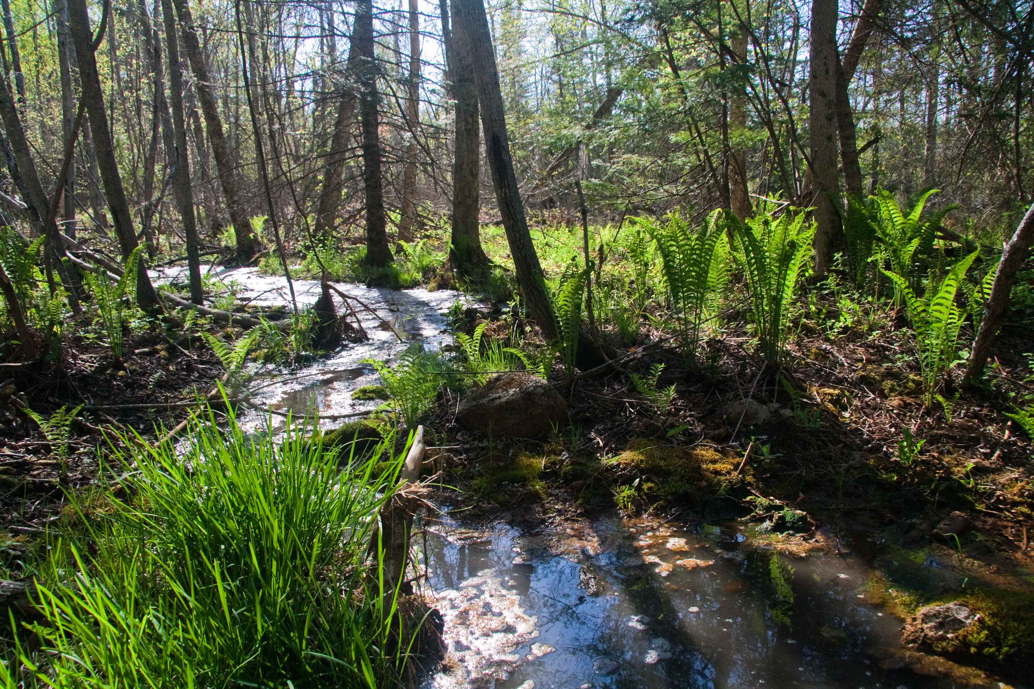
In a Field
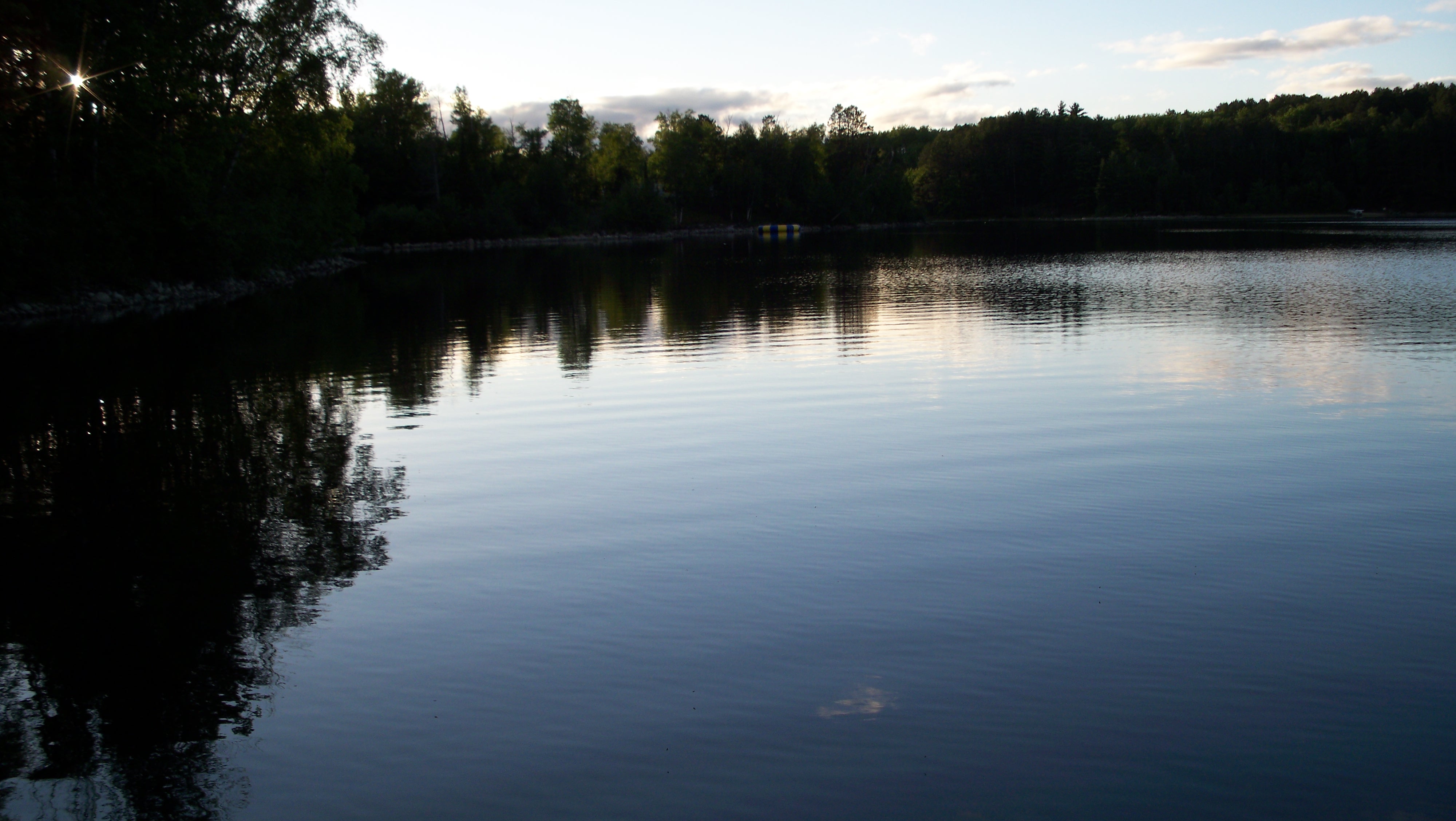
View from dock to the NE
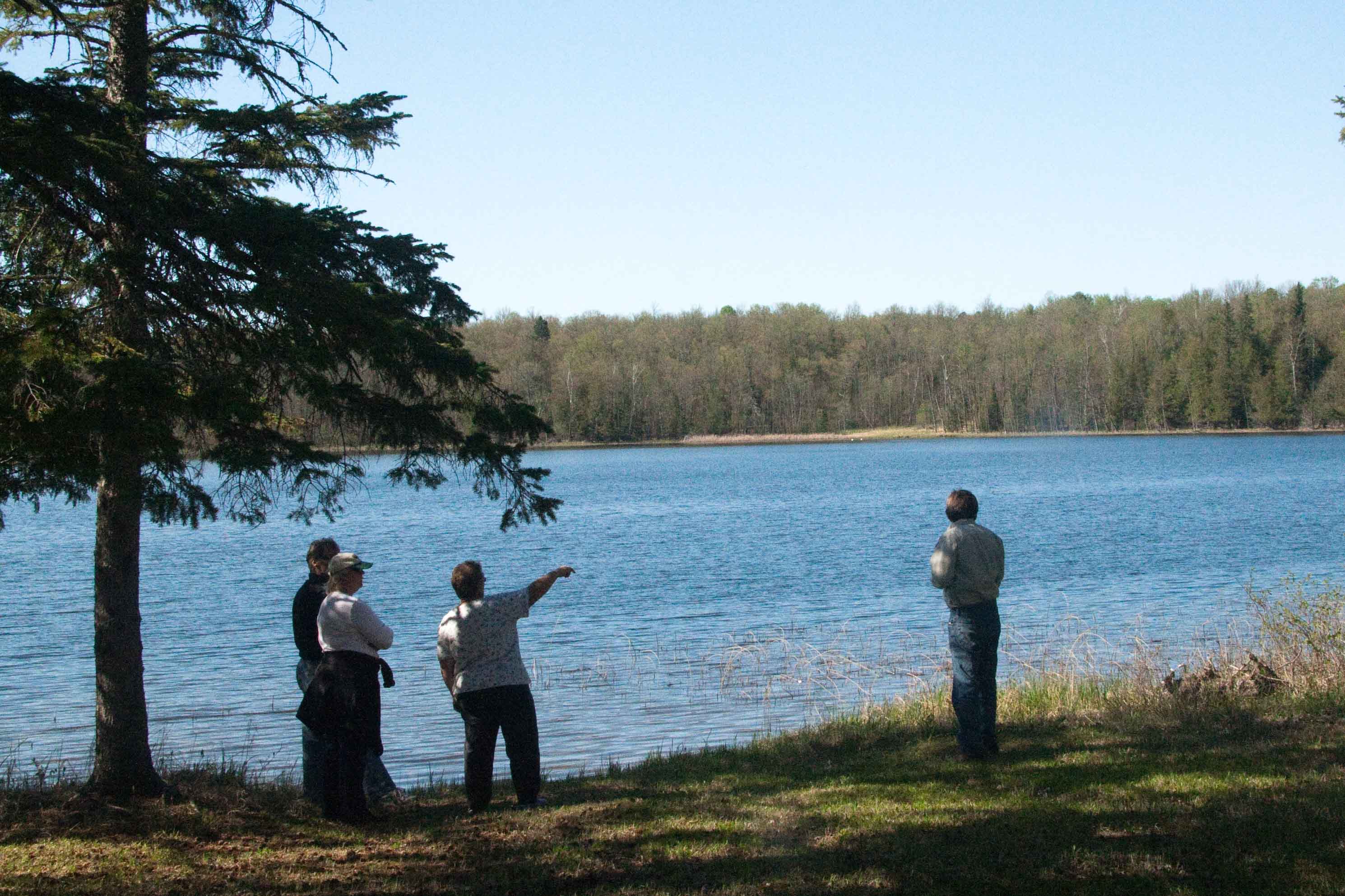
View from deck of lake

28/52: Autumn reflections {Explored}

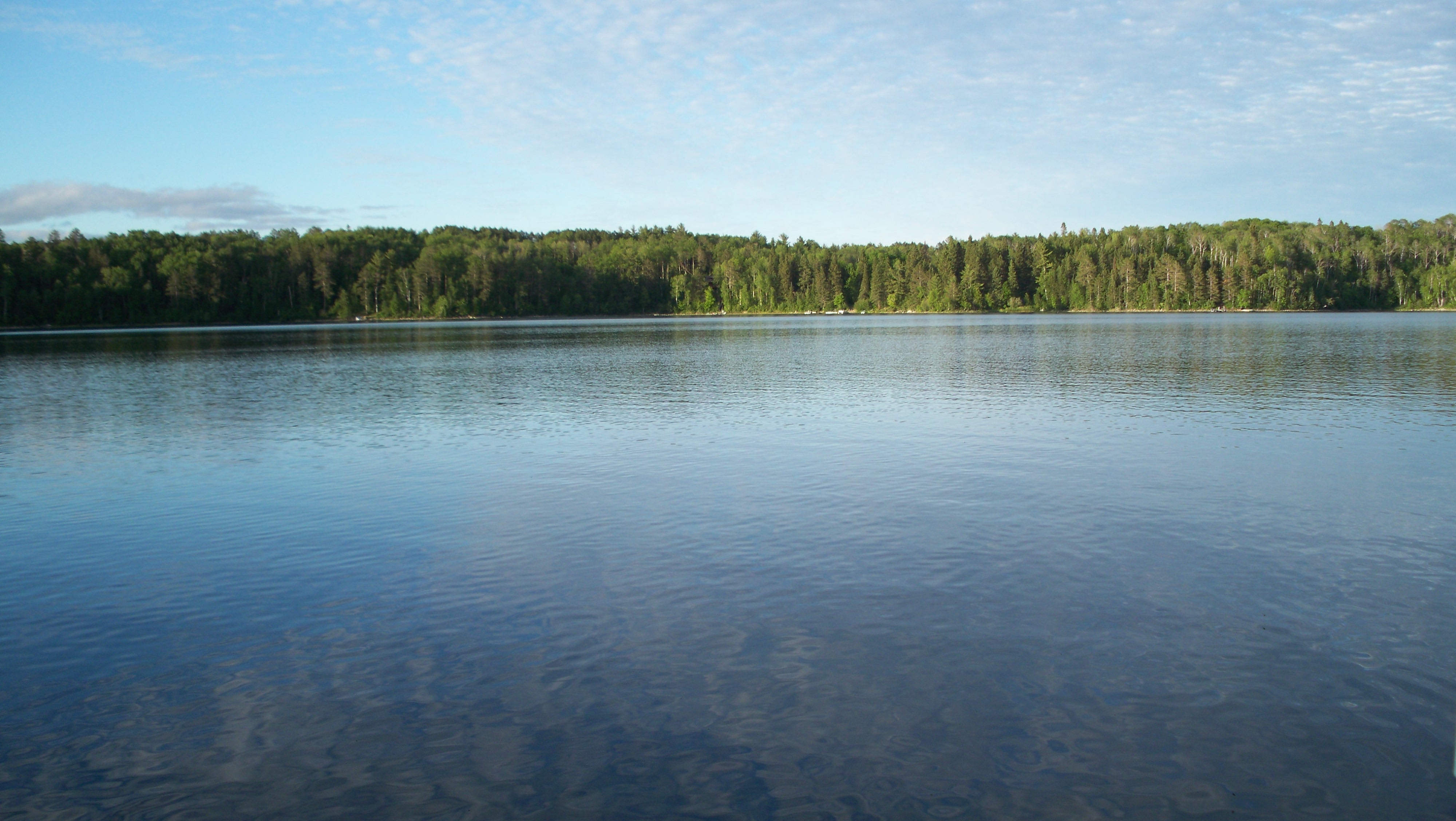
Big Turtle Lake

Sunset on the dock looking South
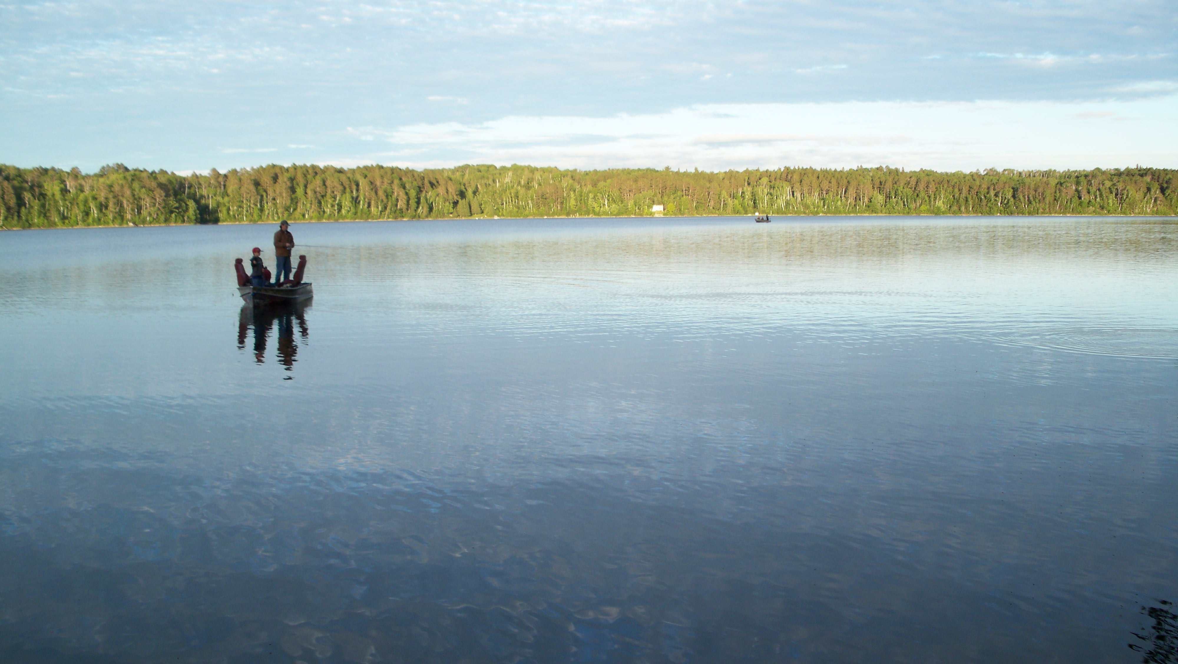
Sunset fishing on Caribou Lake
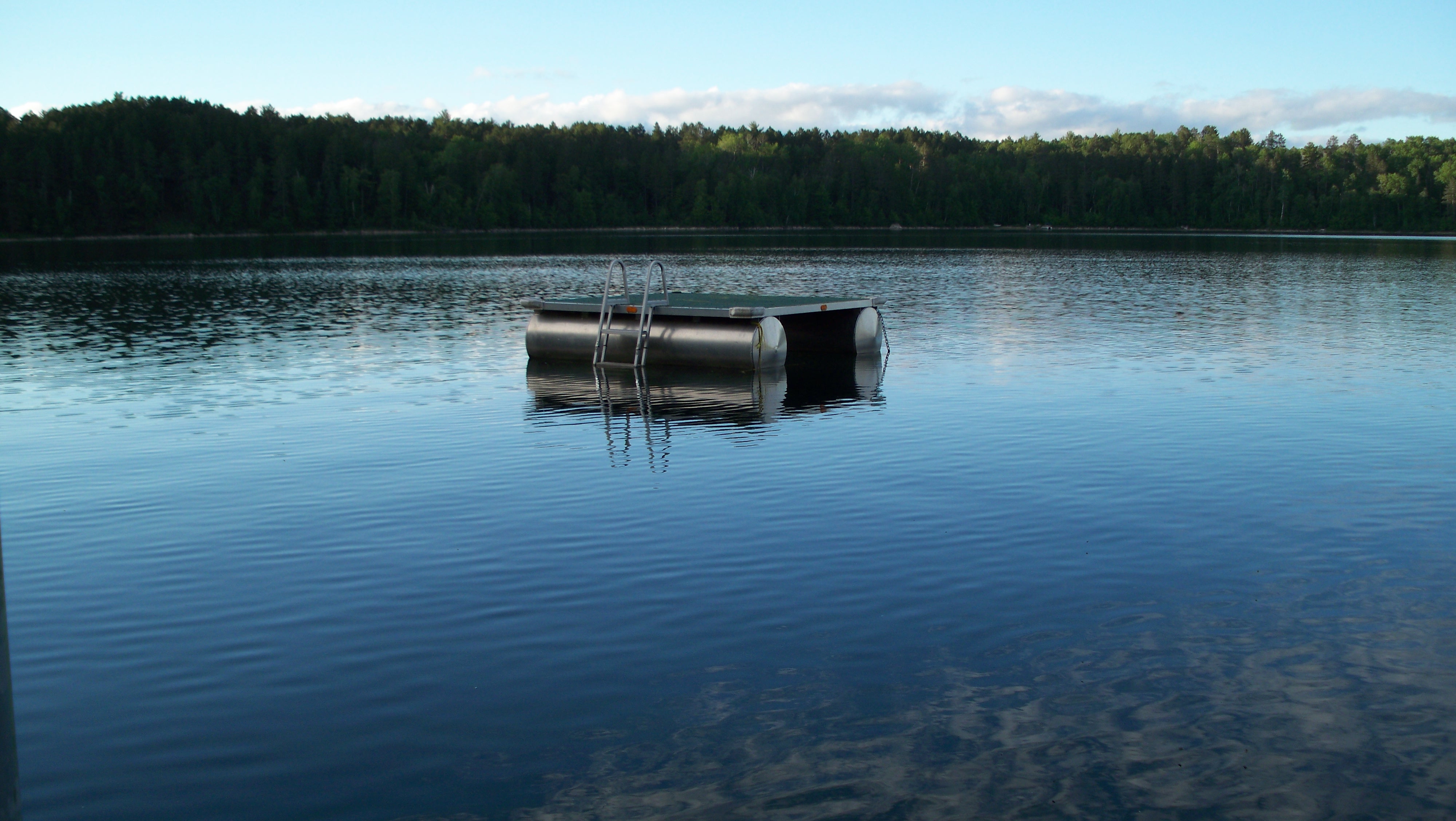
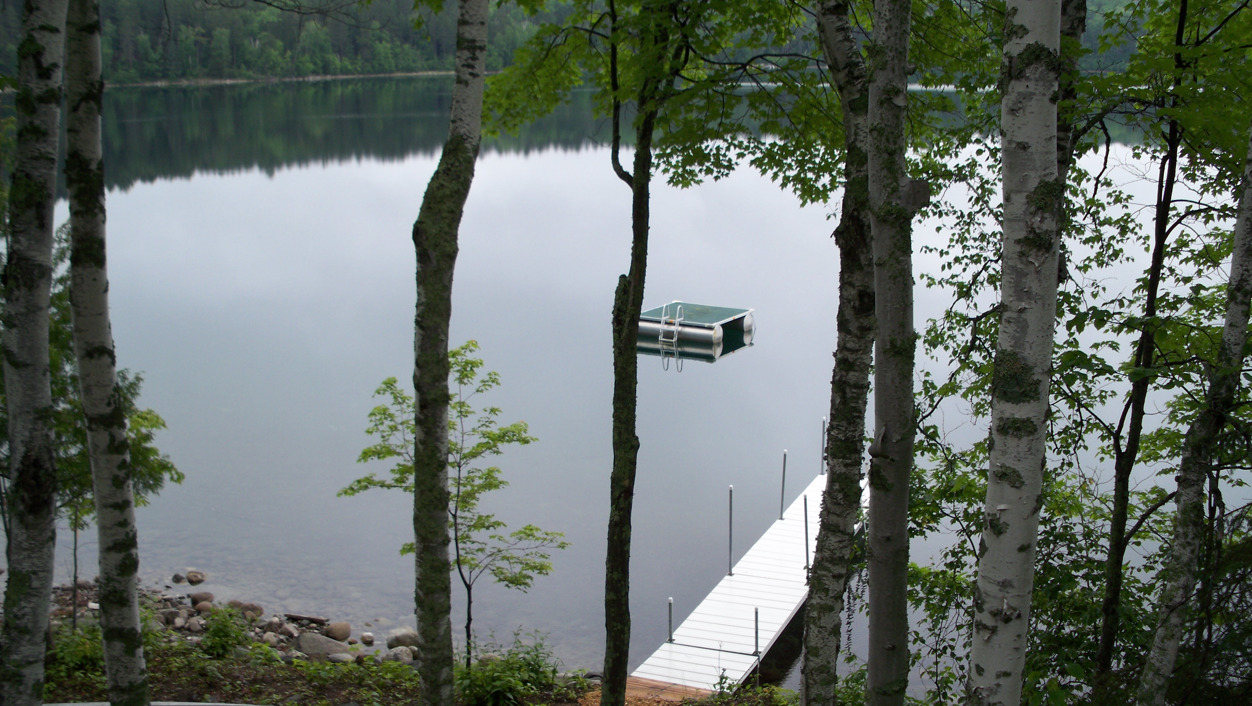
Swim Raft at Brands Caribou Lake house
20090523 165659_Memorial Day_6040-p
At the cabin

Libellula quadrimaculata

Ischnura verticalis

Lestes rectangularis

Lycaena dorcas

Andromeda polifolia

88/366 Sunset on the Lake
20090523 164631_Memorial Day_6026-p
Sunset on the dock looking ESE
Topographic Map of Co Rd 4, Talmoon, MN, USA
Find elevation by address:

Places near Co Rd 4, Talmoon, MN, USA:
Talmoon
Marcell Township
Bello Lake
Turtle Lake
Stokes Township
Bowstring Lake
Bigfork
Mississippi River
Co Rd 4, Spring Lake, MN, USA
Itasca County
th St NE, Deer River, MN, USA
County 52 NE, Remer, MN, USA
Ardenhurst Township
Salem Township
Forest Lake Motel
Lawrence Township
SW 5th St, Grand Rapids, MN, USA
Grand Rapids Township
Grand Rapids
21150 Moose Point Rd
Recent Searches:
- Elevation of Corso Fratelli Cairoli, 35, Macerata MC, Italy
- Elevation of Tallevast Rd, Sarasota, FL, USA
- Elevation of 4th St E, Sonoma, CA, USA
- Elevation of Black Hollow Rd, Pennsdale, PA, USA
- Elevation of Oakland Ave, Williamsport, PA, USA
- Elevation of Pedrógão Grande, Portugal
- Elevation of Klee Dr, Martinsburg, WV, USA
- Elevation of Via Roma, Pieranica CR, Italy
- Elevation of Tavkvetili Mountain, Georgia
- Elevation of Hartfords Bluff Cir, Mt Pleasant, SC, USA