Elevation of Co Rd 29, Marion, AL, USA
Location: United States > Alabama > Perry County > Marion >
Longitude: -87.422901
Latitude: 32.8073253
Elevation: 131m / 430feet
Barometric Pressure: 100KPa
Elevation Map:
Satellite Map:
Related Photos:
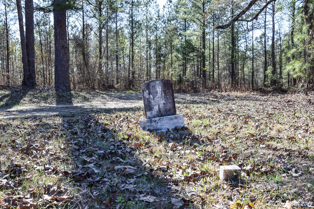
DSC_0291.jpg

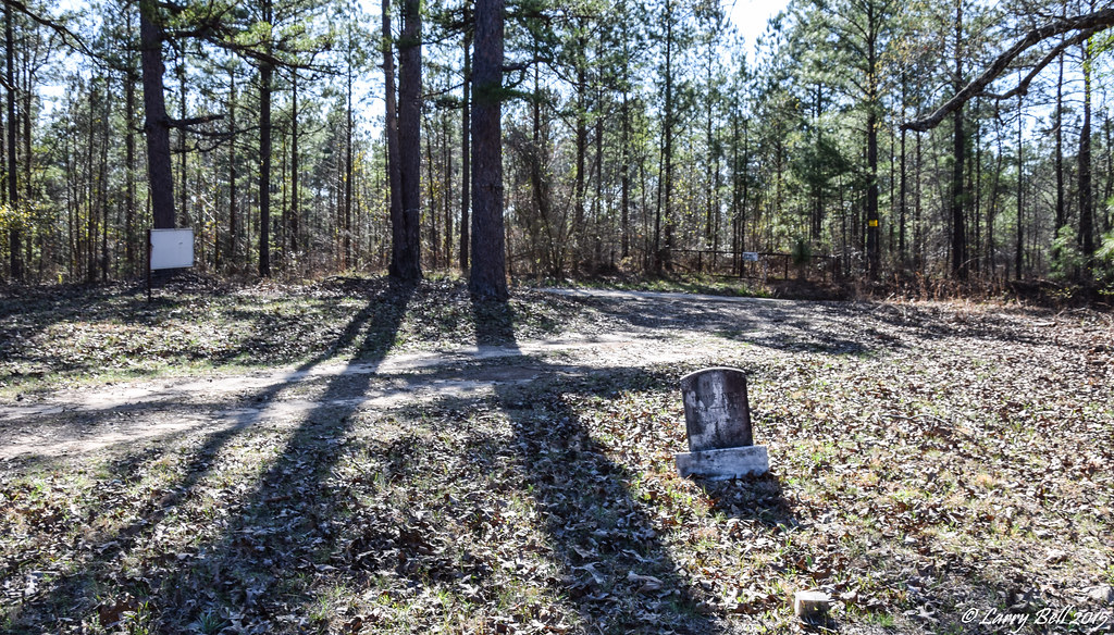
DSC_0298.jpg

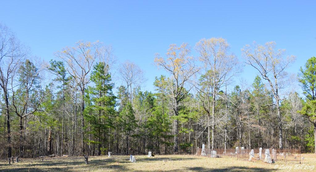
DSC_0296 (2).jpg
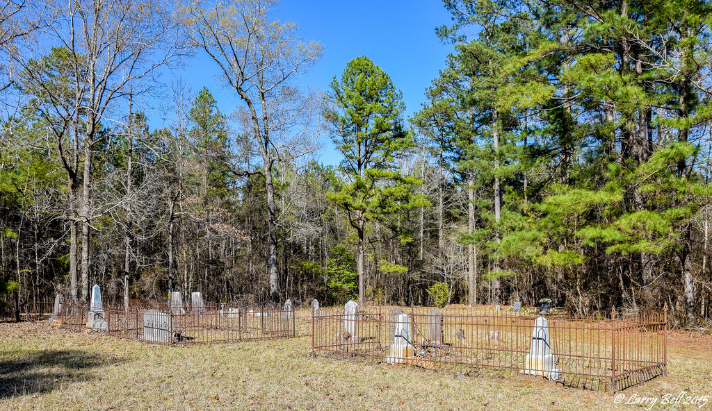
DSC_0295 (2).jpg

DSC_0313.jpg
DSC_0312.jpg

DSC_0311.jpg

DSC_0310.jpg

DSC_0309.jpg
DSC_0308.jpg

DSC_0307.jpg
DSC_0305.jpg
DSC_0304.jpg
DSC_0303.jpg

DSC_0301.jpg

DSC_0300.jpg

DSC_0299.jpg
DSC_0297.jpg
DSC_0294.jpg

DSC_0293.jpg

DSC_0292.jpg
Topographic Map of Co Rd 29, Marion, AL, USA
Find elevation by address:

Places near Co Rd 29, Marion, AL, USA:
Co Rd 29, Moundville, AL, USA
Webb Rd, Marion, AL, USA
Spring Hill Rd, Marion, AL, USA
Co Rd 29, Moundville, AL, USA
AL-25, Brent, AL, USA
Co Rd 49, Marion, AL, USA
Bone Rd, Marion, AL, USA
Hale County
Greensboro
Marion
Marion
Marion
Marion
Marion
Marion
Marion
Marion
Marion
Rosemary Rd, Greensboro, AL, USA
Co Rd 83, Brent, AL, USA
Recent Searches:
- Elevation of Corso Fratelli Cairoli, 35, Macerata MC, Italy
- Elevation of Tallevast Rd, Sarasota, FL, USA
- Elevation of 4th St E, Sonoma, CA, USA
- Elevation of Black Hollow Rd, Pennsdale, PA, USA
- Elevation of Oakland Ave, Williamsport, PA, USA
- Elevation of Pedrógão Grande, Portugal
- Elevation of Klee Dr, Martinsburg, WV, USA
- Elevation of Via Roma, Pieranica CR, Italy
- Elevation of Tavkvetili Mountain, Georgia
- Elevation of Hartfords Bluff Cir, Mt Pleasant, SC, USA