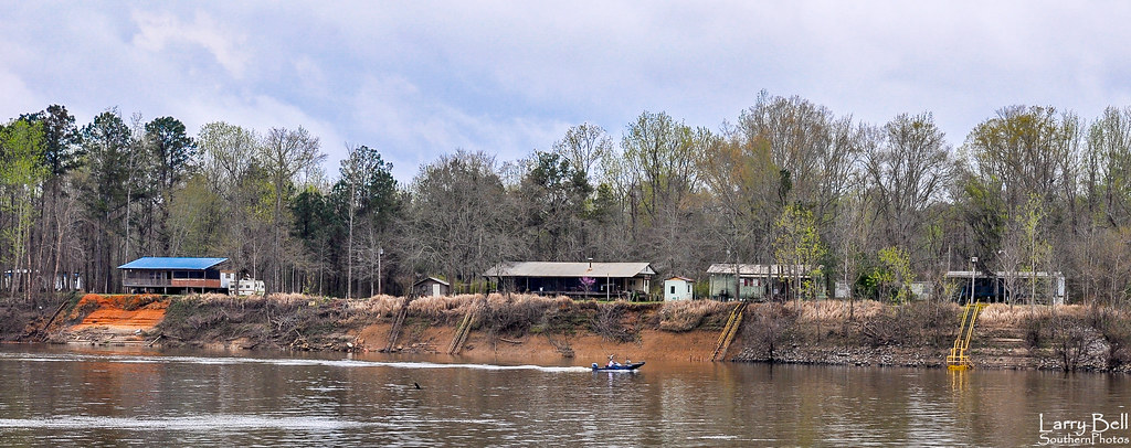
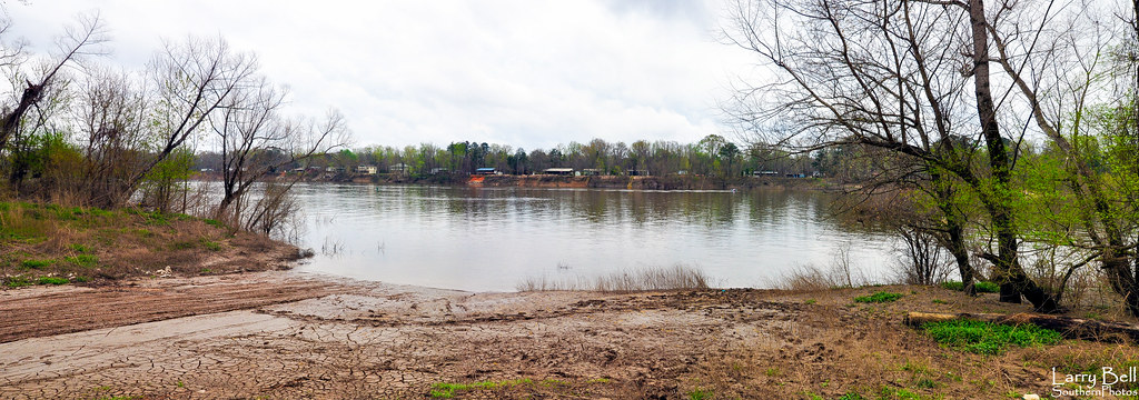
Elevation of Co Rd 29, Gainestown, AL, USA
| Latitude | 31.4445055 |
|---|---|
| Longitude | -87.6935663 |
| Elevation | 81m / 266feet |
| Barometric Pressure | 1004KPa |
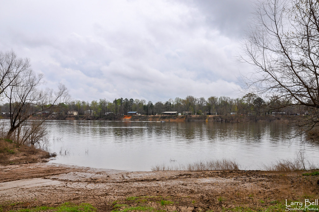
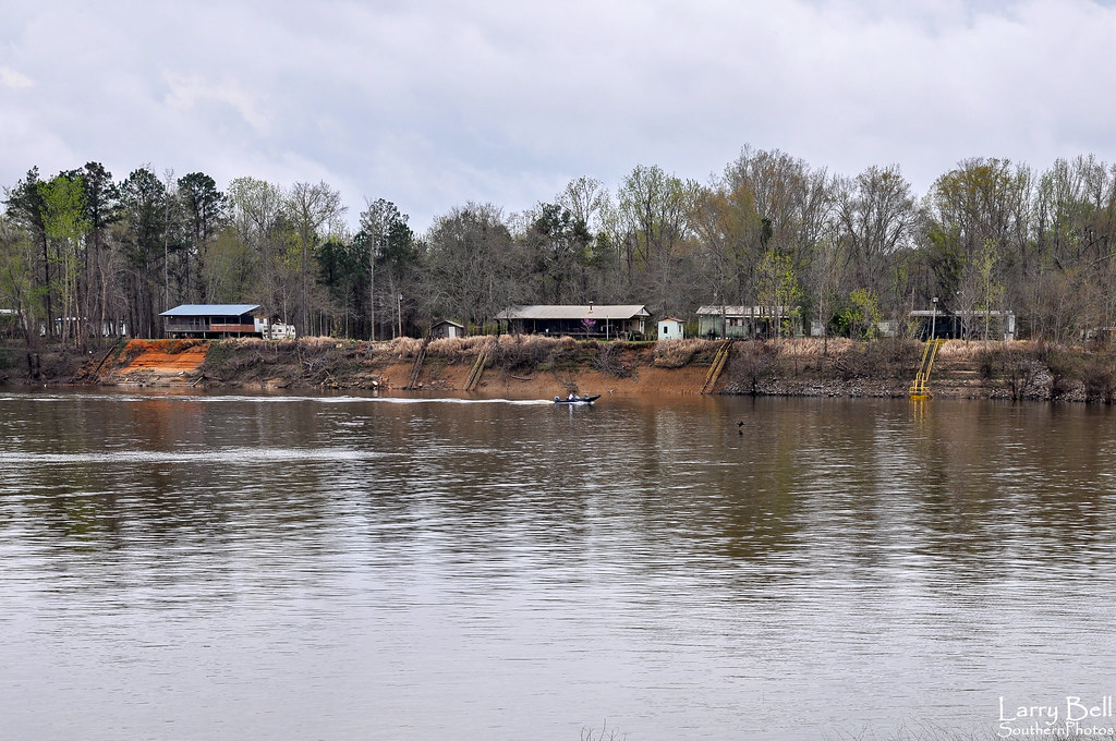
Related Photos:
DSC_0274.jpg
DSC_0242.jpg
DSC_0781.jpg
DSC_0288.jpg

DSCN9367.jpg

DSCN9370.jpg

DSC_0800.jpg

DSCN9363.jpg
DSC_0294.jpg

DSC_0832.jpg
DSC_0834.jpg
Gainestown Landing.jpg

DSC_0147 (2).jpg
DSC_0050.jpg
DSC_0292.jpg

DSC_0767.jpg
DSC_0293.jpg
DSC_0814.jpg
DSC_0056.jpg
DSC_0290.jpg

DSC_0289.jpg
Topographic Map of Co Rd 29, Gainestown, AL, USA
Find elevation by address:
Places near Co Rd 29, Gainestown, AL, USA:
Gainestown
Walker Springs Rd, Gainestown, AL, USA
4955 Eureka Landing Rd
Perrys Chapel Rd, Gainestown, AL, USA
Co Rd 1, Uriah, AL, USA
Walker Springs Rd, Jackson, AL, USA
Co Rd 1, Uriah, AL, USA
Benjamin Dees Ln, Little River, AL, USA
Bird Jackson Rd, Whatley, AL, USA
Rockville Rd, Jackson, AL, USA
Little River
Grain Elevator Rd, Frisco City, AL, USA
AL-59, Uriah, AL, USA
Whatley
Jackson
Commerce St, Jackson, AL, USA
104 Eva Ln
AL-12, Frisco City, AL, USA
Jeddo Rd, Uriah, AL, USA
316 Fairview Cir
Recent Searches:
- Elevation map of Central Hungary, Hungary
- Elevation map of Pest, Central Hungary, Hungary
- Elevation of Pilisszentkereszt, Pest, Central Hungary, Hungary
- Elevation of Dharamkot Tahsil, Punjab, India
- Elevation of Bhinder Khurd, Dharamkot Tahsil, Punjab, India
- Elevation of 2881, Chabot Drive, San Bruno, San Mateo County, California, 94066, USA
- Elevation of 10370, West 107th Circle, Westminster, Jefferson County, Colorado, 80021, USA
- Elevation of 611, Roman Road, Old Ford, Bow, London, England, E3 2RW, United Kingdom
- Elevation of 116, Beartown Road, Underhill, Chittenden County, Vermont, 05489, USA
- Elevation of Window Rock, Colfax County, New Mexico, 87714, USA
- Elevation of 4807, Rosecroft Street, Kempsville Gardens, Virginia Beach, Virginia, 23464, USA
- Elevation map of Matawinie, Quebec, Canada
- Elevation of Sainte-Émélie-de-l'Énergie, Matawinie, Quebec, Canada
- Elevation of Rue du Pont, Sainte-Émélie-de-l'Énergie, Matawinie, Quebec, J0K2K0, Canada
- Elevation of 8, Rue de Bécancour, Blainville, Thérèse-De Blainville, Quebec, J7B1N2, Canada
- Elevation of Wilmot Court North, 163, University Avenue West, Northdale, Waterloo, Region of Waterloo, Ontario, N2L6B6, Canada
- Elevation map of Panamá Province, Panama
- Elevation of Balboa, Panamá Province, Panama
- Elevation of San Miguel, Balboa, Panamá Province, Panama
- Elevation of Isla Gibraleón, San Miguel, Balboa, Panamá Province, Panama