Elevation of Co Rd 16, Hector, MN, USA
Location: United States > Minnesota > Renville County > Hector >
Longitude: -94.77728
Latitude: 44.6570119
Elevation: 334m / 1096feet
Barometric Pressure: 97KPa
Elevation Map:
Satellite Map:
Related Photos:
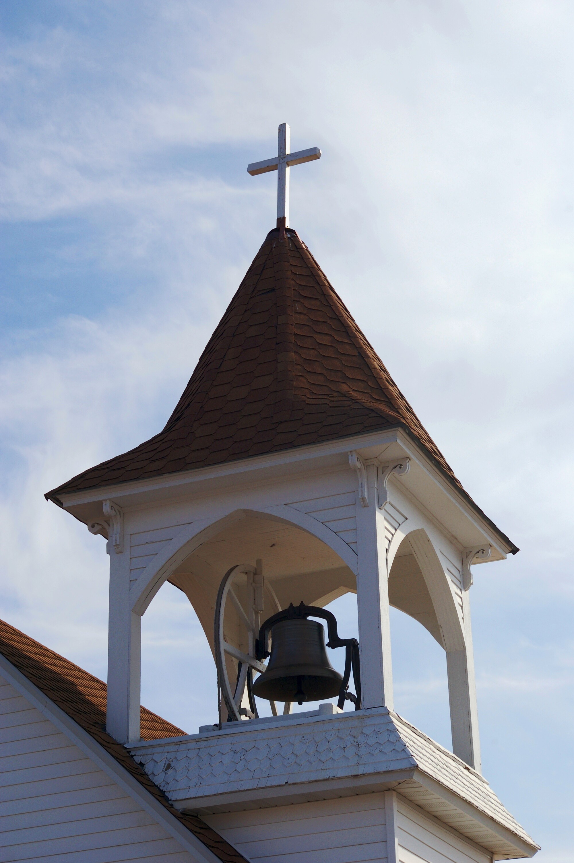
Bell Tower
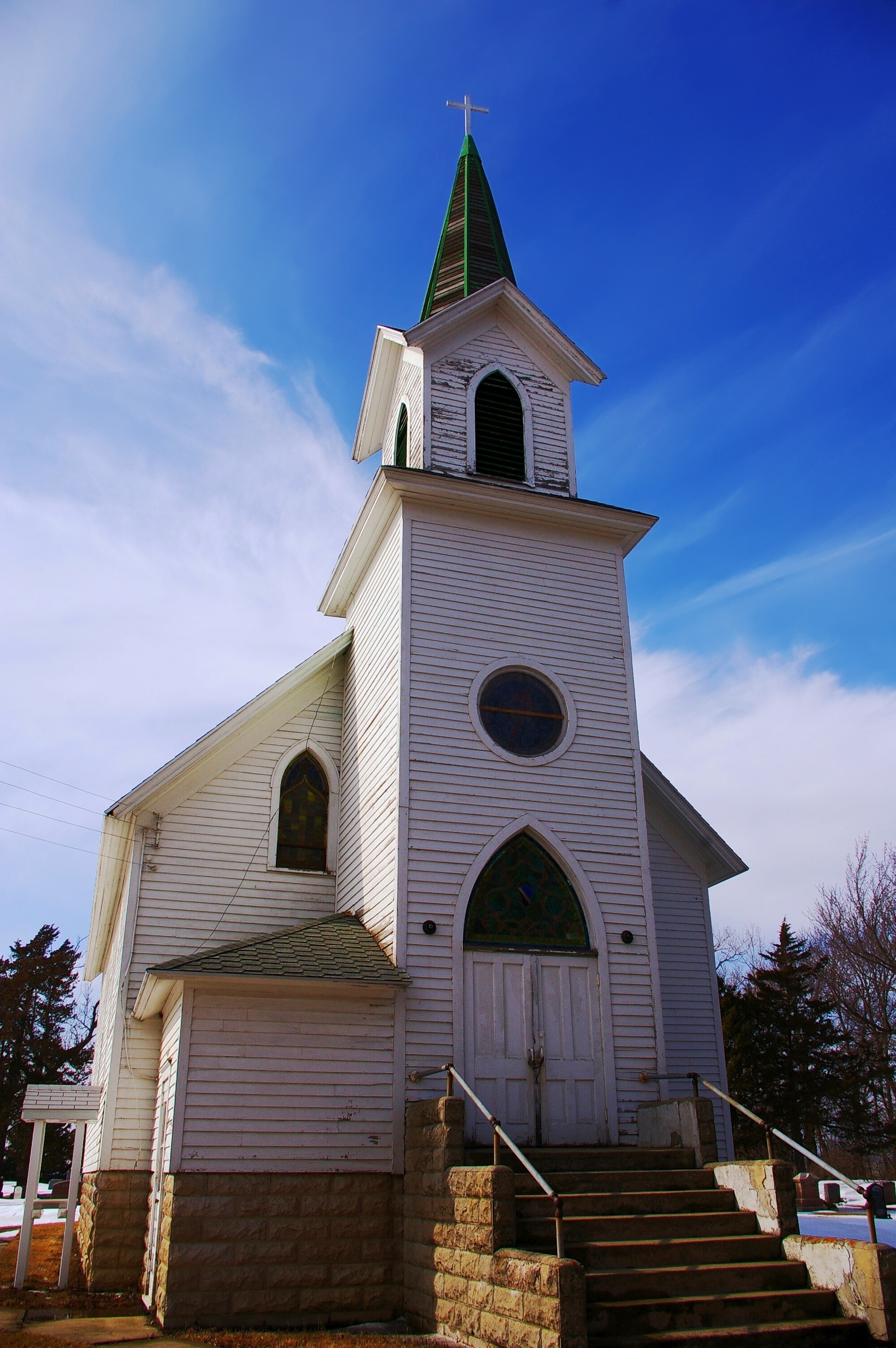
Lonely Church
Blue Heaven
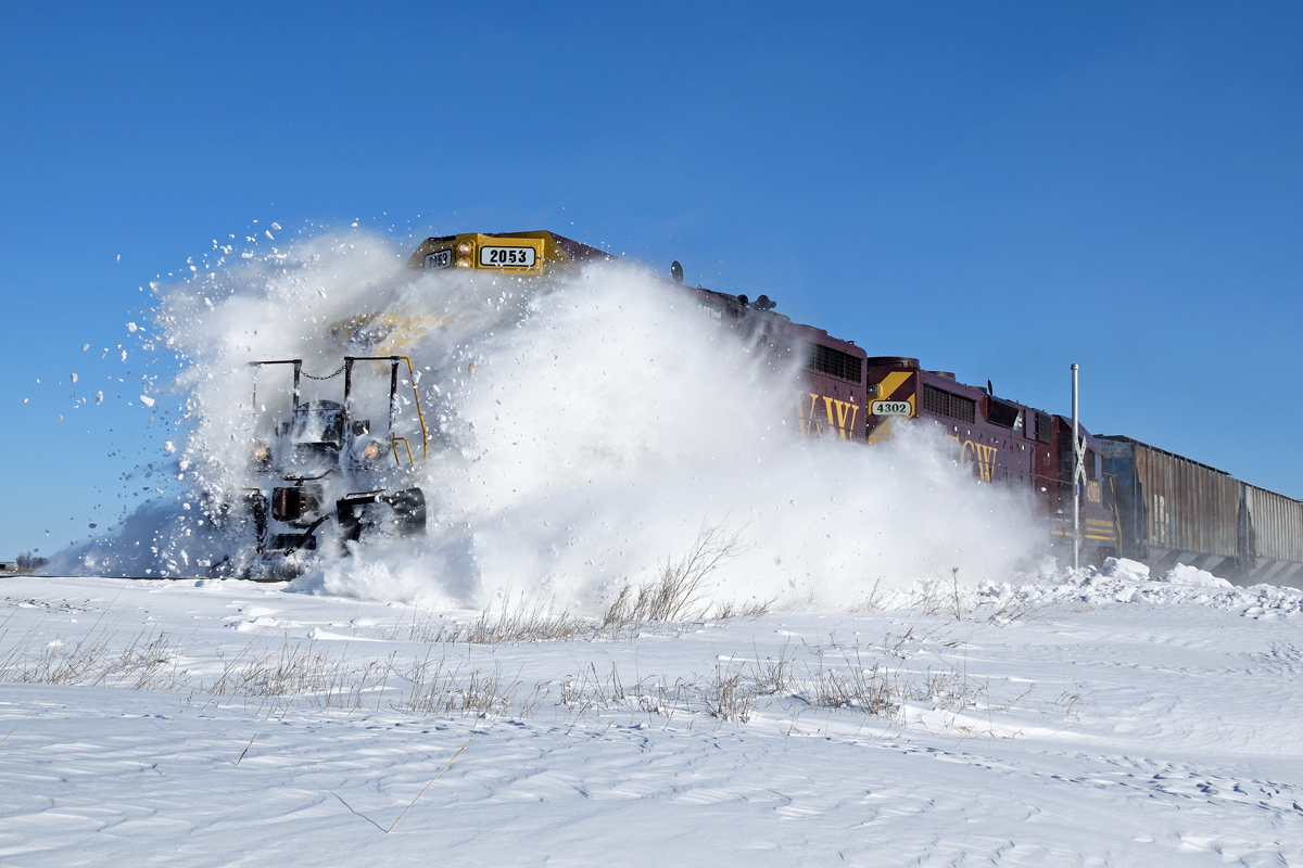
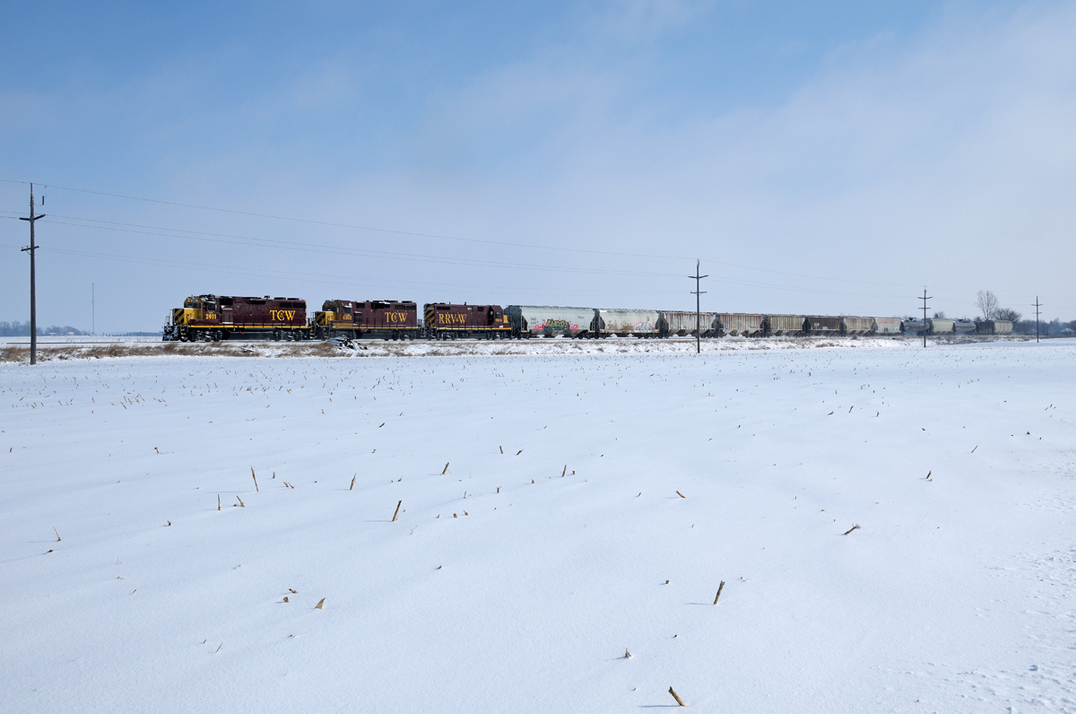
TC&W Drift Busting

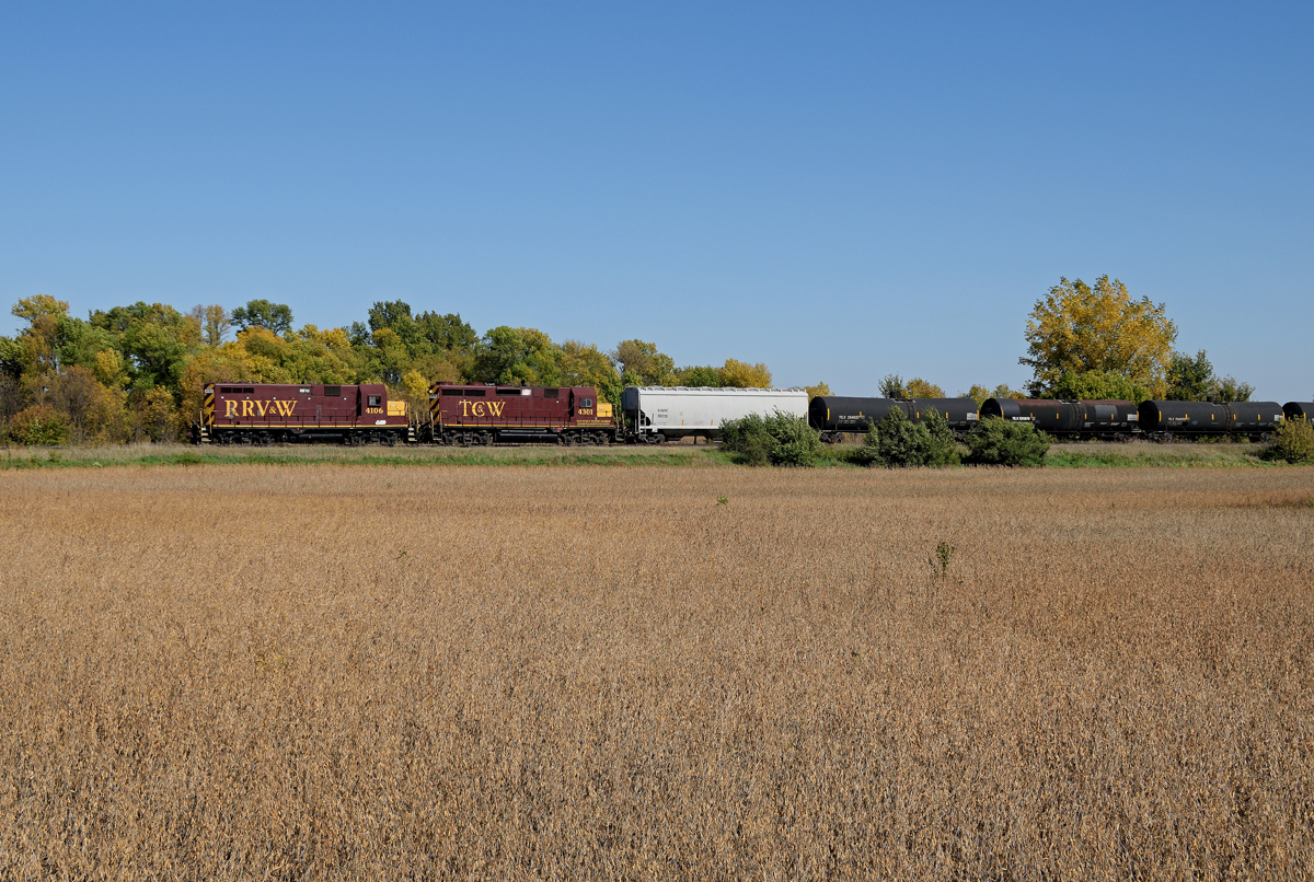
Ripening Soybeans

Blue Sky and Soy Beans

Stones in a Field

Looking South after Sunset
Heading out of Hector

Giant Cottonwood Tree and Me [5145]

Weekly Photo Challenge - Color

UP 7142 westbound at Buffalo Lake, MN
CATs and beans
Topographic Map of Co Rd 16, Hector, MN, USA
Find elevation by address:

Places near Co Rd 16, Hector, MN, USA:
Hector
Main St S, Hector, MN, USA
Main St, Bird Island, MN, USA
Cedar Mountain
Grafton Township
Renville County
63258 210th St
9th St S, Olivia, MN, USA
905 N 7th St
Olivia
Reservation Highway 101
Henryville Township
Beaver Falls Township
Co Rd 2, Redwood Falls, MN, USA
Stewart
551 Main St
Lakeview St, Lake Lillian, MN, USA
32118 850th Ave
th St, Evan, MN, USA
22712 30th St
Recent Searches:
- Elevation of Corso Fratelli Cairoli, 35, Macerata MC, Italy
- Elevation of Tallevast Rd, Sarasota, FL, USA
- Elevation of 4th St E, Sonoma, CA, USA
- Elevation of Black Hollow Rd, Pennsdale, PA, USA
- Elevation of Oakland Ave, Williamsport, PA, USA
- Elevation of Pedrógão Grande, Portugal
- Elevation of Klee Dr, Martinsburg, WV, USA
- Elevation of Via Roma, Pieranica CR, Italy
- Elevation of Tavkvetili Mountain, Georgia
- Elevation of Hartfords Bluff Cir, Mt Pleasant, SC, USA