Elevation of Co Hwy 2, Langsville, OH, USA

Location: United States > Ohio > Meigs County > Salem Township >

Longitude: -82.211616

Latitude: 39.0255935

Elevation: 247m / 810feet

Barometric Pressure: 98KPa

Elevation Map:

elevation map of Co Hwy 2, Langsville, OH, USA

Satellite Map:

Satellite map of Co Hwy 2, Langsville, OH, USA

Related Photos:

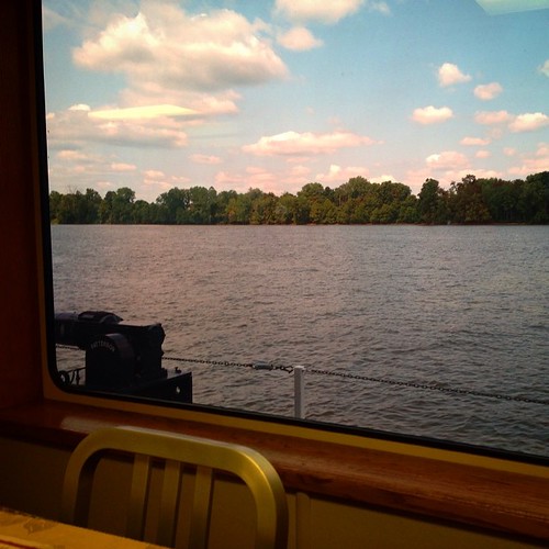
square squareformat iphoneography instagramapp uploaded:by=instagram
Had lunch with a view! #galley #boat #lovemyjob
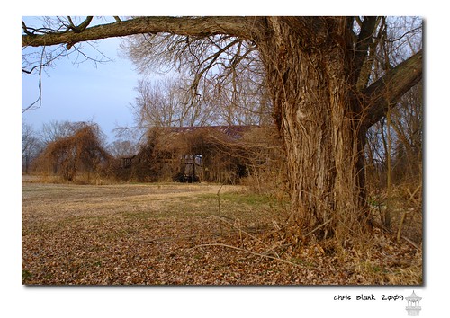
ohio barn
An old barn in Cheshire Ohio
columbus ohio rio grande evans state bob farms easton pomeroy
Pomeroy, OH 5
square squareformat iphoneography instagramapp uploaded:by=instagram
Views like this makes #exercise a little easier. #healthy #run #walk #justdoit
Green man
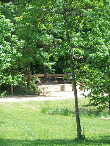
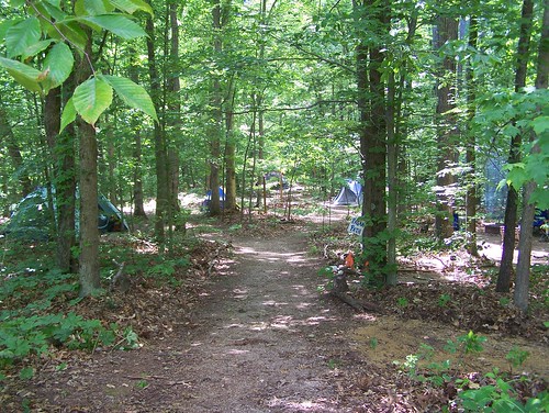
Campin'
railroad ohio storm clouds trains thunderstorm norfolksouthern westvirginiasecondary
Norfolk Southern Into the Storm
square squareformat iphoneography instagramapp uploaded:by=instagram
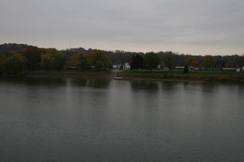
#fog #Ohio #river #OhioRiver
square squareformat iphoneography instagramapp uploaded:by=instagram
Tonight's #sunset
square squareformat iphoneography instagramapp uploaded:by=instagram
What a beautiful #sunrise
square squareformat mayfair iphoneography instagramapp uploaded:by=instagram foursquare:venue=4fd17aed4d2c3bc96e2a5cd7
Sitting here waiting for my oil to be changed and drinking my coffee...
square squareformat sutro iphoneography instagramapp uploaded:by=instagram foursquare:venue=4cbb61524495721e7659557a
Leading Creek Water Trail
square squareformat hefe iphoneography instagramapp uploaded:by=instagram foursquare:venue=4c90cc84ae96a093e6cb9d46
Evening walk with Daddy
Pomeroy-Mason Bridge
square squareformat rise iphoneography instagramapp uploaded:by=instagram foursquare:venue=4fd17aed4d2c3bc96e2a5cd7
Daddy and I are having a cup of coffee and watching the river flow by.
ohio landscape geotagged pomeroy meigs geo:lat=3902766 geo:lon=8203151
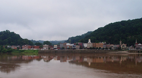
Pomeroy, Ohio
cheshireohio uploaded:by=flickrmobile flickriosapp:filter=nofilter
Natural and man made clouds
square squareformat iphoneography instagramapp uploaded:by=instagram
#fog #Ohio #river #OhioRiver
square lofi squareformat iphoneography instagramapp uploaded:by=instagram foursquare:venue=4e4ddcba628441666978f692
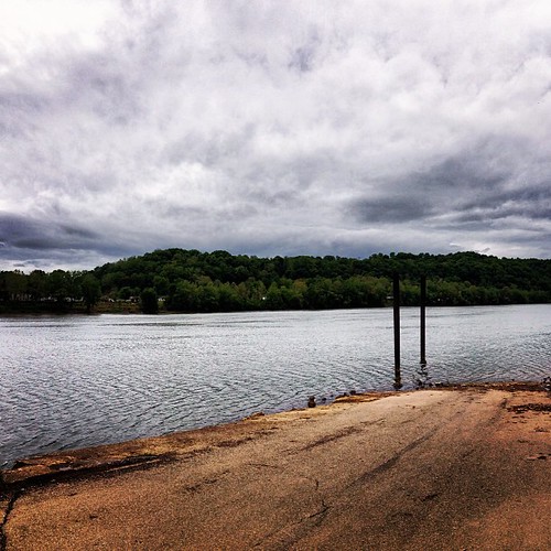
Middleport Boat Access #OhioRiver
blue sky green garden corn hills westvirginia
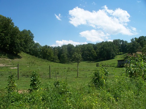
Aunt Velma's backyard
ohio landscape geotagged pomeroy meigs geo:lat=3902936 geo:lon=8203741
Sacred Heart Catholic Church - Pomeroy, Ohio
mothman pointpleasant silverbridge
Day 10: TNT Area
ohio landscape geotagged pomeroy meigs geo:lat=3902766 geo:lon=8203151
Pomeroy, Ohio 3
ohio landscape geotagged pomeroy meigs geo:lat=3902729 geo:lon=8203331
Main Street - Pomeroy Ohio
Pomeroy, OH