Elevation of Cline Rd, Honobia, OK, USA
Location: United States > Oklahoma > Le Flore County >
Longitude: -94.912388
Latitude: 34.5350368
Elevation: 279m / 915feet
Barometric Pressure: 98KPa
Elevation Map:
Satellite Map:
Related Photos:
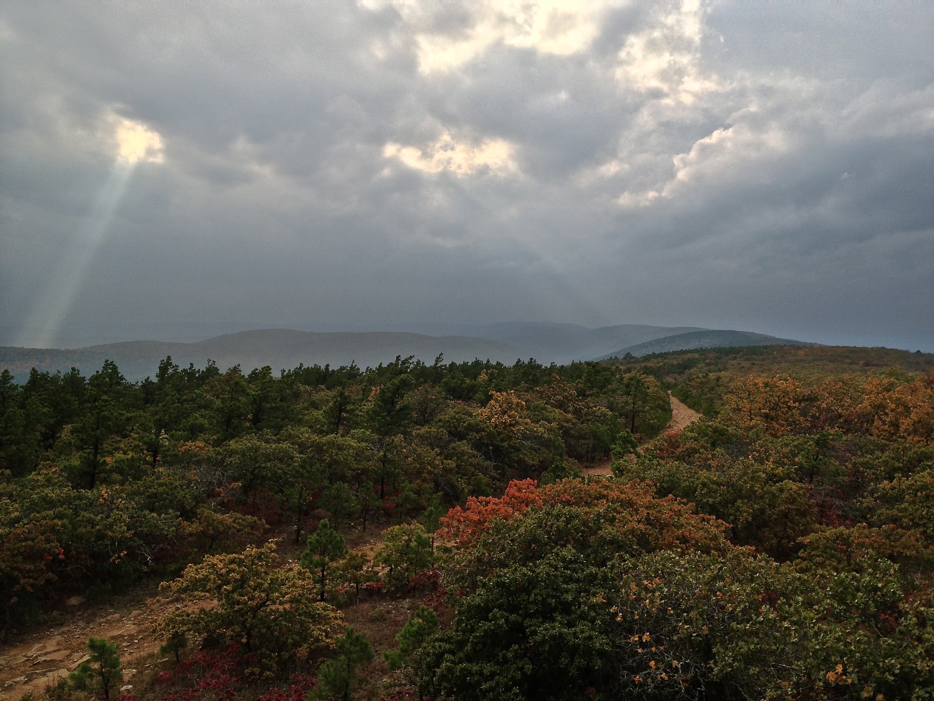
IMG_6305View of the K-Trail

IMG_6309K-Trail view

IMG_6289Views from the K-Trail

2015-DEC Honobia Creek & Ouachita NF

2015-DEC Honobia Creek & Ouachita NF

2015-DEC Honobia Creek & Ouachita NF

2015-DEC Honobia Creek & Ouachita NF

2015-DEC Honobia Creek & Ouachita NF
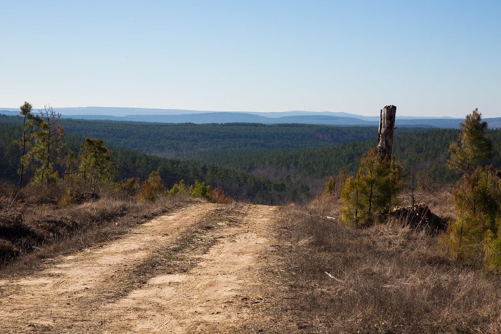
2015-DEC Honobia Creek & Ouachita NF
Topographic Map of Cline Rd, Honobia, OK, USA
Find elevation by address:

Places near Cline Rd, Honobia, OK, USA:
Whitesboro
Octavia
54042 Cut Off Rd
Talihina
Co Rd N, Wister, OK, USA
Clayton Lake State Park
Mccurtain County
Pushmataha County
Ouachita Mountains
US-, Broken Bow, OK, USA
Hochatown
Hoot Owl Hollow Cabin
Le Flore County
Cloudy
Clayton
S Main St, Red Oak, OK, USA
Red Oak
Beavers Bend State Resort Park
Howe, OK, USA
Lake Street
Recent Searches:
- Elevation of Corso Fratelli Cairoli, 35, Macerata MC, Italy
- Elevation of Tallevast Rd, Sarasota, FL, USA
- Elevation of 4th St E, Sonoma, CA, USA
- Elevation of Black Hollow Rd, Pennsdale, PA, USA
- Elevation of Oakland Ave, Williamsport, PA, USA
- Elevation of Pedrógão Grande, Portugal
- Elevation of Klee Dr, Martinsburg, WV, USA
- Elevation of Via Roma, Pieranica CR, Italy
- Elevation of Tavkvetili Mountain, Georgia
- Elevation of Hartfords Bluff Cir, Mt Pleasant, SC, USA