Elevation of Clifford, Minto, ON N0G, Canada
Location: Canada > Ontario > Bruce County > South Bruce >
Longitude: -80.978719
Latitude: 43.969316
Elevation: 375m / 1230feet
Barometric Pressure: 97KPa
Elevation Map:
Satellite Map:
Related Photos:

Its My Pleasure – (HDR/Tone-Mapped)
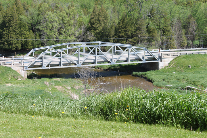
Our View
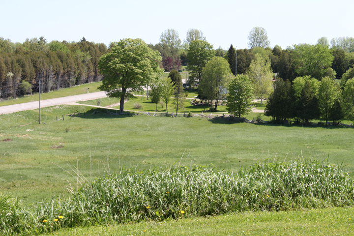
Our View

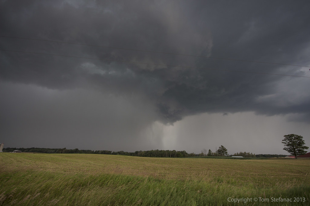
Storm #1

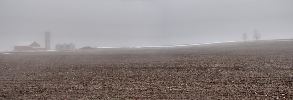
Southern Flank
Rainy Core
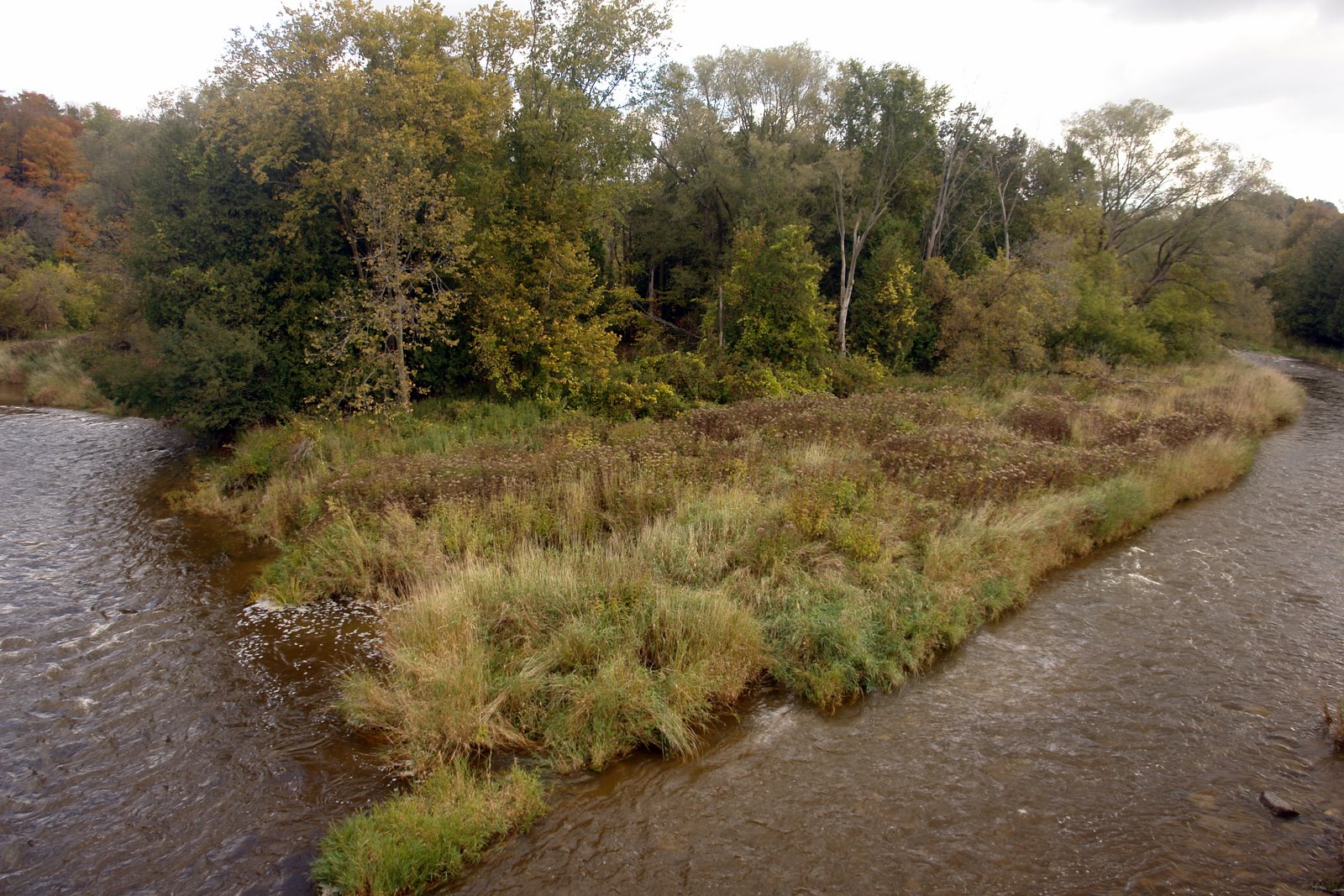
Split River
Wrapped bales

Left BPNP in a flurry.
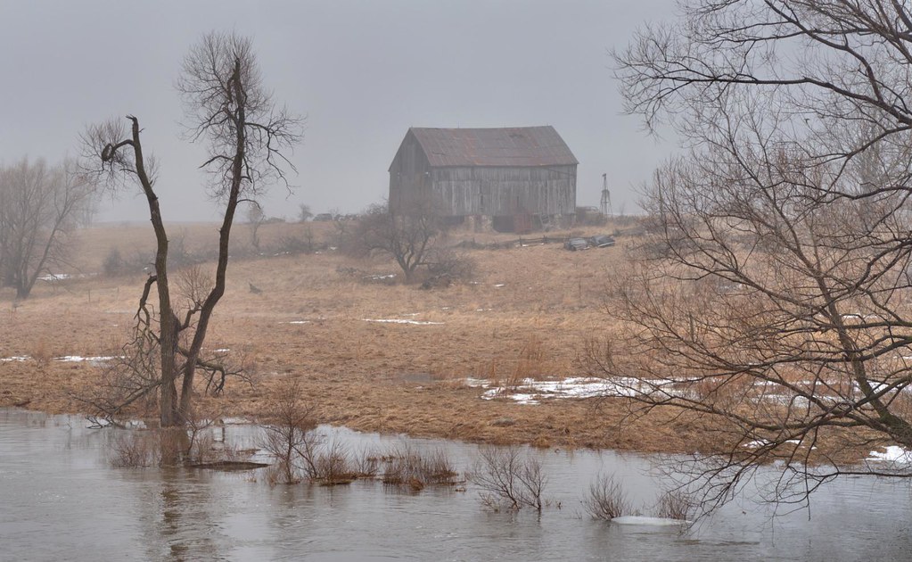
Barn by the Maitland
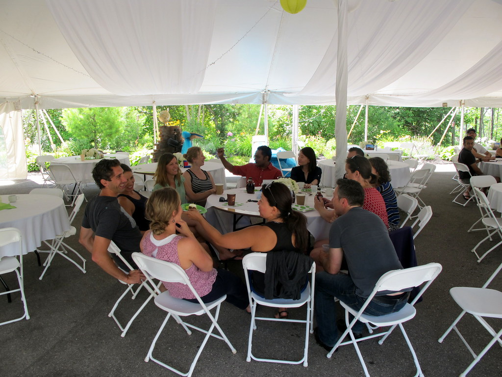
Wedding Brunch

Wedding Jump

Vancouver Wedding Guests

Vancouver Wedding Guests

Wedding Guests
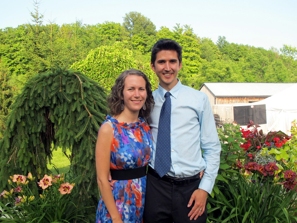
Emily and I
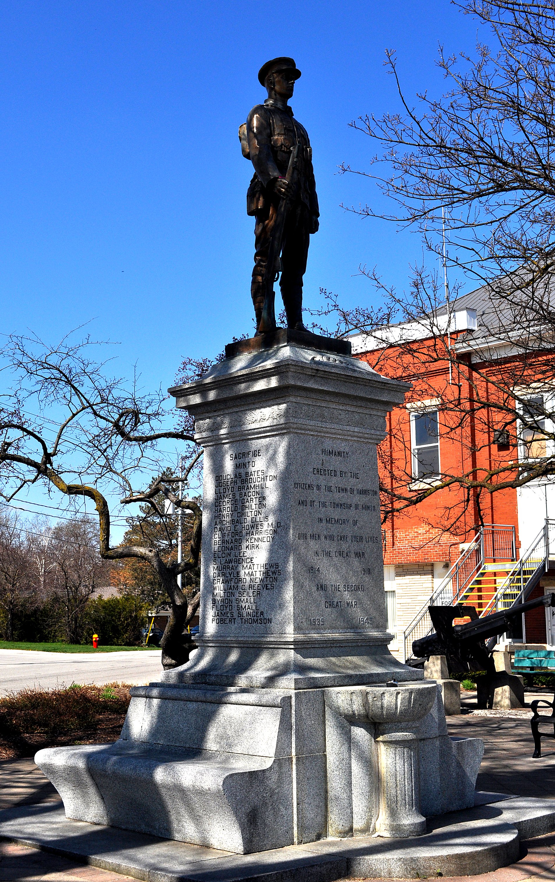
Harriston Cenotaph

Driving Range
Topographic Map of Clifford, Minto, ON N0G, Canada
Find elevation by address:

Places in Clifford, Minto, ON N0G, Canada:
Places near Clifford, Minto, ON N0G, Canada:
55 King St N, Harriston, ON N0G 1Z0, Canada
Harriston
48 Wilson St
24 George St N
24 George St N
24 George St N
Huron Bruce Rd, Clifford, ON N0G 1M0, Canada
Minto
Mildmay
6 Pinkerton St
Concession Road 18
Gorrie
Albert Street South
42195 Rd 71
Palmerston
Whites Road
Hanover
North Perth
Dove Road
Allan Park
Recent Searches:
- Elevation of Corso Fratelli Cairoli, 35, Macerata MC, Italy
- Elevation of Tallevast Rd, Sarasota, FL, USA
- Elevation of 4th St E, Sonoma, CA, USA
- Elevation of Black Hollow Rd, Pennsdale, PA, USA
- Elevation of Oakland Ave, Williamsport, PA, USA
- Elevation of Pedrógão Grande, Portugal
- Elevation of Klee Dr, Martinsburg, WV, USA
- Elevation of Via Roma, Pieranica CR, Italy
- Elevation of Tavkvetili Mountain, Georgia
- Elevation of Hartfords Bluff Cir, Mt Pleasant, SC, USA