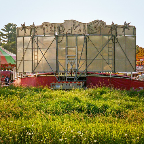
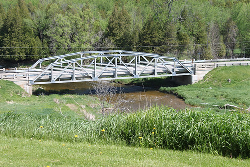
Elevation of 48 Wilson St, Harriston, ON N0G 1Z0, Canada
Location: Canada > Ontario > Wellington County > Minto > Harriston >
Longitude: -80.874146
Latitude: 43.9081581
Elevation: 385m / 1263feet
Barometric Pressure: 97KPa
Related Photos:
Topographic Map of 48 Wilson St, Harriston, ON N0G 1Z0, Canada
Find elevation by address:

Places near 48 Wilson St, Harriston, ON N0G 1Z0, Canada:
Harriston
55 King St N, Harriston, ON N0G 1Z0, Canada
24 George St N
24 George St N
24 George St N
Minto
Whites Road
Palmerston
42195 Rd 71
Clifford
Wellington Rd, Palmerston, ON N0G 2P0, Canada
8610 Concession Rd 12
North Perth
160 S Water St
Mount Forest
Fergus Street North
Walsh's Ida Pharmacy
7268 Side Rd 6
7268 Side Rd 6
886 Richmond Ave N
Recent Searches:
- Elevation of Corso Fratelli Cairoli, 35, Macerata MC, Italy
- Elevation of Tallevast Rd, Sarasota, FL, USA
- Elevation of 4th St E, Sonoma, CA, USA
- Elevation of Black Hollow Rd, Pennsdale, PA, USA
- Elevation of Oakland Ave, Williamsport, PA, USA
- Elevation of Pedrógão Grande, Portugal
- Elevation of Klee Dr, Martinsburg, WV, USA
- Elevation of Via Roma, Pieranica CR, Italy
- Elevation of Tavkvetili Mountain, Georgia
- Elevation of Hartfords Bluff Cir, Mt Pleasant, SC, USA


