Elevation of Clearlake, CA, USA
Location: United States > California > Lake County >

Longitude: -122.62637

Latitude: 38.9582307

Elevation: 437m / 1434feet

Barometric Pressure: 96KPa

Elevation Map:

elevation map of Clearlake, CA, USA
Satellite Map:

Satellite map of Clearlake, CA, USA

Related Photos:

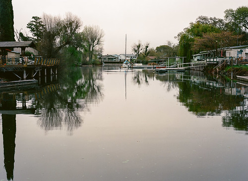
california lake 120 mediumformat landscape iso100 dock pentax kodak earlymorning lakeside clearlake stillwater lakefront waterscape kodakfilm ektar 75mm deadcalm kodakektar 6x45cm pentax645nii ektar100 clearlakeoaks
Still Morning Waters
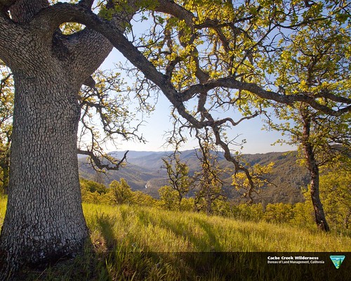
california nature landscape wildlife scenic wilderness blmcalifornia getoutside conservationlands getoutdoors mypubliclands seeblm
Cache Creek Wilderness
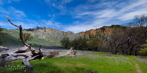
life california wood old travel blue sky sun mountain plant mountains color tree green nature field grass clouds creek landscape dead log sand scenery view natural outdoor background country scenic meadow sunny hike trail land remote cache wilderness redbud blm
Cache Creek Wilderness
cameraphone bravo5org:aperture_imported=true aperture:version_id=zeghcfnjtmam3nkia6mgw
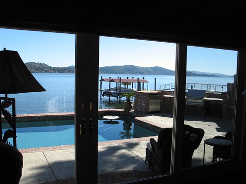
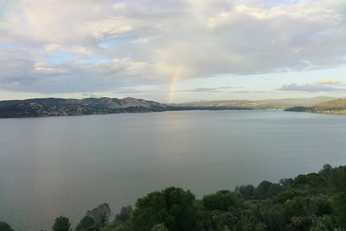
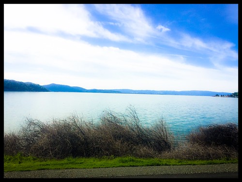
View from our window — Clear Lake, CA
usa mountains hot mike andy high walk caroline sunny mum views mountsthelena fireroads mountkonocti may2014 mumsvisittousa
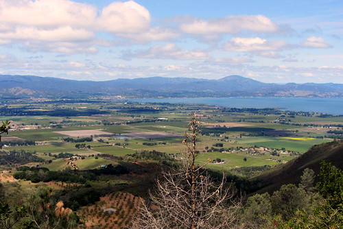
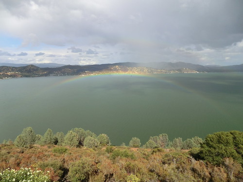
Clear Lake pano..
dr eastlake 2710
2710 Eastlake Drive, Buckingham 036
usa mountains hot mike andy high walk caroline sunny mum views mountsthelena fireroads mountkonocti may2014 mumsvisittousa
Views on way up..
longviewroad countyoflake ca ranch view trees autumn
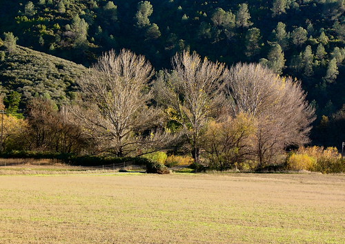
Longview Road, County of Lake, Ca
dr eastlake 2710
2710 Eastlake Drive, Buckingham 024
usa mountains hot mike andy high walk caroline sunny mum views mountsthelena fireroads mountkonocti may2014 mumsvisittousa
From other summit..
longviewroadcountyoflakeca trees view autumn
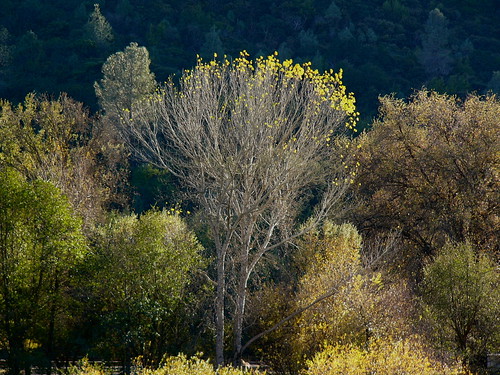
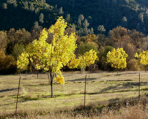
Tree Line on Longview Road, County of Lake, Ca
usa mountains hot mike andy high walk caroline sunny mum views mountsthelena fireroads mountkonocti may2014 mumsvisittousa
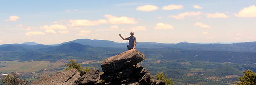
Highest point at top..
pov quad pointofview tbs discovery fpv eagletree naza quadcopter mikrokopter ezosd ezuhf epiosd firstpersonvideo qav500 teamblacksheep
Clearlake, Ca
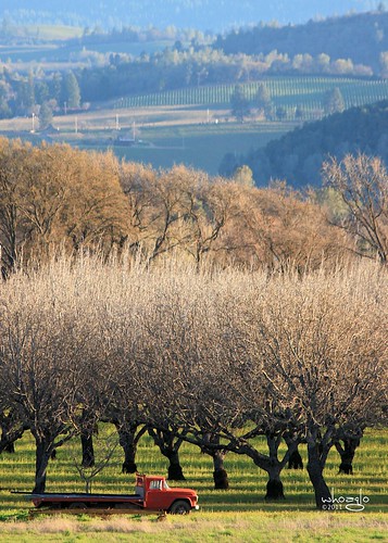
trees vineyard view walnuts orchard hills oldtruck redtruck clearlakeca
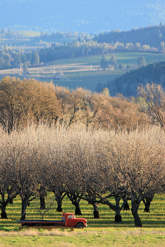
Old red truck
longviewroadcountyoflakeca trees view autumn
Longview Road, County Lake
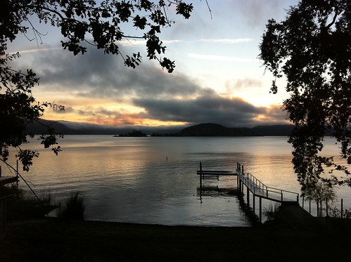
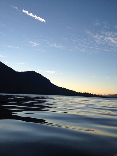
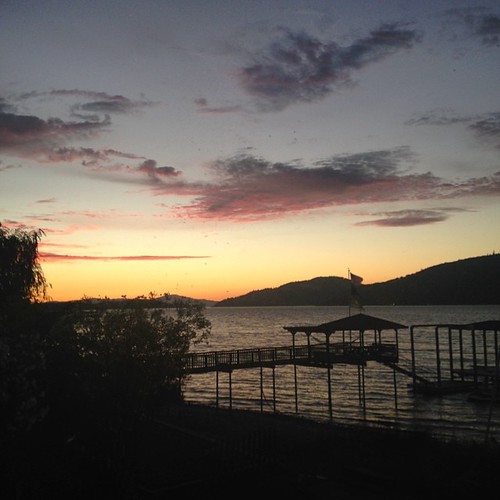
sunset summer mountain lake love home water beautiful silhouette night landscape perfect pretty view boating algae glassy 2012 iphone kelseyville
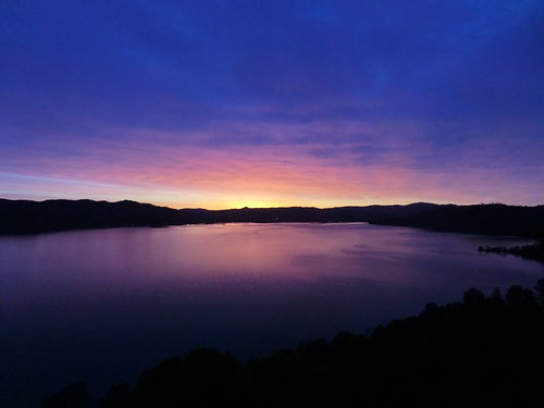
lake sunset
dr eastlake 2710
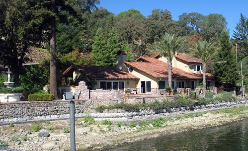
2710 Eastlake Drive, Buckingham 011
vineyard view sundown orchard redtruck walnutorchard clearlakeca
Old red truck at sundown
usa mountains hot mike andy high walk caroline sunny mum views mountsthelena fireroads mountkonocti may2014 mumsvisittousa
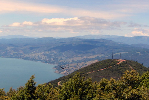
From the top pano..
dr eastlake 2710
2710 Eastlake Drive, Buckingham 041
pov quad pointofview tbs discovery fpv eagletree naza quadcopter mikrokopter ezosd ezuhf epiosd firstpersonvideo qav500 teamblacksheep
Clearlake, Ca
11-1 CIMG5504
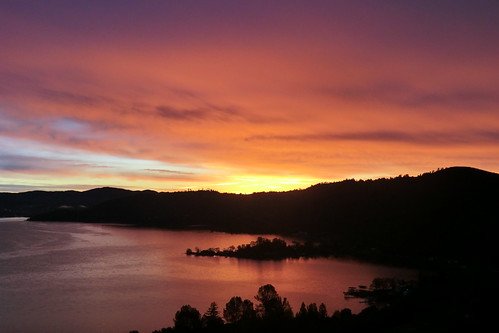
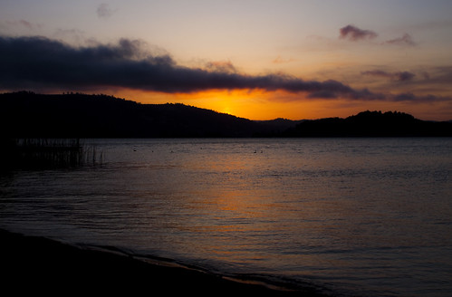
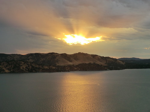
Clear Lake Sunset
02-1 CIMG3820
trees clearlake lakecounty morningsun iphone4s
Lake County springtime
Clearlake Setting Sun
_6190070.NEF
12-CIMG3578
05-001
04-1 CIMG4071
california forest landscape exterior unitedstates cobb middletown throughthetrees sigma30mmf14exdchsm canoneos30d
Hiking in Cobb. California (United States)
silhouette clearlake buckingham kellseyville
Sunrise-Kelseyville
Clear Lake, CA
wood trip travel camping light wild camp vacation food man nature night forest trekking dark relax landscape fun outside happy fire evening log warm outdoor hiking country peaceful adventure campfire flame burn heat backpack leisure blaze wilderness camper firewood wildfire coals tending
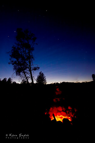
Aglow in the Cache Creek Wilderness
square squareformat iphoneography instagramapp uploaded:by=instagram
Living easy
06-2 CIMG4629
10-CIMG3398
05-2 CIMG4220
09-1 CIMG5409