Elevation of Clayhatchee, AL, USA
Location: United States > Alabama > Dale County >
Longitude: -85.722711
Latitude: 31.2357293
Elevation: 60m / 197feet
Barometric Pressure: 101KPa
Elevation Map:
Satellite Map:
Related Photos:

Storage Building 6008 - Fort Rucker

Five Hueys - Fort Rucker

UH-1 Huey line-up - Fort Rucker
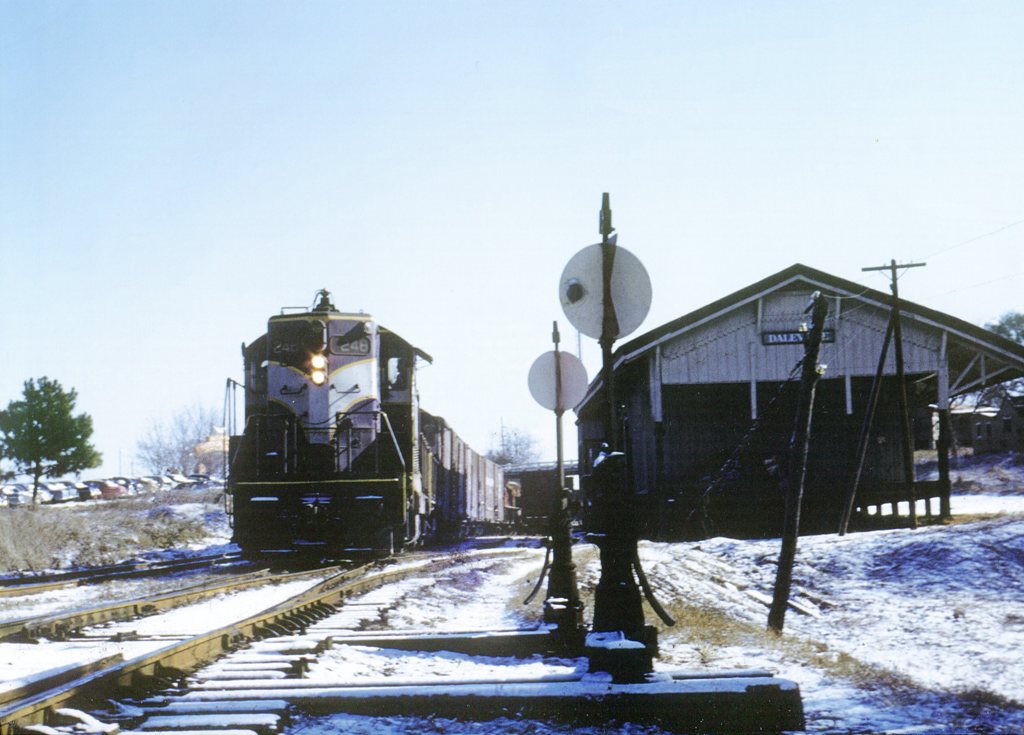
ACL 248

CH-47A

IMG_4936.JPG

IMG_4935.JPG

Streetside view

Cotton field back home

Pam Stevens & Chloe

Jacob Brown with Holly Instaxwide 05.24.2016

Jacob Brown with Holly Instaxwide 05.24.2016

Holly Instaxwide 05.24.16

Instax Wide 05.06.2016

Instax Wide 05.06.2016

Instax Wide 05.06.2016

Instax Wide 05.06.2016

65-7992

94-0327
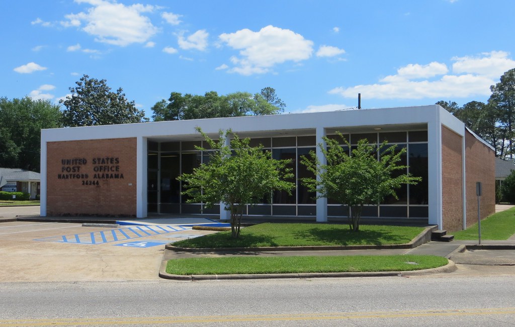
Hartford AL 36344
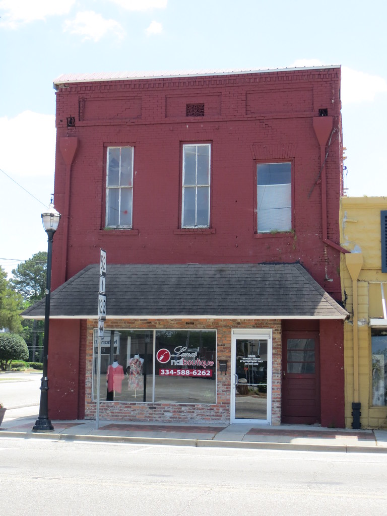
Commercial Hartford AL
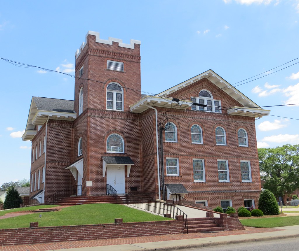
First UMC Hartford AL
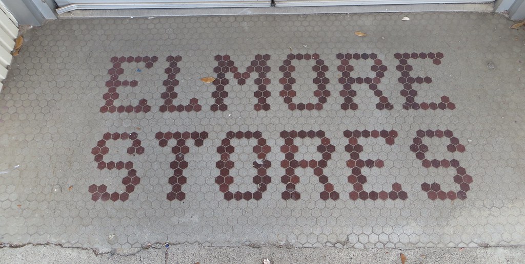
Elmore Stores Mosaic Enterprise AL
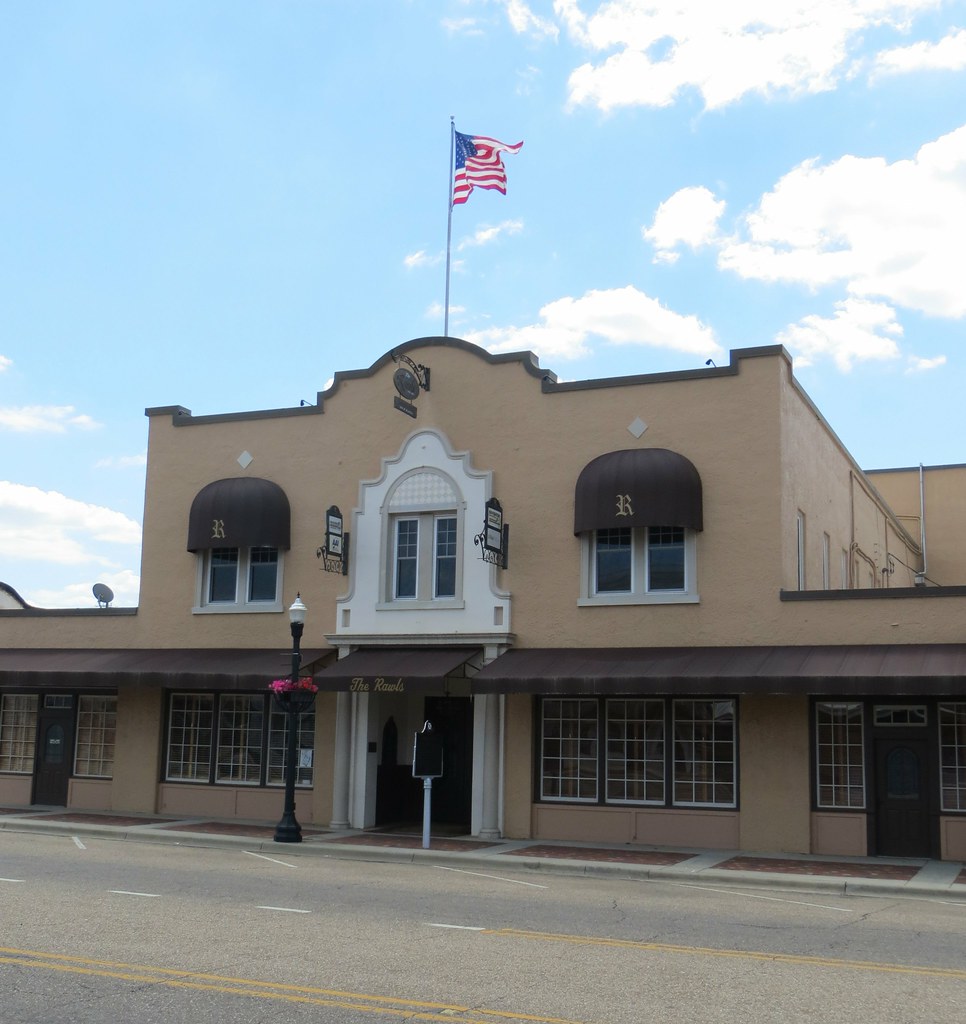
Rawls Hotel 1 Enterprise AL

Boyd & Company Hardware Enterprise AL
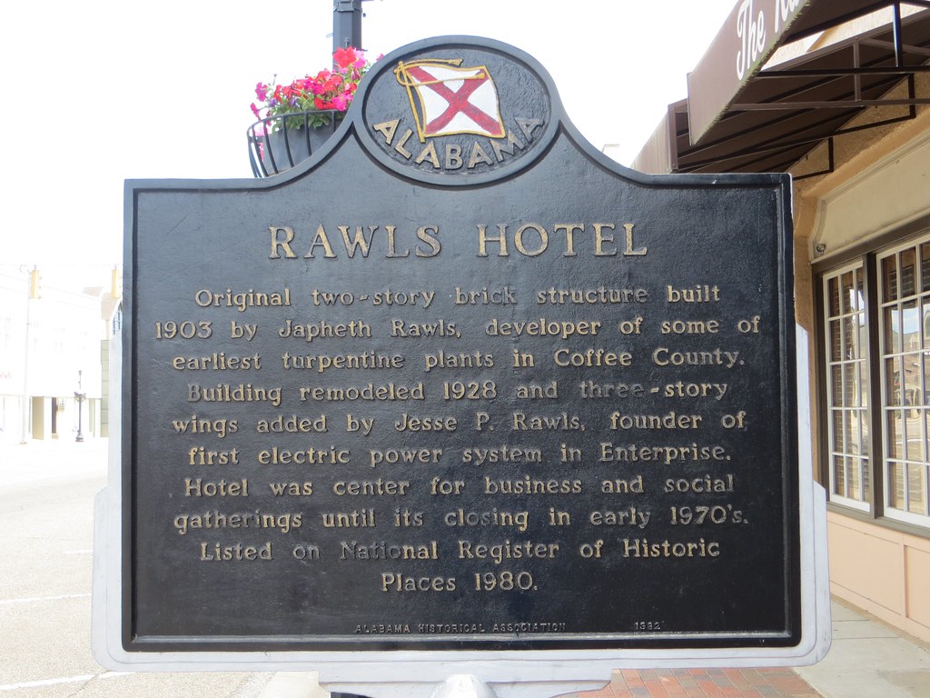
Rawls Hotel Marker Enterprise AL
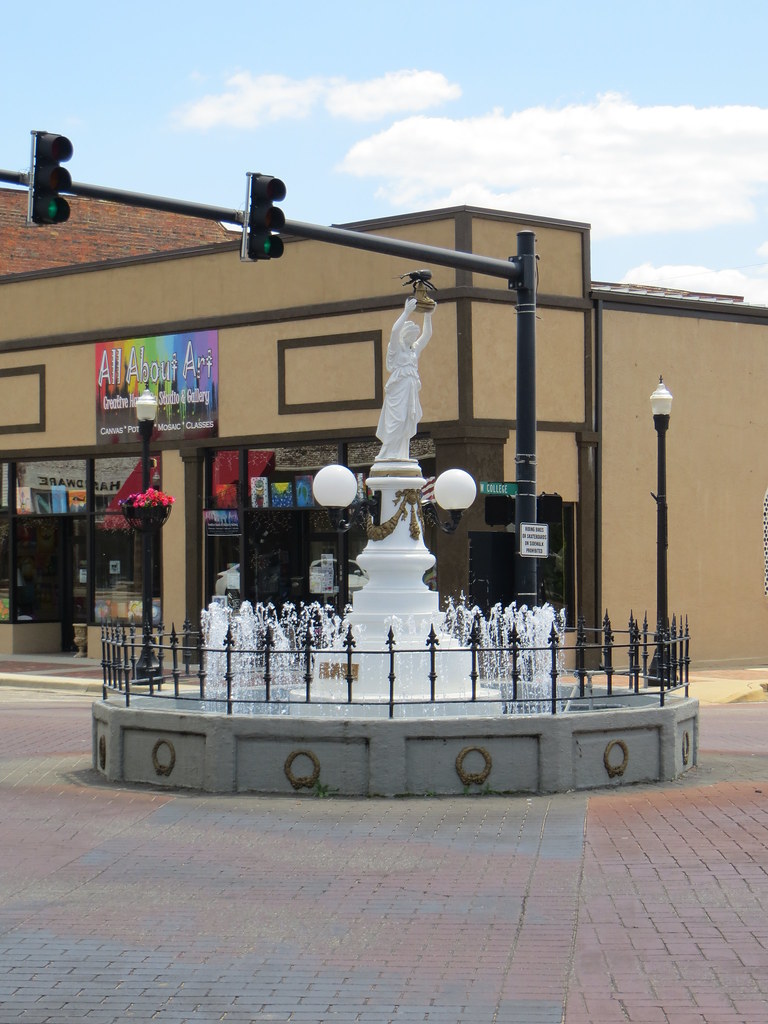
Boll Weevil Monument Enterprise AL
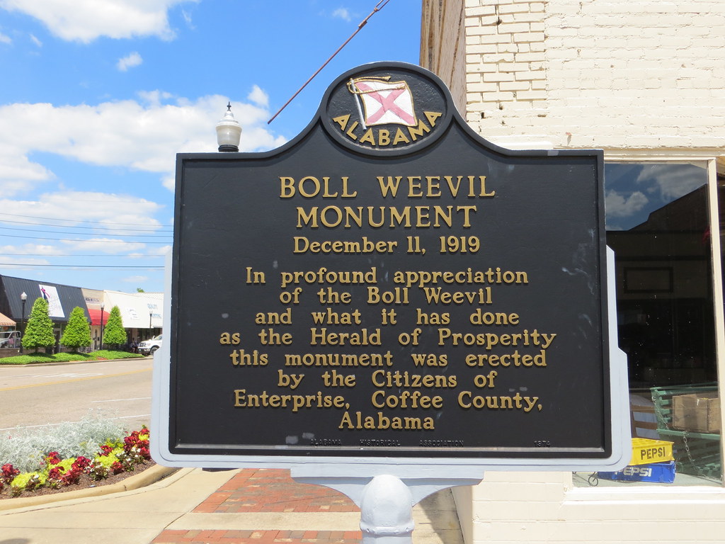
Boll Weevil Monument Marker Enterprise AL
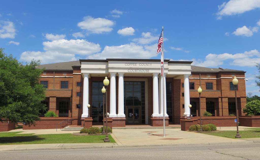
Coffee Co CH Enterprise AL
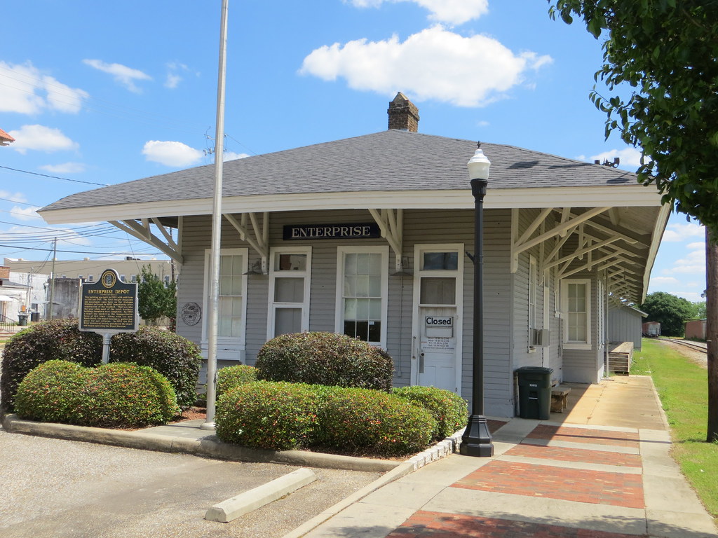
Seaboard Coastline Depot 1 Enterprise AL
Topographic Map of Clayhatchee, AL, USA
Find elevation by address:

Places in Clayhatchee, AL, USA:
Places near Clayhatchee, AL, USA:
Pouncey Farm Rd, Daleville, AL, USA
15987 Us-84
Co Rd 41, Hartford, AL, USA
33 AL-, Newton, AL, USA
Judge Logue Rd, Newton, AL, USA
Bald Hill Rd, Slocomb, AL, USA
Main St, Hartford, AL, USA
Tim Helms Rd, Slocomb, AL, USA
201 Summer Rd
312 Old Fadette Hwy
N Main St, Slocomb, AL, USA
Malvern
103 Oakhill Rd
Mount Gilead Church Road
64 N Brannon Stand Rd, Dothan, AL, USA
3052 Trawick Rd
Imperial Dr, Dothan, AL, USA
Sunnybrook Ct, Dothan, AL, USA
105 Mill Pond Dr
Arvie Dr, Taylor, AL, USA
Recent Searches:
- Elevation of Corso Fratelli Cairoli, 35, Macerata MC, Italy
- Elevation of Tallevast Rd, Sarasota, FL, USA
- Elevation of 4th St E, Sonoma, CA, USA
- Elevation of Black Hollow Rd, Pennsdale, PA, USA
- Elevation of Oakland Ave, Williamsport, PA, USA
- Elevation of Pedrógão Grande, Portugal
- Elevation of Klee Dr, Martinsburg, WV, USA
- Elevation of Via Roma, Pieranica CR, Italy
- Elevation of Tavkvetili Mountain, Georgia
- Elevation of Hartfords Bluff Cir, Mt Pleasant, SC, USA