Elevation of Cl. 20 #, Baranoa, Atlántico, Colombia
Location: Colombia >
Longitude: -74.913398
Latitude: 10.7939797
Elevation: 119m / 390feet
Barometric Pressure: 100KPa
Elevation Map:
Satellite Map:
Related Photos:
Rain storm coming landed at first drops.
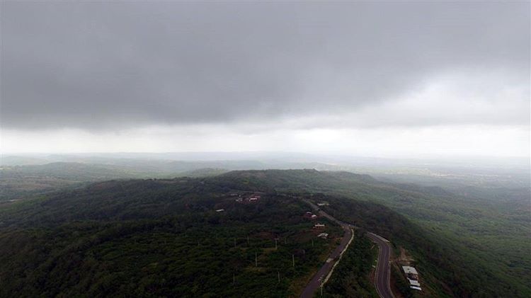
Somewhere over tubara. Radar dome in the distance.
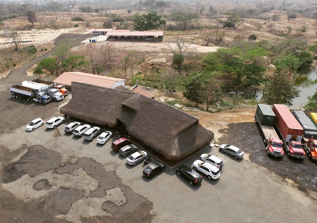
Truck stop on the road between Barranquilla and Sabanalarga atlántico. My auto. On the far right. Traditional food. Parada de camiones. Camino entre Barranquilla y Sabanalarga Atlantico. Comida sabanera. #truck #truckstop #camiones #road #roadtrip #g

#wall #shore #beach #waves #instalike #bnwcaptures #bnw_lovers #bnw #blackandwhite #blancoynegro #noir #blackandwhitephotography #igersbarranquilla #santaveronica #canonsx510hs #sx510hs #like4like

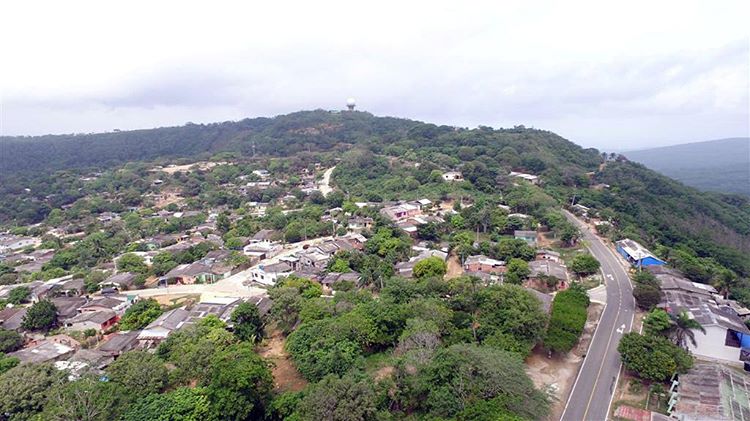
Esperando el carnaval del recuerdo
IMG_1503-
Topographic Map of Cl. 20 #, Baranoa, Atlántico, Colombia
Find elevation by address:

Places near Cl. 20 #, Baranoa, Atlántico, Colombia:
Atlantico
Malambo
Malambo
Soledad
Agua Viva
Los Corales
Metropolitan Stadium - Roberto Melendez
Villa Soledad
Aguaviva
Carrera 19
Soledad
Piojo
Barranquilla
Barranquilla
Luruaco
Luruaco
Santa Catalina
Santa Catalina
Santa Lucía
Villanueva
Recent Searches:
- Elevation of Corso Fratelli Cairoli, 35, Macerata MC, Italy
- Elevation of Tallevast Rd, Sarasota, FL, USA
- Elevation of 4th St E, Sonoma, CA, USA
- Elevation of Black Hollow Rd, Pennsdale, PA, USA
- Elevation of Oakland Ave, Williamsport, PA, USA
- Elevation of Pedrógão Grande, Portugal
- Elevation of Klee Dr, Martinsburg, WV, USA
- Elevation of Via Roma, Pieranica CR, Italy
- Elevation of Tavkvetili Mountain, Georgia
- Elevation of Hartfords Bluff Cir, Mt Pleasant, SC, USA