Elevation map of Atlantico, Colombia
Location: Colombia >
Longitude: -74.874104
Latitude: 10.6966159
Elevation: 87m / 285feet
Barometric Pressure: 100KPa
Elevation Map:
Satellite Map:
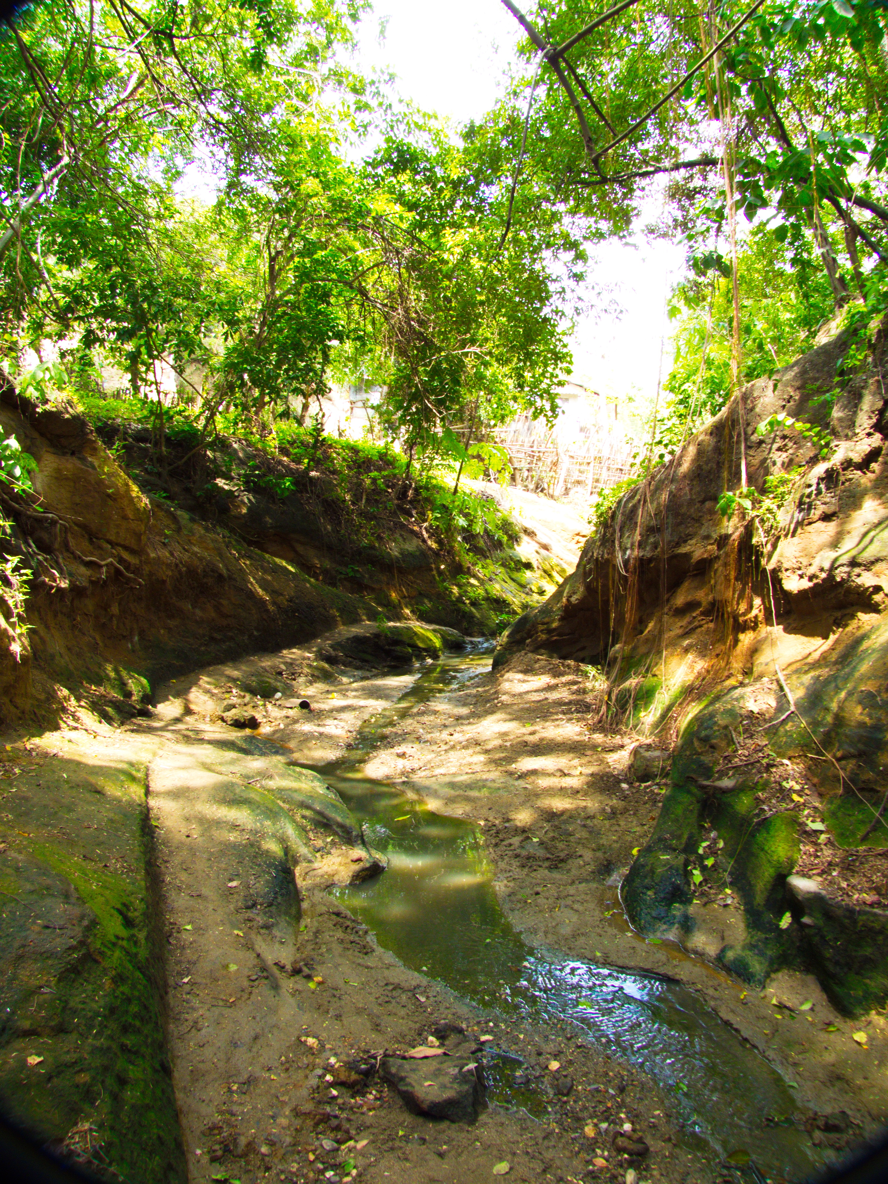
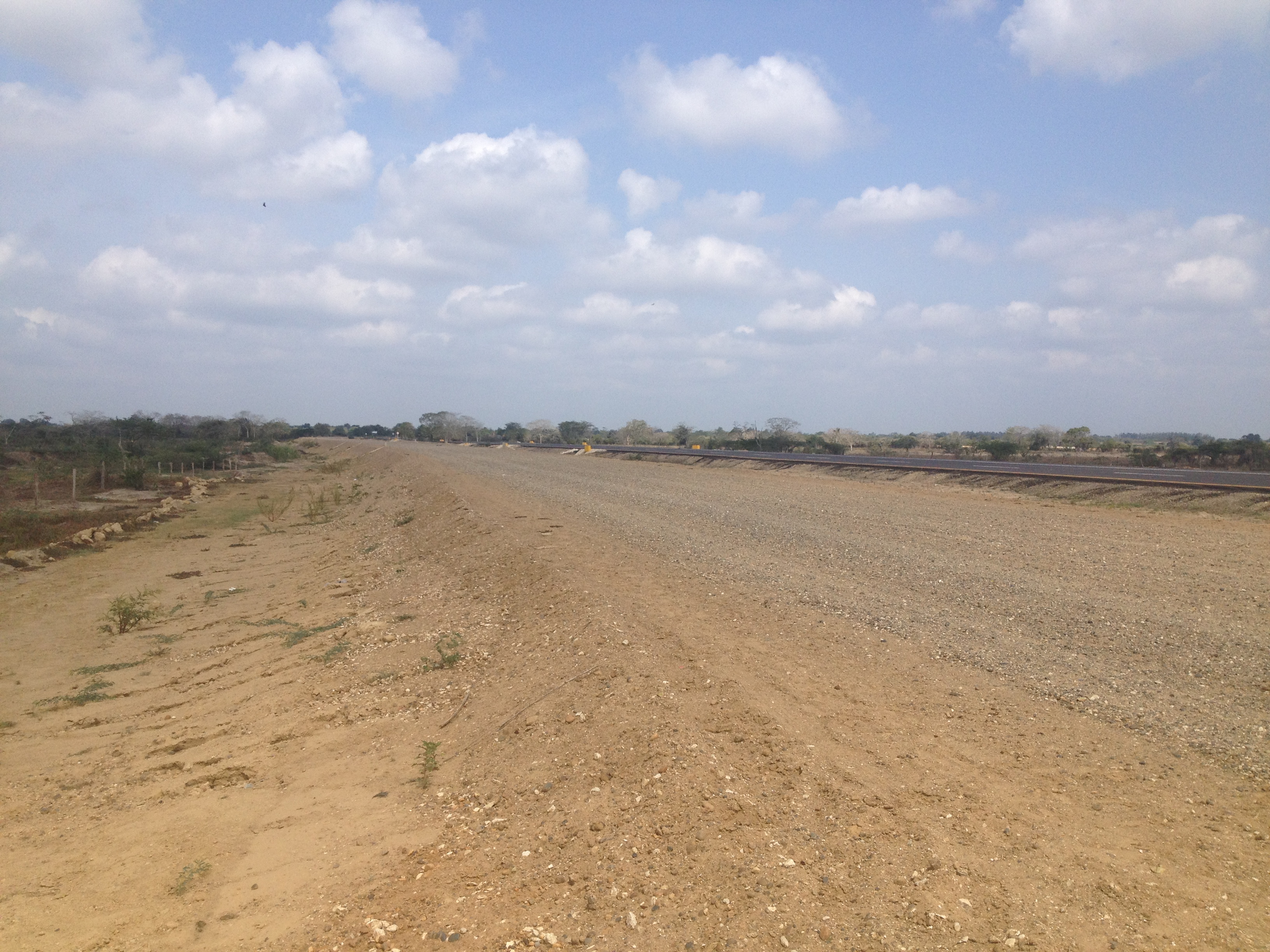
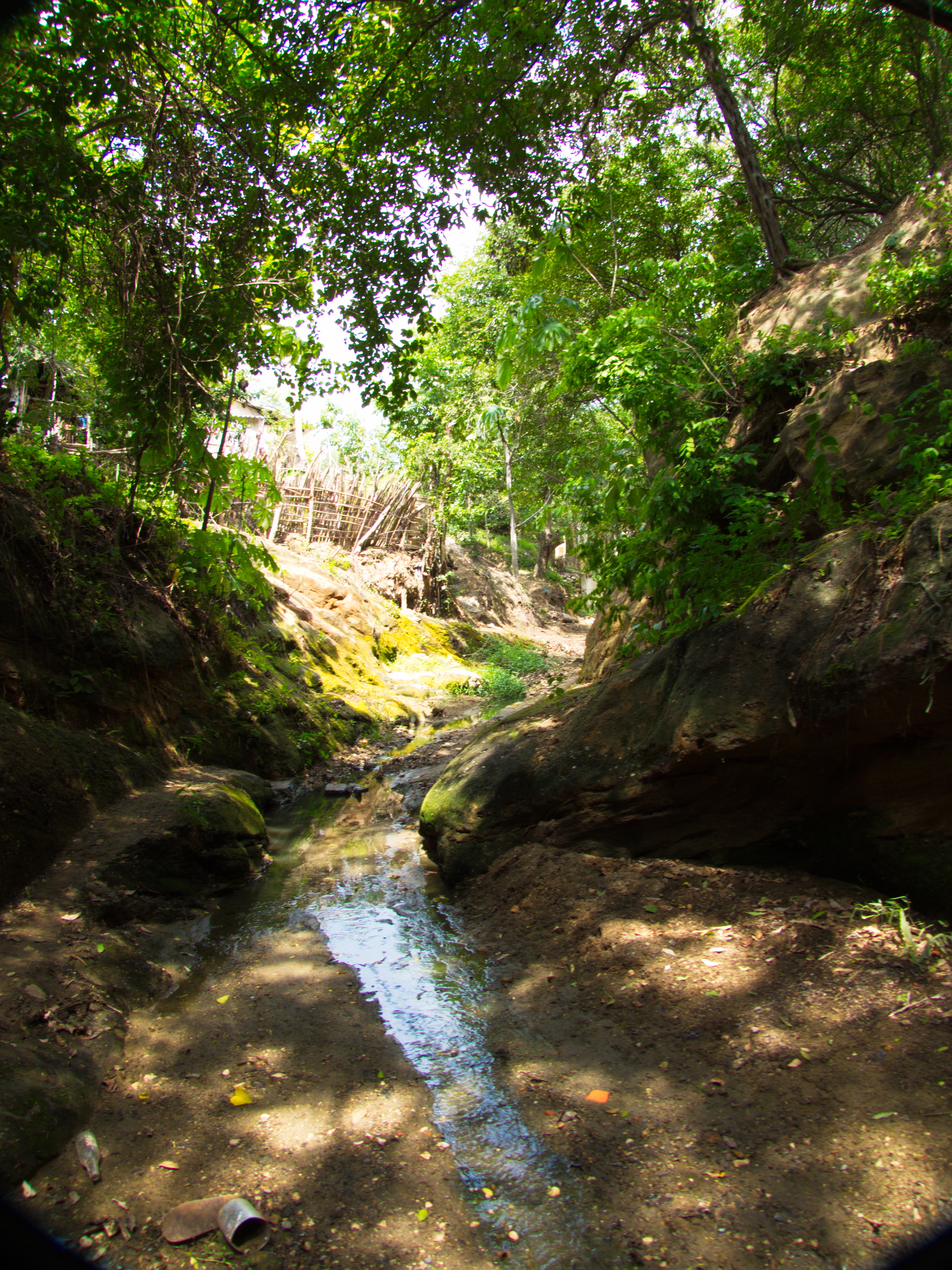
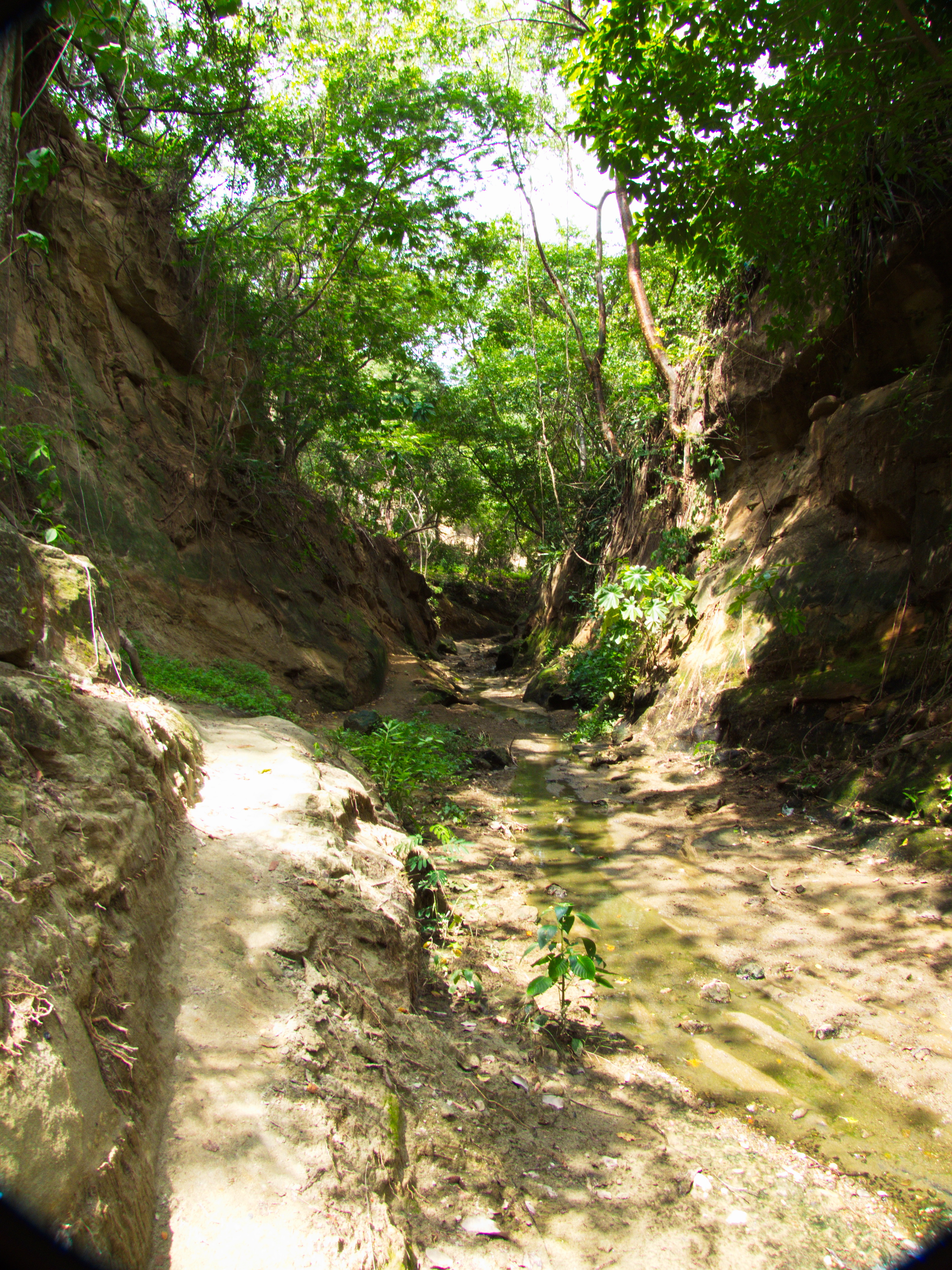
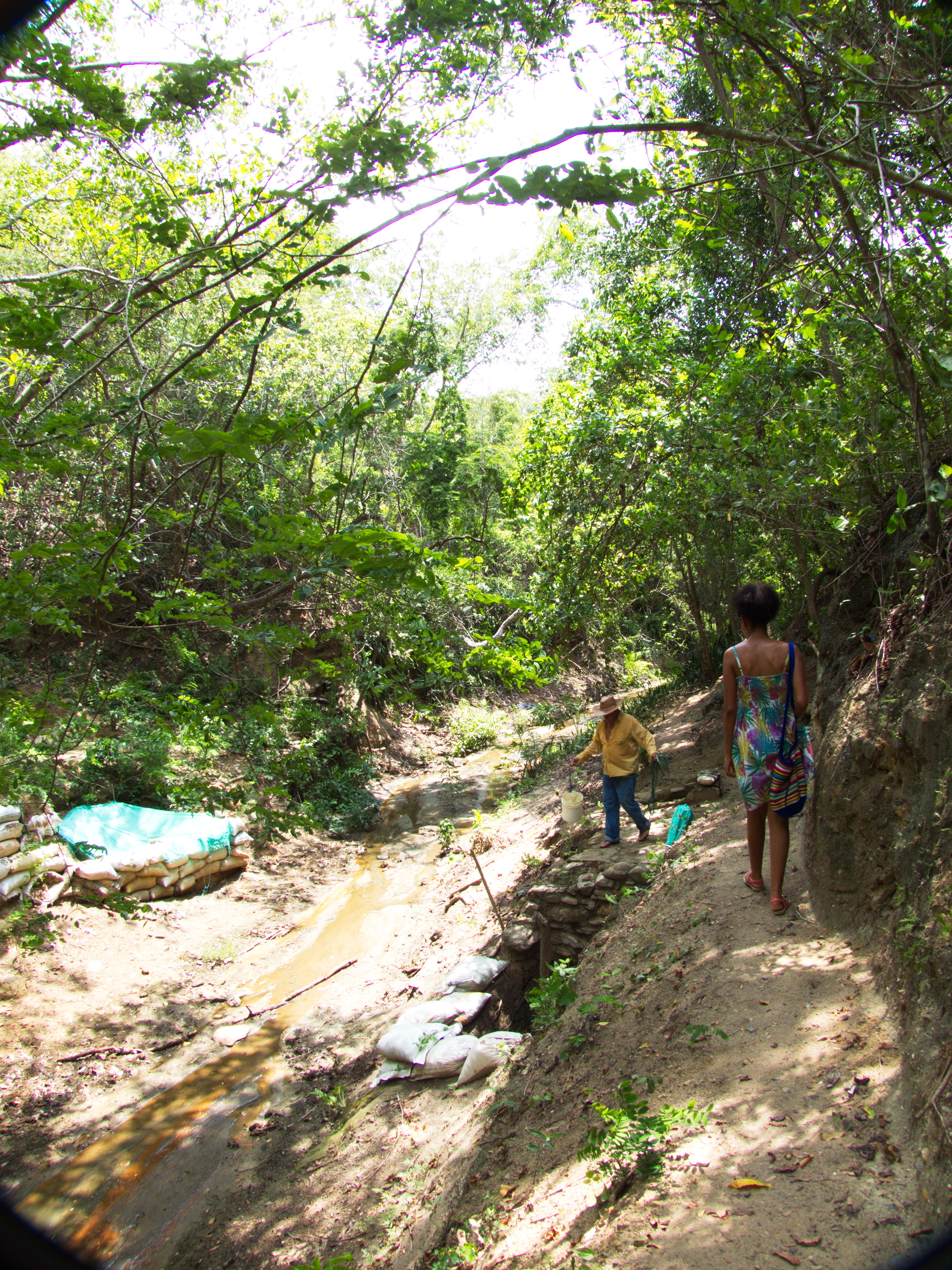
Related Photos:
IMG_1533
IMG_0034
IMG_1534
IMG_1529

IMG_1527
IMG_1517
IMG_1512
IMG_1511
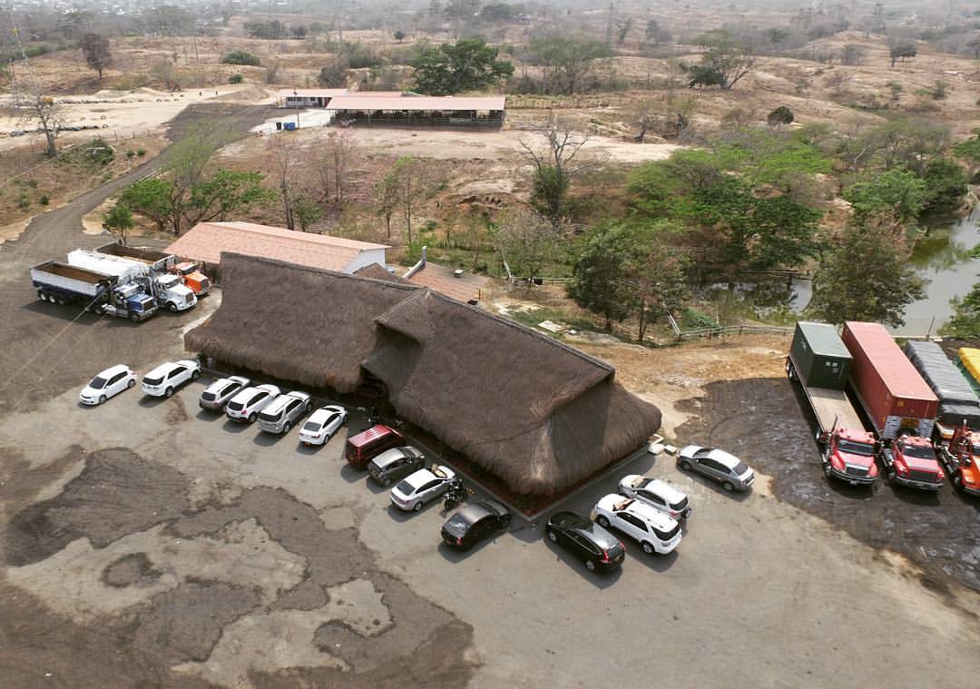
Truck stop on the road between Barranquilla and Sabanalarga atlántico. My auto. On the far right. Traditional food. Parada de camiones. Camino entre Barranquilla y Sabanalarga Atlantico. Comida sabanera. #truck #truckstop #camiones #road #roadtrip #g

Esperando el carnaval del recuerdo
IMG_1503-
Topographic Map of Atlantico, Colombia
Find elevation by address:

Places in Atlantico, Colombia:
Places near Atlantico, Colombia:
Cl. 20 #, Baranoa, Atlántico, Colombia
Malambo
Malambo
Agua Viva
Aguaviva
Soledad
Villa Soledad
Piojo
Los Corales
Metropolitan Stadium - Roberto Melendez
Carrera 19
Soledad
Luruaco
Barranquilla
Luruaco
Barranquilla
Santa Lucía
Santa Catalina
Santa Catalina
Villanueva
Recent Searches:
- Elevation of Corso Fratelli Cairoli, 35, Macerata MC, Italy
- Elevation of Tallevast Rd, Sarasota, FL, USA
- Elevation of 4th St E, Sonoma, CA, USA
- Elevation of Black Hollow Rd, Pennsdale, PA, USA
- Elevation of Oakland Ave, Williamsport, PA, USA
- Elevation of Pedrógão Grande, Portugal
- Elevation of Klee Dr, Martinsburg, WV, USA
- Elevation of Via Roma, Pieranica CR, Italy
- Elevation of Tavkvetili Mountain, Georgia
- Elevation of Hartfords Bluff Cir, Mt Pleasant, SC, USA