Elevation of Cibola Dr, Pueblo, CO, USA
Location: United States > Colorado > Pueblo County > Pueblo >
Longitude: -104.84425
Latitude: 37.9351573
Elevation: 1853m / 6079feet
Barometric Pressure: 81KPa
Elevation Map:
Satellite Map:
Related Photos:

Light Power Move near MP 150 Apr 2, 2006

Mailbox vantage point

Mailbox vantage point

Mile Marker 63

Mailbox vantage point

Food with a view
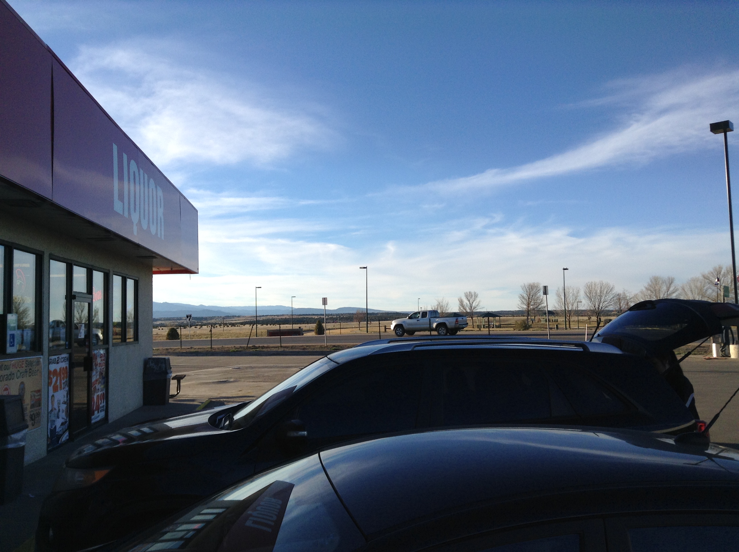
Colorado City, Colo.: view from convenience mart toward mountains

View of Cliffs

St. Charles River: Burnt Mill Road: Pueblo, Colorado (CO)

SpanishPeaks: Interstate 25, Exit 67: North of Walsenburg, Colorado (CO)

Southern Colorado Landscape

Spanish Peaks Country

A patch of light

Abandoned Prairie Home

Sneaking Acrosst the Plains

Interstate 25 Between Pueblo and Walsenburg, Colorado

Interstate 25 Between Pueblo and Walsenburg, Colorado

Greenhorn Mountain: Interstate 25, Exit 77: South of Pueblo, Colorado (CO)

Greenhorn Mountain, Interstate 25 Between Pueblo and Walsenburg, Colorado

Greenhorn Mountain, Interstate 25 Between Pueblo and Walsenburg, Colorado

Praire Sunset

Common Wood-nymph (Cercyonis pegala)

Pikes Peak

West Spanish Peak - San Isabel National Forest

Front Range Storms

My drive just got longer! I turned around ???? can I say #raodtripporn and not sound creepy? #colorado #I25 #rayshaw THANK YOU!!!
Topographic Map of Cibola Dr, Pueblo, CO, USA
Find elevation by address:

Places near Cibola Dr, Pueblo, CO, USA:
4741 Beckwith Dr
Colorado City, CO, USA
Colorado City
CO-, Colorado City, CO, USA
5284 Monte Vista Dr
6095 Waco Mish Rd
6095 Waco Mish Rd
6095 Waco Mish Rd
6095 Waco Mish Rd
6095 Waco Mish Rd
6095 Waco Mish Rd
State Hwy, Rye, CO, USA
Sunset Drive
10511 Apache City Rd
6912 Geronimo Rd
4348 E Jefferson Blvd
8053 Birch Dr
Max's Place
7921 Co-165
9640 Canyon Point Dr
Recent Searches:
- Elevation of Corso Fratelli Cairoli, 35, Macerata MC, Italy
- Elevation of Tallevast Rd, Sarasota, FL, USA
- Elevation of 4th St E, Sonoma, CA, USA
- Elevation of Black Hollow Rd, Pennsdale, PA, USA
- Elevation of Oakland Ave, Williamsport, PA, USA
- Elevation of Pedrógão Grande, Portugal
- Elevation of Klee Dr, Martinsburg, WV, USA
- Elevation of Via Roma, Pieranica CR, Italy
- Elevation of Tavkvetili Mountain, Georgia
- Elevation of Hartfords Bluff Cir, Mt Pleasant, SC, USA