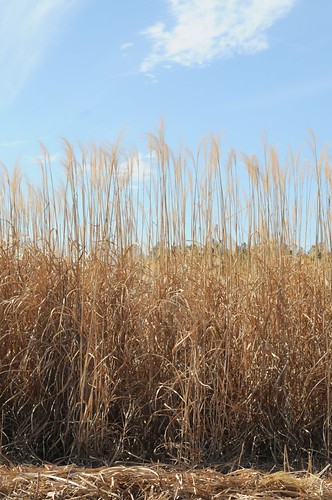
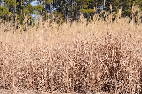
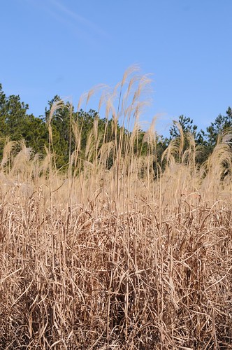
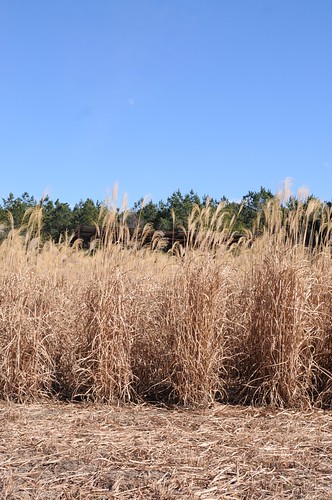
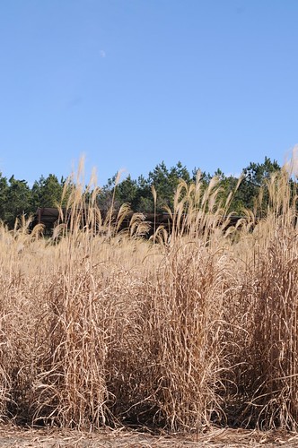
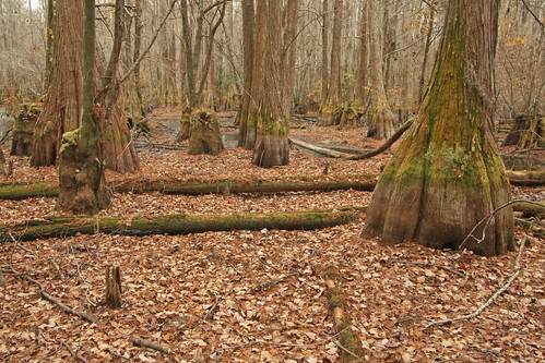
Elevation of Church Loop Rd, Rockledge, GA, USA
Location: United States > Georgia > Laurens County > Rockledge >
Longitude: -82.693452
Latitude: 32.4449538
Elevation: 63m / 207feet
Barometric Pressure: 101KPa
Related Photos:
Topographic Map of Church Loop Rd, Rockledge, GA, USA
Find elevation by address:

Places near Church Loop Rd, Rockledge, GA, USA:
Rockledge
62 GA-29, Soperton, GA, USA
Co Rd, Adrian, GA, USA
Co Rd, Soperton, GA, USA
GA-78, Adrian, GA, USA
Main St, Adrian, GA, USA
Soperton
Treutlen County
Adrian
119 Lester Carroll Rd
505 Bridgemill Rd
C448+f7
US-, Soperton, GA, USA
East Dublin
Idylwild Dr, Wrightsville, GA, USA
122 S Jefferson St
Dublin
125 Rollingwood Dr
US-, Dublin, GA, USA
GA-56, Swainsboro, GA, USA
Recent Searches:
- Elevation of Corso Fratelli Cairoli, 35, Macerata MC, Italy
- Elevation of Tallevast Rd, Sarasota, FL, USA
- Elevation of 4th St E, Sonoma, CA, USA
- Elevation of Black Hollow Rd, Pennsdale, PA, USA
- Elevation of Oakland Ave, Williamsport, PA, USA
- Elevation of Pedrógão Grande, Portugal
- Elevation of Klee Dr, Martinsburg, WV, USA
- Elevation of Via Roma, Pieranica CR, Italy
- Elevation of Tavkvetili Mountain, Georgia
- Elevation of Hartfords Bluff Cir, Mt Pleasant, SC, USA

