Elevation of Chiromo, Malawi
Location: Malawi > Southern Region >
Longitude: 35.14418
Latitude: -16.551901
Elevation: 47m / 154feet
Barometric Pressure: 101KPa
Elevation Map:
Satellite Map:
Related Photos:
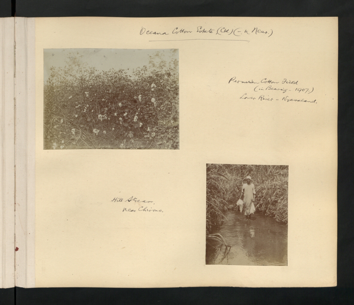
CO 1069-106-16
Topographic Map of Chiromo, Malawi
Find elevation by address:

Places near Chiromo, Malawi:
Kanjedza Lodge
Limbe Market
Limbe
Kanjedza
Kaoshiung
Mandala
Blantyre Railway Station
Blantyre
Blantyre
Lirangwe Primary
Neno
Mwanza
Recent Searches:
- Elevation of Corso Fratelli Cairoli, 35, Macerata MC, Italy
- Elevation of Tallevast Rd, Sarasota, FL, USA
- Elevation of 4th St E, Sonoma, CA, USA
- Elevation of Black Hollow Rd, Pennsdale, PA, USA
- Elevation of Oakland Ave, Williamsport, PA, USA
- Elevation of Pedrógão Grande, Portugal
- Elevation of Klee Dr, Martinsburg, WV, USA
- Elevation of Via Roma, Pieranica CR, Italy
- Elevation of Tavkvetili Mountain, Georgia
- Elevation of Hartfords Bluff Cir, Mt Pleasant, SC, USA