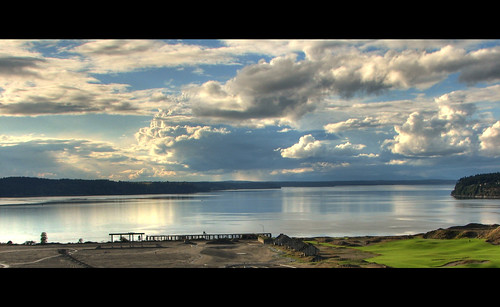
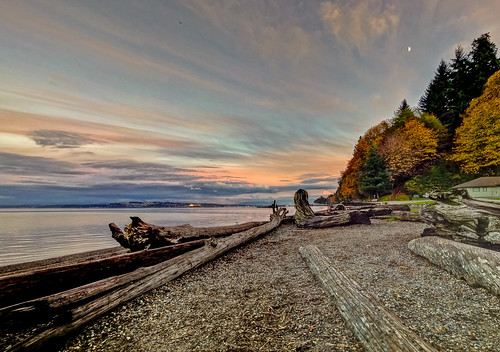
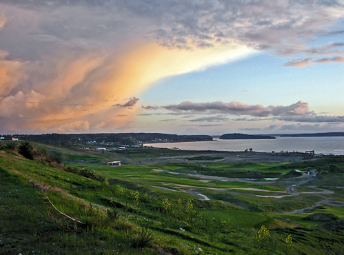
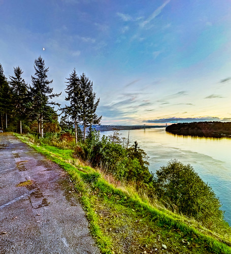
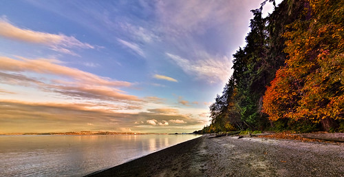
Elevation of Chippewa Trail, Fox Island, WA, USA
Location: United States > Washington > Pierce County >
Longitude: -122.65670
Latitude: 47.2695207
Elevation: 38m / 125feet
Barometric Pressure: 101KPa
Related Photos:
Topographic Map of Chippewa Trail, Fox Island, WA, USA
Find elevation by address:

Places near Chippewa Trail, Fox Island, WA, USA:
6356 Cromwell Beach Dr Nw
9102 27th St Ct Nw
9102 27th St Ct Nw
855 9th Ave
1391 11th Ave
5016 Cromwell Dr Nw
1419 Lucille Pkwy Nw
8922 Villa Beach Rd
Chambers Bay Walk
1007 27th St Ct Nw
3326 Vista Pl W
8420 S 16th St
5212 95th Ave Ct W
9803 58th St Ct W
University Place
8606 33rd St W
27th St W, University Place, WA, USA
Steilacoom
1115 Starling St
2592 Madrona Point Ln
Recent Searches:
- Elevation of Corso Fratelli Cairoli, 35, Macerata MC, Italy
- Elevation of Tallevast Rd, Sarasota, FL, USA
- Elevation of 4th St E, Sonoma, CA, USA
- Elevation of Black Hollow Rd, Pennsdale, PA, USA
- Elevation of Oakland Ave, Williamsport, PA, USA
- Elevation of Pedrógão Grande, Portugal
- Elevation of Klee Dr, Martinsburg, WV, USA
- Elevation of Via Roma, Pieranica CR, Italy
- Elevation of Tavkvetili Mountain, Georgia
- Elevation of Hartfords Bluff Cir, Mt Pleasant, SC, USA


