Elevation of Chipmunk Trail, Georgetown, CA, USA

Location: United States > California > El Dorado County > Georgetown >

Longitude: -120.81465

Latitude: 38.9119219

Elevation: 964m / 3163feet

Barometric Pressure: 90KPa

Elevation Map:

elevation map of Chipmunk Trail, Georgetown, CA, USA

Satellite Map:

Satellite map of Chipmunk Trail, Georgetown, CA, USA

Related Photos:

auburn hike americanriver auburnstaterecreationarea
Auburn 32-mile Hike
california clouds bench interestingness bravo picnic view explore foresthill 57 sierrafoothills blueribbonwinner 1raw impressedbeauty sorrypaul dphdr
Before the Rain
california landscape applegate coth abigfave impressedbeauty diamondclassphotographer flickrdiamond ef1635mmf28liiusm nejmantowicz dragondaggerphoto flickrclassique salonpolski
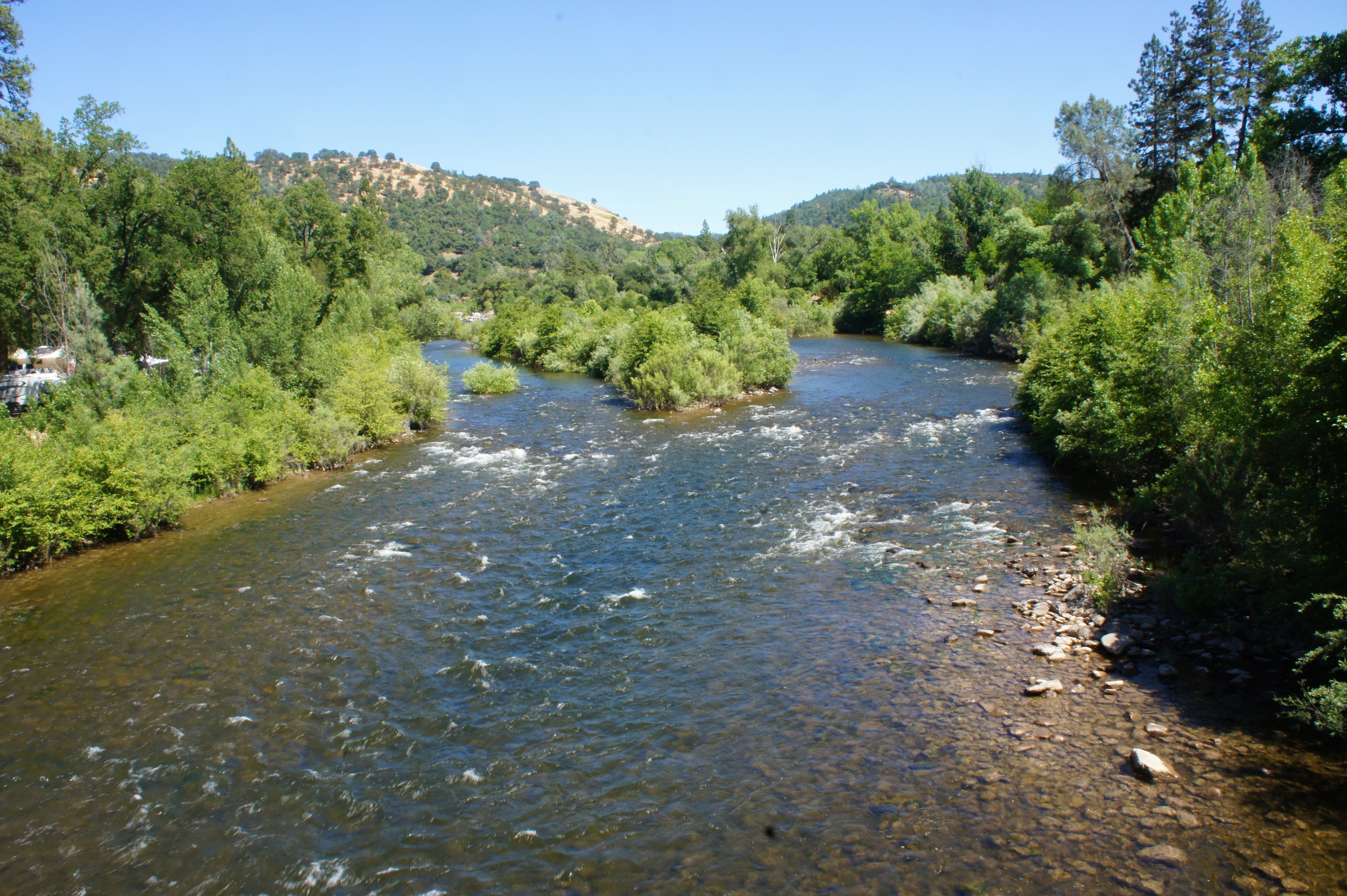
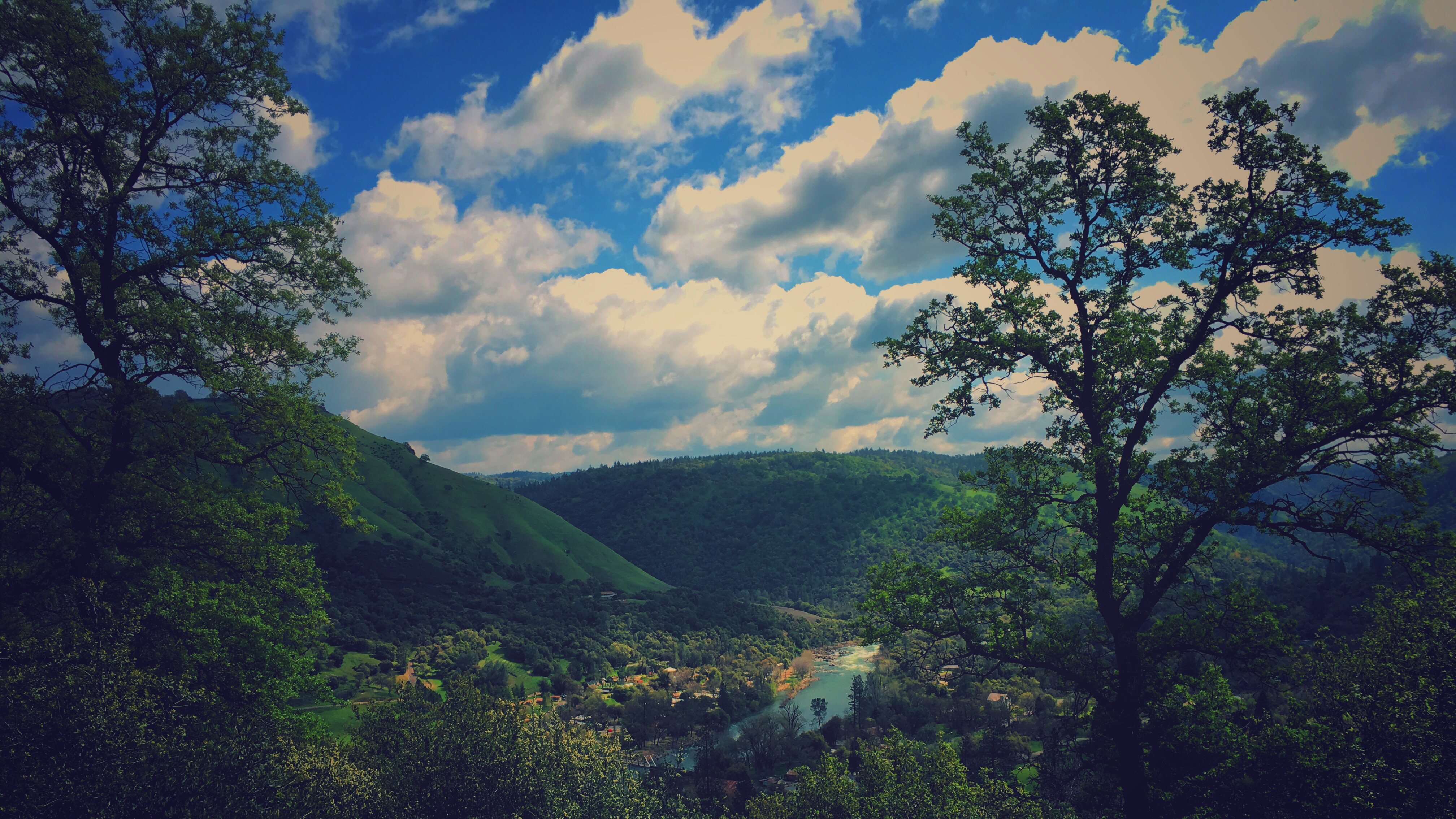
North Fork American River
california red race running run racing psycho runner ultramarathon trailrun trailrunning panningshot westernstates100 endurancerun teampsycho
psycho runner
camping riley arr trailer rv coloma suttersmill colomaca southforkoftheamericanriver americanriverresort 9682742
RV Camping..
statepark morning trees sky church nature forest gold town site claire cabin woods catholic unitedstates path sony ghost stjohns historic alpha dslr discovery daybreak coloma johnmarshall suttersmill calfornia toney wellpreserved sonya200 mygearandme mygearandmepremium ringexcellence clairetoney
Morning Services
california blue sky moon mountain tree 20d canon landscape daylight photo sierra photograph half sacramento noon midday placercounty casch canon2880f284l familygetty
Midday Moon 1786
race running run runner ultramarathon endurancerace westernstates100
Western States runner
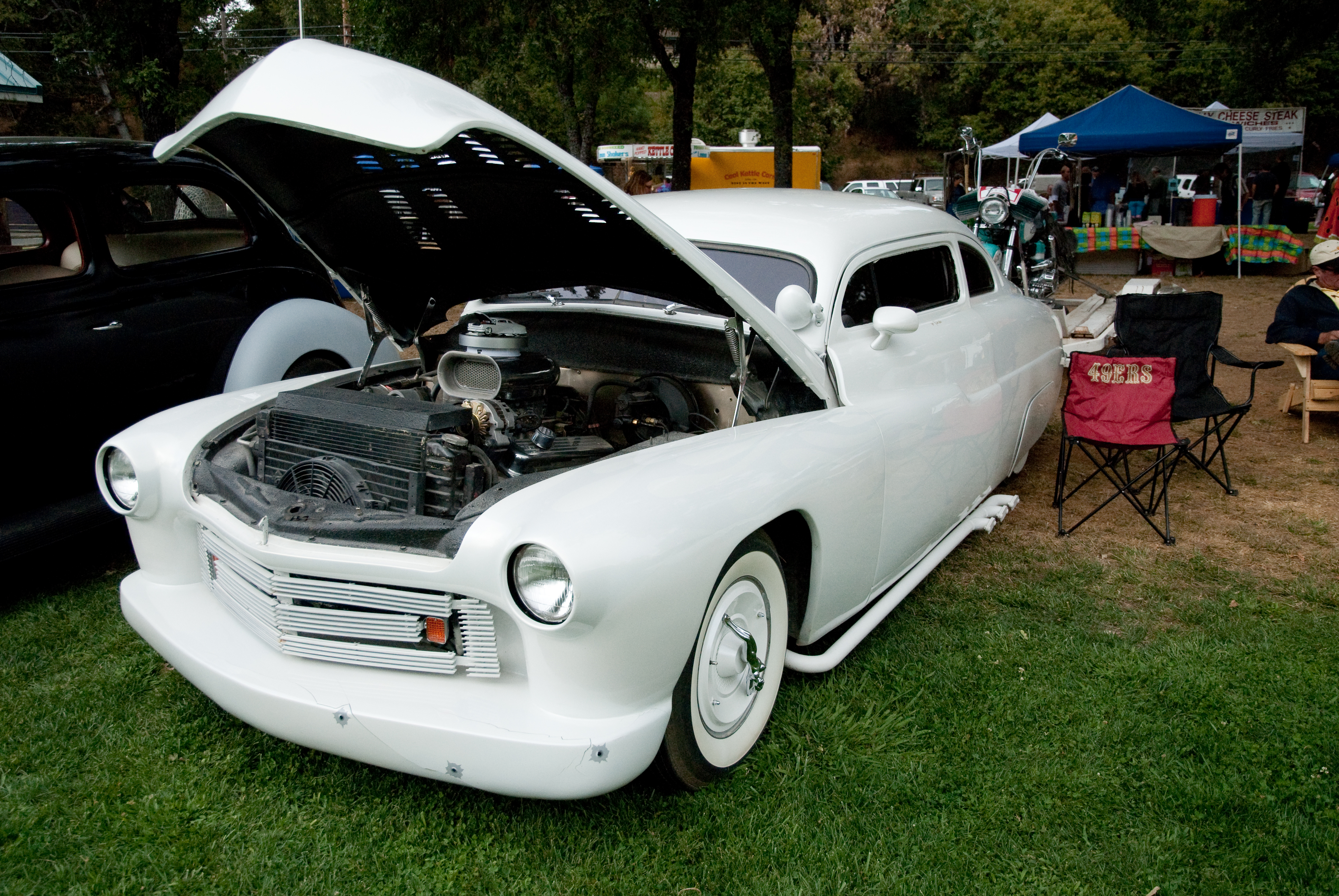
nikon d200 carshow 2010 nikond200 gardenvalley gardenvalleycarshow
GVCarShow-6
california summer canon fire july eldorado 7d firefighting tamron placer neu wildfire blm americanriver 2016 usfs eldoradonationalforest enf aeu calfire canon7dmarkii tamron150600mm trailheadfire
The view from Foresthill
california mountain lake snow 20d canon landscape photo high country tahoe sierra photograph sacramento capped foresthill placercounty familygetty
High Sierra Vista 1766
bird grosbeak placercounty sierrafoothills blackheadedgrosbeak pheucticusmelanocephalus perchingbird femaleblackheadedgrosbeak
Black-headed Grosbeak
california landscape scenery view roadtrip viewpoint coloma californiastatepark californiagoldrush sierrafoothills marshallgolddiscoveryshp
Marshall Gold Discovery State Historic Park
california trees northerncalifornia clouds edited pines sierranevada pinetrees thunderclouds oaktrees thunderstorms ponderosapines 25july2013
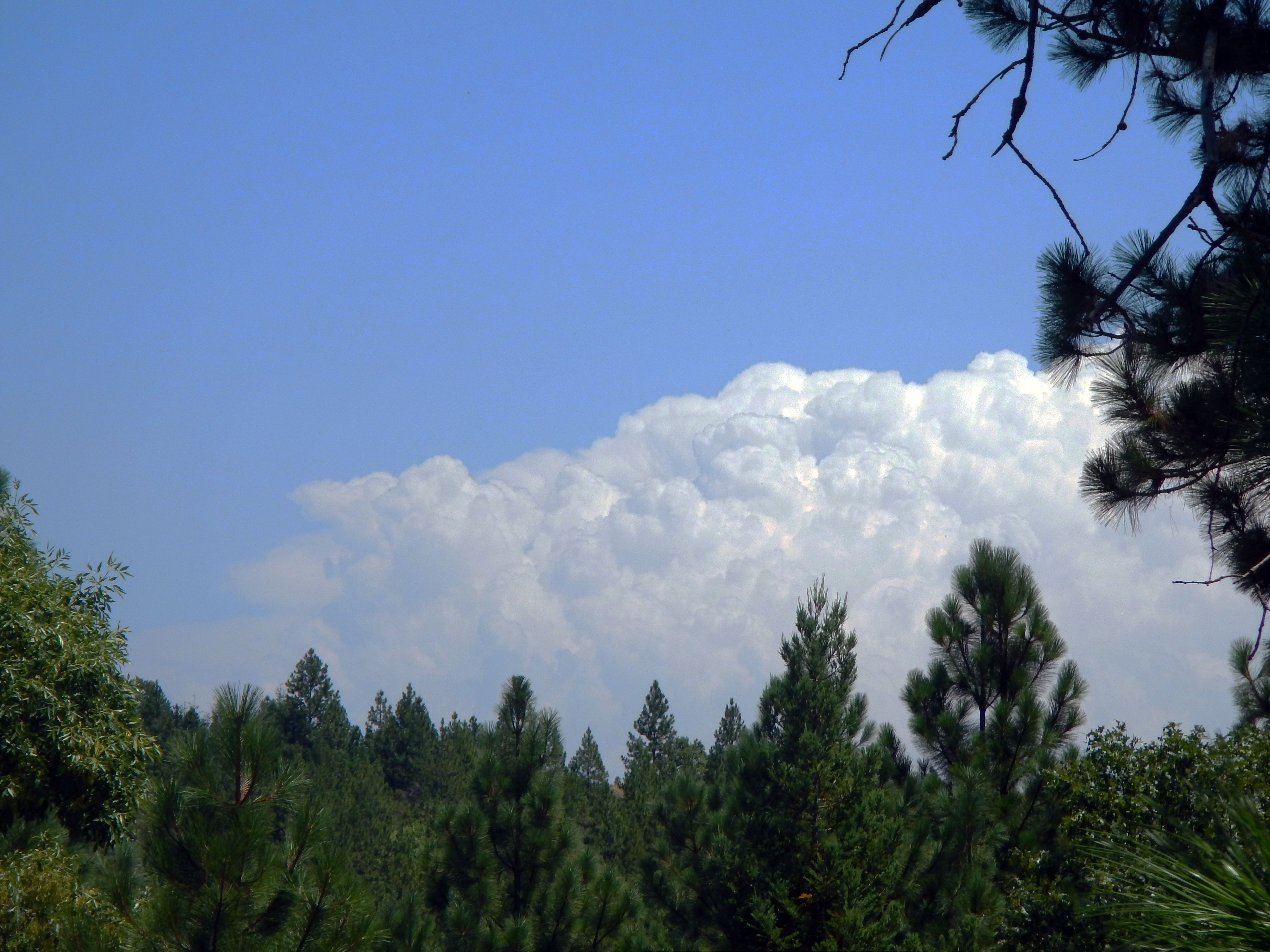
Thunderclouds Over the Crest
california ca camping lotus
da river view from our campsite
california unitedstates placerville
View from James Marshal Monument. Marshal Gold Discovery State Historic Park. Coloma, California. December 20, 2012.
mountains foothills thunderclouds clouds road kelsey georgetown 25july2013 edited california northerncalifornia sierranevada highway193 chilebar hot
Road to the Clouds
california northerncalifornia dark edited pines thunderstorm grayscale sierranevada pinetrees thunderclouds ponderosapines 25july2013
Dark Thunderclouds
autostitch panorama americanriver southfork
South Fork Panorama
camp nature square vineyard kitsch disney squareformat campout bearcreek club33 gardenvalley thomaskincade iphoneography instagramapp uploaded:by=instagram romevalleyvineyards davidfatemehs
This place is a Thomas Kincaid Disney wedging cake vineyard with music coming out of rocks and plastic flowers galore with awesome views and vineyard
plants nature water landscapes rivers treesandbushes stockcategories e1855mmf3556oss
ATR20120610T14-21-35DSC06278
mf tmy2 rodinal fuji gsw690iii coloma ca film analog bw blackandwhite
land of milk and honey
tree water rock waterfall hiking hike coloma eldoradocounty dutchcreekwaterfall
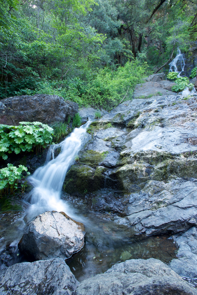
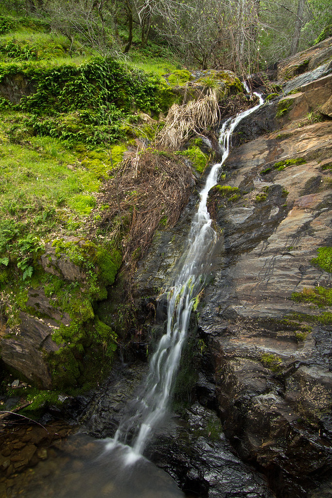
Dutch Creek Waterfall
Waterfall 9
eldorado sierra sierranevada rockcreek eldoradonationalforest enf
Rock Creek, El Dorado Co
california coloma
finding gold in the valley of Coloma
landscape weimar waterfall jims yankee colfax d800 1424
Yankee Jim's Waterfall
winter northerncalifornia coloma eldoradocounty sierranevadafoothills canon7d americanriversouthfork canon1585mmusmis lightroom4 topazsw
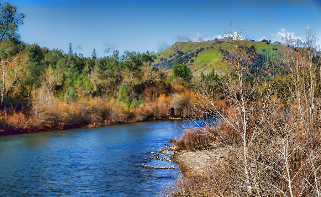
A Winter Morning Along the South Fork of the American River
ranch northerncalifornia coloma eldoradocounty highway49 ranchland canong11 lightroom4 topazsw
Forty Acres and a Mule
california foothills water creek canon waterfall stream sigma adobe cascades vivitar manfrotto placercounty sierranevadafoothills auburnstaterecreationarea devilsfalls canoneos50d manfrotto190xprobtripod lightroom3 zeikos northforkamericanrivercanyon adobephotoshopcs5 adobebridgecs5 sigma1770mmf2845dcmacrolens zeikoscpl devilscanyoncreek vivitarwirelessshutterreleasevivrc200 manfrottobasicpantilthead
Falling Away
california county sierranevada placer codfishcreek placecounty
Waterfall 3
elements
Perfect lil Christmas trees
ca gold rush exploration 49er suttersmillcoloma
Sutter's Mill, Coloma, California Gold Rush Historic Site
In Bear Country
california history river landscape scenery roadtrip americanriver coloma californiastatepark californiagoldrush sierrafoothills marshallgolddiscoveryshp
Marshall Gold Discovery State Historic Park
california foothills creek canon river waterfall hiking sigma places placercounty americanriver sierranevadafoothills northforkamericanriver auburnstaterecreationarea canoneos50d seasonalcreek sigma1770mmf2845dcmacrolens zeikoscpl conkinfilterholder leefilter9ndgradpseries
Seasonal Waterfall
wildfire tahoenationalforest americanfire
Southwest Airlines' flight from Las Vegas today flew over the American Fire. Image: Bill Roush