Elevation of Chipmunk Rd, Middleburg, FL, USA
Location: United States > Florida > Clay County > Middleburg >
Longitude: -81.900249
Latitude: 30.026575
Elevation: 27m / 89feet
Barometric Pressure: 101KPa
Elevation Map:
Satellite Map:
Related Photos:
Black Creek, Middleburg FL

a chork and his doolie
Musical Notes in bloom - another view
John E Hayes Memorial Park
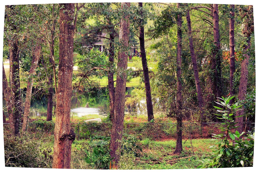
Vegetated Natural Buffer / Conservation Area

Song Sparrow (Melospiza melodia)

A-6 Intruder at Camp Blanding
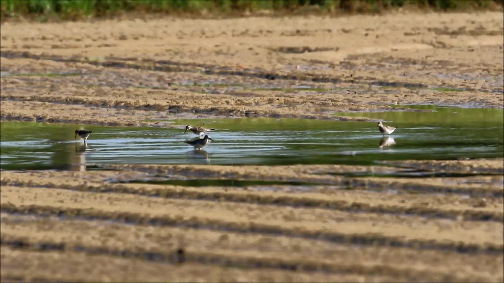
Pectoral Sandpiper (Calidris melanotos)

A-7 Corsair Displayed at Camp Blanding

Camp Blanding - Trench Periscope

Side View
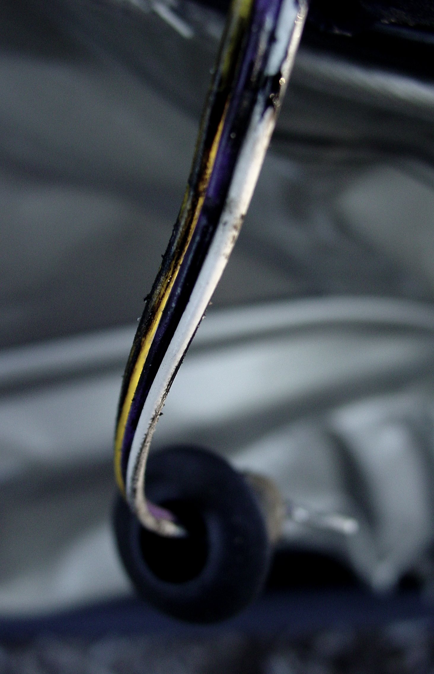
Perhaps the cutting-edge side-view mirror?

"Rediscover Early Florida" Church
Sunset after storm
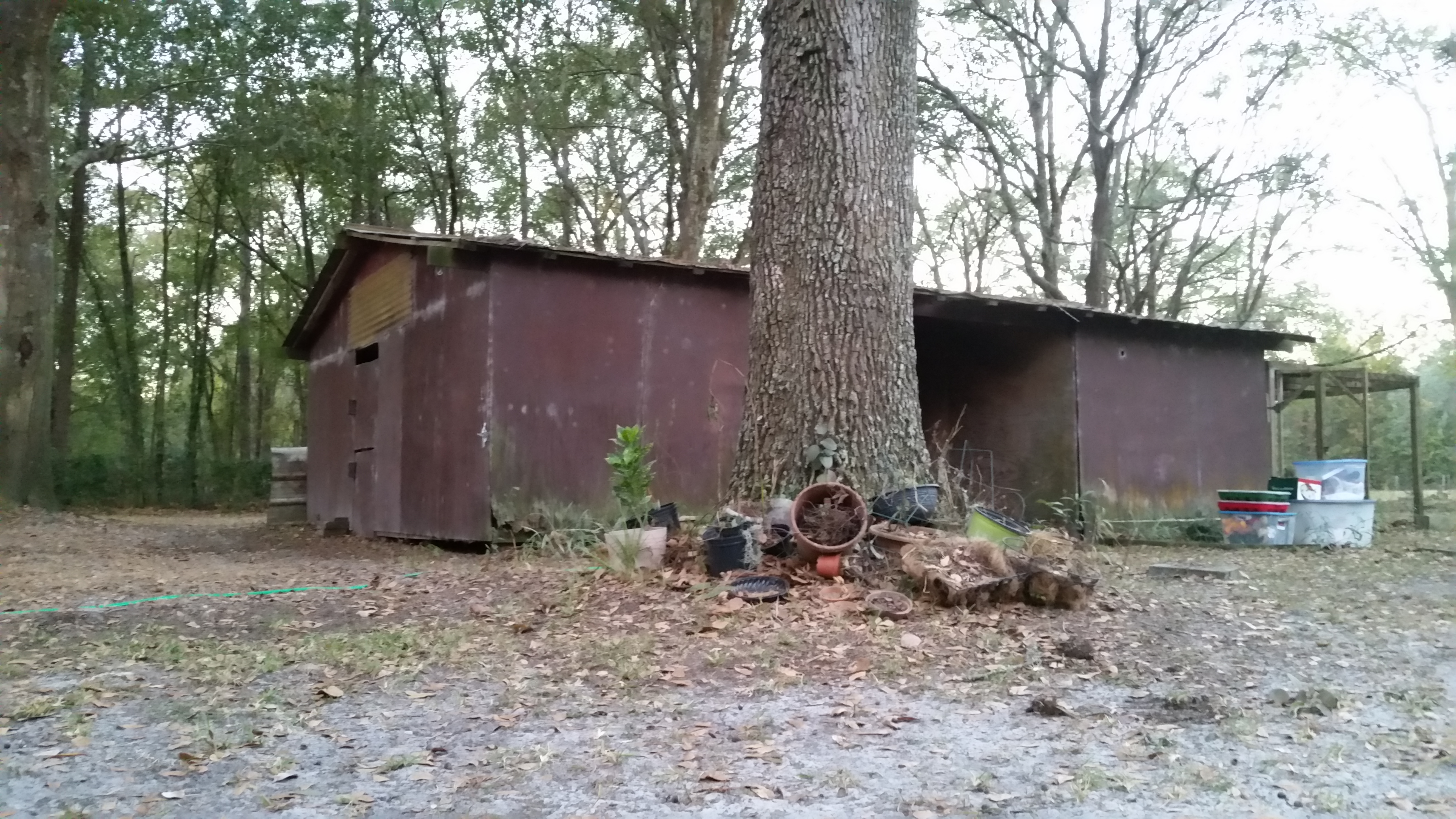
Barn Find

Sunset after storm

The sun setting on pines

Camp Blanding

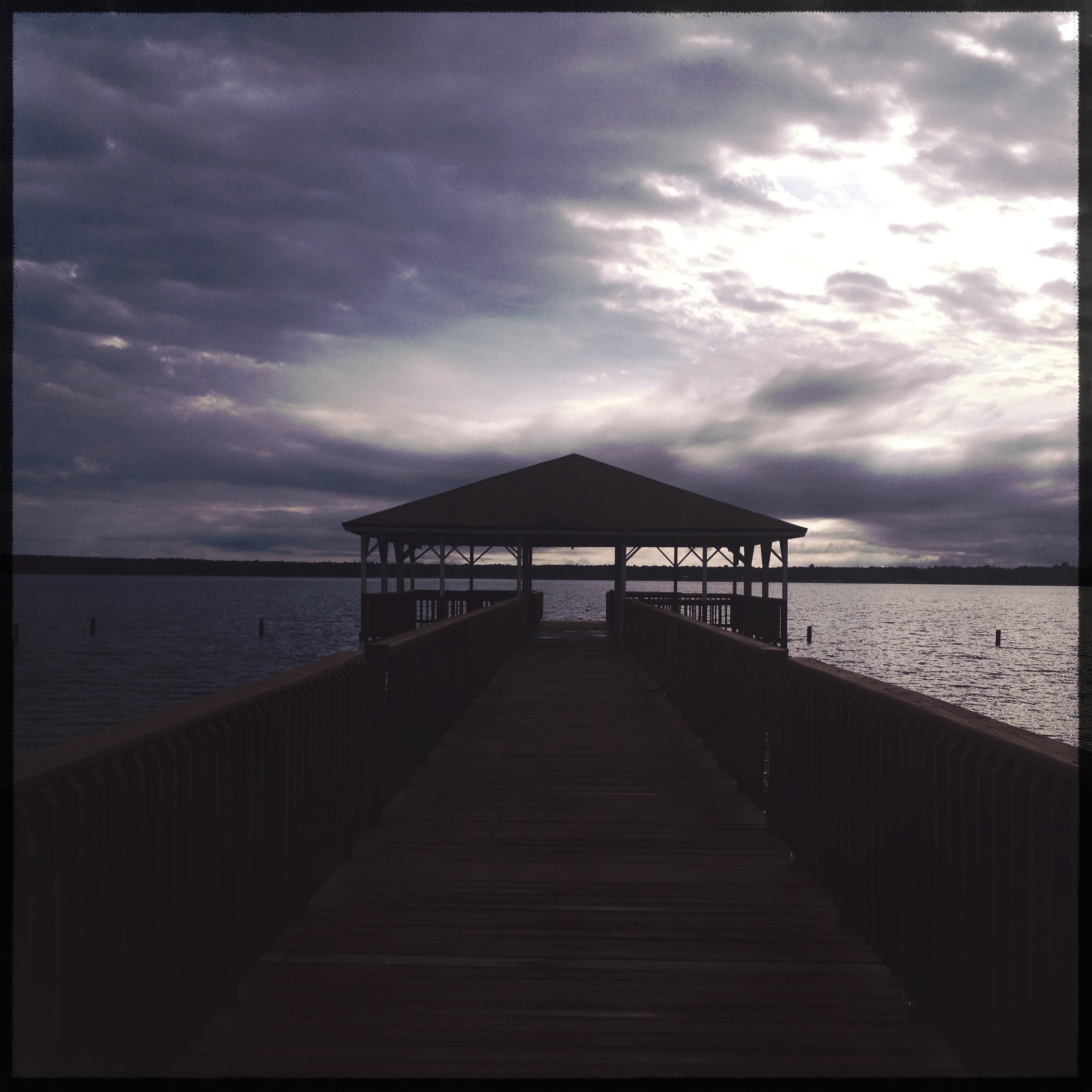
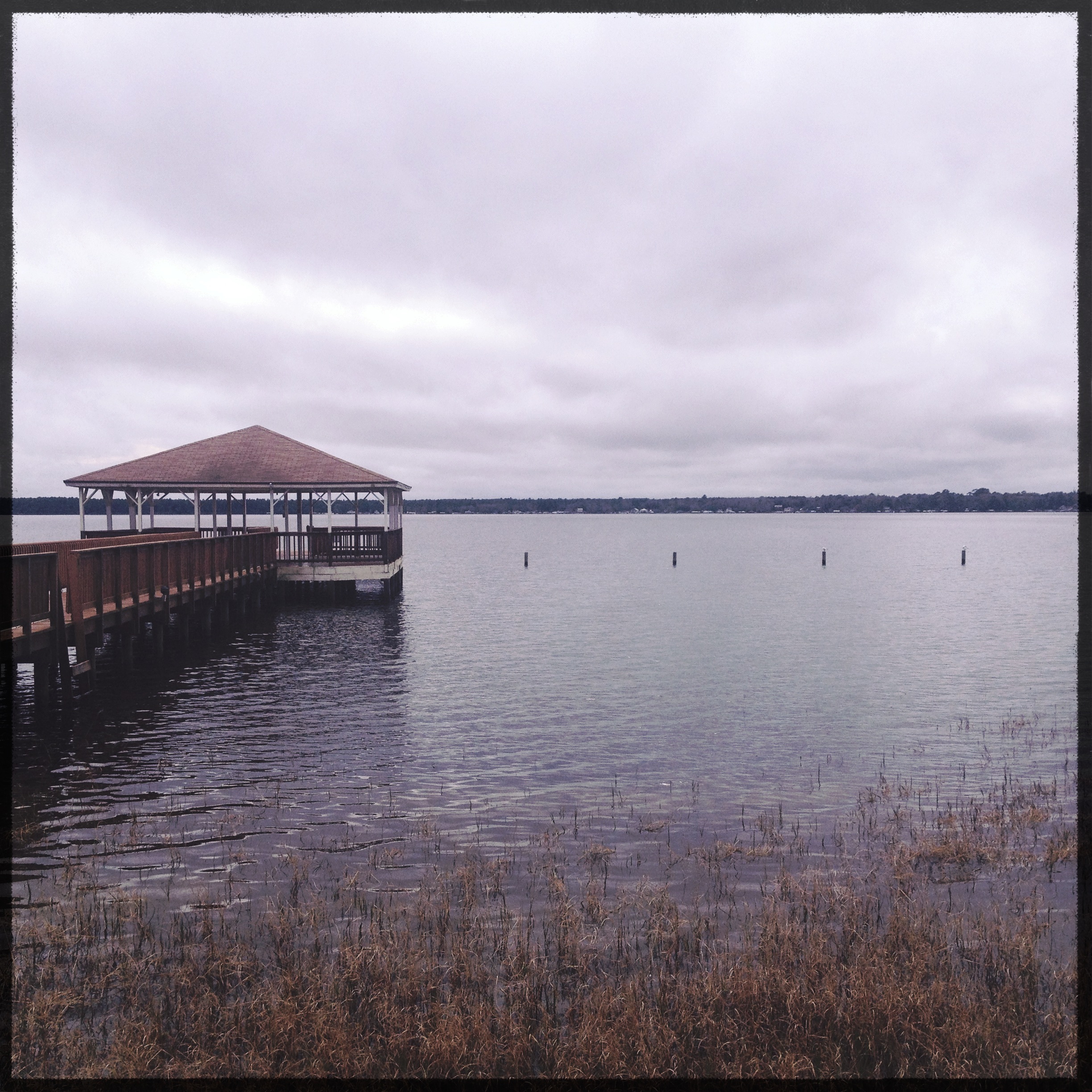
Dusk over Lake Kingsley
Ripple on the pond - a fishing pond in NE Florida
Sunset after storm

Camp Blanding

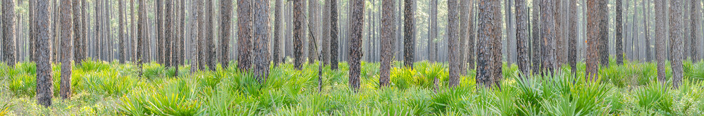
The Woods
lighted field II

Florida fishing pond

Jim Dandy
Camp Blanding

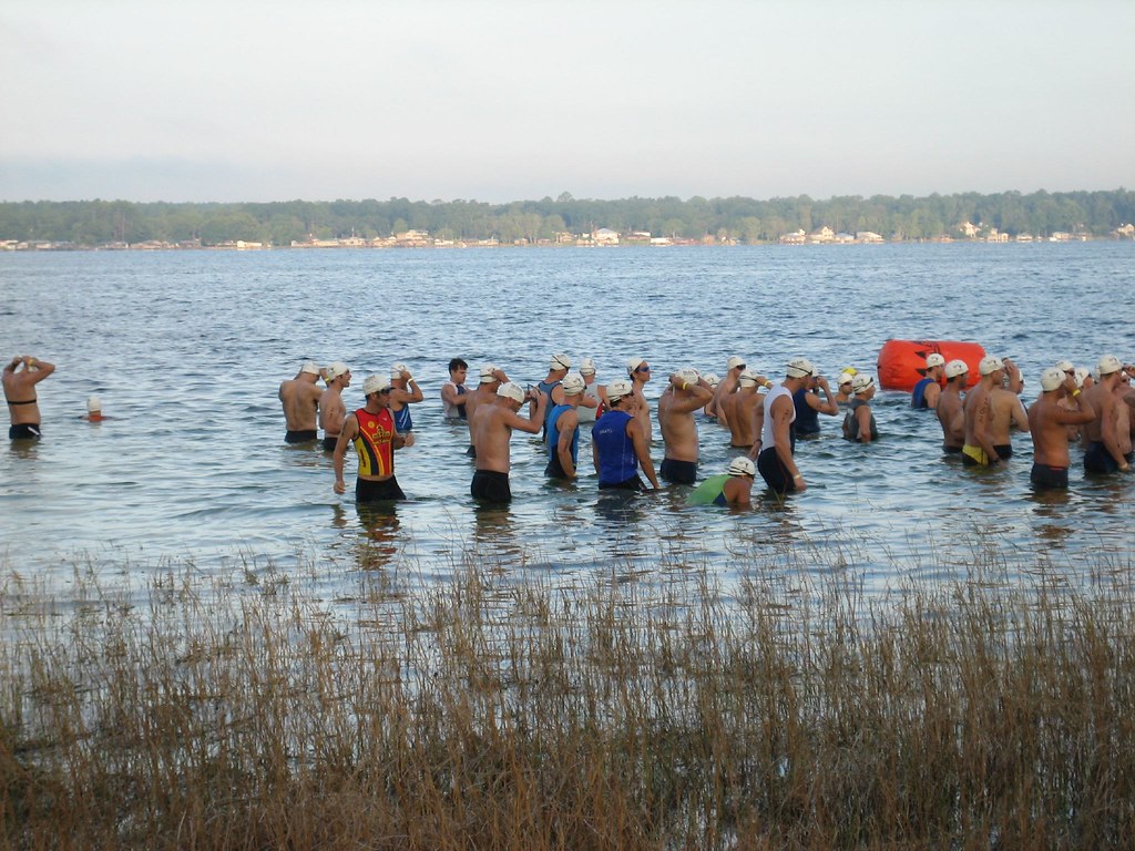
Operation Sunrise Rescue
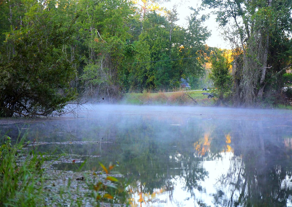
smoke on the water
060827_HOT 018

Ginger patch & the pond

060827_HOT 017
Topographic Map of Chipmunk Rd, Middleburg, FL, USA
Find elevation by address:

Places near Chipmunk Rd, Middleburg, FL, USA:
4474 Chipmunk Rd
4515 Chipmunk Rd
Camel Circle
Magnolia Avenue
4526 Magnolia Ave
4526 Magnolia Ave
4640 Petunia Ave
Waterlily Court
4204 Honeysuckle Cir
2478 Halperns Way
Black Creek Drive
2411 Halperns Way
2382 Sandy Run Dr N
2382 Sandy Run Dr N
0 Co Rd 218
2790 Ravines Rd
2789 Ravines Rd
4067 Edgeland Trail
2307 Ravines Lake Rd
3515 Toms Ct
Recent Searches:
- Elevation of Corso Fratelli Cairoli, 35, Macerata MC, Italy
- Elevation of Tallevast Rd, Sarasota, FL, USA
- Elevation of 4th St E, Sonoma, CA, USA
- Elevation of Black Hollow Rd, Pennsdale, PA, USA
- Elevation of Oakland Ave, Williamsport, PA, USA
- Elevation of Pedrógão Grande, Portugal
- Elevation of Klee Dr, Martinsburg, WV, USA
- Elevation of Via Roma, Pieranica CR, Italy
- Elevation of Tavkvetili Mountain, Georgia
- Elevation of Hartfords Bluff Cir, Mt Pleasant, SC, USA