Elevation of Chickasaw Rd, Bruner, MO, USA
Location: United States > Missouri > Christian County > Bruner > Bruner >
Longitude: -92.9349797
Latitude: 37.0227519
Elevation: 440m / 1444feet
Barometric Pressure: 0KPa
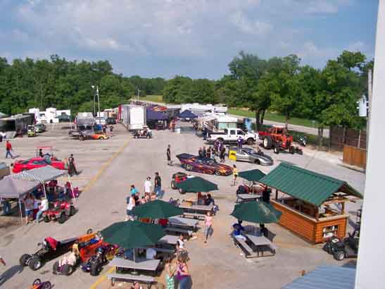
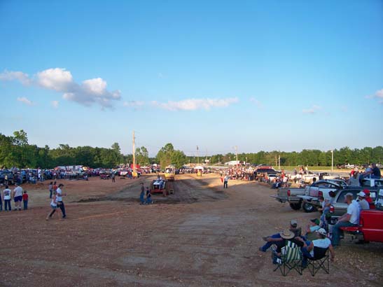
Related Photos:
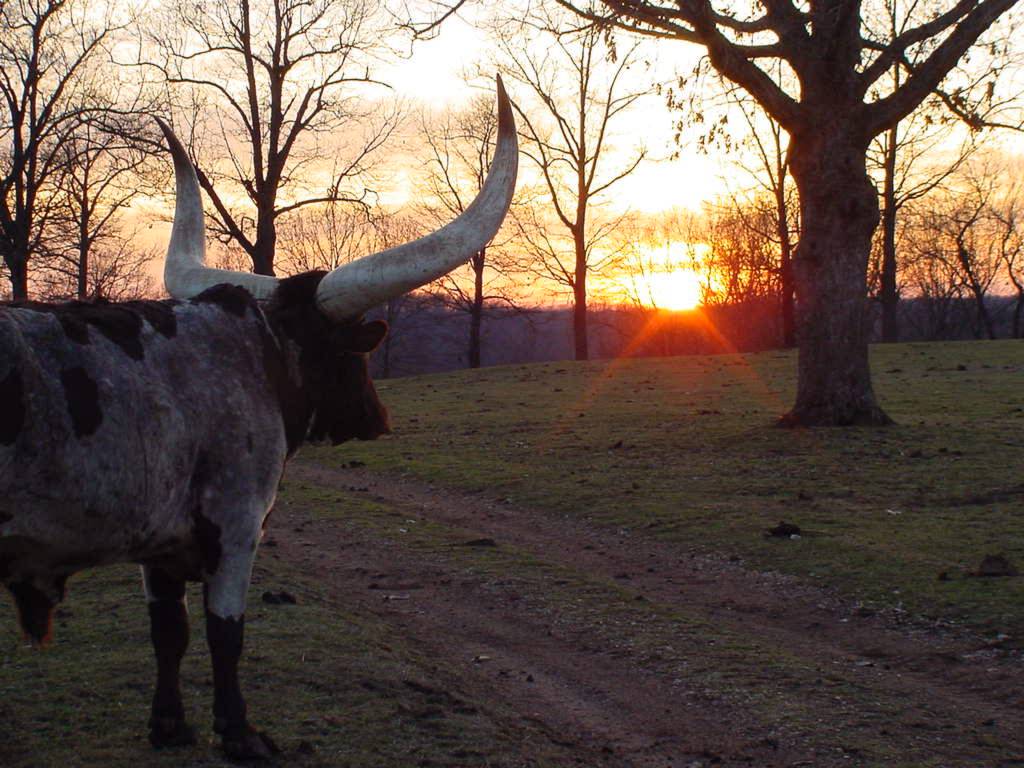
SUNSET VIEW
Near Olga, State Highway Z

Buna dimineatza! Park ii noapte, pahodu azi ii furtuna serioasa! :)

WP_20140618_010.jpg

WP_20140618_007.jpg
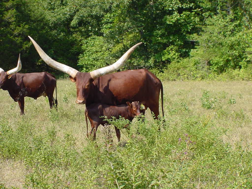
HIGH HAY FIELD
WP_20140618_008.jpg
OKSANA 8-05
052910-6
052210-blackout6
Topographic Map of Chickasaw Rd, Bruner, MO, USA
Find elevation by address:

Places near Chickasaw Rd, Bruner, MO, USA:
951 Chickasaw Rd
744 State Hwy Z
351 Swallow Dr
Bruner
East Mountain Drive
Bruner
State Hwy Z, Fordland, MO, USA
8155 State Hwy T
462 Braden Rd
Lead Hill Township
State Highway Ak
644 Valley View Rd
West Benton Township
301 Estate Dr
295 Estate Dr
Burkhart Drive
Chadwick
Sparta
Linden Township
Mccracken Township
Recent Searches:
- Elevation of 8, Rue de Bécancour, Blainville, Thérèse-De Blainville, Quebec, J7B1N2, Canada
- Elevation of Wilmot Court North, 163, University Avenue West, Northdale, Waterloo, Region of Waterloo, Ontario, N2L6B6, Canada
- Elevation map of Panamá Province, Panama
- Elevation of Balboa, Panamá Province, Panama
- Elevation of San Miguel, Balboa, Panamá Province, Panama
- Elevation of Isla Gibraleón, San Miguel, Balboa, Panamá Province, Panama
- Elevation of 4655, Krischke Road, Schulenburg, Fayette County, Texas, 78956, USA
- Elevation of Carnegie Avenue, Downtown Cleveland, Cleveland, Cuyahoga County, Ohio, 44115, USA
- Elevation of Walhonding, Coshocton County, Ohio, USA
- Elevation of Clifton Down, Clifton, Bristol, City of Bristol, England, BS8 3HU, United Kingdom
- Elevation map of Auvergne-Rhône-Alpes, France
- Elevation map of Upper Savoy, Auvergne-Rhône-Alpes, France
- Elevation of Chamonix-Mont-Blanc, Upper Savoy, Auvergne-Rhône-Alpes, France
- Elevation of 908, Northwood Drive, Bridge Field, Chesapeake, Virginia, 23322, USA
- Elevation map of Nagano Prefecture, Japan
- Elevation of 587, Bascule Drive, Oakdale, Stanislaus County, California, 95361, USA
- Elevation of Stadion Wankdorf, Sempachstrasse, Breitfeld, Bern, Bern-Mittelland administrative district, Bern, 3014, Switzerland
- Elevation of Z024, 76, Emil-von-Behring-Straße, Marbach, Marburg, Landkreis Marburg-Biedenkopf, Hesse, 35041, Germany
- Elevation of Gaskill Road, Hunts Cross, Liverpool, England, L24 9PH, United Kingdom
- Elevation of Speke, Liverpool, England, L24 9HD, United Kingdom